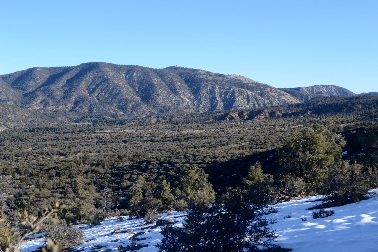
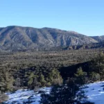
Tecuya Mountain, taken from Frazier Mountain, photo by Valerie Norton
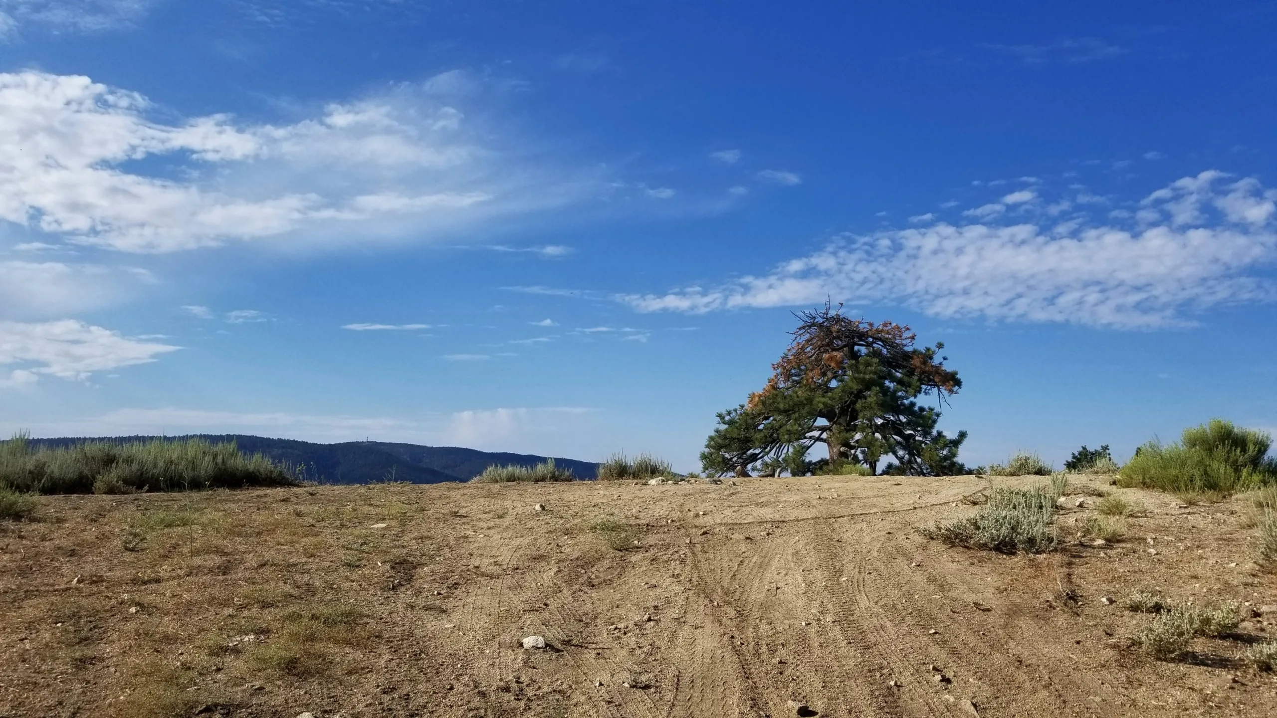
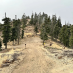
Tecuya near summit, photo by Tao Zhang
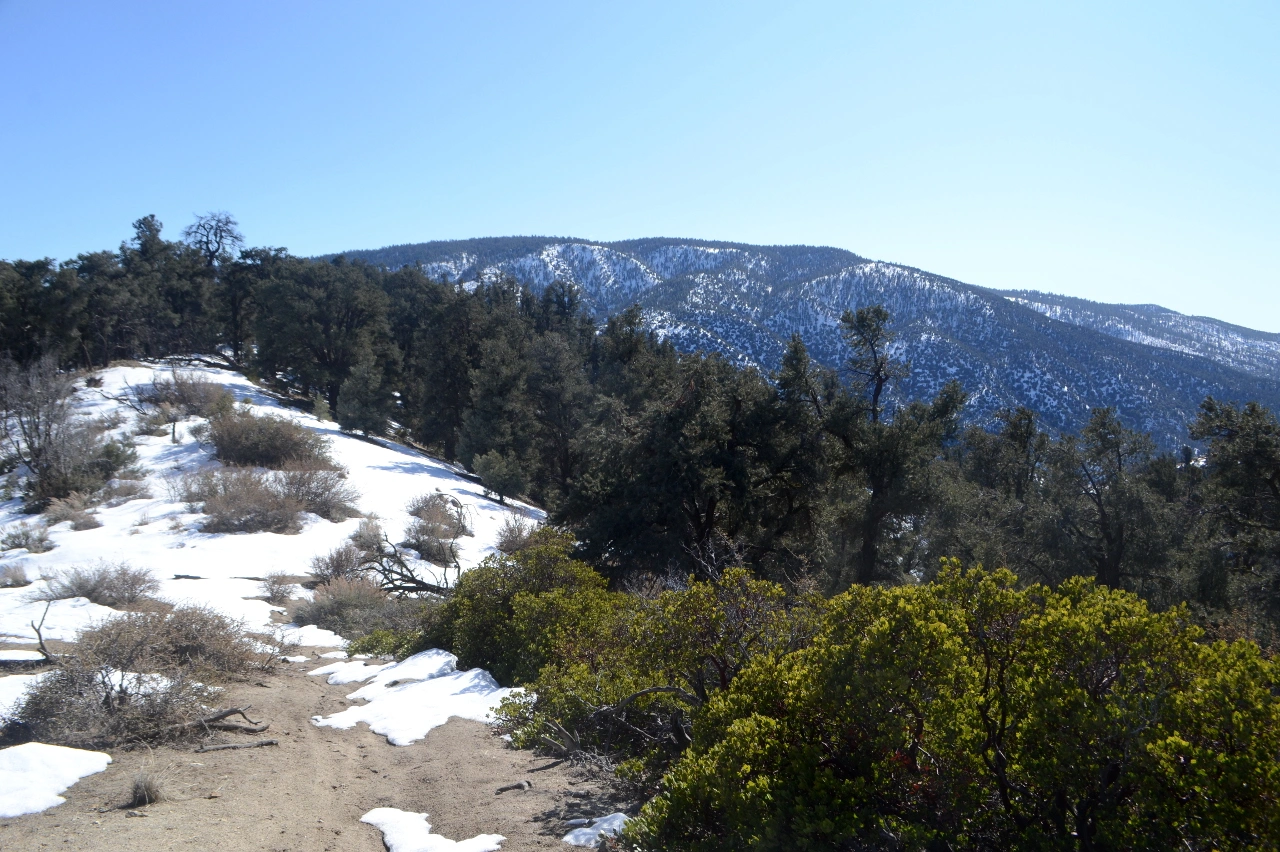
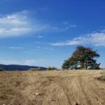
Frazier Mountain from Tecuya Mountain. Photo by Valerie Norton
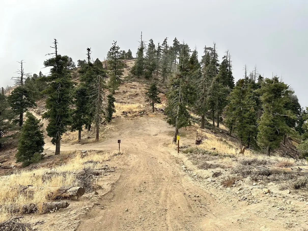
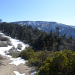
Tecuya Mountain, approaching the summit. Photo by Sunny Yi


Peakbagger.com

Nearest ranger station

NOAA Forecast

Google Earth


