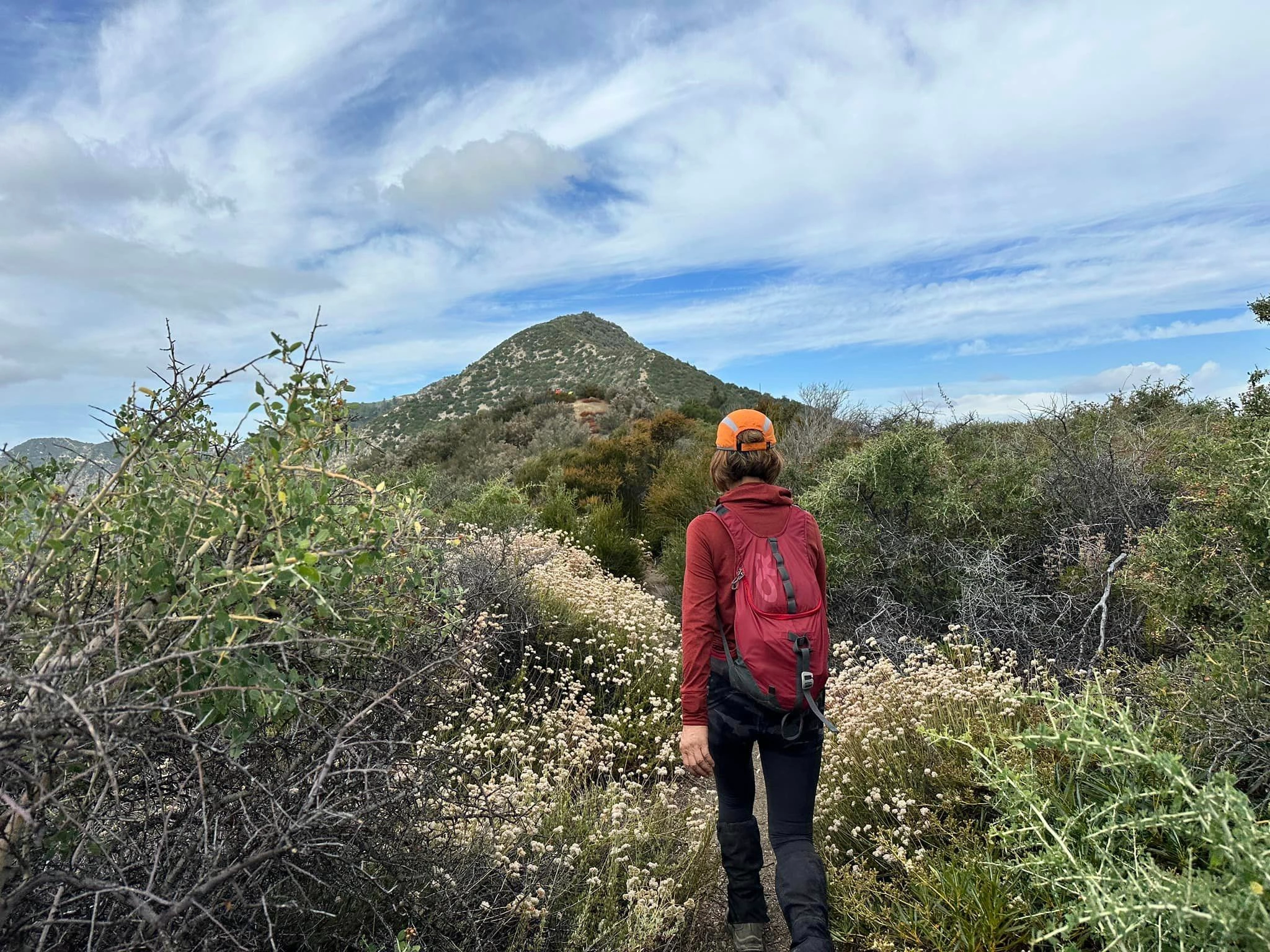
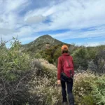
Sunset Portrait, photo by Nahid Shirazi
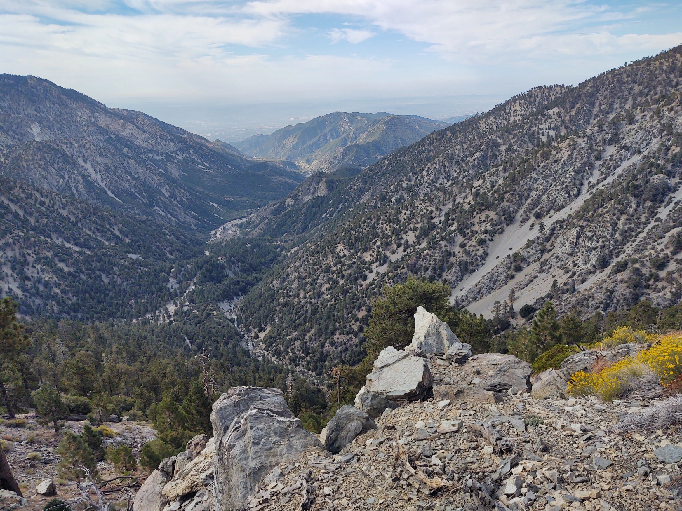
Sunset View, taken from Summit, photo by Steve Russell
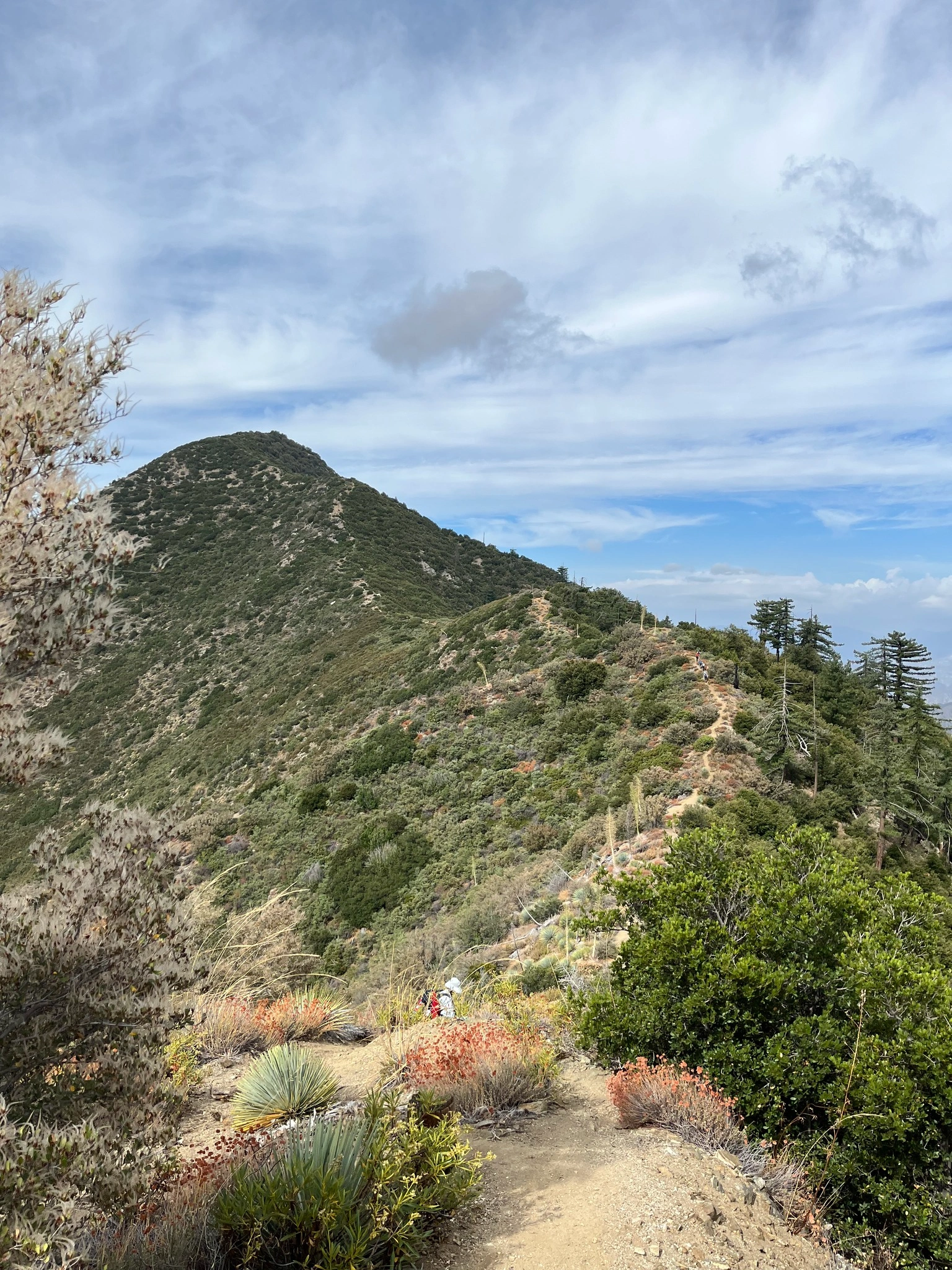
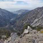
Sunset Peak, photo by Sunny Yi


Peakbagger.com

Nearest ranger station

NOAA Forecast

Google Earth


