OLYMPUS DIGITAL CAMERA
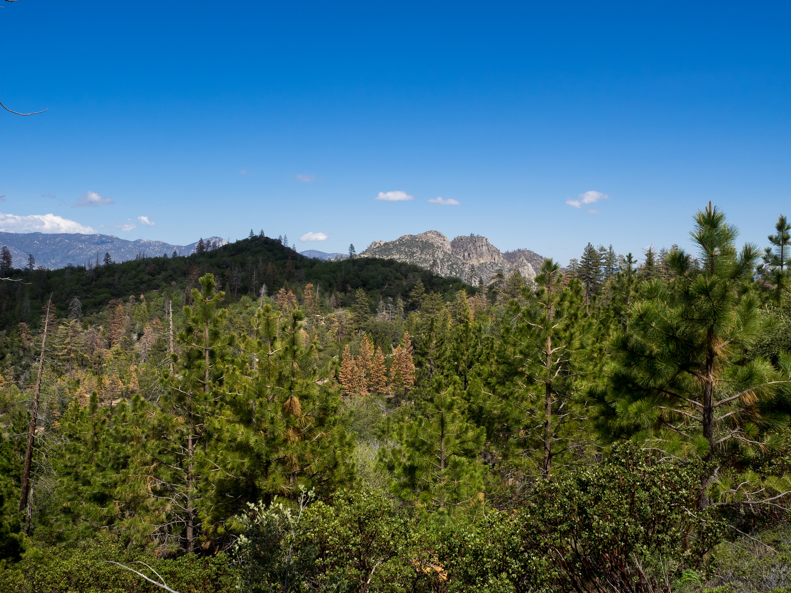
Split Mountain, photo by Kathy Wing
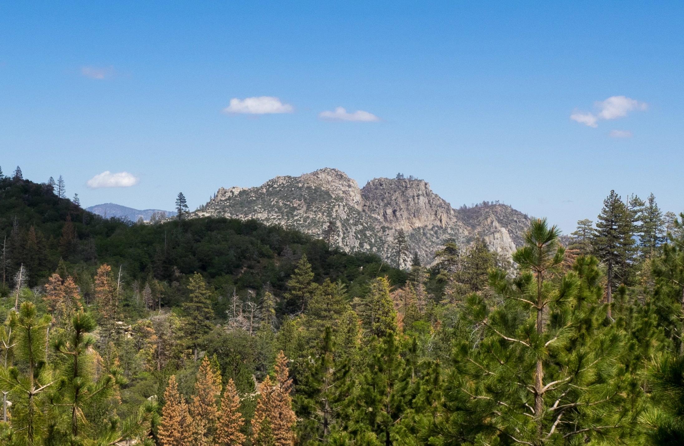
Split Mountain, photo by Kathy Wing
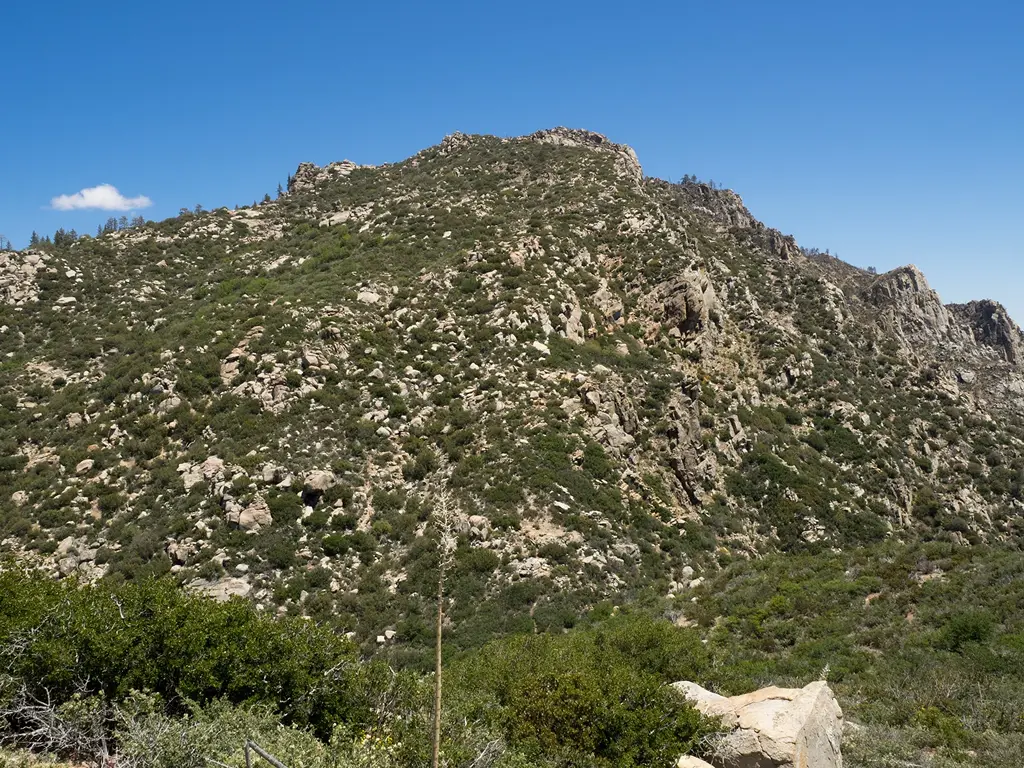
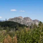
Split Mountain and Black Mountain #5, taken from Sunday Peak, photo by Valerie Norton
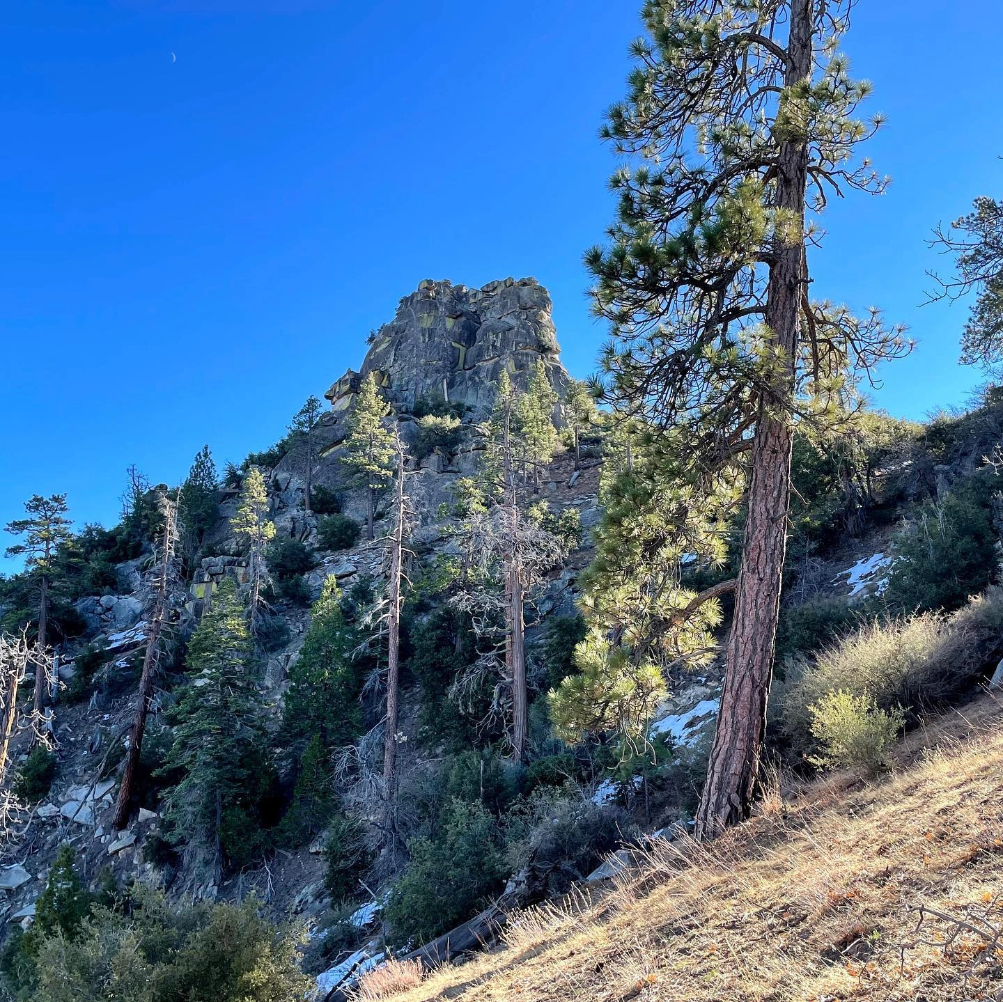
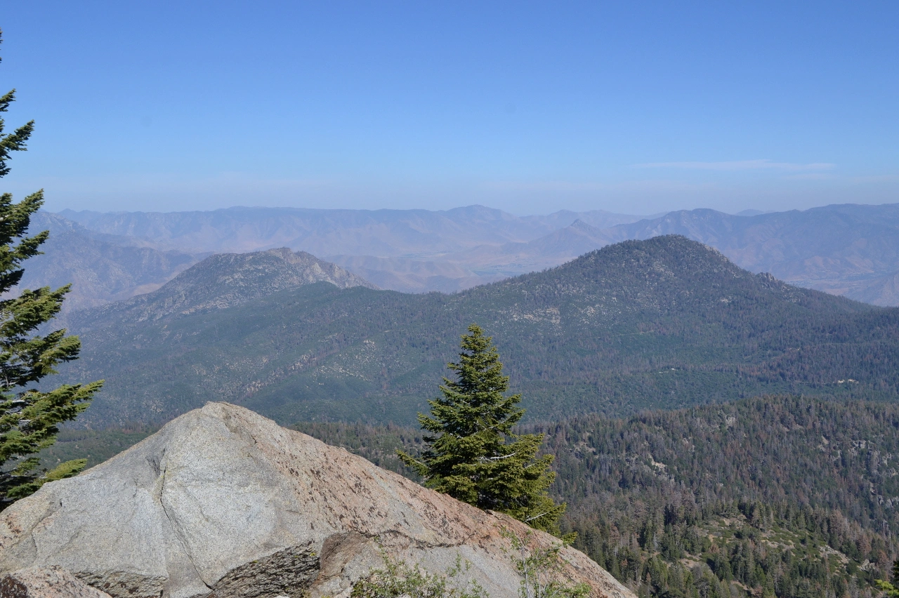
Split Mountain, photo by Kathy Wing


Peakbagger.com

Nearest ranger station

NOAA Forecast

Google Earth


