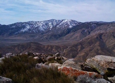
Sorrell Peak, taken from Butterbredt, photo by Mars Bonfire
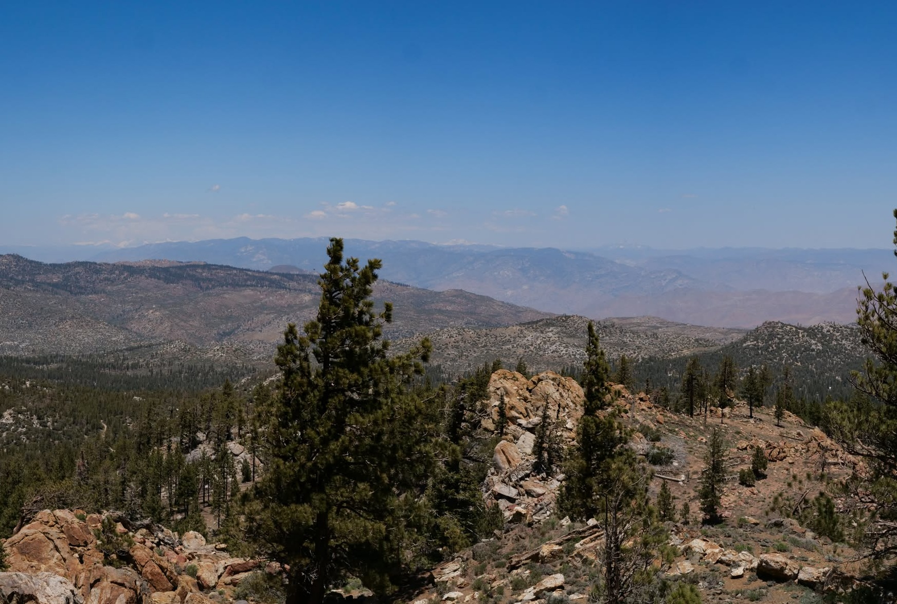
View from Sorrell Peak, photo by John Sheehe


Peakbagger.com

Nearest ranger station

NOAA Forecast

Google Earth


