Peak Name
Elevation
feet
Status
Region
Range
Nearby peaks
Location
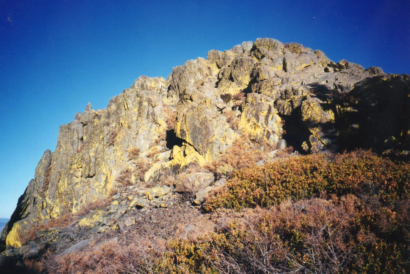
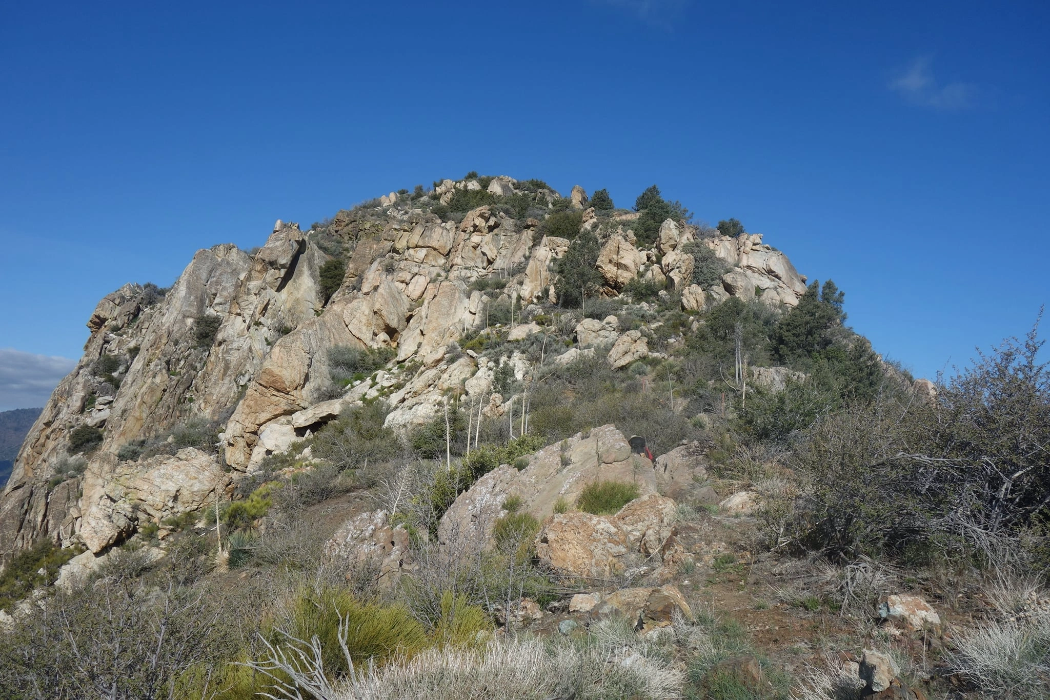
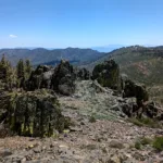
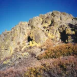
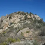
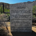
Piute Lookout gets its name for the Chemehuevi (Southern Piute) Indians who once lived there and one of the earliest USFS lookouts that was originally built in a tree house at the summit. It was added to the HPS Peak List in 1969. In 2002, the recognized summit (for purposes of HPS peakbagging) was briefly moved to nearby Piute Peak, then returned to the historical lookout site.
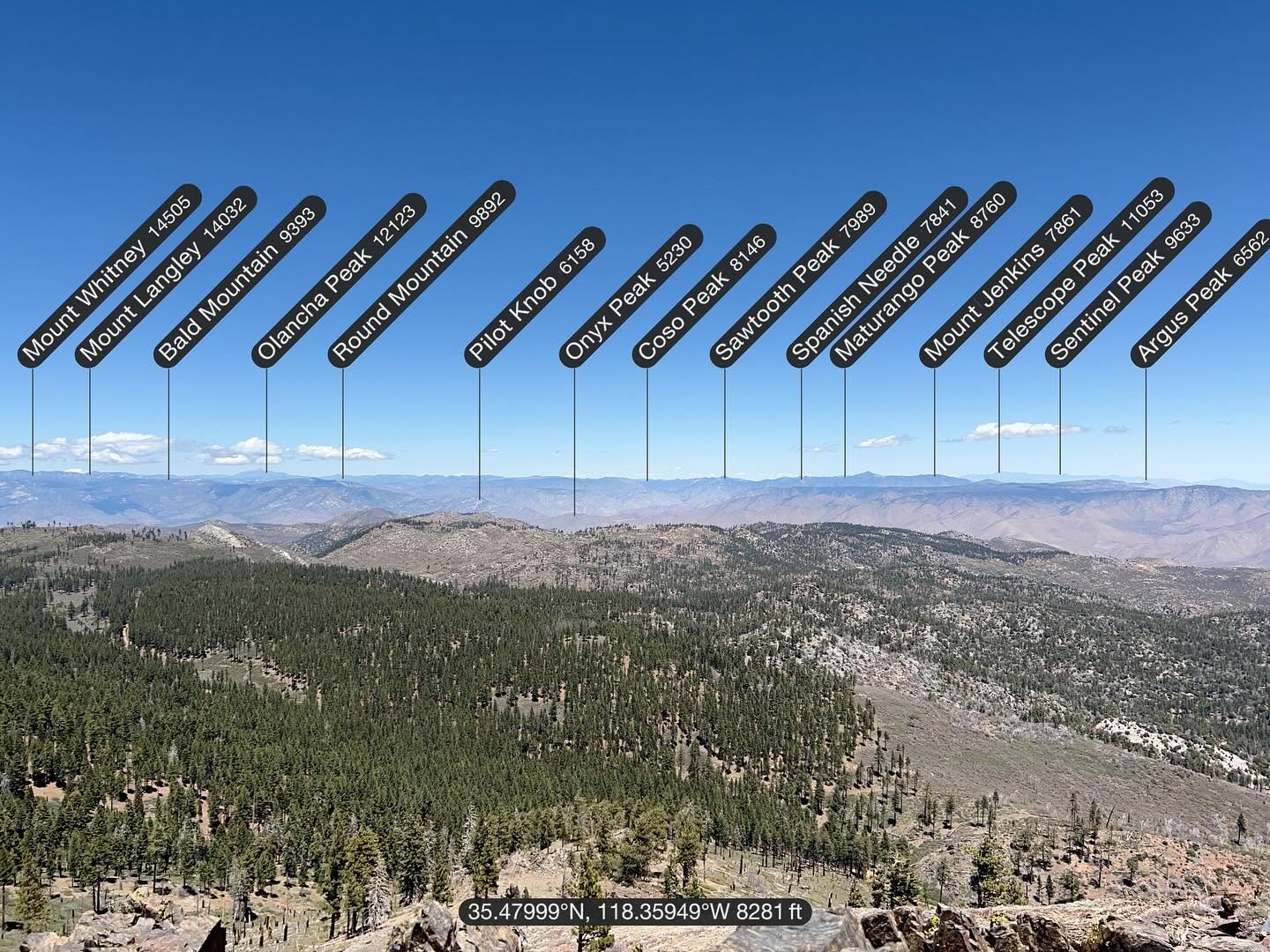
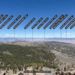
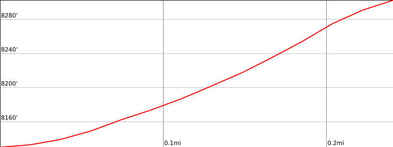
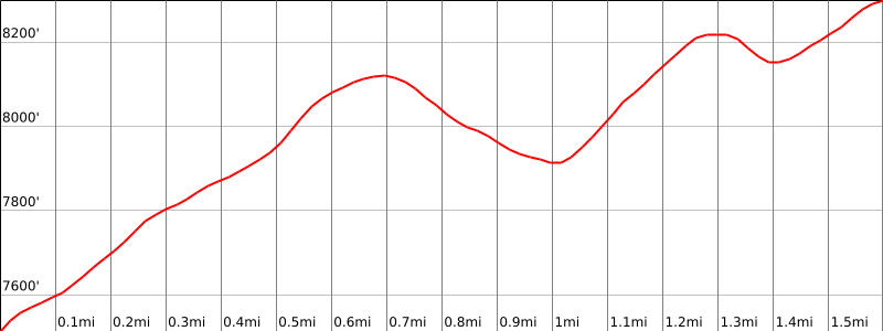
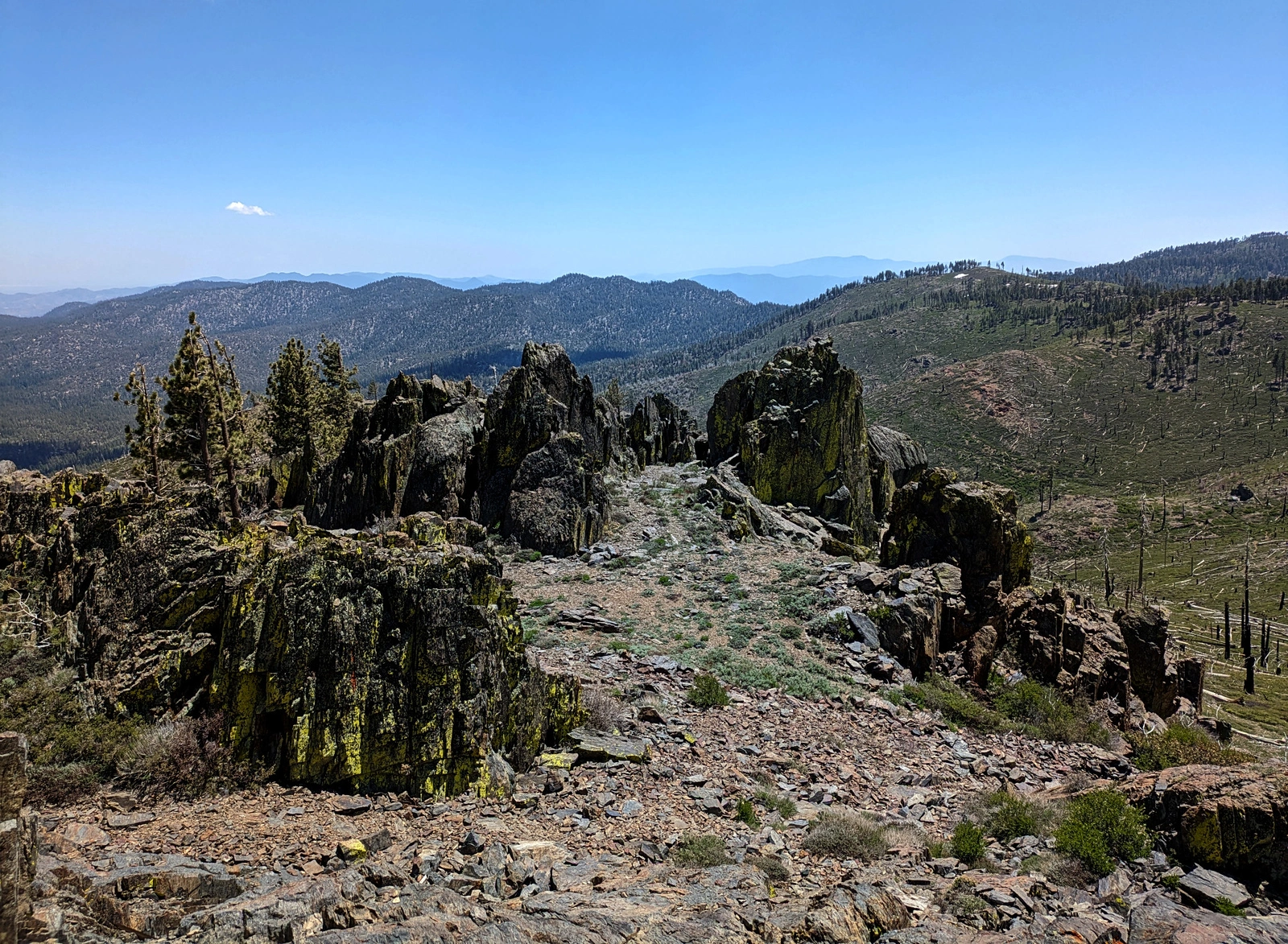
Route 1 is 0.5 miles round trip with a total of 200′ of gain on road. There are excellent views in several directions if you scramble to the high point on the summit block. Consider a short side trip to Piute Peak and Piute High Point on your way back. Piute is usually hiked in combination with Sorrell and Weldon in a very long driving day.
Maps generated from CalTopo.com, reproduced with permission
Driving route
Lake Isabella approach:
Exit SR 178 at Borel Road 3 miles before reaching the town of Lake Isabella.
Turn east, then turn left toward Bodfish at 0.2 mile, then turn right at Lake Isabella Road.
Drive about 3 miles to Bodfish.
Drive through the town of Bodfish on Lake Isabella Road (which becomes Caliente-Bodfish Road) for about 3.2 miles to dirt Saddle Spring Road (27S02) on the left at the very top of a grade. Turn left. Note your odometer and go as follows:
Drive in 5.7 miles, to where 27S02 meets the main ridge before crossing over to the south side. This is the parking spot for Bald Eagle Peak.
At 17 miles, fork to the left signed “Piute Vista / 2 miles”. Turn left on 28S17.
Reset your odometer. Drive in on 28S17 (shortly meeting and taking a major downhill fork on the right) for 2.6 miles, or as far as feasible, keeping right at forks, to a parking area where the road narrows and becomes steep. Park here. 4WD vehicles may continue a short distance to a second parking spot at the end of the drivable road.
Tehachapi approach:
Drive northwest on SR 58 from the town of Tehachapi about 15 miles to Caliente Junction (Bealville Road). Turn right.
Drive 13.5 miles to Walker Basin Road. Turn right.
Drive 9.5 miles to Piute Mountain Road. (Dirt road driving from this point to trailhead.) Turn left.
Drive about 9 miles past Saddle Springs Road (27S02) to 28S17. Turn left.
Reset your odometer. Drive in on 28S17 (shortly meeting and taking a major downhill fork on the right) for 2.6 miles, or as far as feasible, keeping right at forks, to a parking area where the road narrows and becomes steep. Park here. 4WD vehicles may continue a short distance to a second parking spot at the end of the drivable road.
Piute Mountain Road approach:
Piute Mountain Road via Jawbone Canyon and Harris Grade, 160 miles from Los Angeles. This route variation is the recommended route for all vehicles in the guidebook Exploring the Southern Sierra: West Side by J.C. Jenkins and Ruby Jenkins, 1995, and is very highly recommended for those drivers without 4WD or high clearance vehicles.
From the SR 14-SR 58 split just north of the town of Mojave, take SR 14 northeast for 20 miles to the junction with Jawbone Canyon Road.
Turn left (west) on Jawbone Canyon Road (pavement ends at 4 miles) for 18 miles on well-graded road to a junction with Kelso Valley Road (dirt) that joins from the north. Here you have a choice.
Main Route:
Ordinary vehicles should note their odometers and head north on Kelso Valley Road 7.4 miles to Piute Mountain Road (dirt).
Note your odometer, turn left onto Piute Mountain Road. At 7.4 miles you see 29S04 on your left (southeast), marked “Sorrell Peak”. This is the turnoff for Sorrell Peak.
At 9.7 miles you meet Jawbone Canyon Road coming in on your left (south). This junction may also be reached using the following directions.
Variation (saves 4 miles):
If your vehicle is sturdy with high clearance you may stay left on Jawbone Canyon Road at the junction 18 miles from the main turnoff from SR 14. Note your odometer and proceed as follows:
Jawbone Canyon Road becomes County Route 589, which then passes the parking area for Weldon Peak shortly after ascending steeply up Geringer Grade.
At 10 miles proceed straight (north) at a marked junction for Mace Meadow.
At 13.1 miles meet Piute Mountain Road. Turn left/west here and you rejoin the main driving description.
Reset your odometer. Continue northwest on Piute Mountain Road through the site of Claraville, continuing past a side junction on your right at 1.9 miles.
At 5.2miles, find a junction with 28S17 on your right (north). Turn right (north).
Reset your odometer. Drive in on 28S17 (shortly meeting and taking a major downhill fork on the right) for 2.6 miles, or as far as feasible, keeping right at forks, to a parking area where the road narrows and becomes steep. Park here. 4WD vehicles may continue a short distance to a second parking spot at the end of the drivable road.
Hiking route
From either parking area, hike in as far as possible on the road.
Pick up a use trail to the right side (east) that goes up through rocks to the summit on the old lookout foundation.
The register, when present, is located on the western side of this foundation.
Driving route
Follow driving directions for Route 1 to Piute Mountain Road.
Hiking route
Route Notes
Printable Route
Road Type
Google Maps Link to Trailhead


You must be logged in to upload images.