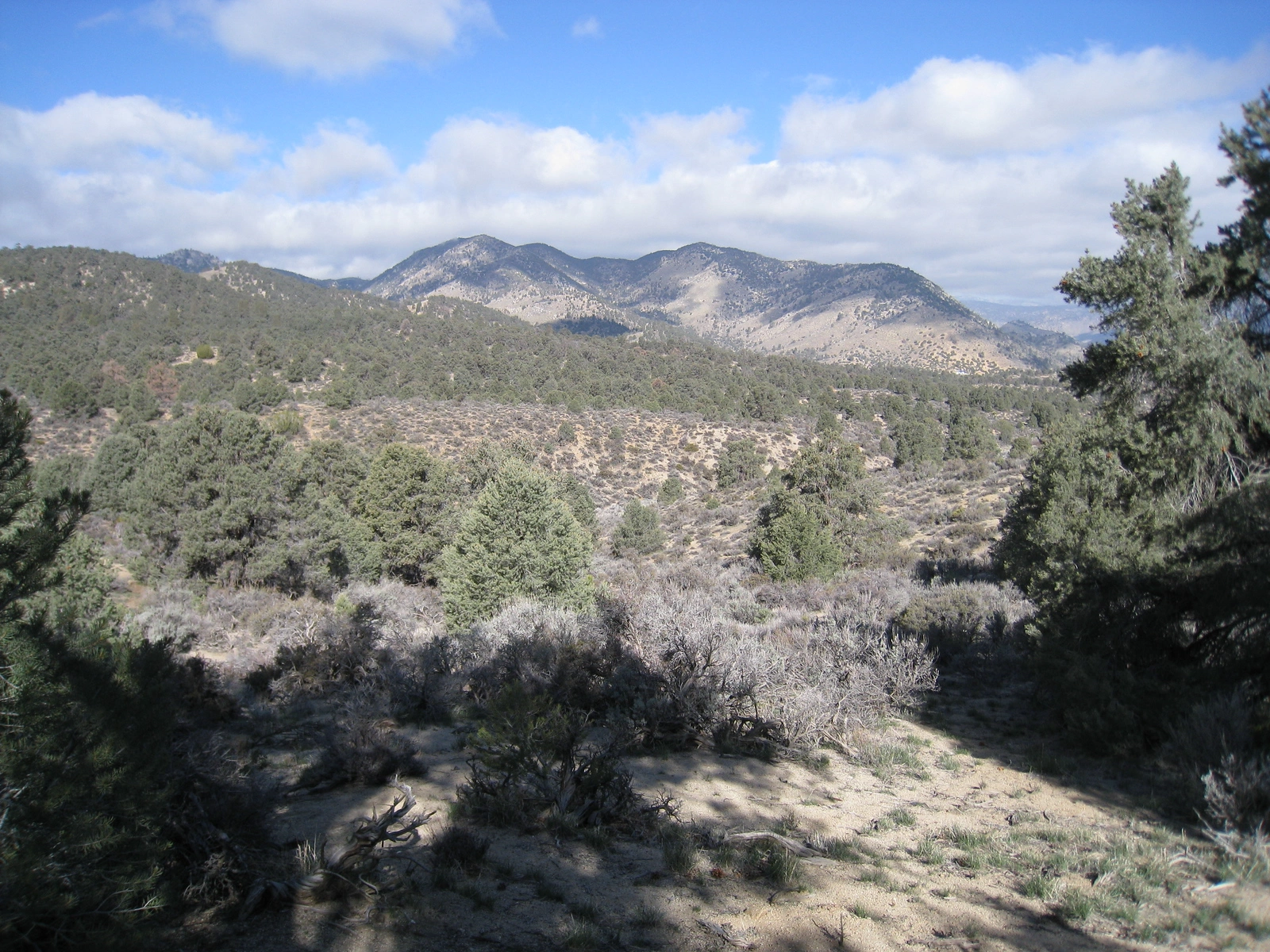
Scodie Mountain, taken from the PCT, photo by Kathy Wing
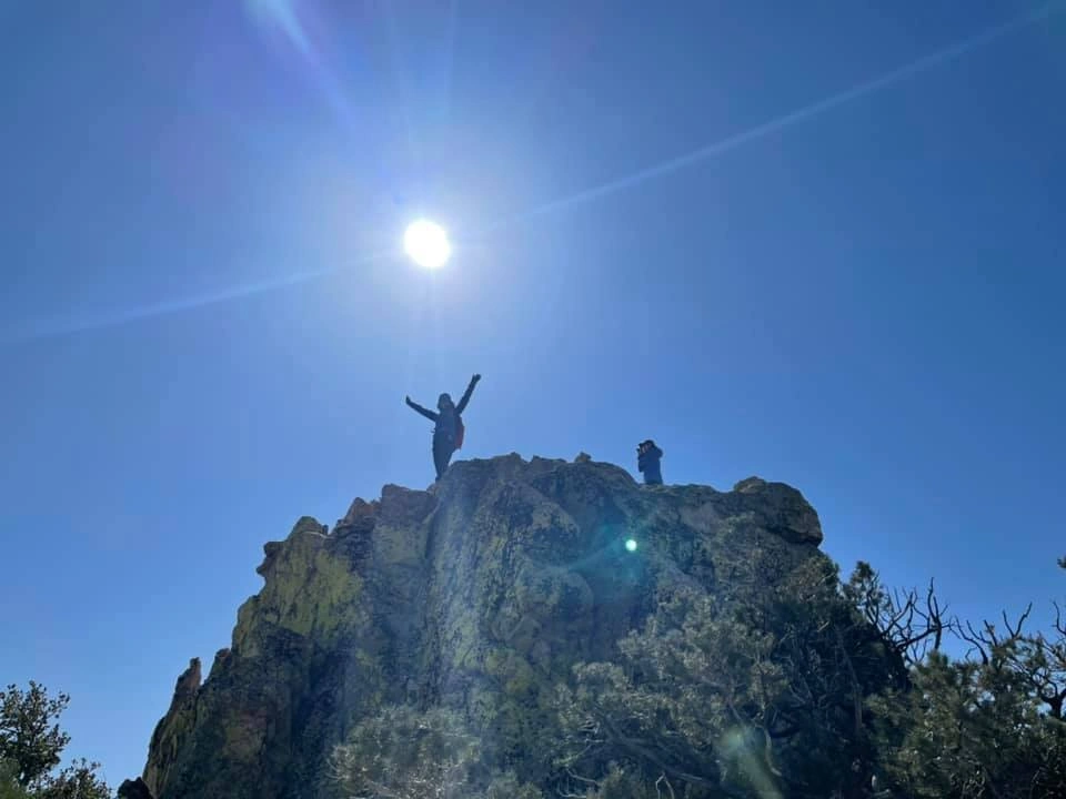
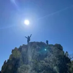
Scodie Summit, photo by Sunny Yi
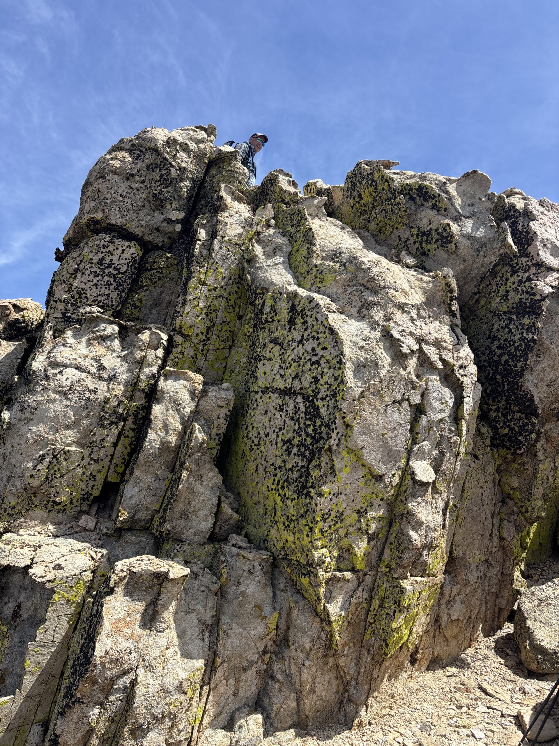
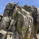
Scodie summit block, photo by Ron Campbell


Peakbagger.com

Nearest ranger station

NOAA Forecast

Google Earth


