Peak Name
Elevation
feet
Status
Region
Range
Nearby peaks
Location
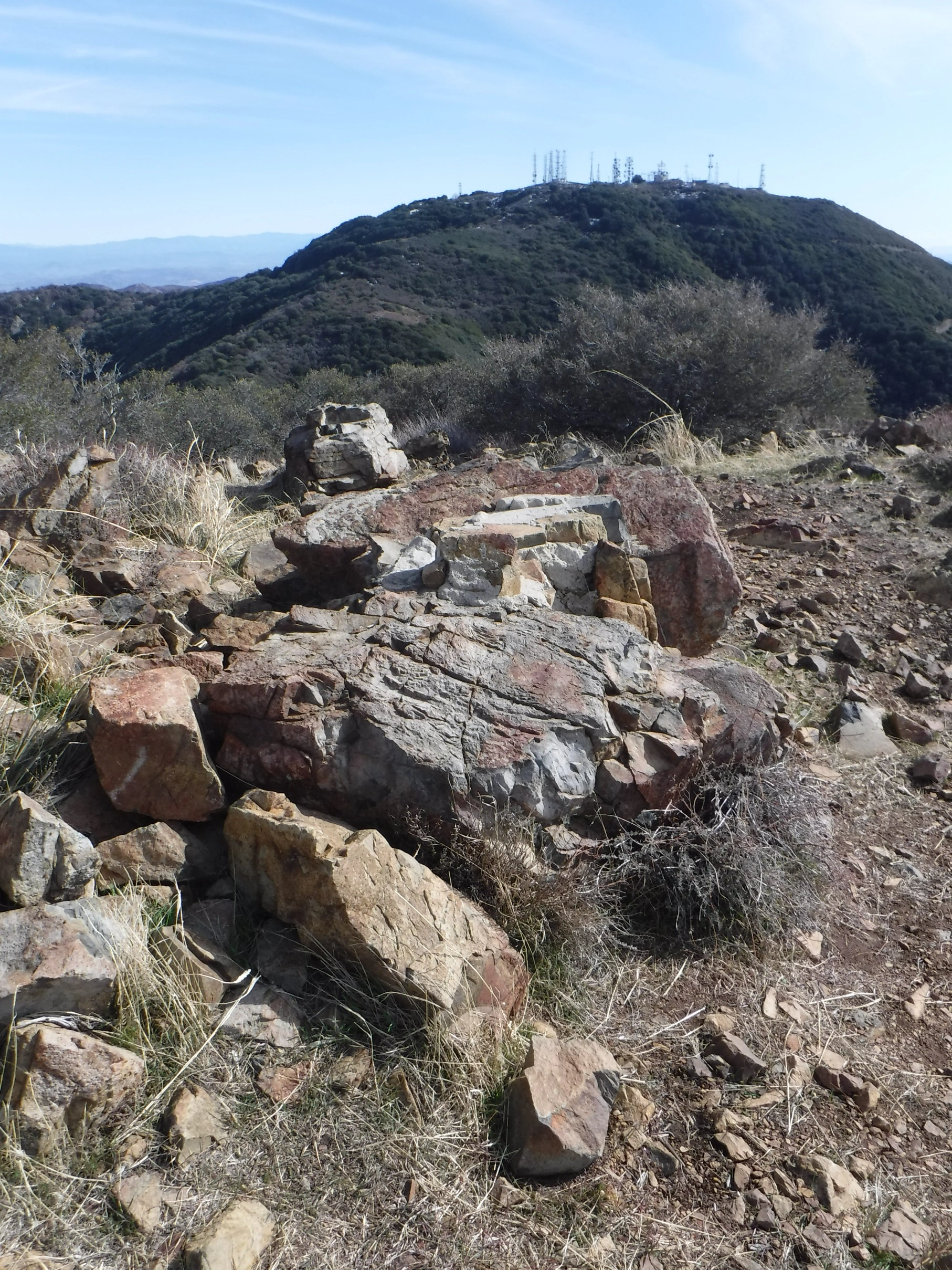
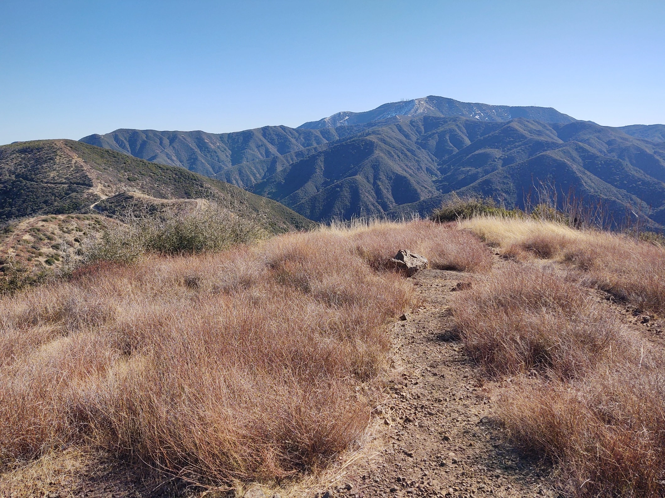
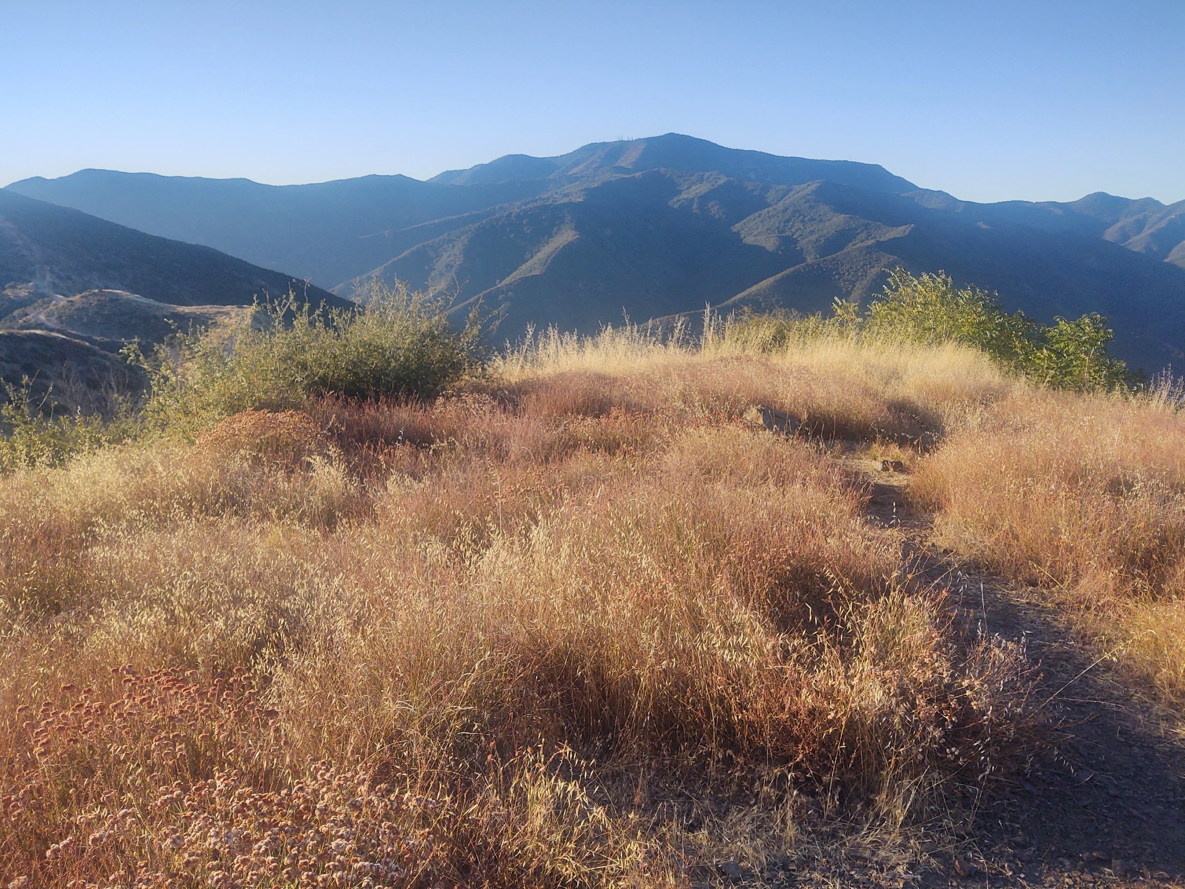
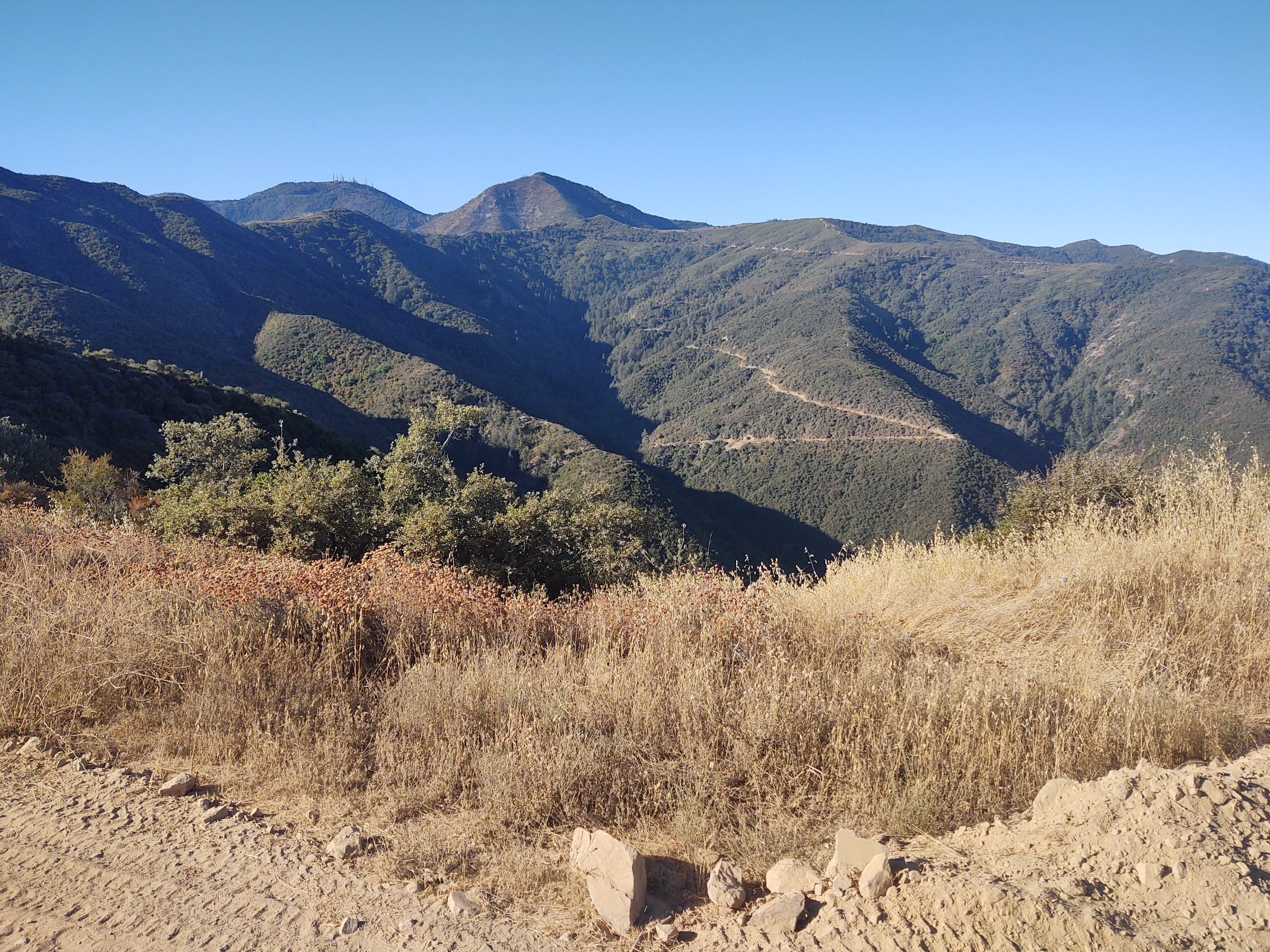
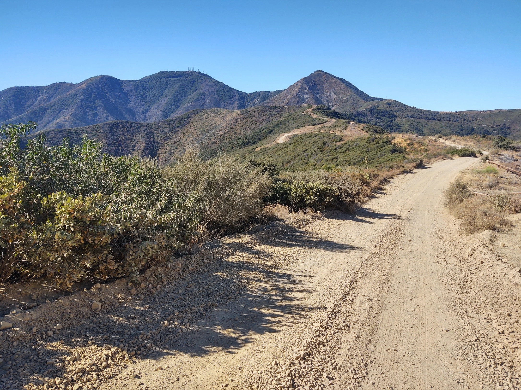
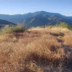
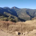
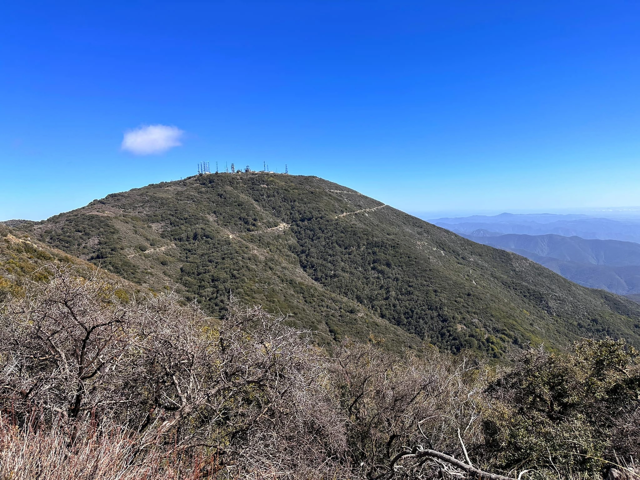
Santiago Peak and its neighbor Modjeska Peak in the Cleveland National Forest, are the only HPS peaks in Orange County. Santiago was named by the Portola expedition but has had numerous names over the years. It has lovely view of the surrounding canyons, and Orange County all the way to the ocean. The west side burned badly in the 2018 Holy Jim Fire but is regrowing. It is typically hiked in conjunction with adjacent Modjeska Peak, driving or hiking between them.
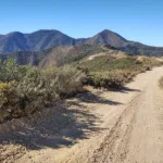
There are several routes to Santiago. Route 1 is the classic Holy Jim Trail, long and strenuous but on good trail. The upper part of the trail burnt in the fire but much of the lower section was spared. Route 2 is a drive-up that follows Bedford Motorway, which is often closed. Route 3 is a high clearance drive-up from Maple Springs Road. This is the road most likely to be open, but closes for storms and is subject to occasional washouts. Check the Forest Service web site for current road conditions or call before visiting.
Maps generated from CalTopo.com, reproduced with permission
Driving route
From I-5, exit on El Toro Road and go north on El Toro Road. Just after Cook’s Corner Restaurant the road forks with Santiago Canyon Road and Live Oak Canyon Road.
At the fork, go right on Live Oak Canyon Road (S19).
Follow Live Oak Canyon Road until it makes a 120° left turn near the entrance of the O’Neill Regional Park. At this point the road becomes Trabuco Canyon Road.
Drive 4.4 miles (just past Rose Canyon Road) to where you cross a large wash. After crossing the wash, take an immediate left turn on a dirt road. This is Trabuco Creek Road.
Drive east 4.6 miles to a wide parking area with a road forking off uphill to the left (north). Park here.
Hiking route
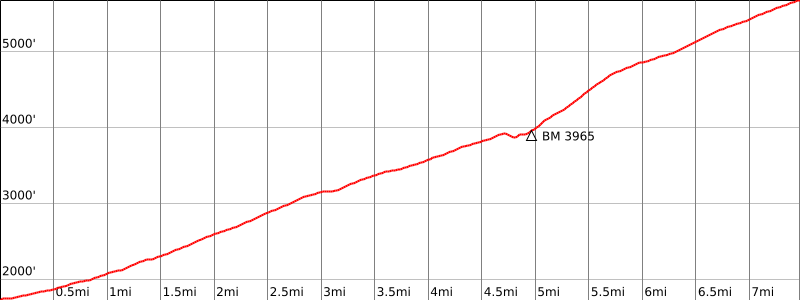
From the parking area (BM 1746), hike north up the left-road fork, which passes a number of houses and ends at a gate in 0.5 mile.
Continue on the Holy Jim Trail to where the trail meets a road at Bear Springs (BM 3965). Turn right to the spring and hike up the trail that begins behind the spring to where it meets the road close to the summit.
Turn right on the road then switchback left and follow the road to the summit.
Note: High-clearance vehicle strongly recommended.
Driving route
On I-15 south of Corona, exit at Weirick Road, which is about 6 miles south of the I-15 and SR 91 interchange.
Turn right at the end of the off-ramp and drive about 50′ to Knabe Road where you turn left.
You are now on a frontage road running south paralleling I-15. Proceed on this frontage road for about 1/2 mile. Look on your right for a brick and iron fence enclosing many trucks (Corona Clay Company). Just north of the fence, there is a cluster of signs and a dirt road. One of the signs says “Bedford Motorway-Private Road” and another says Maely Ranch.
Turn right and reset your odometer here.
At 2.1 miles, you pass a gate and a sign saying 4S03 (Bedford Road).
At 6.1 miles, go left on Main Divide Road (3S04).
At 9.7 miles, junction with Maple Springs Road (5S04). Keep left staying on Main Divide Road.
At 11.3 miles, you pass the turnoff for Modjeska Peak.
At 14.3 miles, you reach the parking area for Santiago Peak. See Route 1.
Hiking route
Hike past the gate for 0.1 mile to the summit, which is on the left of the site of a torn-down lookout tower.
Route Notes
Driving route
From the intersection of SR 55 (Costa Mesa Freeway) and Katella Avenue in the City of Orange, go east on Katella and then southeast on Santiago Canyon Road (S18) to Silverado Canyon Road. Turn left.
Drive east 5.7 miles to the end of pavement at a Forest Service gate. If the gate is open, pass through the gate, note your odometer, and go as follows:
At 6.5 miles, fork. Go right.
At 7.4 miles, fork. Go left.
At 7.5 miles, fork. Go right.
At 9.1 miles, fork on the left. This is the turnoff for Modjeska Peak. Keep straight.
At 12.0 miles, locked gate outside a radio installation. Park here.
Hiking route
Hike past the gate for 0.1 mile to the summit, which is on the left of the site of a torn-down lookout tower.
Additional Peak Information
Historical note: The name of the apostle and patron of the Spains, Santiago (Saint James) was frequently used in Spanish times for place names. Santiago and Modjeska combined, is known locally as “Saddleback”. This peak was labeled Santiago Peak when the Geological Survey mapped the Corona Quadrangle in 1894. They also changed the name “Cussing Jim” to “Holy Jim”. Santiago Peak is the highest point in Orange County. It is the high point of the Santa Ana mountain range.
Special conditions: Silverado Canyon Road and Bedford Road are seasonal, with fire, weather or other closings. Further, Silverado is closed at special times of the year to protect an endangered frog. Check with the Trabuco District Ranger Station, Cleveland National Forest at (951) 736-1811.


You must be logged in to upload images.