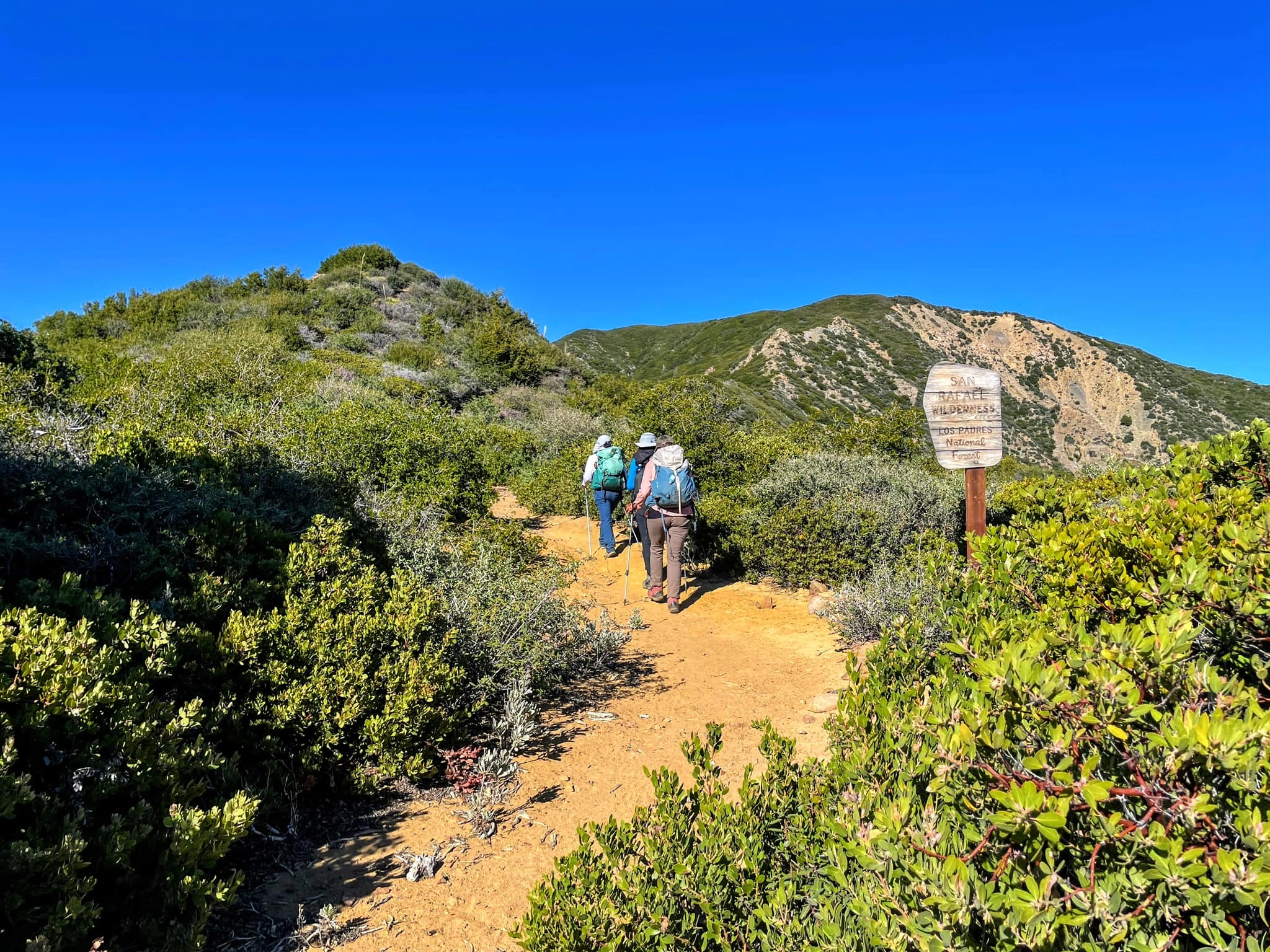
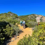
San Rafael Mountain, photo by Sunny Yi
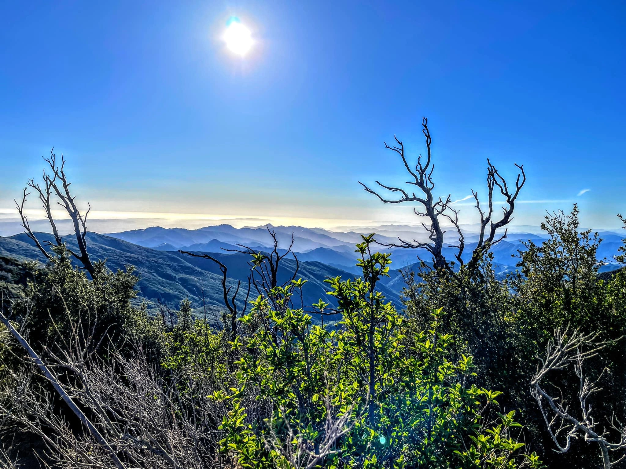
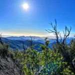
View from the summit of San Rafael, photo by Sunny Yi
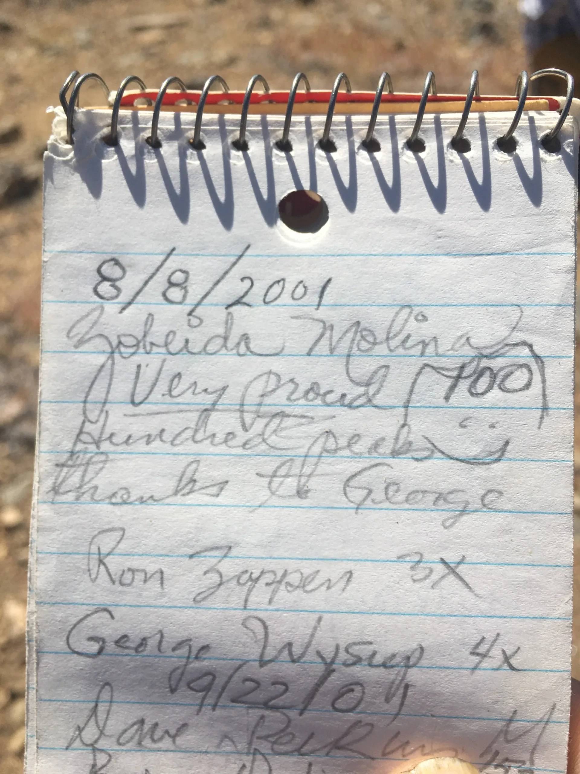
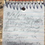
Log Book, taken from San Rafael, photo by Jim Hagar
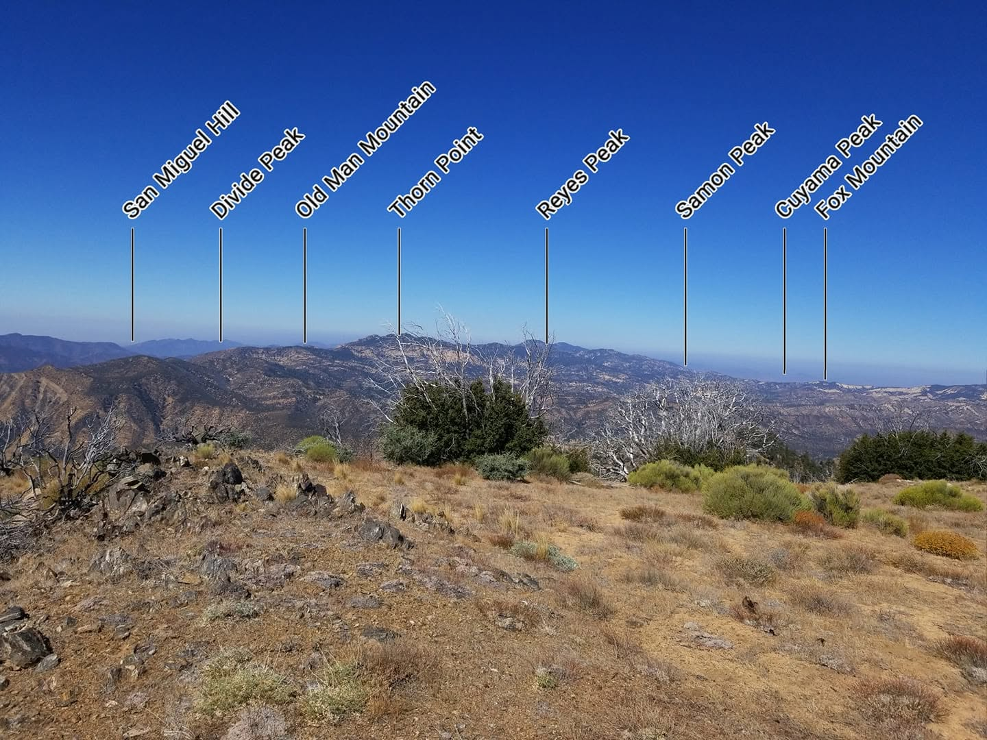
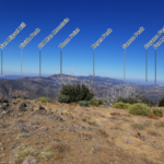
Peak finder view from San Rafael Mountain, photo by Coby King


Peakbagger.com

Nearest ranger station

NOAA Forecast

Google Earth


