Peak Name
Elevation
feet
Status
Region
Range
Nearby peaks
Location
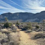
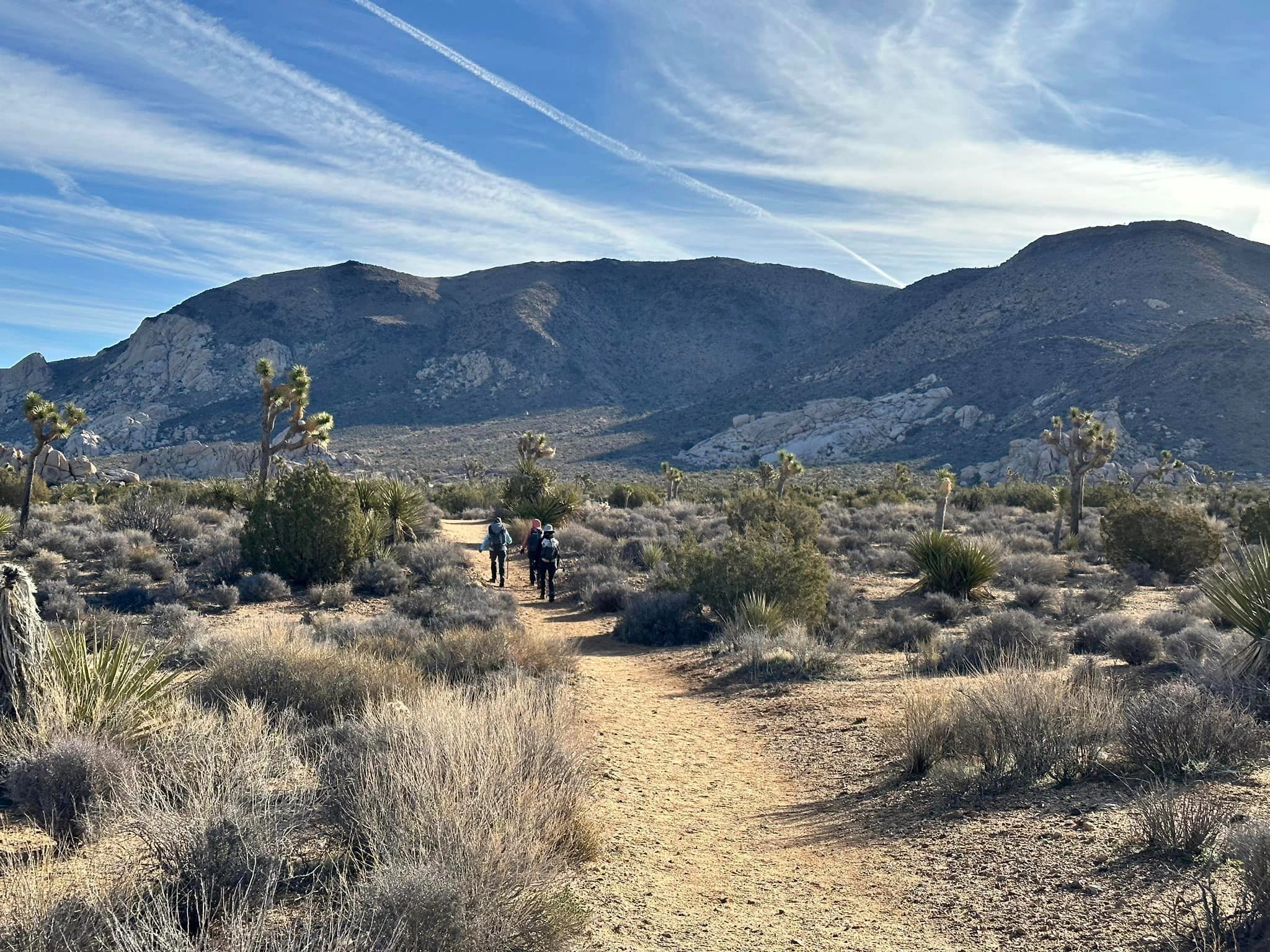
Ryan Mountain is a prominent peak that calls out to you as you drive on Park Boulevard in Joshua Tree National Park. It is named for the Ryan brothers who started the Lost Horse Mine and whose ranch, a short walk from Ryan campground, is worth a visit and through which Route 3 passes.
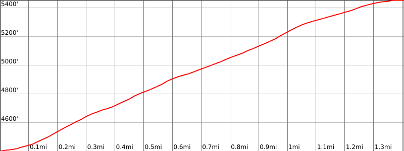
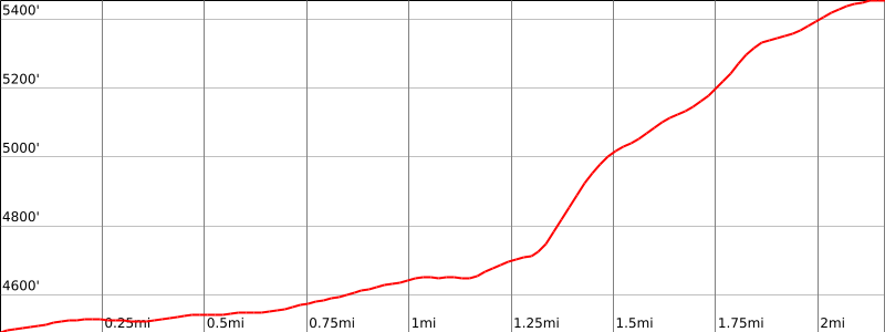
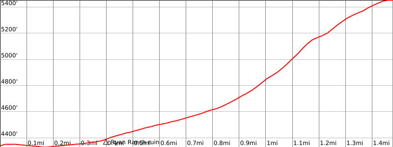
Route 1 is a moderate and very popular trail hike that ascends large stone steps before wandering across the summit plateau to the peak, which has excellent views in all directions. Route 2 starts near Sheep Pass campground, heading south then west to ascend a ridge to a saddle near the summit. Route 3 starts from Ryan campground, passes the ruins of Ryan Ranch with its old adobe buildings, then ascends a steep gully to a saddle south of the peak.
Maps generated from CalTopo.com, reproduced with permission
Driving route
Take I-10 east past Banning to the intersection with SR 62.
Go north on SR 62 to the Park Road in the town of Joshua Tree with a sign “Joshua Tree National Park”. Turn right.
Drive 16 miles on this road to the intersection with the Keys View Road. Keep left.
Continue 2.0 miles farther to a large parking lot on the right. Park here.
Hiking route
From the parking area (4391′), hike south on the trail that starts at a sign “Ryan Mtn.” about 300 yards to a junction.
Turn right and hike up the Ryan Mountain Trail to the summit.
National Park Service entrance fee is required.
Driving route
From the Ryan Mountain Trail parking lot (see Route 1), continue 0.6 mile further east to the entrance of Sheep Pass Group Campground. Park here on the north side of the road in the pullout. Do not park in the campground unless you have reservations.
Hiking route
From the parking area (4489′), hike into the campground along the campground road to the site furthest east.
Turn right (southeast), hike through this campsite and onto a well defined trail that goes generally south.
The trail splits at 0.7 mile from your start. Take the western fork and continue until the trail ends.
From this point, hike 0.6 mile at a bearing of 220° aiming for the ridge that runs east to west and ends up 0.25 mile north of the peak (at the letter “O” in the word Mountain on the HPS topo map).
Ascend this ridge.
The Ryan Mountain Trail crosses the ridge near its top. Turn south (left) on the Ryan Mountain Trail and hike 0.25 mile to the top.
Route Notes
National Park Service entrance fee is required.
Driving route
Take I-10 east past Banning to the intersection with SR 62.
Go north on SR 62 to the Park Blvd in the town of Joshua Tree with a sign “Joshua Tree National Park”. Turn right.
Drive 15.8 miles on this road to the intersection with the Keys View Road. Keep straight.
Continue 0.5 mile to the Ryan Mountain Campground Road.
Turn right and go 0.5 mile to the campground and park at the day parking spot across from site #16. There is room for about 3-4 cars.
Hiking route
From the campground follow the trail about 0.3 mile to the old Ryan Ranch ruins.
From the ruins, you will see a gully approximately northeast of the ruins. Cross-country 0.7 mile to the mouth of the gully.
Hike up the gully in southeast direction for about ¼ mile to a saddle.
At the saddle, turn left (north) and hike ¼ mile to the summit. Be sure to visit the Ryan Ranch along your way to see the ruins of old adobe houses and ranch equipment.
National Park Service entrance fee is required.
Additional Peak Information
Notes: It is possible to hike from the top of Ryan Mountain to Lost Horse Mountain. See the Lost Horse Mountain guide for details.


You must be logged in to upload images.