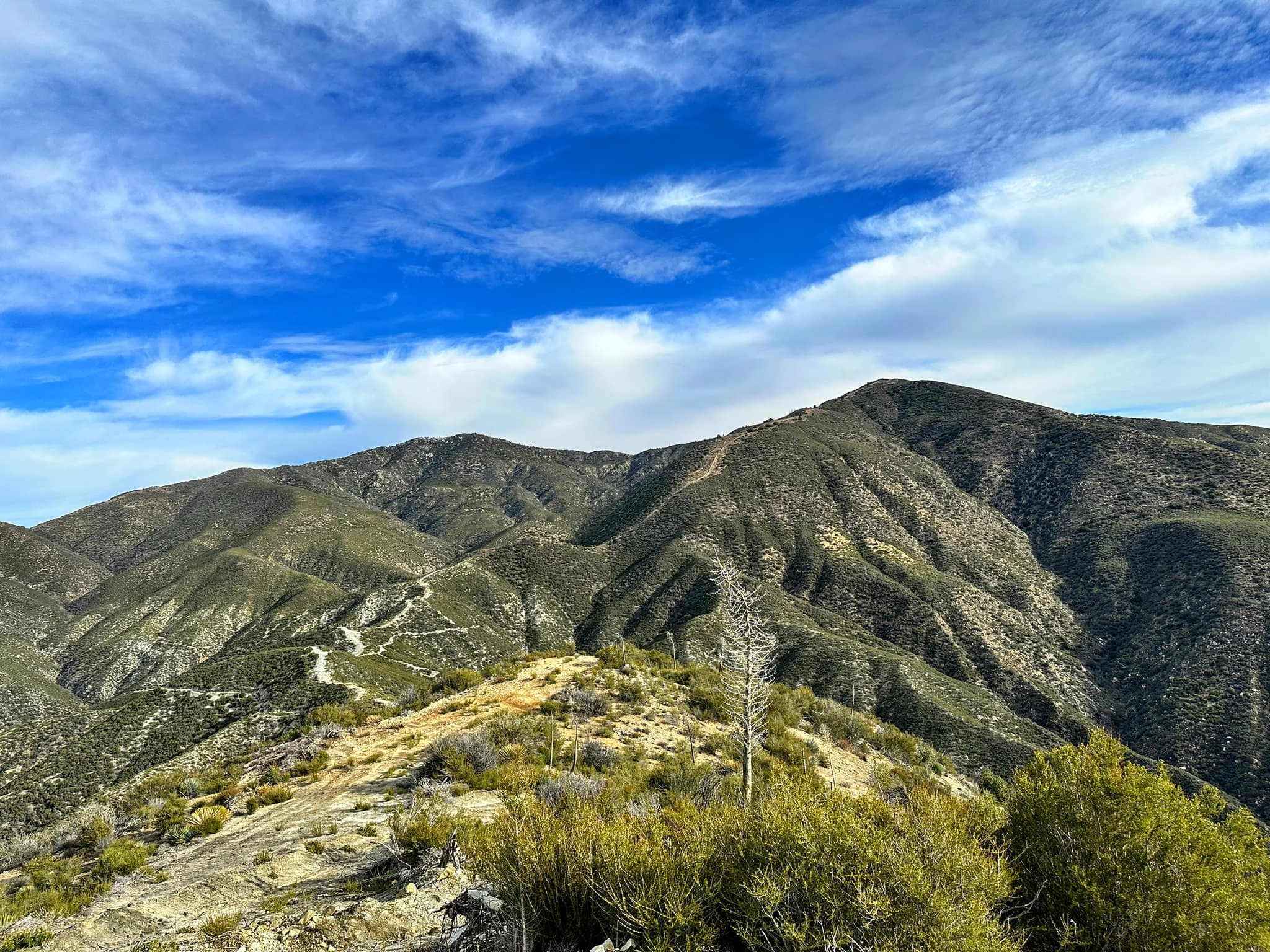
Round Top and Granite #1, taken from Iron Mountain #3, photo by Sunny Yi
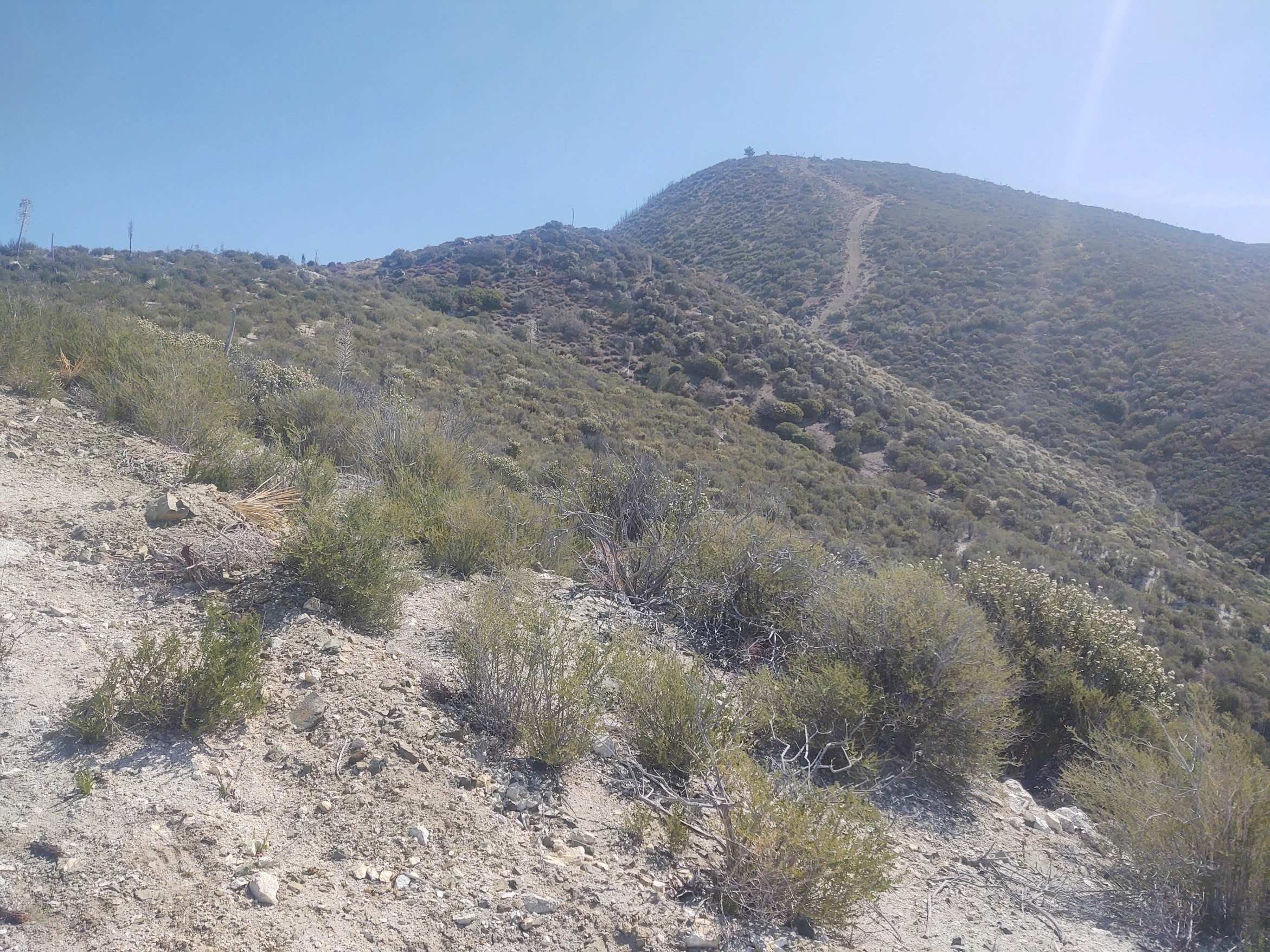
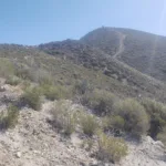
Round Top, photo by Steve Russell
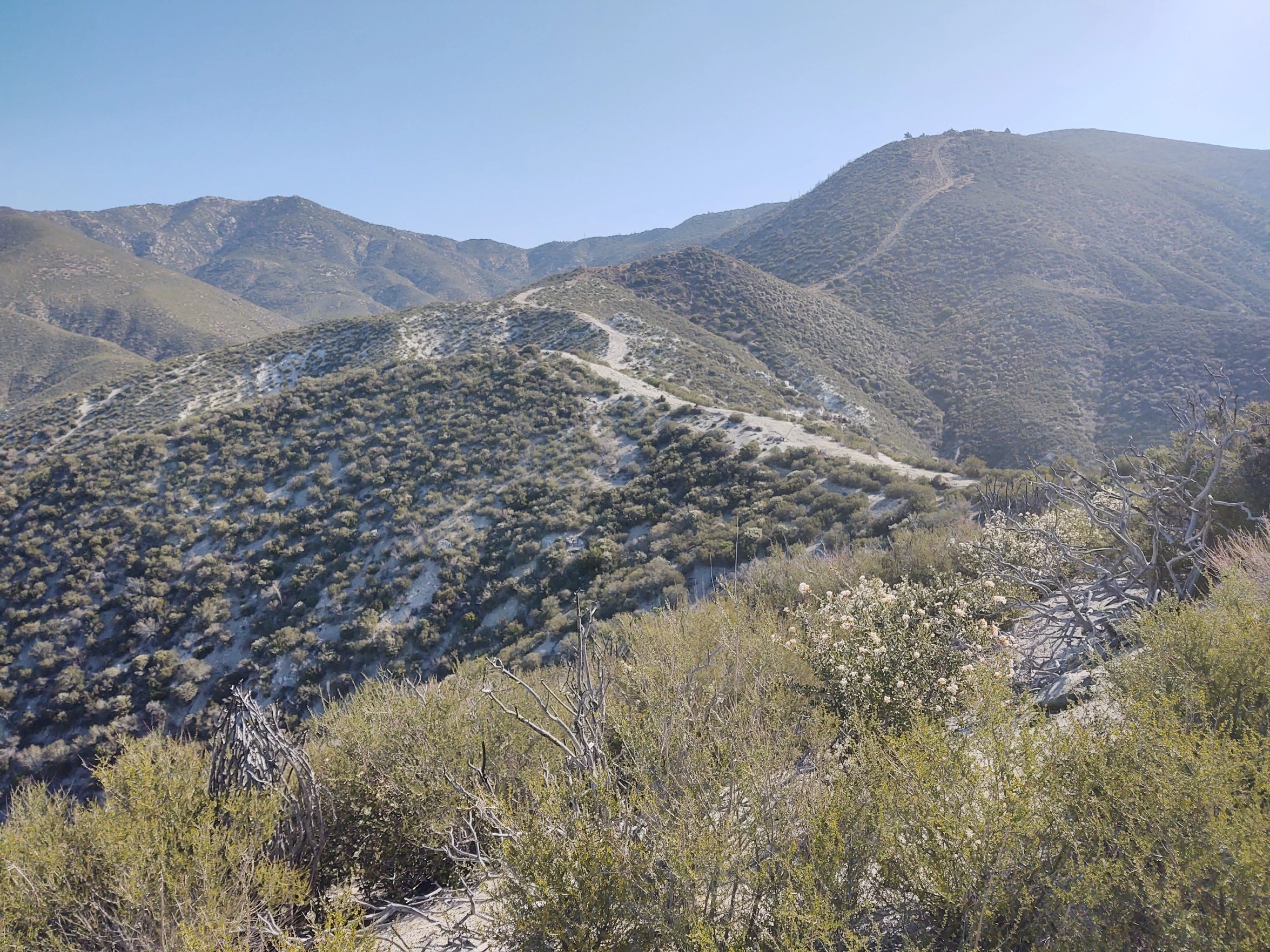
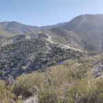
Round Top, photo by Steve Russell
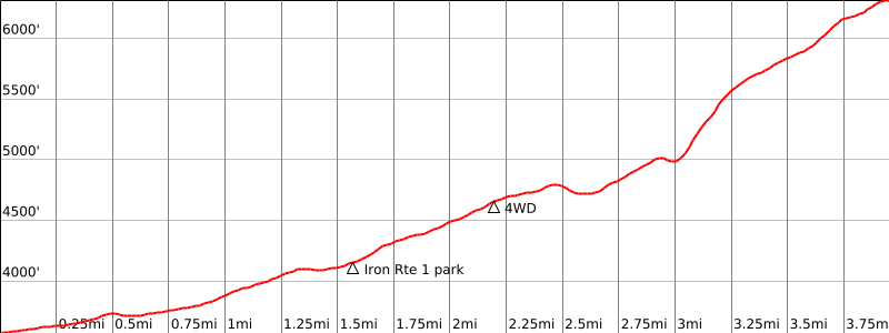


Peakbagger.com

Nearest ranger station

NOAA Forecast

Google Earth


