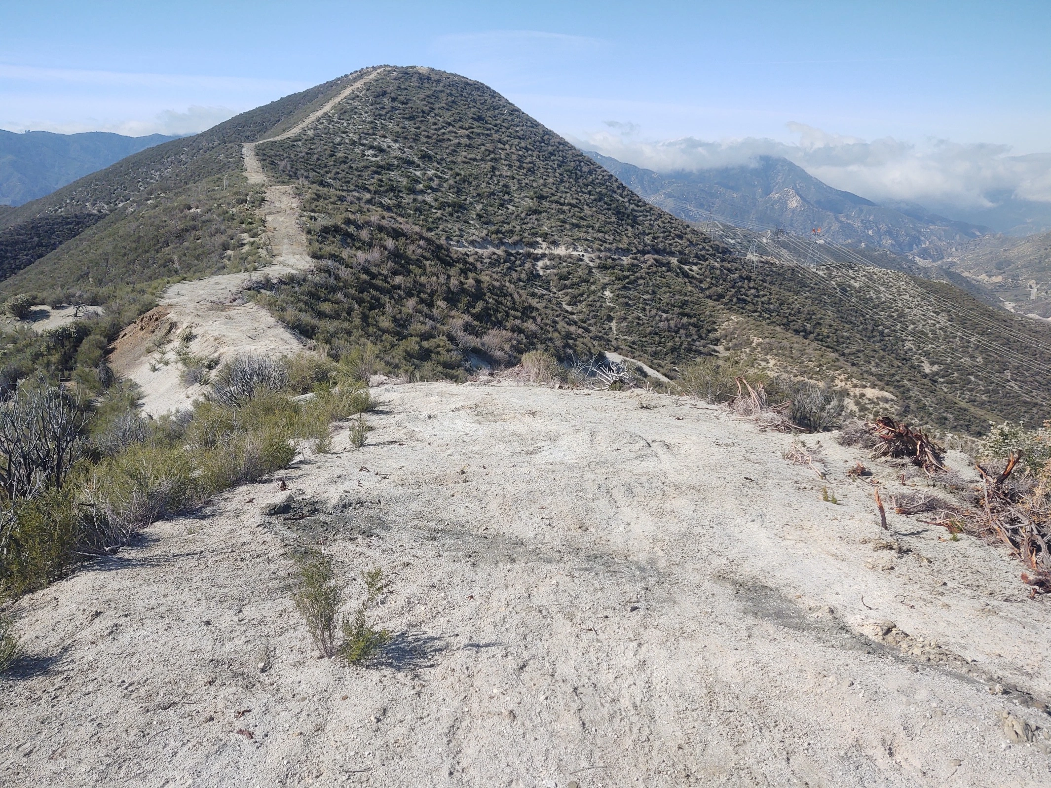
Iron Mountain #3, photo by Steve Russell
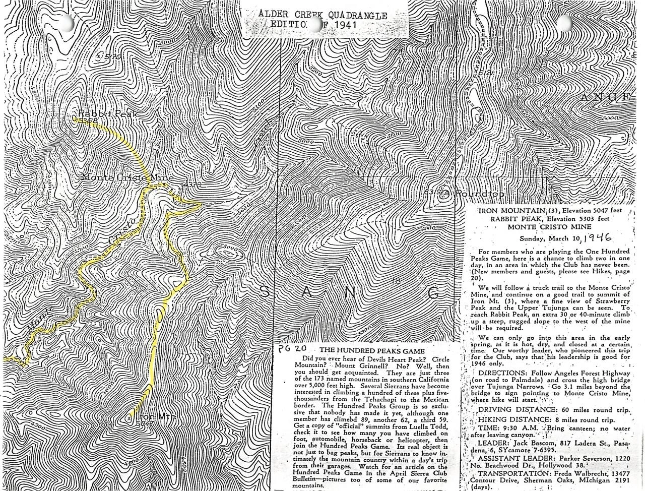
Earliest HPS peak guide for Iron Mountain #3 written by Weldon Heald, 1946, photo by Collection of John Robinson


Peakbagger.com

Nearest ranger station

NOAA Forecast

Google Earth


