Palomar Mountain

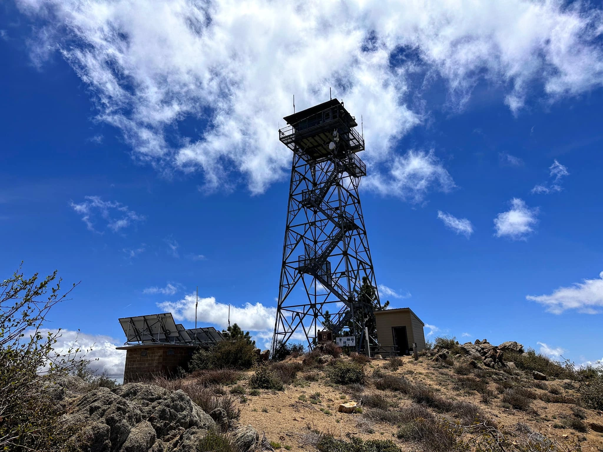
Palomar Lookout, Photo by Sunny Yi.

Peak Name

Palomar Mountain
31D

Elevation

6140

 feet

Status

active

Region

San Diego County North Of Hwy 78

Range

San Diego Area Ranges

Nearby peaks

Location

33.363361,-116.83635

Description

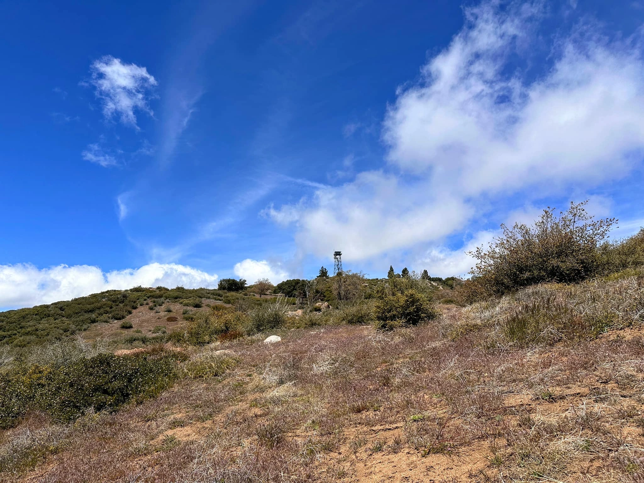
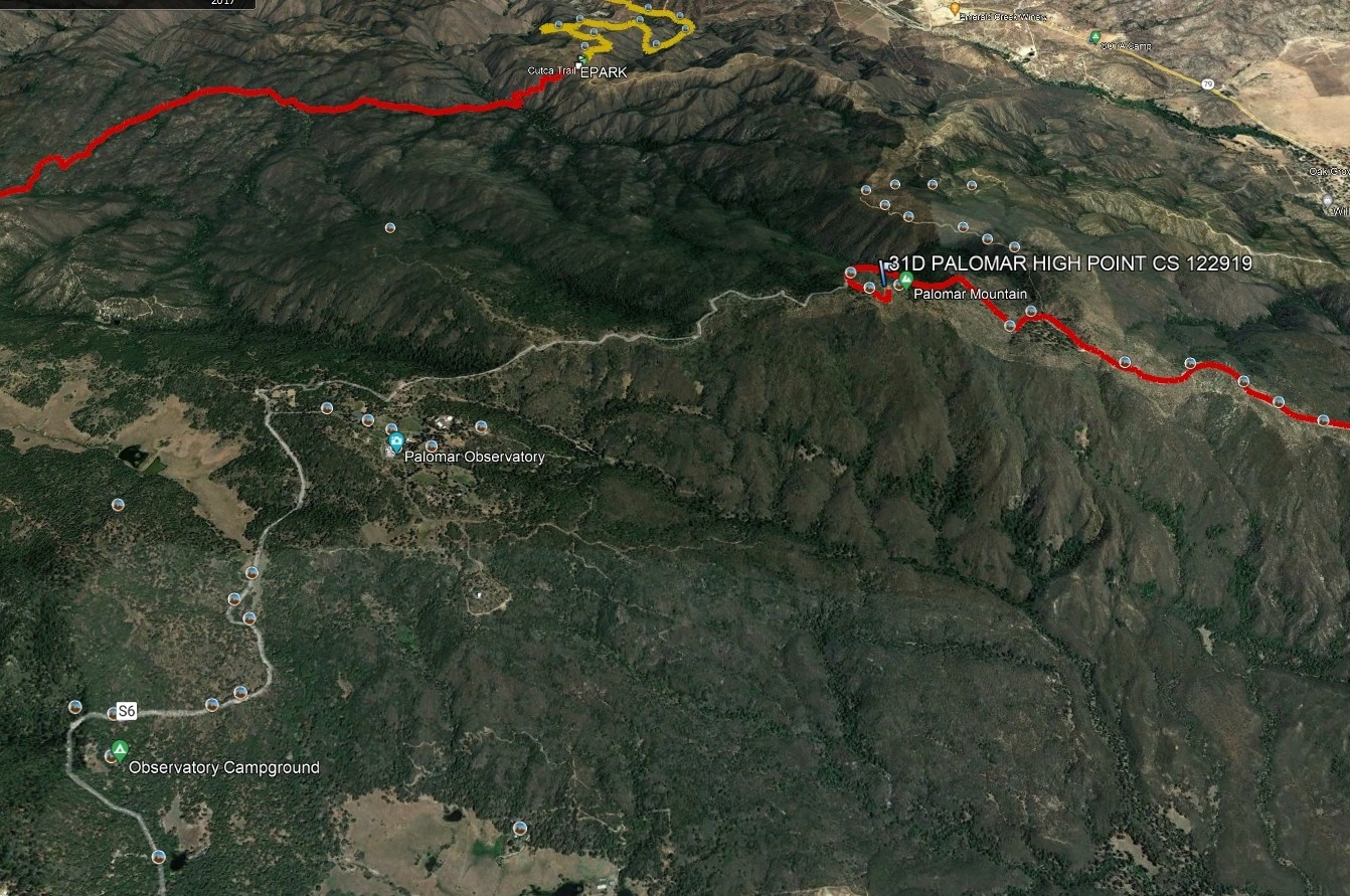
Palomar Mountain (6140′) might not offer exciting routes to the summit but makes up for it with historical and scientific impact that is unique to the HPS list. The peak sits in the state park that bears its name and is the highest point in the park, making it a perfect place for a both a historical fire lookout and an observatory. The observatory held the record for world’s largest telescope from 1949-1992 and currently has four large telescopes in operation for scientific research. Also, although the peak is nearly a drive-up, both HPS routes still add excitement: one route has over 20 hairpin turns in only 7 miles!

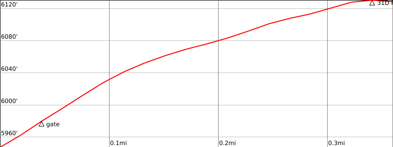
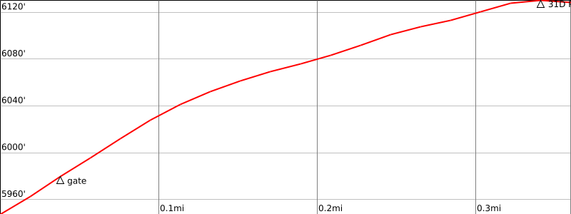
HPS Route 1 follows a dirt road (Palomar Divide Road) from SR 79 for roughly 13 miles to a gate. From the parking area at this point, the peak is gentle 200′ and half a mile on foot. HPS Route 2 comes from the other direction, using Palomar Divide Truck Trail to reach the “High Point” gate and parking area. The road is a bit rougher than in Route 1 but still passable by high clearance vehicles. This route also has a gentle 200′ and half mile walk to the summit. Route 2 has many gates and seasonal closures, so check status with the park prior to your adventure.

Maps generated from CalTopo.com, reproduced with permission

Route 1
Elevation Gain
200′
Navigation Difficulty
Easy
Distance
1 mile round trip
Estimated time
1/2 hour
Route Rating
Drive-up
Leader Rating Required
“O”, normal conditions

Driving route

Take I-15 south to Temecula.
Take the South SR 79 exit. This is the second of two SR 79 exits. It says 79 South. Please make sure you have enough gas. There are plenty of gas stations along SR 79 for the next 2 miles or so.
Go east on SR 79 to its intersection with SR 371 in Aguanga. Reset your odometer.
Continue southeast on SR 79 for 13.4 miles to dirt road 9S07 on the right. Reset your odometer and turn right.
At 11.4 miles, a fork. Go right (though left road rejoins shortly).
At 11.6 miles, an intersection with a plethora of signs. This is the junction of 9S07 and 9S09. Bear left on 9S07, the Palomar Divide Road.
At 12.1, fork. Go left.
At 12.6, fork and gate. The gate is often closed at this point, and the hiking statistics above reflect that closure. In your car (if you can) or afoot, go left and continue up to the summit, 13.1 miles.

Hiking route

None.

Route Notes

Notes: Route 1 is a better road for 2WD vehicles and is not closed as often.

Printable Route

Road Type

Dirt

Google Maps Link to Trailhead 

Route 2
Elevation Gain
200′
Navigation Difficulty
Easy
Distance
1 mile round trip
Estimated time
1/2 hour
Route Rating
Drive-up (high clearance required)
Leader Rating Required
“O”, normal conditions

Driving route

Take I-15 south to Temecula.
Take the South SR 79 exit. This is the second of two SR 79 exits. It says 79 South. Please make sure you have enough gas. There are plenty of gas stations along SR 79 for the next 2 miles or so.
Go east on SR 79 to its intersection with SR 371 in Aguanga. Reset your odometer.
Continue southeast on SR 79 for 0.3 mile to the Palomar Divide Truck Trail on the right. There is now a sign that says Rancho California RV Resort. Turn right. Note your odometer and go as follows:
At 0.4 mile, fork. Go left.
At 1.0 mile, fork. Go left.
At 3.1 miles, seasonal gate.
At 5.4 miles, saddle. This is the Cutca Valley trailhead and the parking area for Route 1 to Eagle Crag.
At 7.1 miles, fork. Go left.
At 7.8 miles, fork. Go right.
At 11.4 miles, fork. Go right.
At 11.6 miles, fork. Go left.
At 12.1 miles, fork. Go left.
At 12.6 miles, fork with a sign “High Point”. There may be a locked gate here. Hiking statistics above assume the gate is locked. In your car (if you can), or on foot, go left.
At 13.2 miles, a lookout tower. This is the summit.

Hiking route

None.

Route Notes

Notes: The gate at mile 3.1 on Route 2 may be locked. To determine its status, check with the Oak Grove Ranger Station by calling (951) 767-9144.

Printable Route

Road Type

Dirt

Google Maps Link to Trailhead 

Additional Peak Information

Note: Route 1 is a better road for 2WD vehicles and is not closed as often.
Special conditions: There is no public access to the Palomar Observatory area.

Nearby Peaks

Backus Peak
Owens Peak
Black Mountain #5
Morris Peak

External Links

mountain 1

Peakbagger.com

Click Here

ranger-tower 1

Nearest ranger station

Click Here

g311

NOAA Forecast

Click Here

worldwide 1

Google Earth

Click Here

Photo Gallery