Ontario Peak

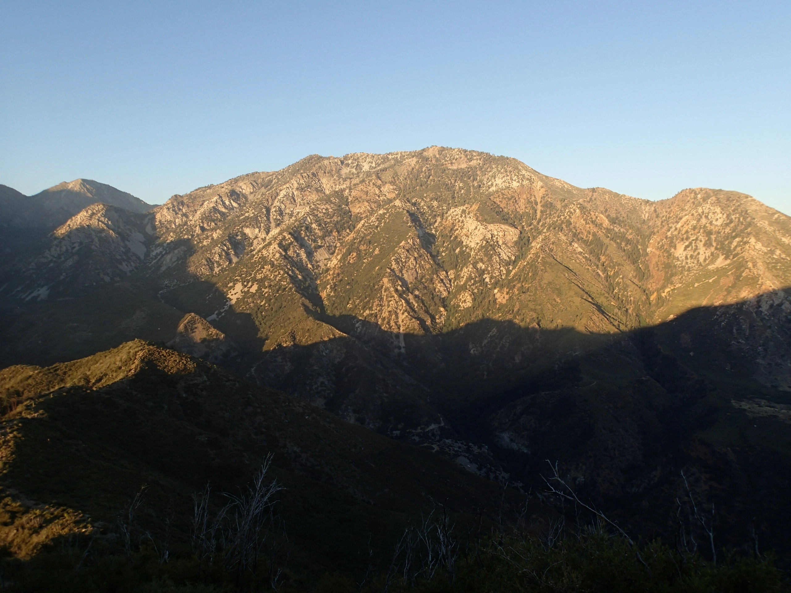
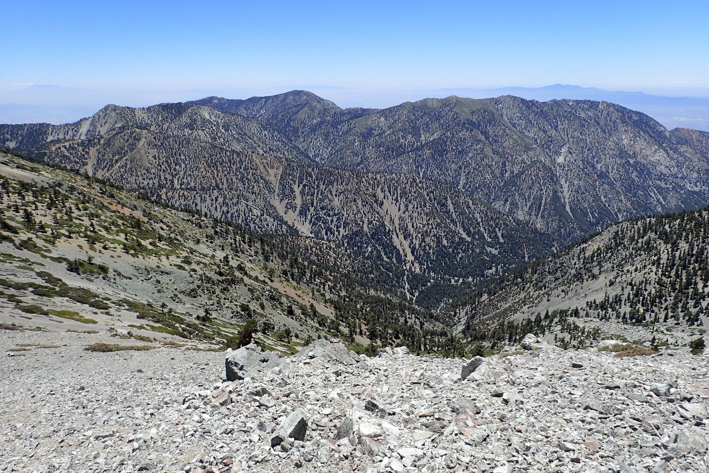
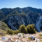
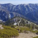
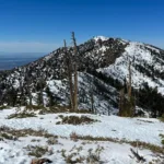
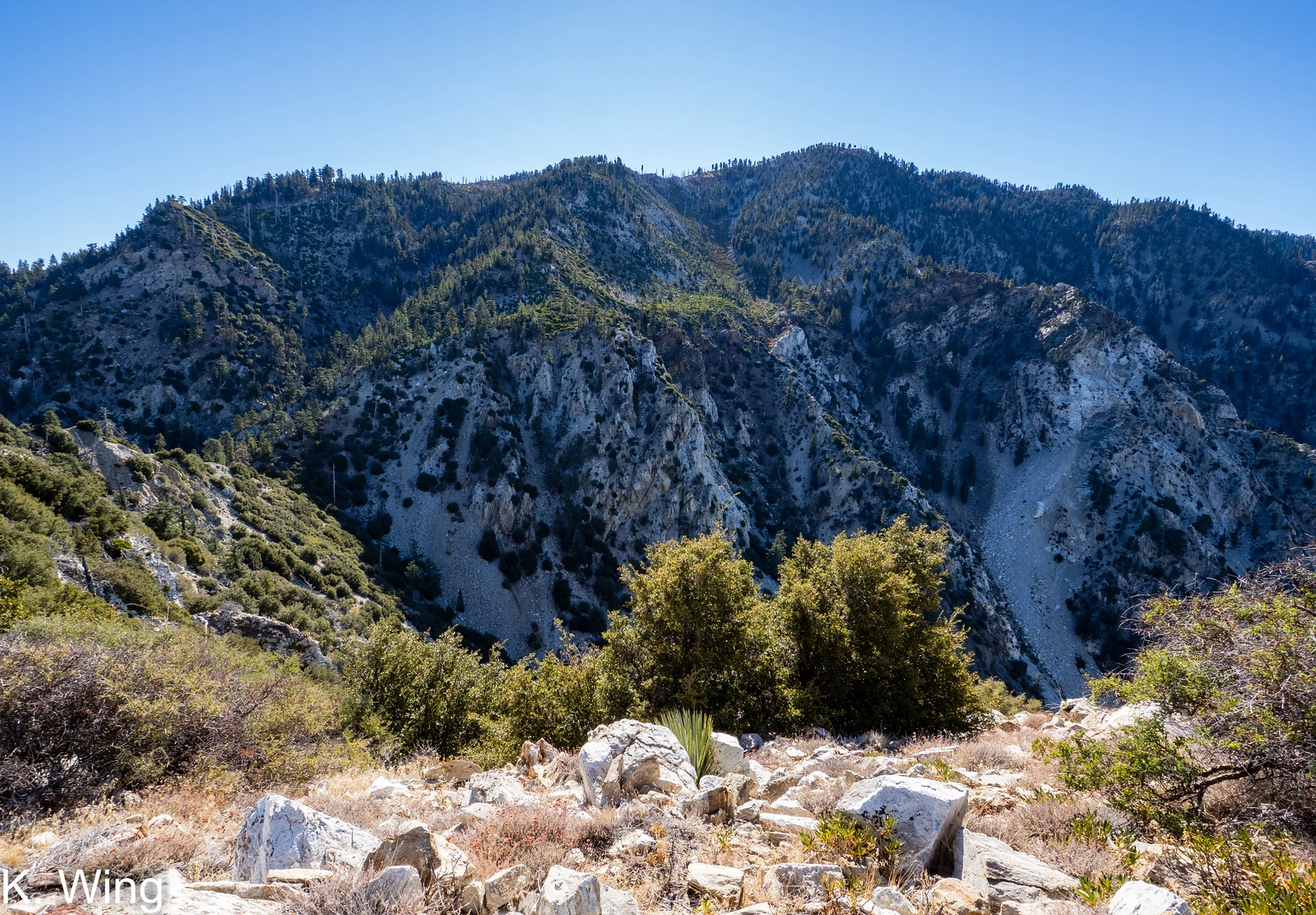
Ontario Peak, taken from Sugarloaf, Photo by Kathy Wing.

Peak Name

Ontario Peak
17B

Elevation

8693

 feet

Status

active

Region

Cucamonga Peak Area

Range

San Gabriel Mountains

Location

34.2277841,-117.6239432

Description

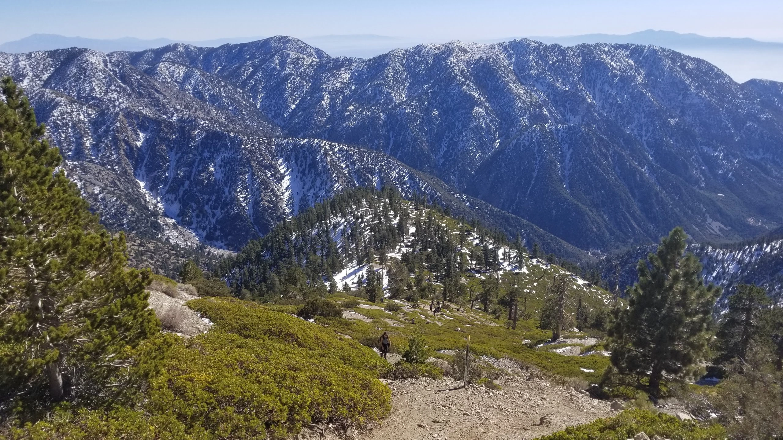
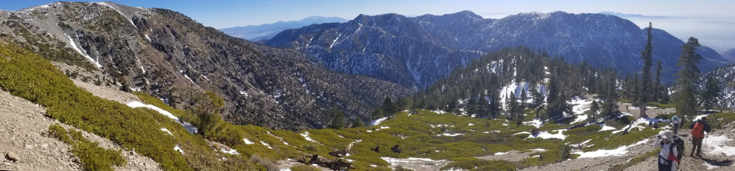
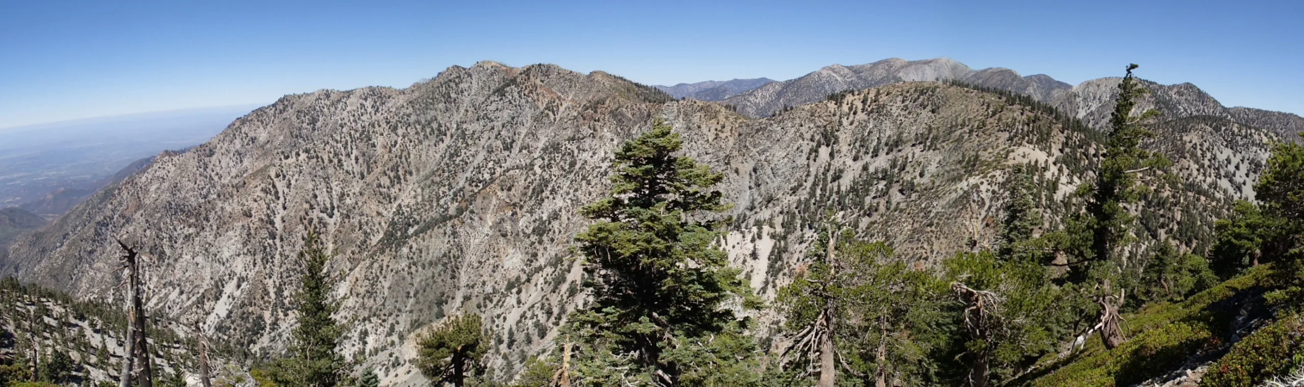
Ontario Peak stands as the front peak in a row of superstar peaks and incredible hikes. This rugged ridge and peak was named in 1908 for the nearby city sitting far below its peak. Sometimes overshadowed by its bigger neighbors Baldy and Cucamonga, Ontario is a worthy destination on its own or a fantastic add on to a Cucamonga and Bighorn hike.

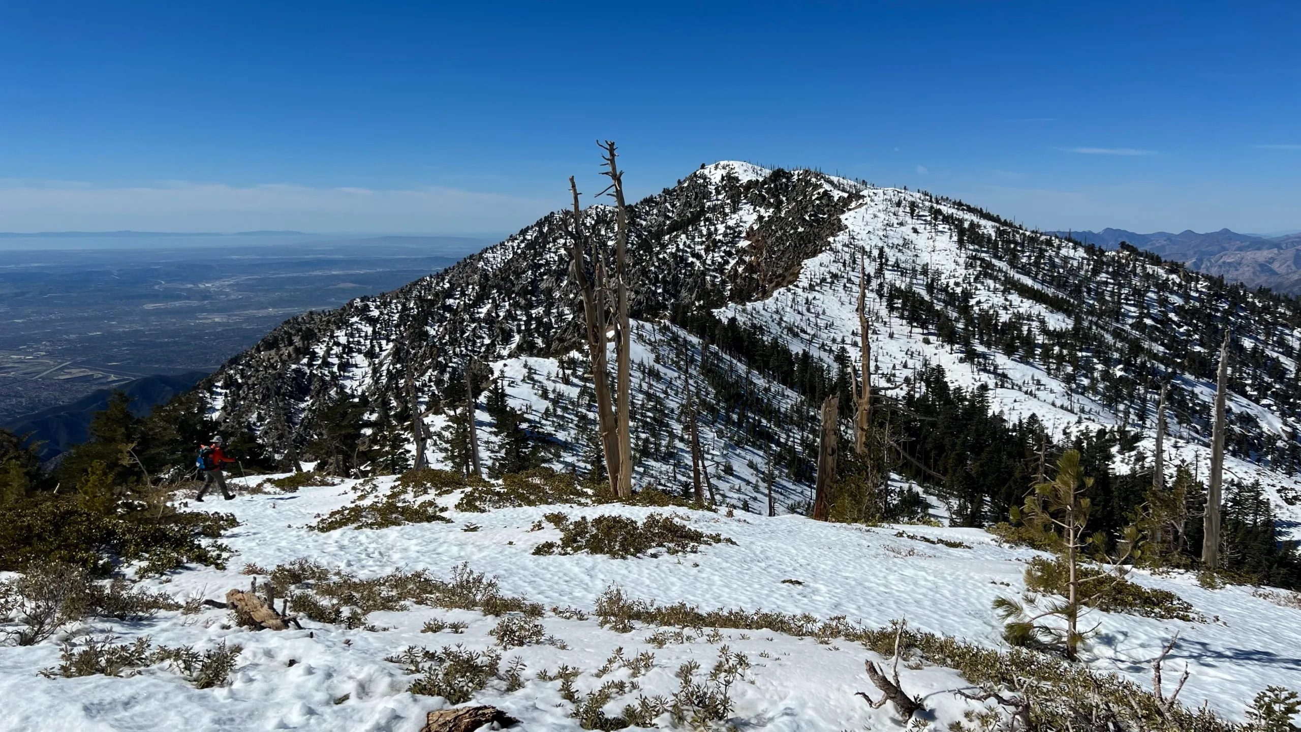
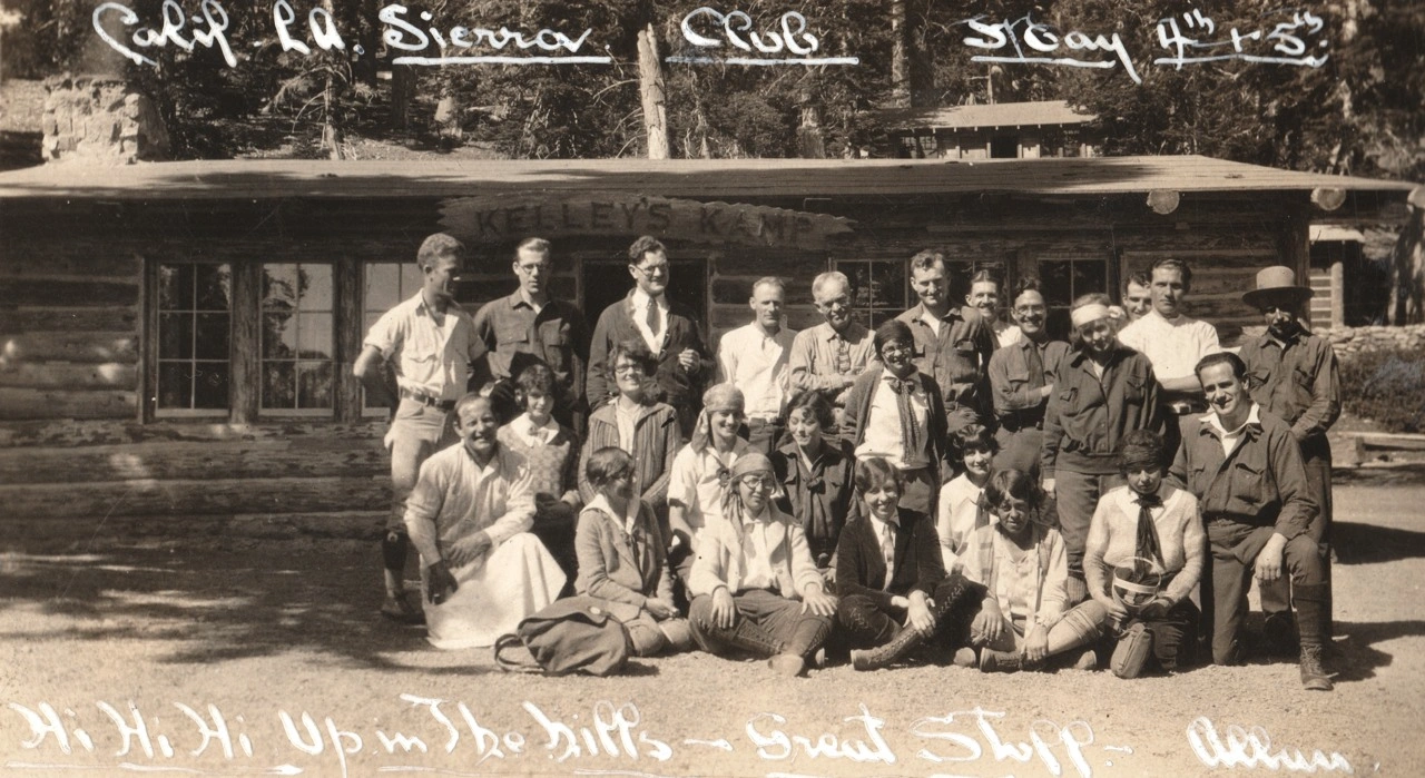
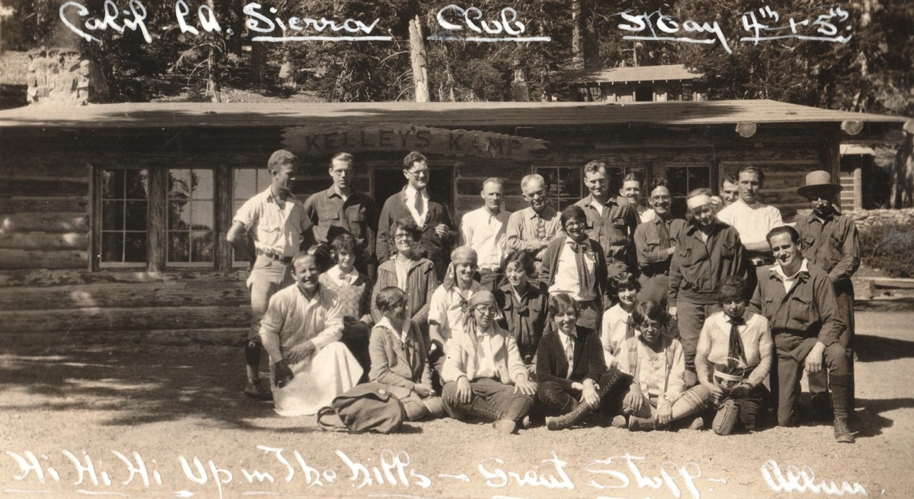
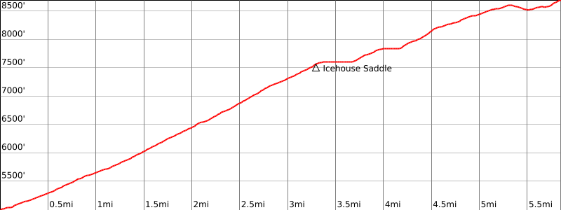
Route 1 is the primary trail to the top and it runs up the always gorgeous and almost always crowded Icehouse Canyon Trail, a tree-shaded and magical area. This trail is one of the few trails in Southern California that has a year-round creek running alongside it. With ample tree cover and a reasonable grade all the way to Icehouse Saddle, this is a great three season hike. From Icehouse Saddle, turn right towards the ruins of historic Kelly’s Camp and then follow the trail up and over and around a few ridges to the top. Be sure to stop for a break at Columbine Spring on your way. As the name implies, the winter cold often makes for icy and dangerous trail conditions. It should be avoided under such conditions; there are many accidents here every year, and some deaths.

There are numerous alternative routes. One can hike to Ontario by first summiting Bighorn (you can refer to that peak guide), then following a use trail west to join Route 1. Bighorn itself can be climbed several ways, including from its east ridge, accessed from the saddle between Bighorn and Cucamonga, or a brushy use trail that starts from Icehouse Saddle about 100 yards toward Cucamonga. Ontario is also hiked as an add-on to a hike to Sugarloaf; the route continues on clear but challenging use trail to the summit of Ontario, from which people usually opt to descend Route 1 on trail rather than descending the dangerous trail back over Sugarloaf.

Maps generated from CalTopo.com, reproduced with permission

Route 1- From Icehouse Canyon
Elevation Gain
3700′
Navigation Difficulty
Easy
Distance
12 miles round trip on trail
Estimated time
6-7 hours round trip
Route Rating
Class 1, strenuous
Leader Rating Required
“O”, normal conditions

Driving route

Take the 210 freeway east to Baseline Road exit in the City of Claremont. Turn left (west) at the bottom of the off-ramp onto Baseline Road.
Almost immediately, take the first right (north) onto Padua Ave.
Go 1.8 miles north on Padua to the intersection with Mount Baldy Rd. Turn right (northeast).
Take this road northeast and then north about seven miles to Mt. Baldy Village.
Continue two and a half miles past Baldy Village to a fork at Icehouse Canyon, keep right.
Go a short distance to a parking lot. Park here.

Hiking route

From the parking area (5000′), trail 7W07 starts just to the right of the old Icehouse Lodge foundation.
Hike up this trail about 3/4 mile to a trail junction with the Chapman Trail.
Continue straight up the canyon past Columbine Spring to another junction with the Chapman Trail.
Turn right and follow the trail up to Icehouse Saddle. It is also possible to take the Chapman Trail. It adds about 1 1/2 miles to Icehouse Saddle.
There are a number of trails at the saddle. Take the first one to the right and follow it about a mile to Kelly’s Camp.
Pass uphill through the camp and pick up the trail again which goes up to the top of the ridge.
Turn right and follow the trail out to the summit.

Route Notes

Printable Route

Road Type

Paved

Google Maps Link to Trailhead 

Additional Peak Information

Special conditions: Ontario Peak and Sugarloaf Peak are in the Cucamonga Wilderness. A permit is required. Applications are available on the trail just past the Icehouse Canyon Trailhead. Fill it and drop in the box, or contact the USFS Mt. Baldy Schoolhouse Visitor Center in Mt. Baldy Village at (909) 982-2829 (8:00 am to 4:30 pm). A permit can be obtained in advance be writing to:
San Gabriel River Ranger District
Angeles National Forest
110 North Wabash Avenue
Glendora, CA 91741
(626) 335-1251

Historical notes: Ontario Peak is named for the Canadian province of the same name.

Nearby Peaks

Backus Peak
Owens Peak
Black Mountain #5
Morris Peak

External Links

mountain 1

Peakbagger.com

Click Here

ranger-tower 1

Nearest ranger station

Click Here

g311

NOAA Forecast

Click Here

worldwide 1

Google Earth

Click Here

Photo Gallery