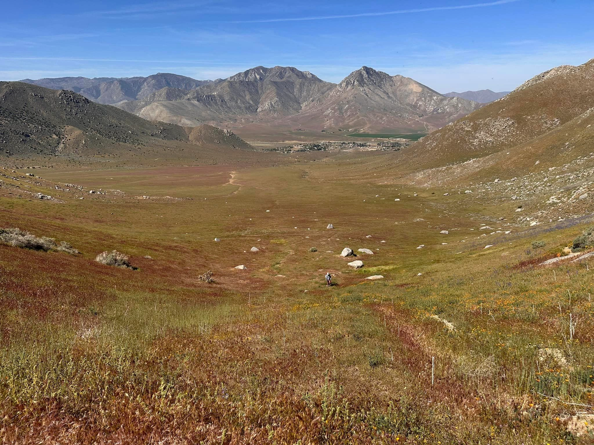
Wildflowers on Nicolls and Heald, taken from Onyx #2, photo by Sunny Yi
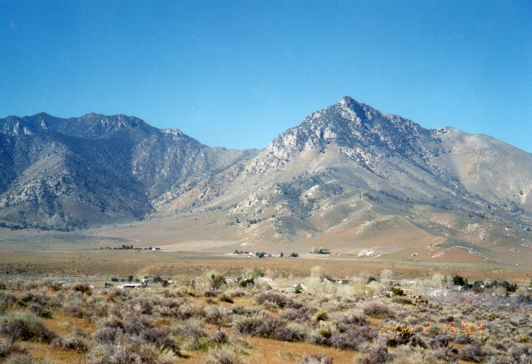
Nicolls and Heald, photo by Janet Howell


Peakbagger.com

Nearest ranger station

NOAA Forecast

Google Earth


