Heald Peak

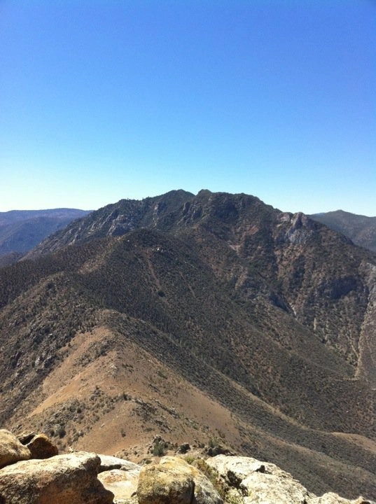
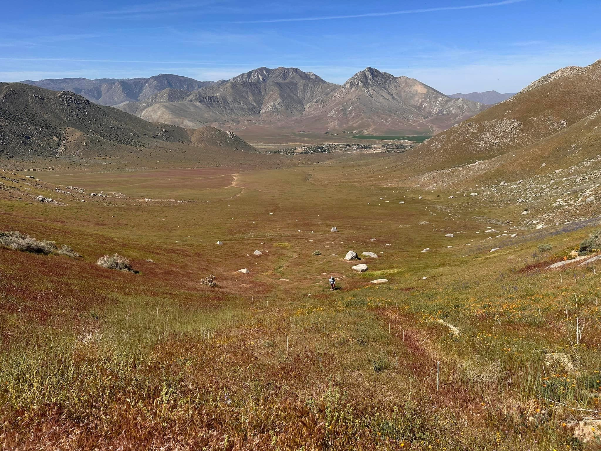
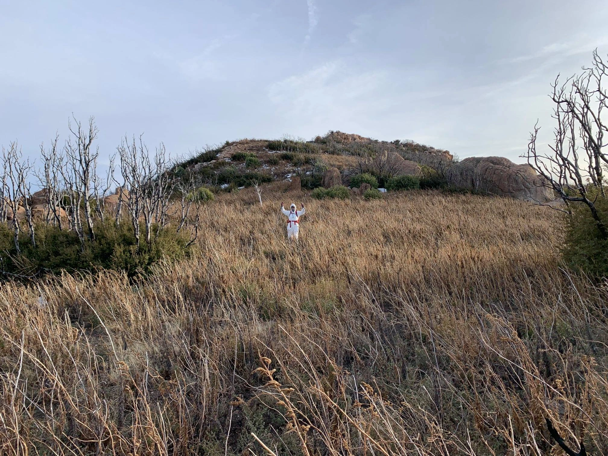
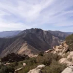
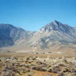
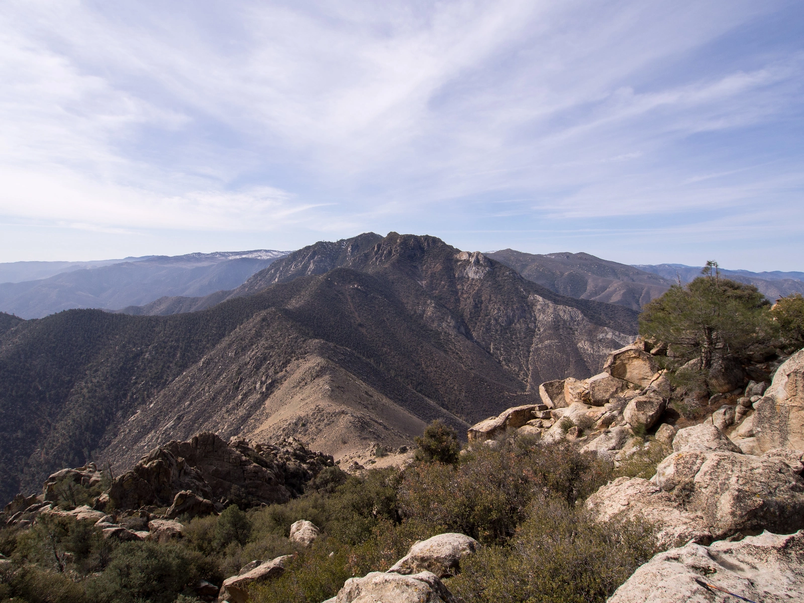
Heald Peak, taken from Nicolls, Photo by Kathy Wing.

Peak Name

Heald Peak
02M

Elevation

6901

 feet

Status

Suspended

Region

Southern Sierra South Of Hwy 178

Range

Piute Mountains

Nearby peaks

Location

35.5910656,-118.3100802

Description

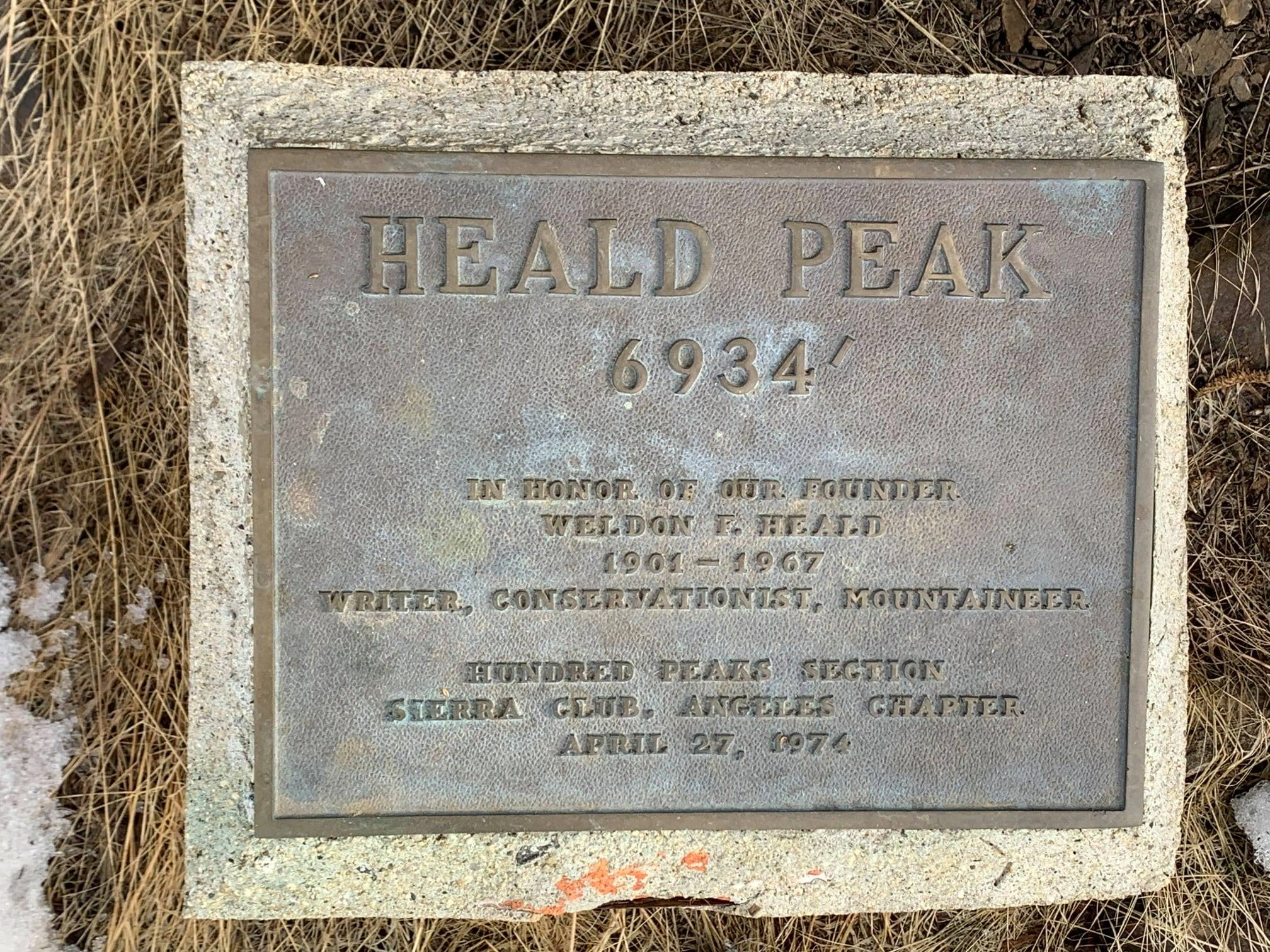
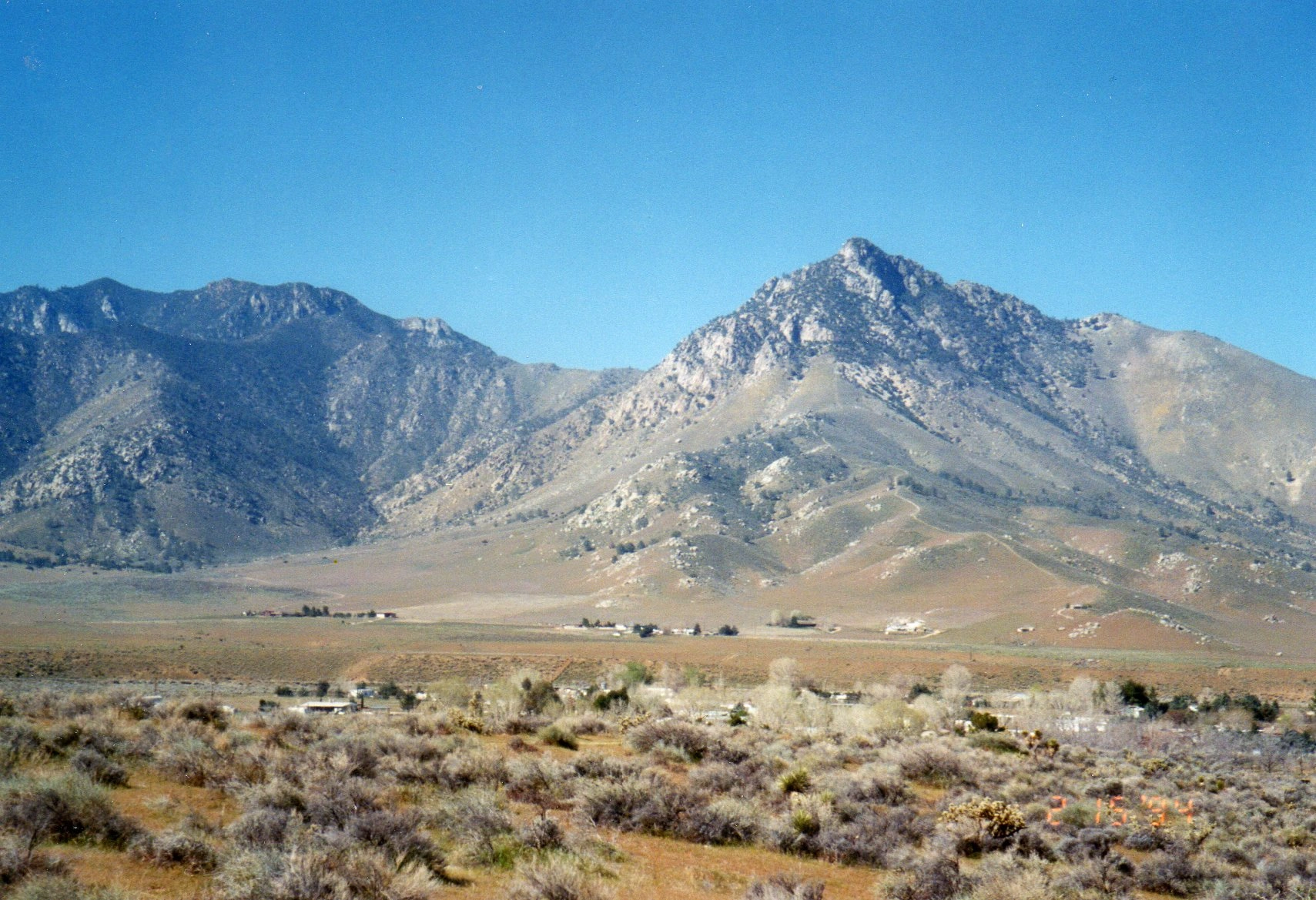
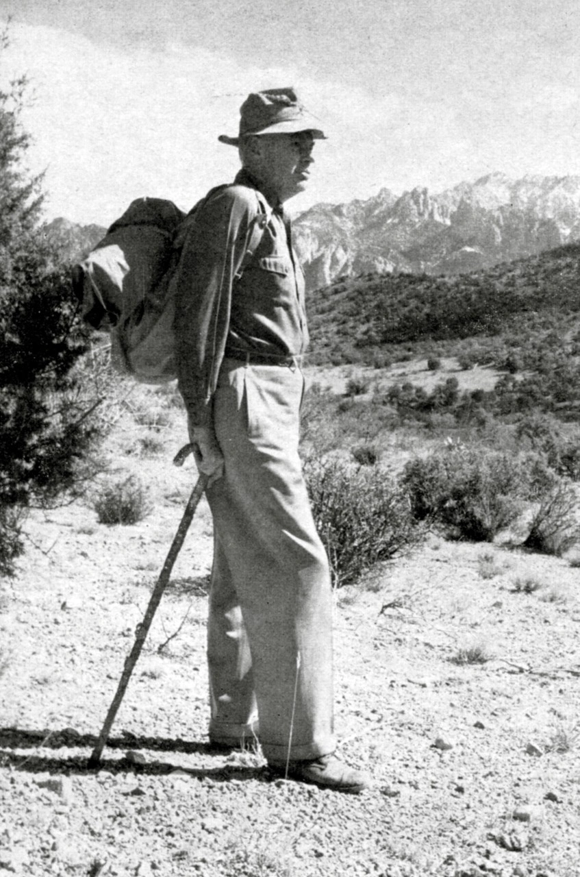
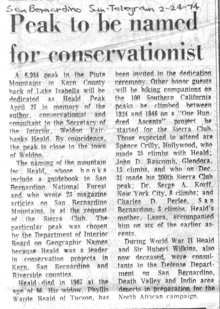
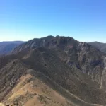
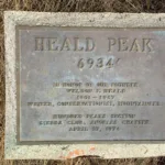
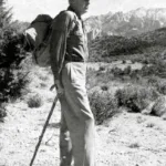
Heald Peak and its neighbor Nicolls Peak are some of the best hikes in Kern County and are commonly hiked together. They both have stunning 360 degree views of Lake Isabella, pretty Kelso Valley and the distant Sierras. Heald is named after Weldon F. Heald, founder of the Hundred Peaks Section. There is a plaque near the summit in recognition of him. Click on the summit name origin link to read more about him and the “Hundred Peaks Game” he devised.

Route 1 ascends ridges on trail that after a few miles has been impassable in recent years. Route 2 comes from Nicolls Peak; see instructions for that peak, Heavy poodle dog bush growth after the 2012 Heald Fire makes an ascent unnecessarily hazardous, leading to its suspension until conditions improve. Take precautions and do not proceed if you react to this plant. (Note added March 2021.)

Suspended March 8, 2022, due to Poodle Dog.

Maps generated from CalTopo.com, reproduced with permission

Route 1
Elevation Gain
3500′
Navigation Difficulty
Moderate
Distance
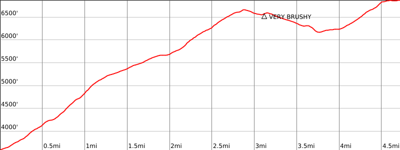
10 miles round trip on trail and cross-country
Estimated time
7-8 hours round trip
Route Rating
Class 1, strenuous
Leader Rating Required
“I”, normal conditions

Driving route

Start at SR 178 and Kernville Airport Road junction.
Go 0.2 mile west to Vista Grande Road and turn left.
Low slung vehicles can drive to parking area with care. Mark odometers at Vista Grande and SR 178.
Go south on Vista Grande.
In 0.5 mile, pavement ends at Bella Vista. Go straight.
In 0.3 mile, intersect Hill View Acres Road. Go right.
In 0.8 mile, intersect Brooks Road. Go left.
Proceed on Brooks Road past “El Rancho Poco” and several intersections to the “W” ranch.
In 1.0 mile, just before the “W” ranch, several roads meet.
Take the one that veers left (but not sharply).
In 0.3 mile, road comes in from sharp left. Keep straight.
In 0.1 mile, fork. Go right.
In 0.1 mile, fork. Go right 1/4 mile or less until you see a road going down to a wash on the right. Park here.

Hiking route

From the parking area (3412′), go across the wash and pick up the road on the other side.
Hike up it 1/3 mile to a gate marking the National Forest Boundary. Continue up the road 400′ farther to the junction with trail 34E15 to the right, at a sign “Dry Meadow – 4”.
Follow the trail about 3 miles to elevation 6500′, on the ridge southwest from Heald.
Leave the trail here and go east, contouring around the north side of elevation 6850’+ to get on the ridge going to the east from elevation 6850′. The thick brush in the area before the ridge cannot be avoided.
Continue east along the ridge to the saddle at 6160’+. The very heavy brush on this ridge can be circumvented on the right (south). Then hike northwest and north along the ridge to the summit.

Route Notes

Note: The roads are very faint and may be difficult to see. Check your mileages going in and coming out.

Printable Route

Road Type

Dirt

Google Maps Link to Trailhead 

Route 2- From Nicolls Peak
Elevation Gain
2200′ from Nicolls Peak
Navigation Difficulty
Easy
Distance
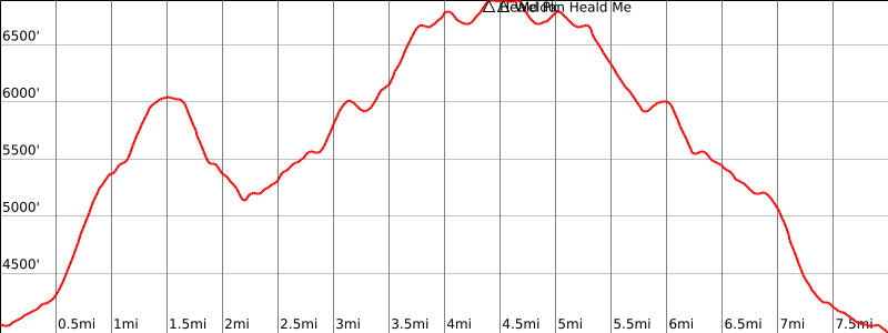
6 miles round trip cross-country from Nicolls Peak with very heavy brush
Estimated time
5 hours round trip
Route Rating
Class 2, strenuous
Leader Rating Required
“I”, normal conditions

Driving route

See the Nicolls Peak guide.

Hiking route

From the summit of Nicolls Peak, hike back down to the saddle you hiked up to from the parking area.
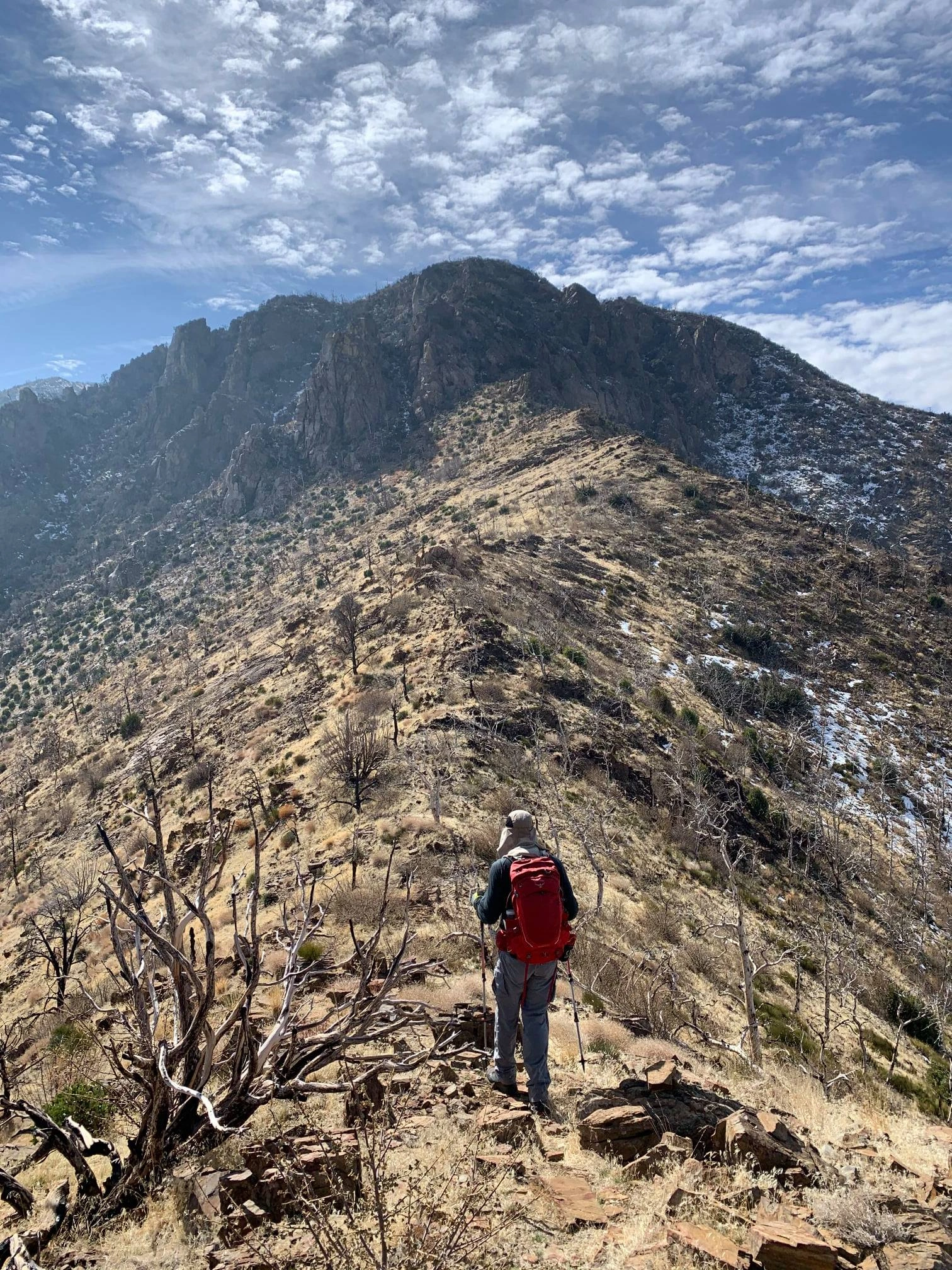
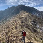
Follow the ridge south-southwest over bumps 5207′, 6023′, and 6808′ to the summit of Heald. There is a steep section of class 2 just north of bump 6808′. Hike up the ducked and clipped use trail over the class 2 rocks. There is a sea of brush after the top of the class 2 section. It can be bypassed somewhat on the left (east). This way is a bit easier than trying to push through the middle of the brush. Care must be used to identify your route to the peak so you can return the same way. It is very easy to get lost in the brush. The placing of supplemental stick marks at critical points can be useful.

Route Notes

From Nicolls Peak to Healds Peak.

Printable Route

Road Type

None

Google Maps Link to Trailhead 

Additional Peak Information

Note: Nicolls and Heald are often combined as a single long day hike since the driving route is almost identical for both.

Historical notes: The peak is named for the founder of the Hundred Peaks Section, Weldon F. Heald. A dedication climb was led April 27, 1974, at which time a plaque was placed just below the summit boulder.

Nearby Peaks

Backus Peak
Owens Peak
Black Mountain #5
Morris Peak

External Links

mountain 1

Peakbagger.com

Click Here

ranger-tower 1

Nearest ranger station

Click Here

g311

NOAA Forecast

Click Here

worldwide 1

Google Earth

Click Here

Photo Gallery