
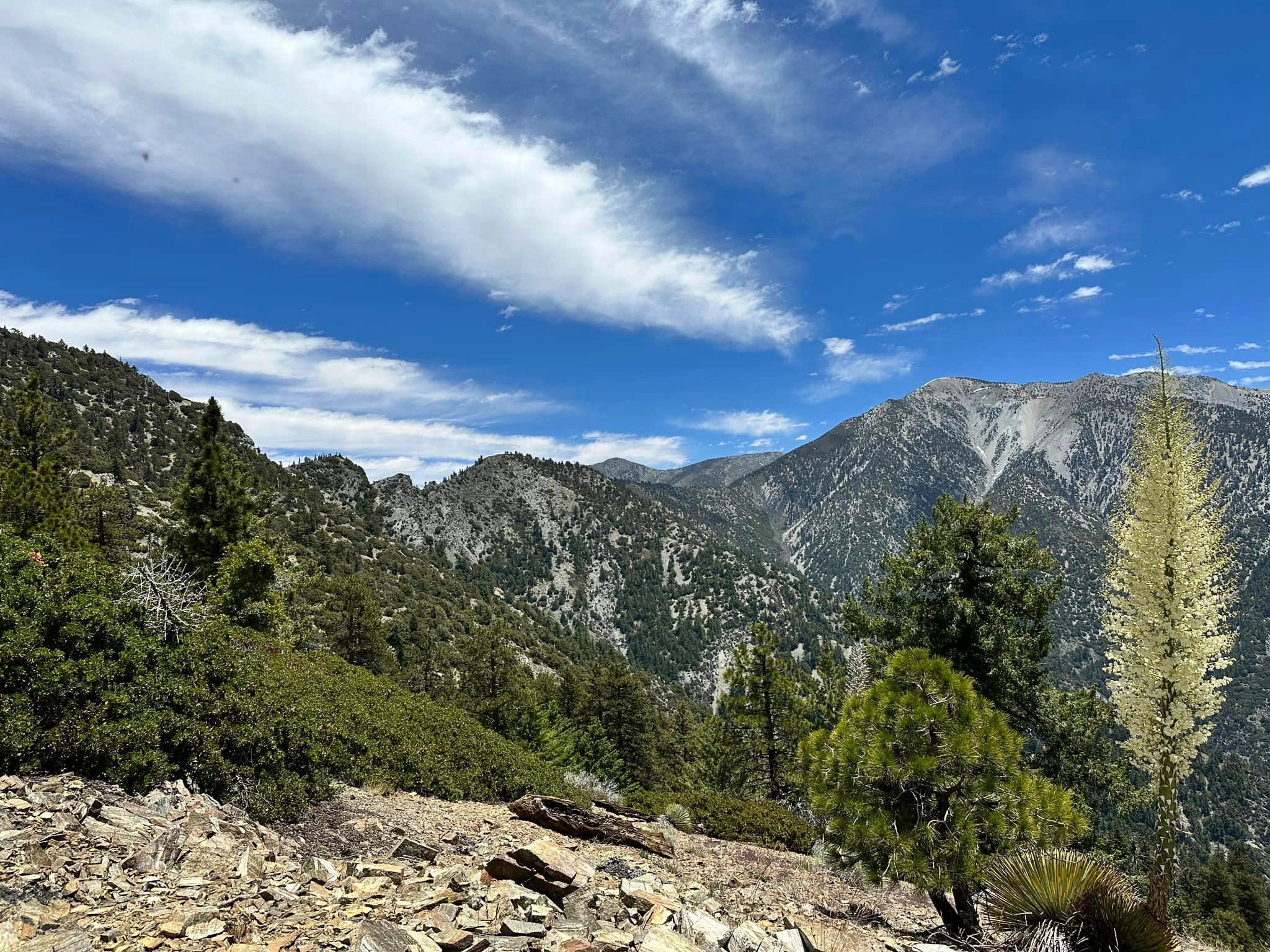
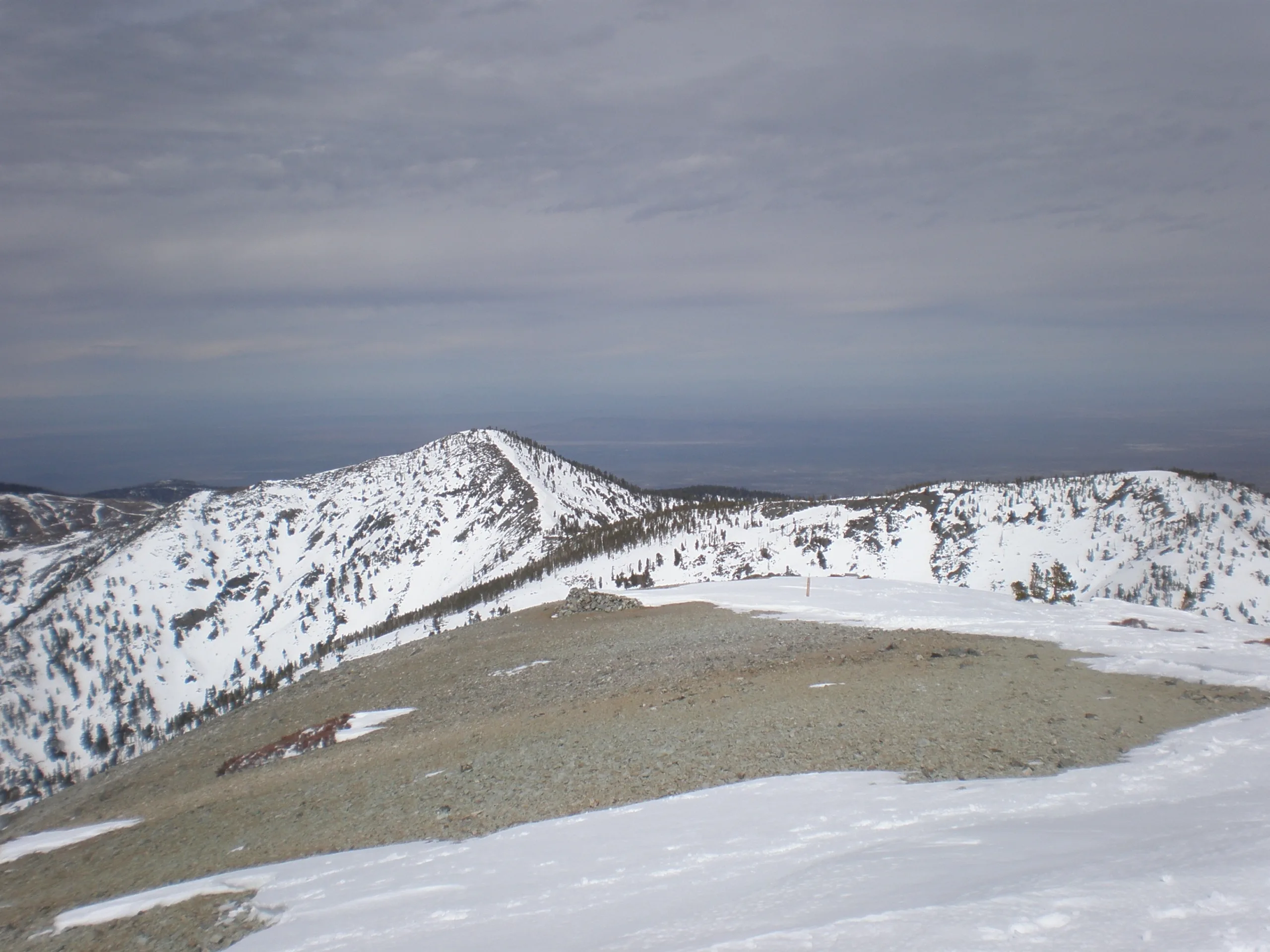
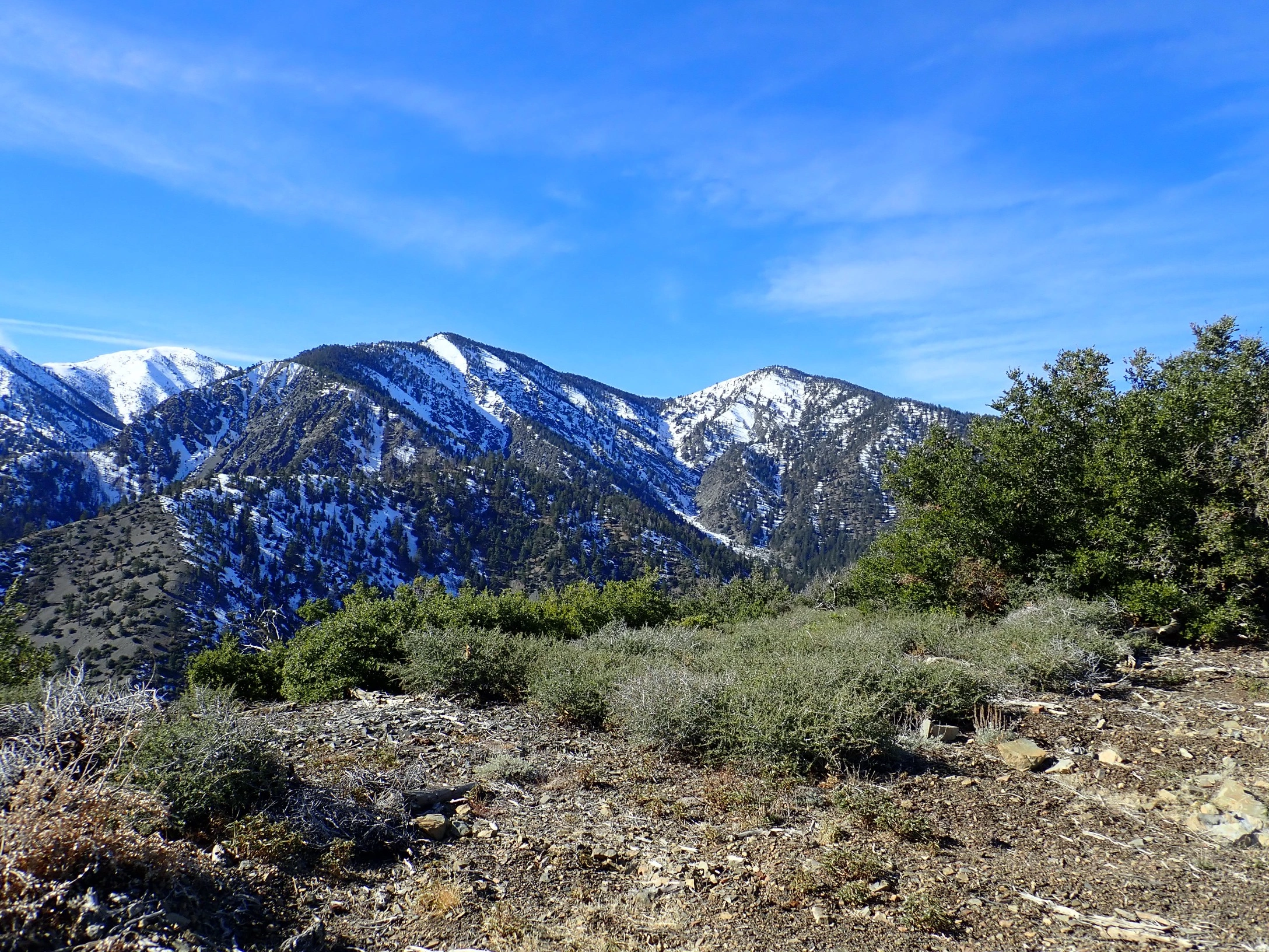
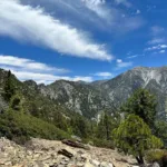
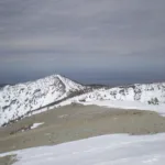
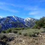
Mount San Antonio, taken from Copter Ridge, photo by Kathy Wing
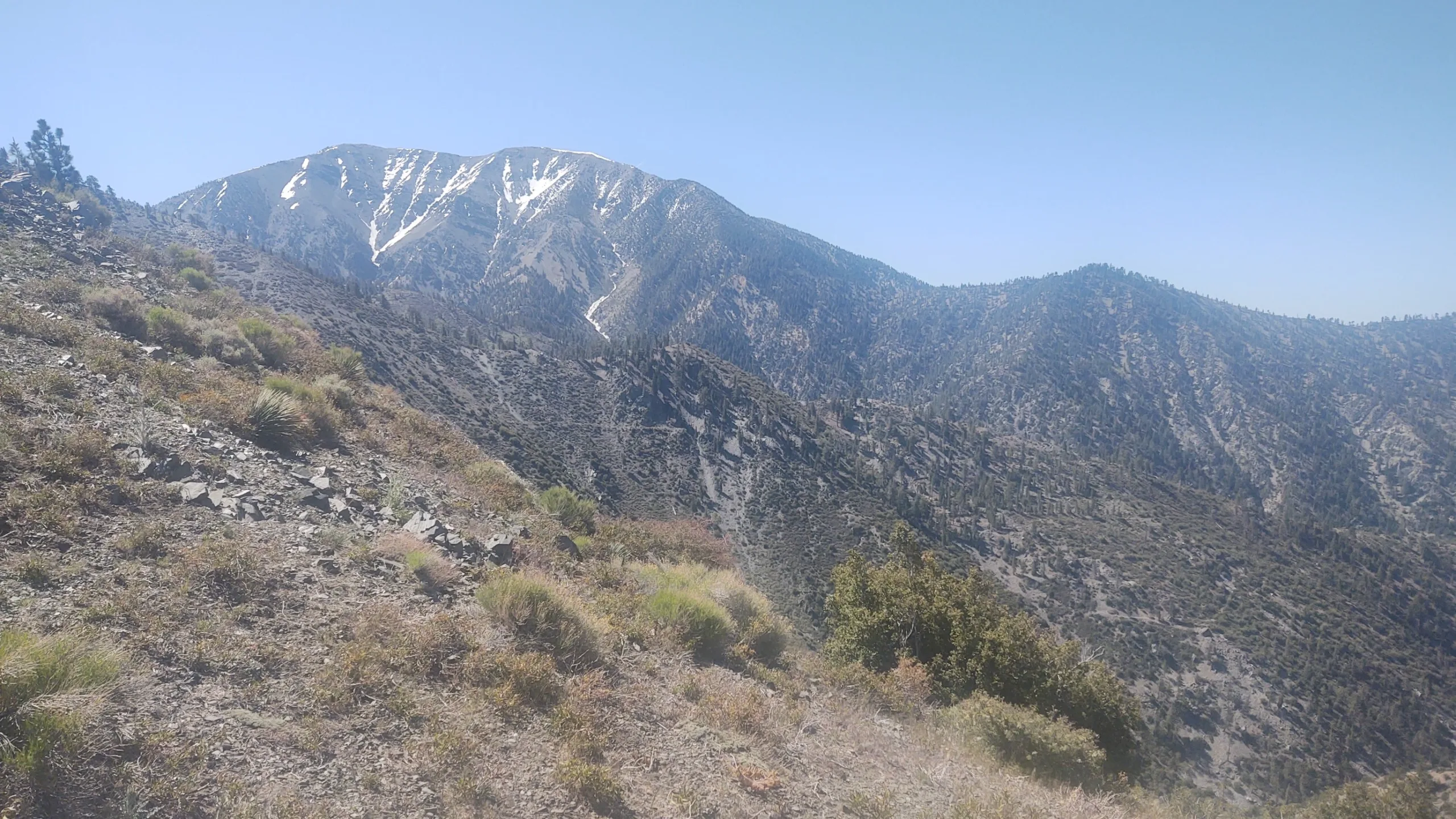
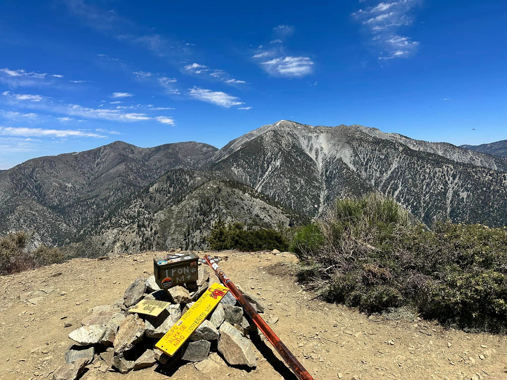
Iron Mountain Baldy Traverse, photo by Sunny Yi
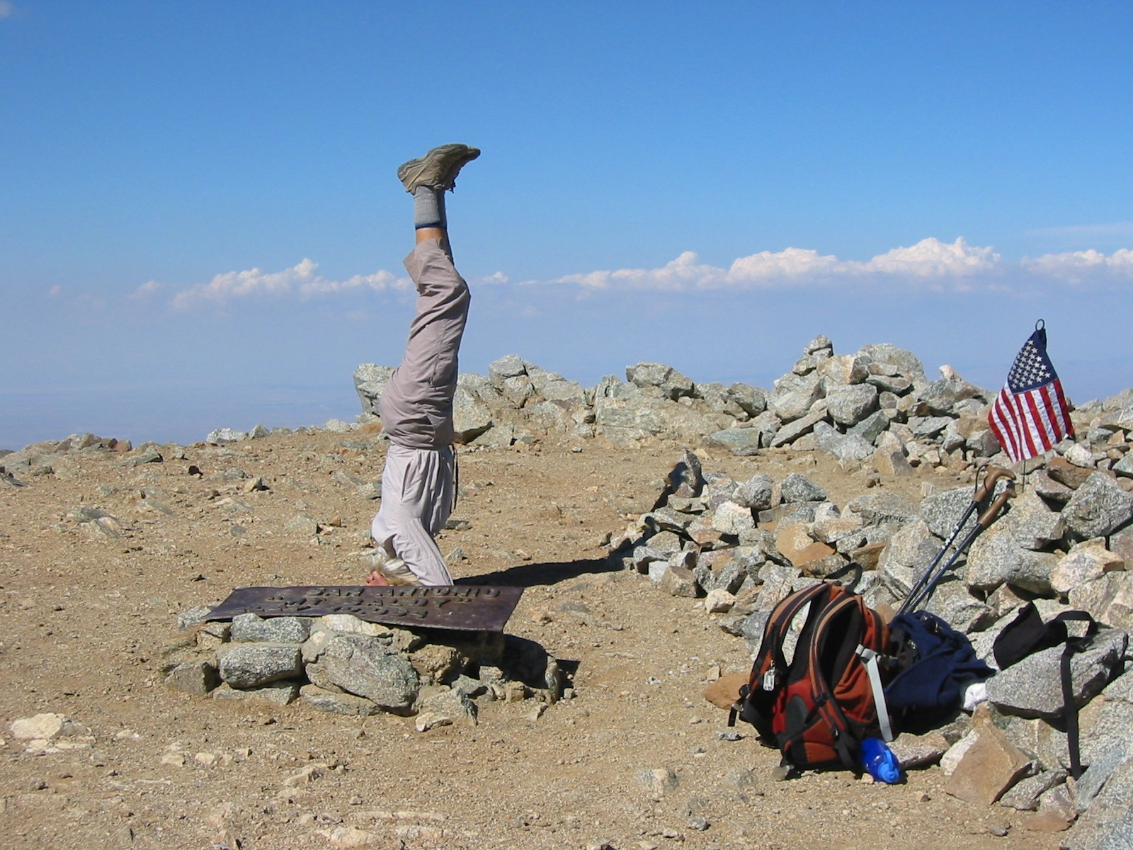
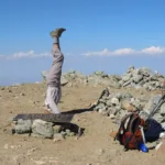
San Antonio Edith Liu Headst And Liu, photo by Edith Liu
Mount San Antonio, taken from Copter Ridge, photo by Kathy Wing
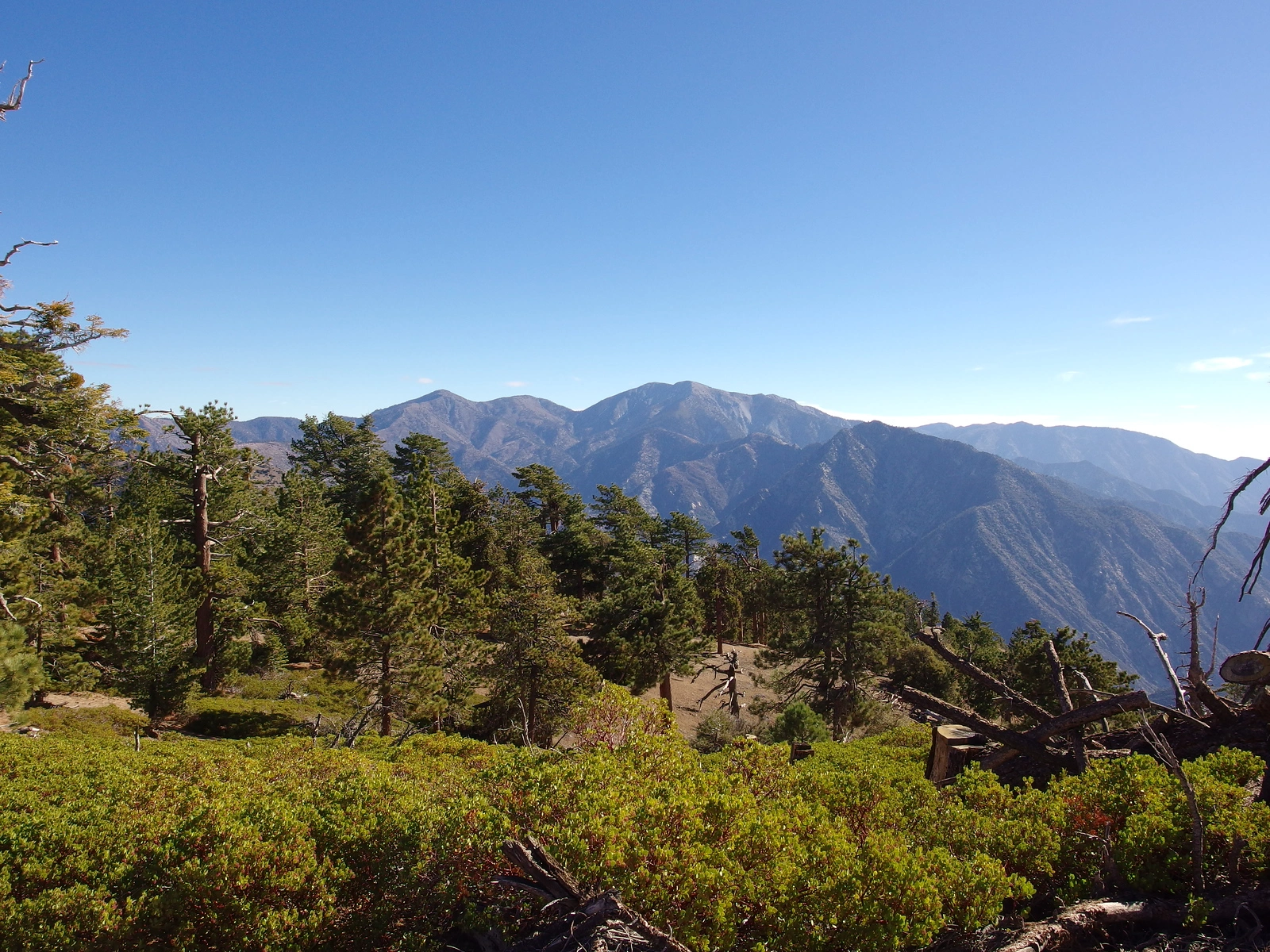
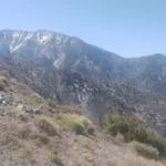
San Antonio Campbell #1, photo by Ron Campbell
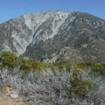
San Antonio Campbell #2, photo by Steve Russell
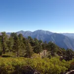
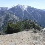
San Antonio, photo by Steve Russell
San Antonio, photo by Steve Russell
San Antonio, photo by Steve Russell
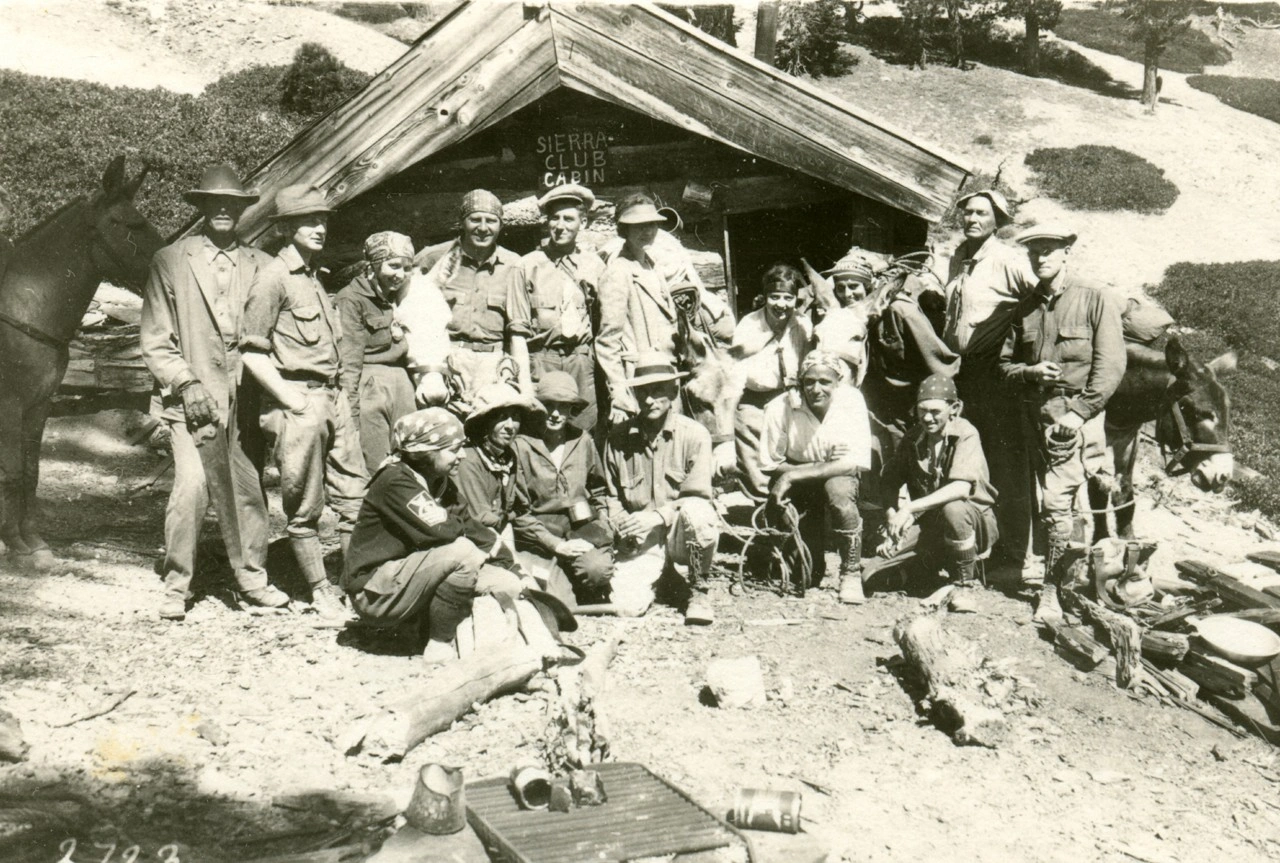
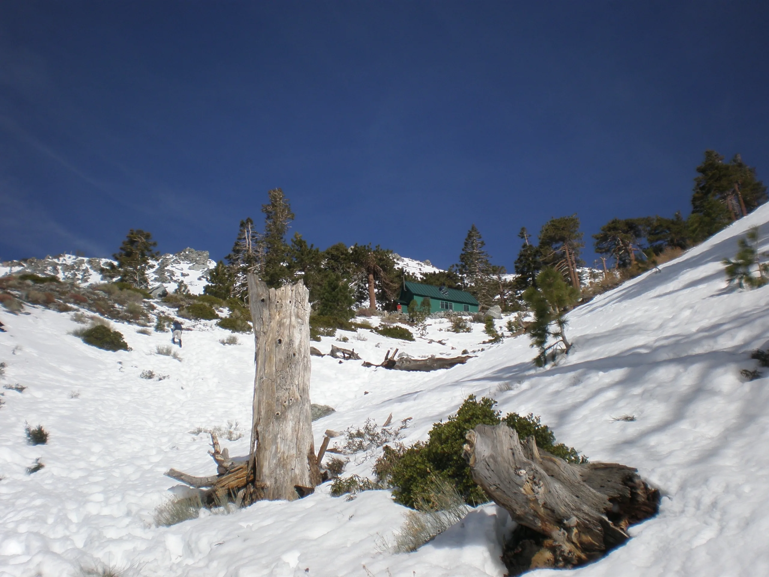
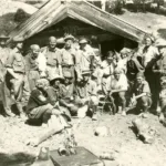
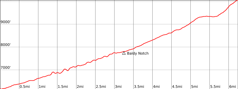
Sierra Club cabin below Baldy Notch in the 1930s, photo by Angeles Chapter Archives
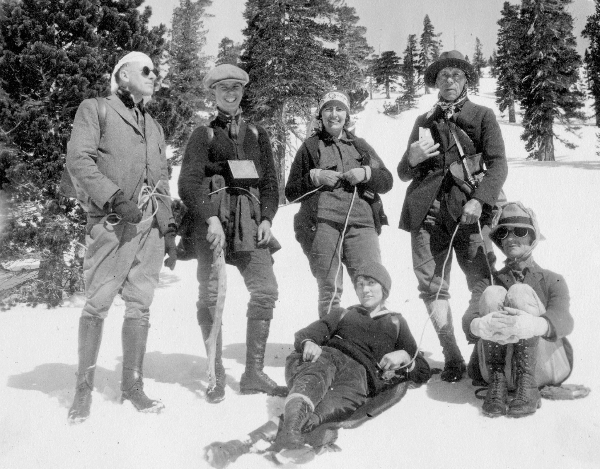
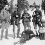
Winter Sierra Club ascent of Mount Baldy, 1923, photo by Angeles Chapter Sierra Club Archives
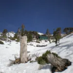
BaldyDawsonPine1, photo by Sharon Moore
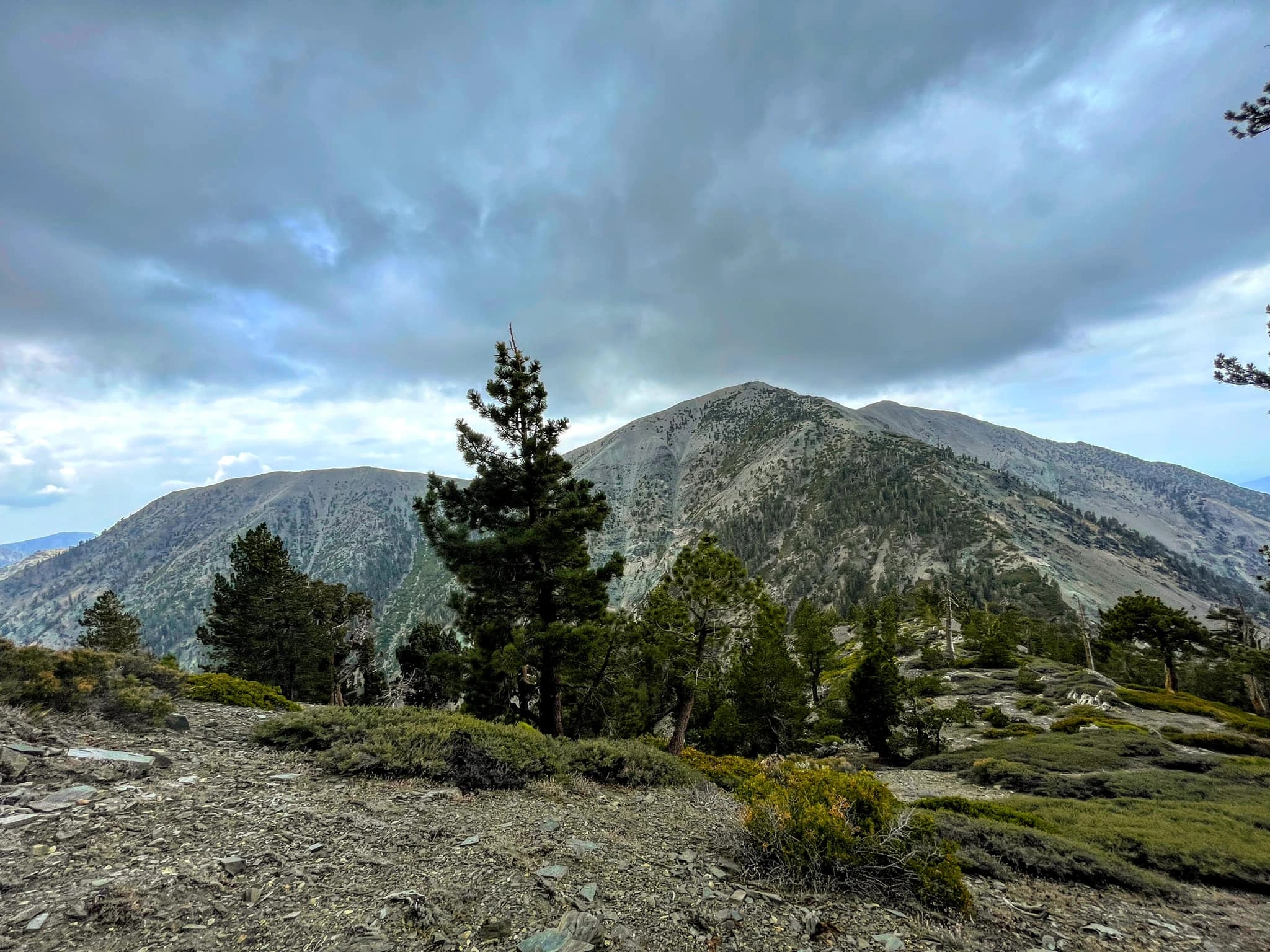
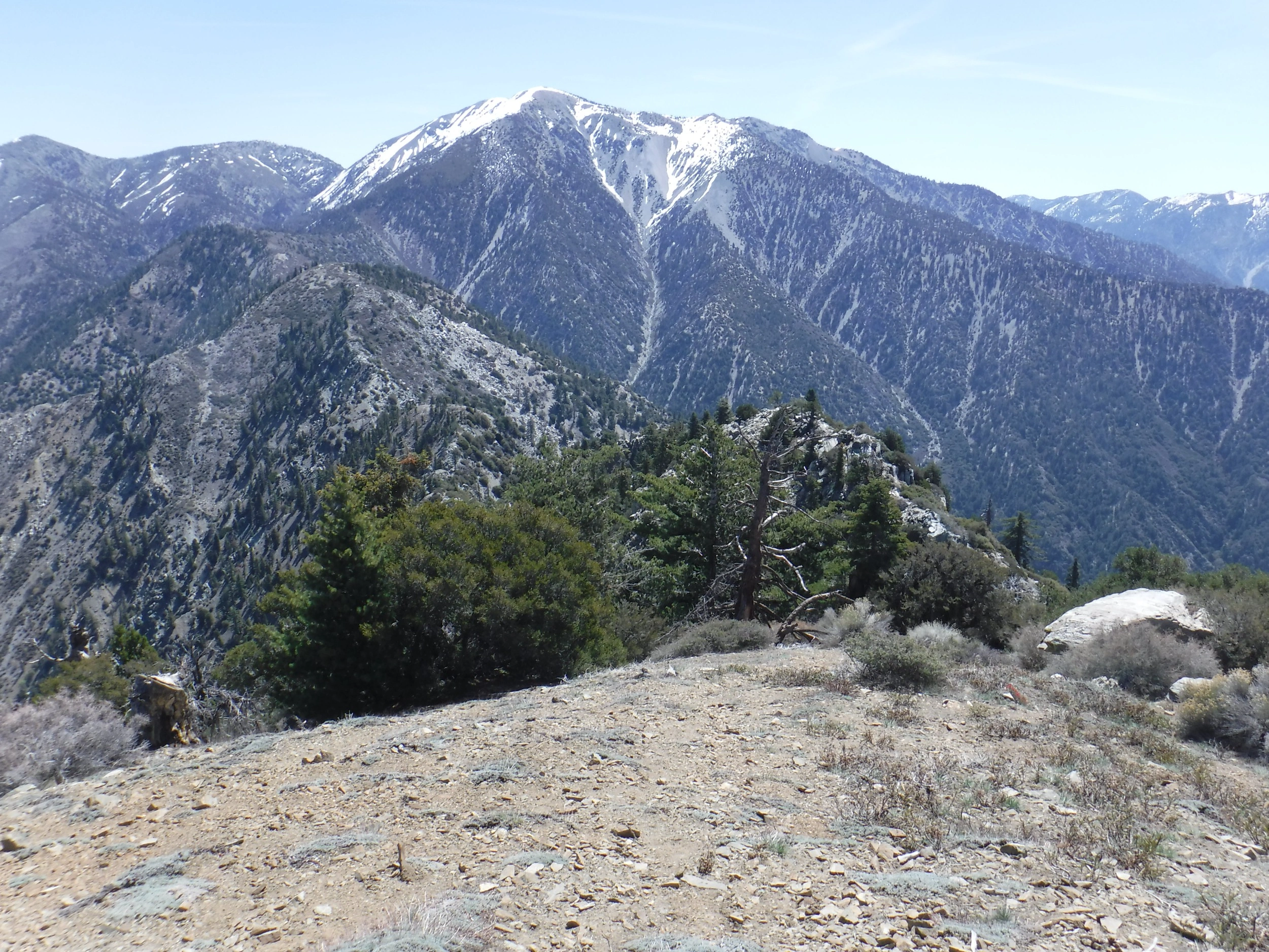
Baldy, taken from Dawson, photo by Sunny Yi
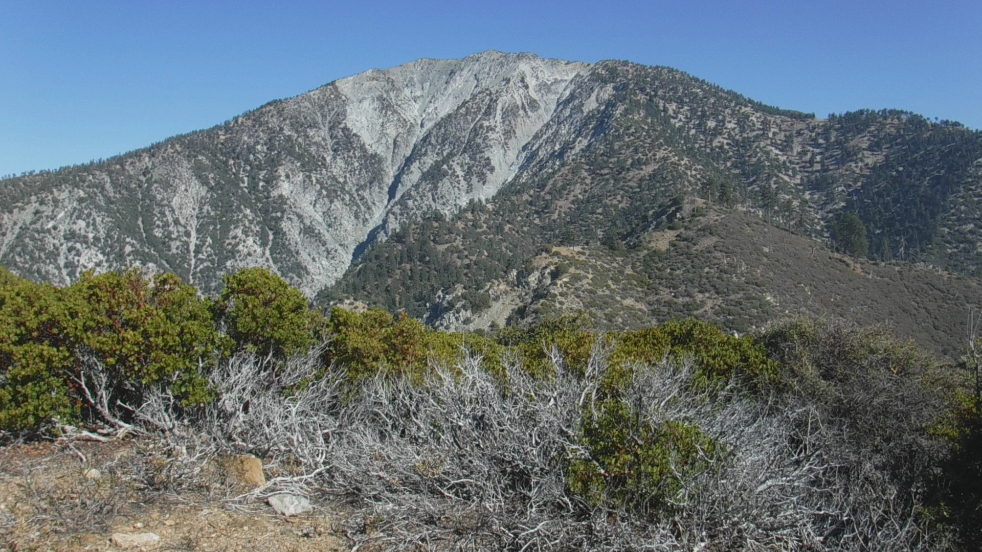
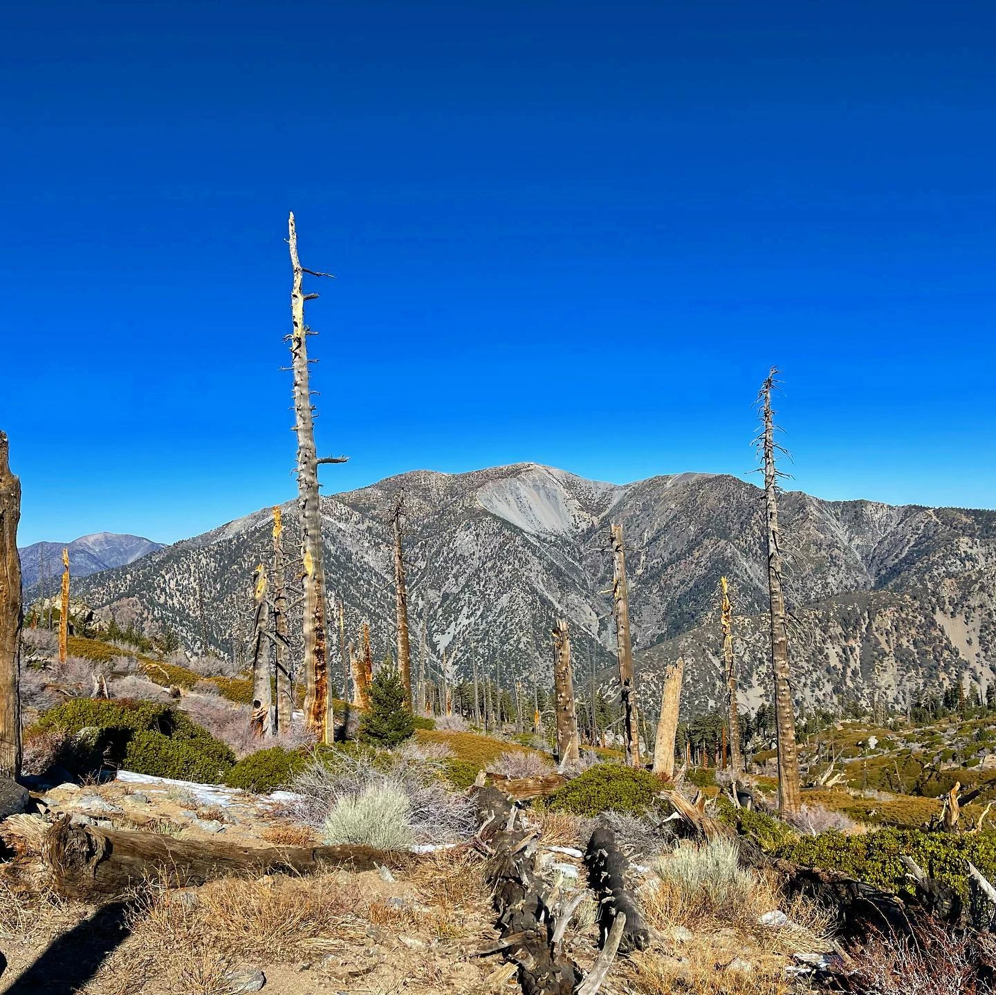
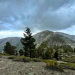
Baldy, taken from Iron Mountain, photo by Sunny Yi
Baldy, taken from Ontario, photo by Sunny Yi
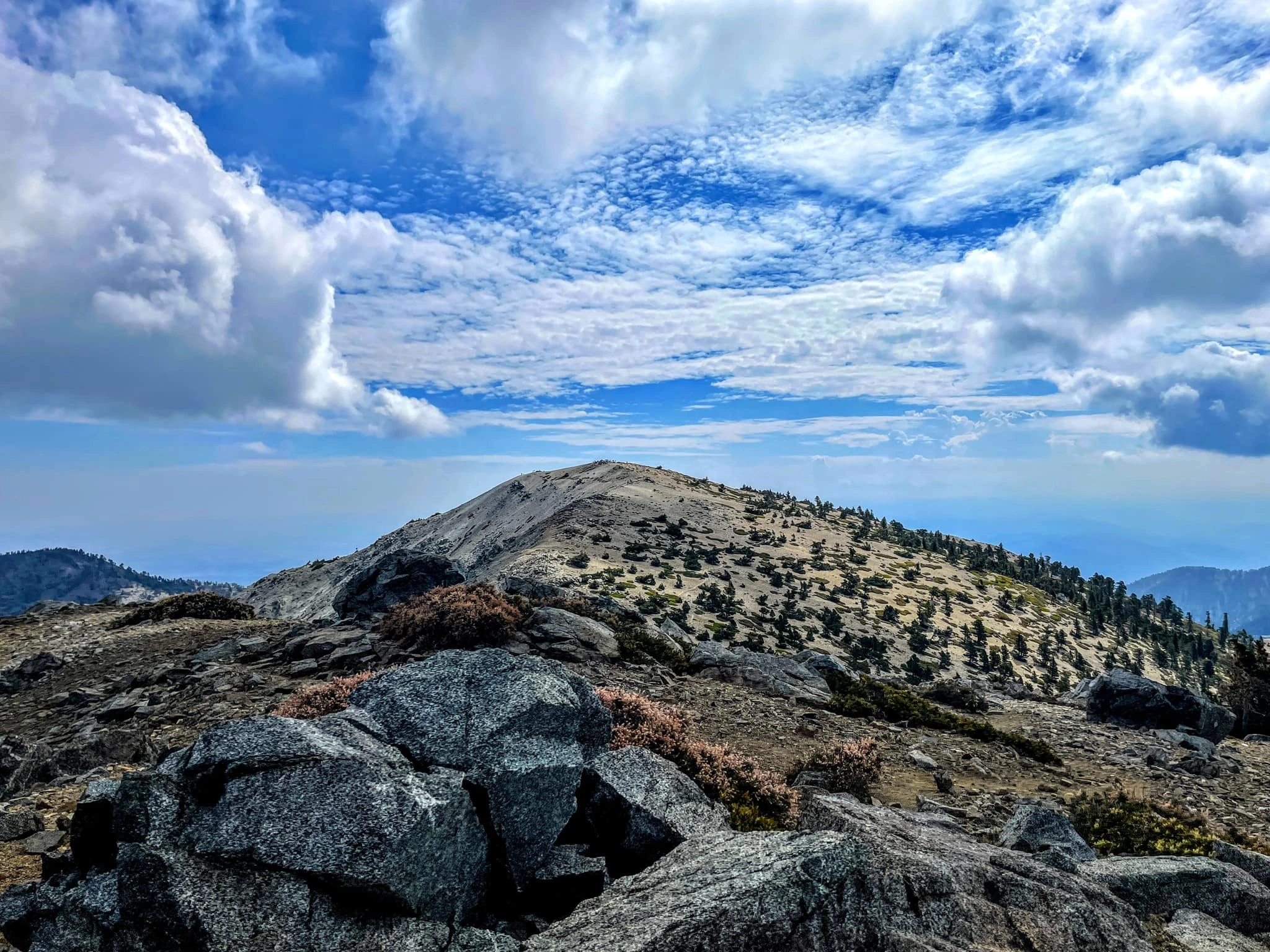
Baldy Near Summit, photo by Sunny Yi


Peakbagger.com

Nearest ranger station

NOAA Forecast

Google Earth


