Mount Marie Louise and her sister The Pinnacles lie northwest of Lake Arrowhead. Although not visible from the usual route, the peak and its pinnacles stand out dramatically when viewed from the west. It has views of the Hesperia area and the Mojave Desert beyond, Silverwood Lake and multiple HPS peaks including Cleghorn, Luna, Round and Rattlesnake.
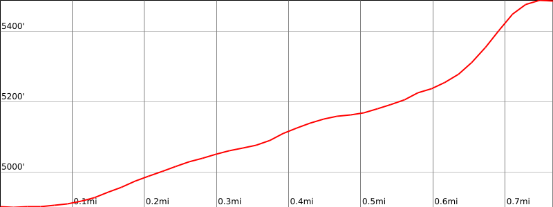
Although short, Route 1 is an interesting and gratifying cross country route that passes through interesting terrain and has some rock scrambling to the somewhat brushy summit.
Maps generated from CalTopo.com, reproduced with permission
Drive east on I-10 to I-215.
Drive north on I-215 to SR 210.
Drive on SR 210 to SR 18 (Waterman Avenue) in San Bernardino. Exit the freeway and turn left (north).
Drive north on SR 18 to Daley Canyon Road, found 5 1/2 miles past the Crestline SR 138 turnoff.
Turn left (north) on Daley Canyon Road. Note your odometer and go as follows:
At 0.5 mile, junction with SR 189. Turn left.
At 0.8 mile, fork. Go right and then immediately left onto Grass Valley Road.
At 2.8 miles, fork, with Grass Valley Road on the left. Turn left.
At 5.3 miles, intersection with SR 173. Turn left.
At 5.5 miles, intersection with Pilot Rock Road (2N33). Continuing straight on SR 173 leads to The Pinnacles. Turn left (west) on 2N33. Note your odometer and go as follows:
At 0.4 mile, pavement ends.
At 0.8 mile, fork. Passenger cars park here, adding 2 miles and 200′ gain to the round trip. High clearance vehicles turn right and cross a stream.
At 1.3 miles, water tank on the left.
At 1.8 miles, fork. Park here.
Hiking route
From the parking area, take the right fork (2N33) and hike about 100 meters to where a culvert (evident on close inspection) passes under the road. A duck might be visible in the gully to the right of the road.
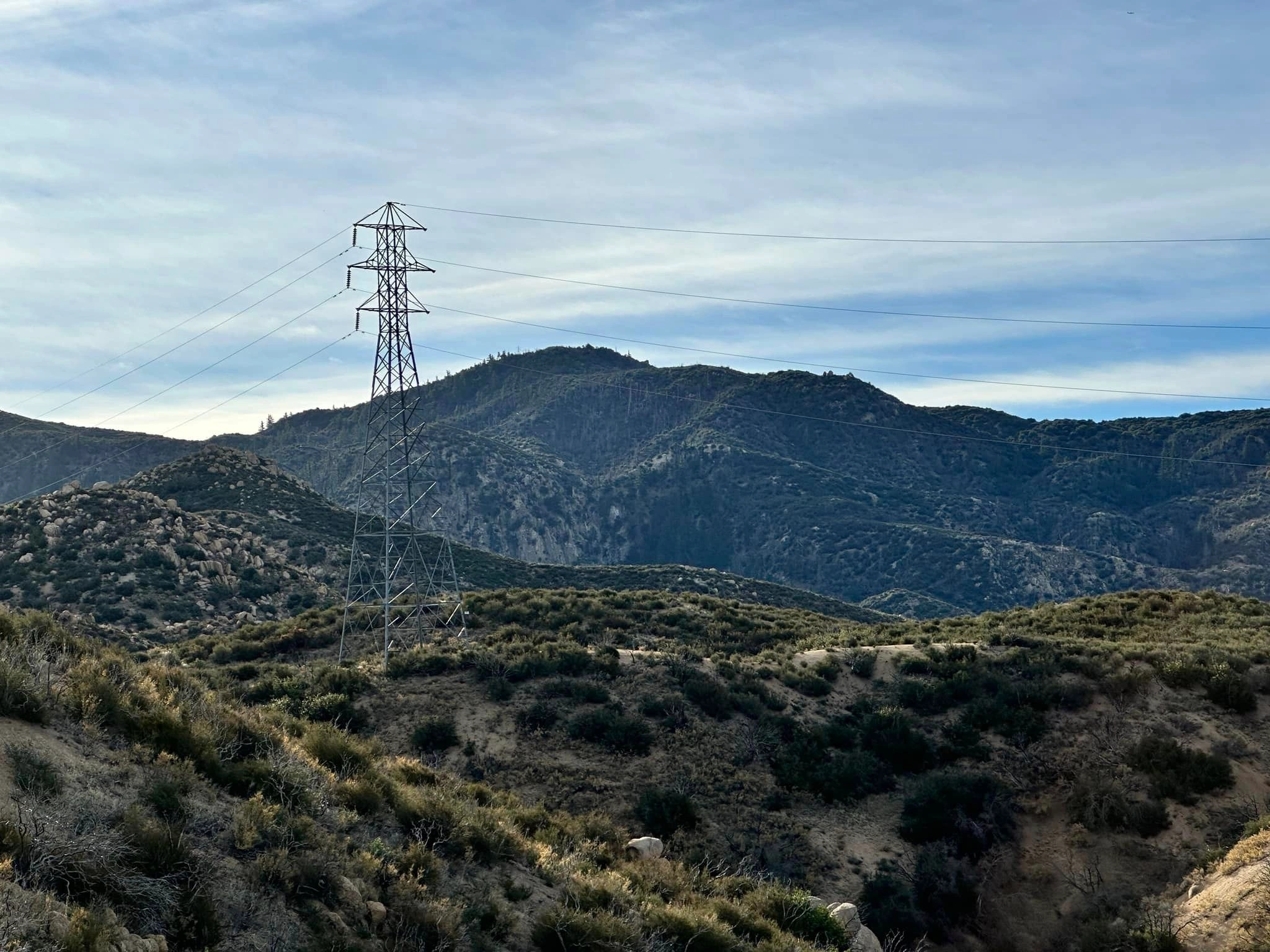
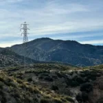
Follow a usually ducked route up the gully, heading generally north through boulders until west of bump 5398′.
Ascend the sometimes brushy ridgeline northwest to the summit, which is the farthest north of the rocky outcrops.