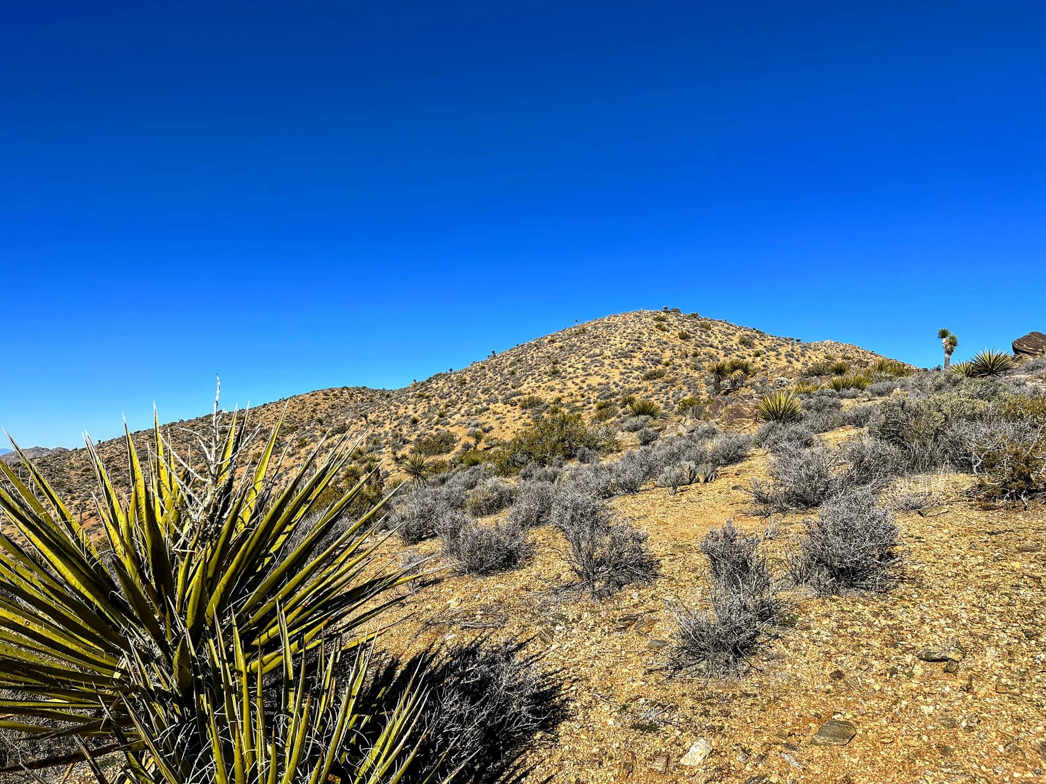
Peak Name
Elevation
feet
Status
Region
Range
Nearby peaks
Location
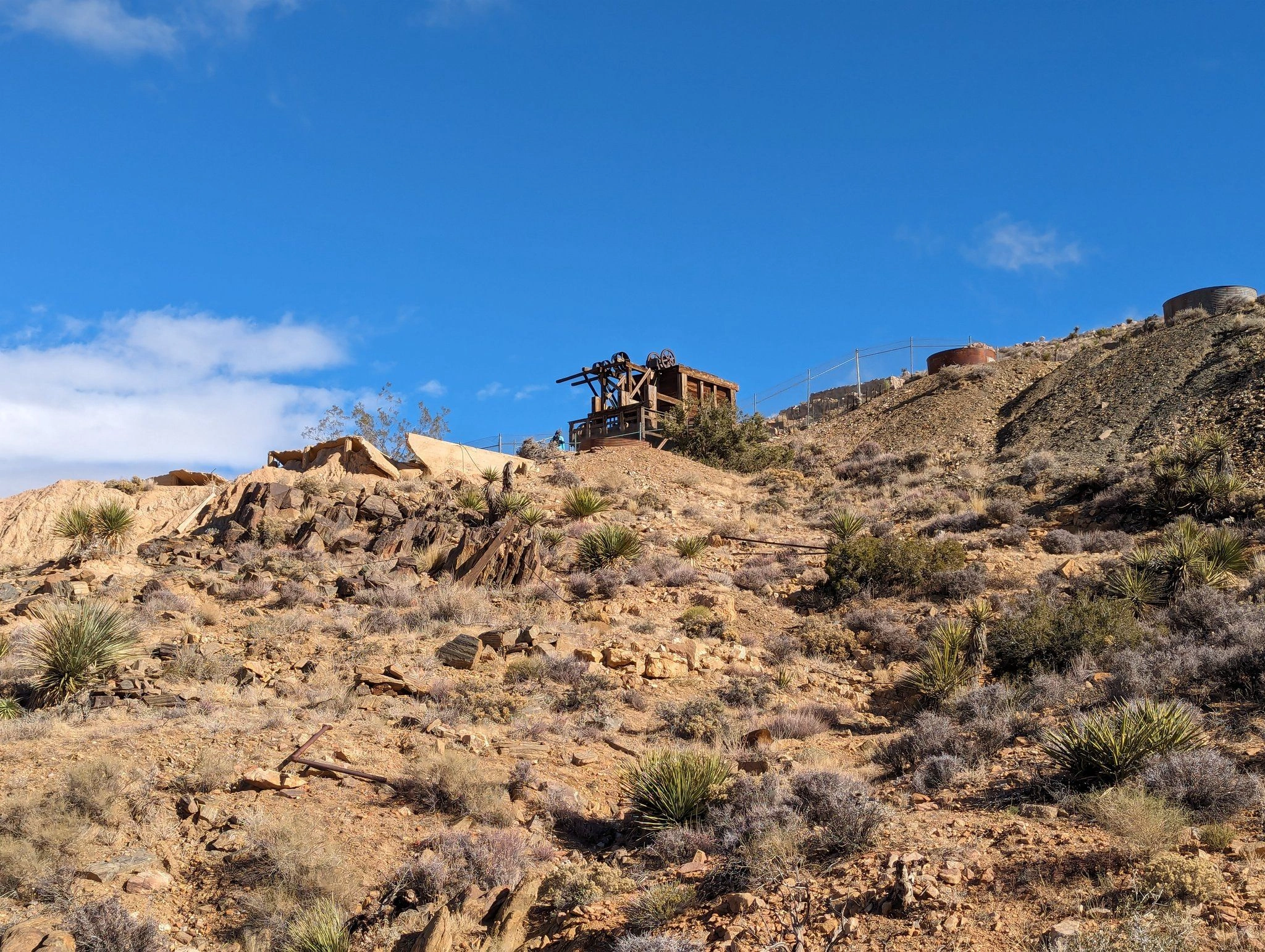
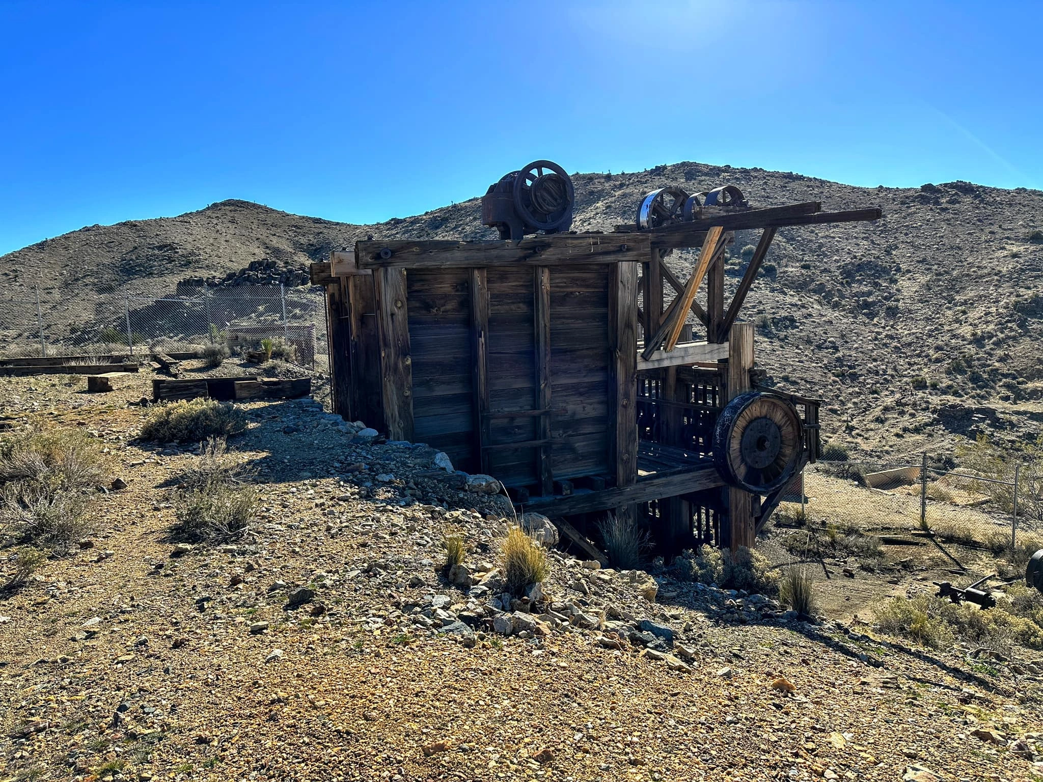
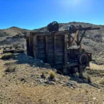
Lost Horse Mountain is named after the Lost Horse Mine, at one time owned by Johnny Lang and J.D. Ryan, whose stamp mill is one of the best preserved in the national park system and deserves a visit if you are hiking Routes 1 or 2. The mine is in turn named after Johnny Lang’s horse, stolen by horse thieves. More of its interesting history is recounted at the summit history link.
There are numerous routes and interesting route variations. Route 1 starts from the Lost Horse parking area and follows the Lost Horse Trail through a scenic and easy wash before passing the Lost Horse Mine and ascending the peak’s northeast ridge. Route 2 starts from the summit of Ryan Mountain, descends south over bumps and ridges to trails, posts, and pipelines before joining Route 1. Route 3 starts to the west and climbs a beautiful garden-like gully to the summit plateau. One excellent variations is to take the Lost Horse Trail, which makes a full loop around the formation, south to join Route 3, then returning on Route 1. One can also hike from Ryan Campground on the California Riding and Hiking Trail to join Route 2.
Maps generated from CalTopo.com, reproduced with permission
Driving route
Take I-10 east past Banning to the intersection with SR 62.
Go north on SR 62 to Park Road in the town of Joshua Tree with a sign “Joshua Tree National Park”. Turn right.
Drive 16 miles on this road to the intersection with the Keys View Road. Turn right.
Continue 2.5 miles farther to the Lost Horse Mine Road on the left. Turn left.
Drive this road southeast, 1.0 mile to its end at a parking lot at a locked gate. Park here.
Hiking route
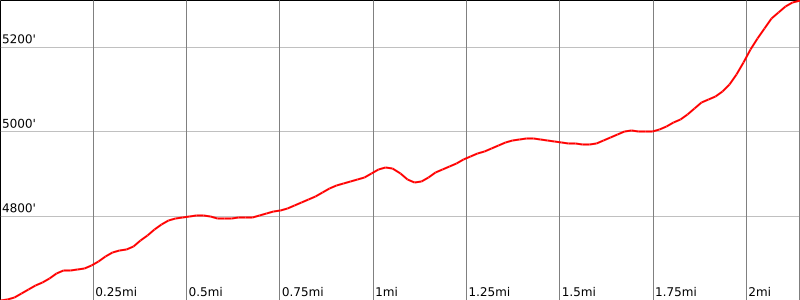
From the parking area (4,580′), pass the gate and hike east up a wash about 100′ to a sign “Trail”.
Turn left and follow the trail, actually an old road, to where it goes up a gully below the Lost Horse Mine building, and comes out on a saddle south-southeast of the mine.
Here, leave the road and go up the ridge to the right (southwest) to the summit.
National Park Service entrance fee is required.
Driving route
See directions for Ryan Mountain.
Hiking route
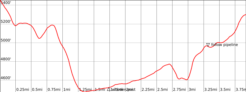
From the top of Ryan Mountain (see Ryan Mountain guide), follow the ridge south and then southwest over bump 5280′.
Continue south to bump 5194′.
From bump 5194′, hike down the steep ridge south to the California Riding and Hiking Trail.
Turn left (southeast) and hike up this trail for about 0.6 mile until the trail turns east at saddle 4550′. You will see a wash on your right (south). There is also a wooden sign here.
Turn right (south) and follow the wash south till it ends.
Continue south up a slope. You will see an old pipeline.
Follow the pipeline south down into a gully and then up to Lost Horse Mine.
From the mine, walk south to the Lost Horse Mine Trail, turn left (east) and proceed as in Route 1.
Either return the way you came or walk out to the Lost Horse parking lot (requires a car shuttle).
Route Notes
From Ryan Mountain. National Park Service entrance fee is required.
Note: One can avoid the saddle at 4760′ by walking around the southern bump. This will only save about 20′ of elevation gain and will result in an extra 1/4 mile of walking distance.
Driving route
Take I-10 east past Banning to the intersection with SR 62.
Go north on SR 62 to Park Road in the town of Joshua Tree with a sign “Joshua Tree National Park”. Turn right.
Drive 16 miles on this road to the intersection with the Keys View Road. Turn right.
Continue 4.3 miles (1.8 miles past the Lost Horse Mine Road) to a parking turnout on the left.
Park here. Room for 3 to 4 vehicles.
Hiking route
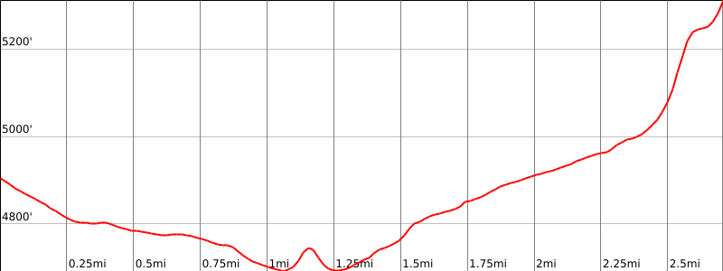
From the parking area (4850′), walk back down the paved road for about 1/4 mile.
Leave the road on the right and proceed east for 0.9 miles to a shallow saddle at 4760′.
From this shallow saddle, drop down 60′ to a wash at 4700′.
In the wash, turn right and proceed 100 meters to a large gully.
Go east up this gully to a plateau at 5000′ that is about 0.5 miles west of the summit.
Continue east for 0.4 miles to the summit plateau at 5280′.
Turn right (SE) and proceed about 50 meters to the summit.
Note: One can avoid the saddle at 4760′ by walking around the southern bump. This will only save about 20′ of elevation gain and will result in an extra 1/4 mile of hiking distance.
Notes: One can avoid the saddle at 4760′ by walking around the southern bump. This will only save about 20′ of elevation gain and will result in an extra 1/4 mile of hiking distance. National Park Service entrance fee.
Additional Peak Information
Alternate routes: A nice alternate route is from the parking area for route 1 to begin the Lost Horse Mine Loop counterclockwise for 1.25 miles then ascend a large prominent gully (Route 3) to the southwest ridge of Lost Horse.
Notes: The restored buildings of the Lost Horse Mine add a point of interest to this hike. The old stamp mill is fenced off due to an accident in the early 1990’s.
The region consists of open desert terrain, so many cross-country routes are possible. The peak has been climbed from Malapai Hill on the east and also by following the pipeline that connects Ryan Campground on the north with the Lost Horse Mine.


You must be logged in to upload images.