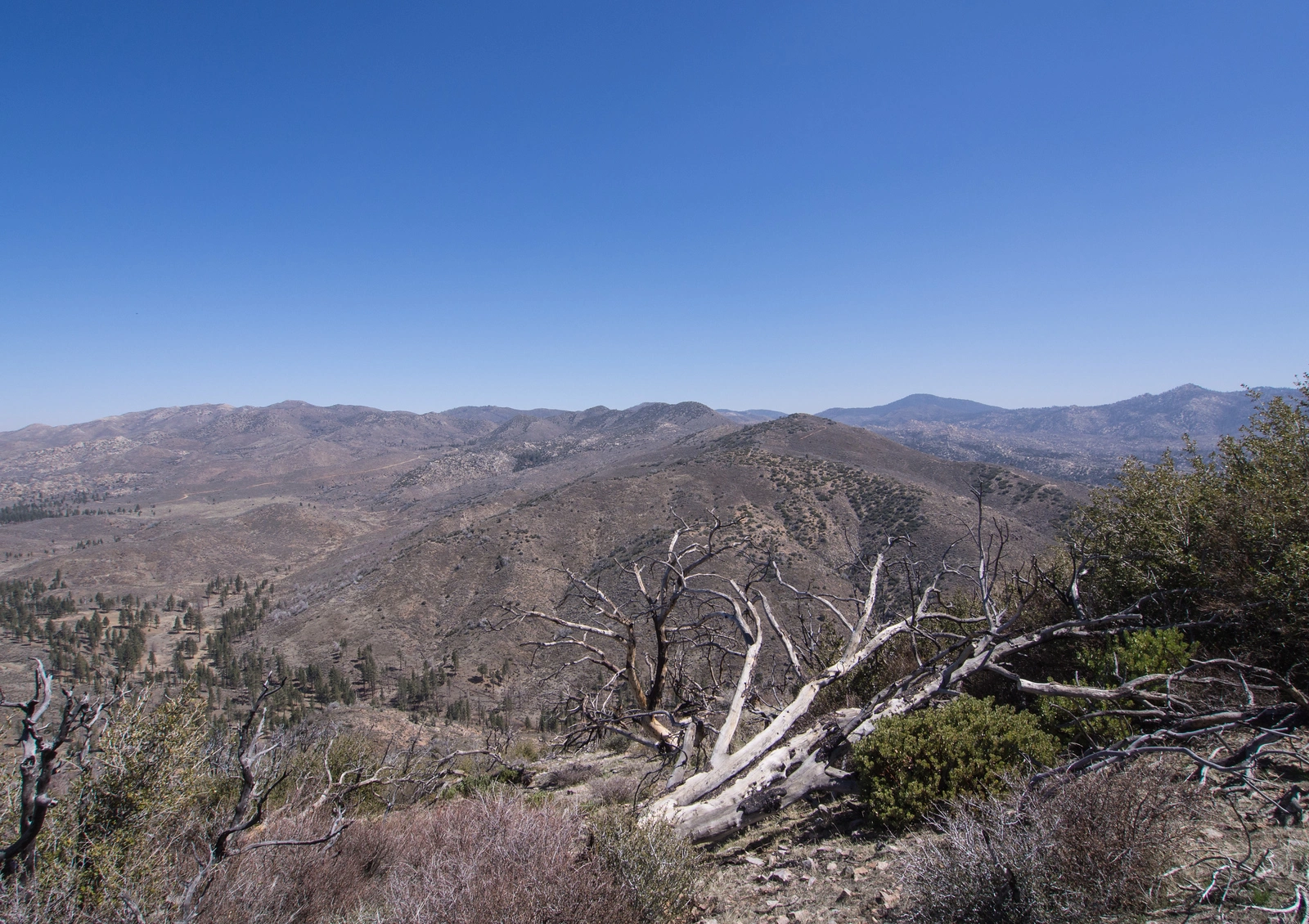
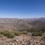
Hawes, taken from Little Shay, photo by Kathy Wing
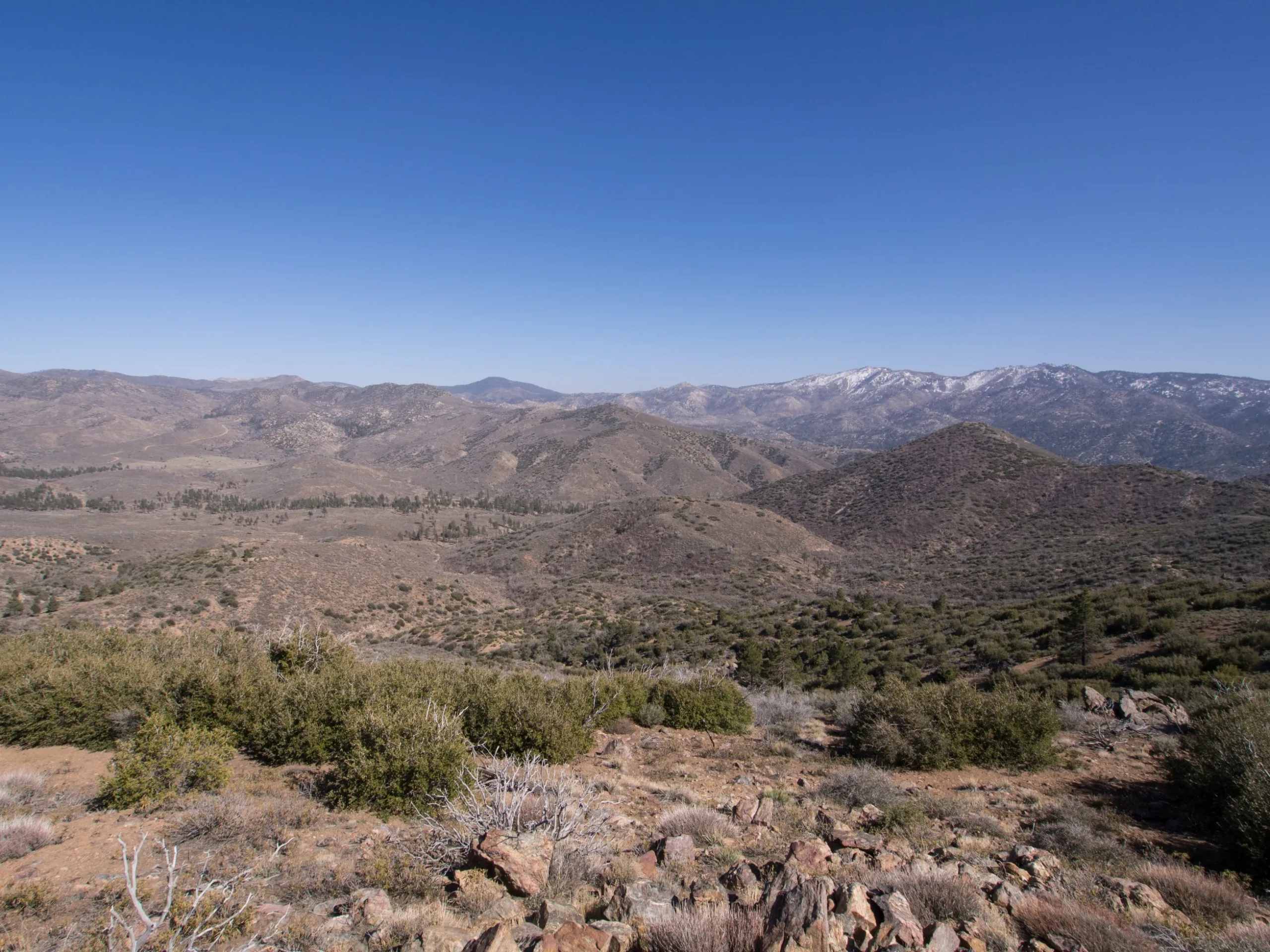
Hawes, taken from Shay, photo by Kathy Wing
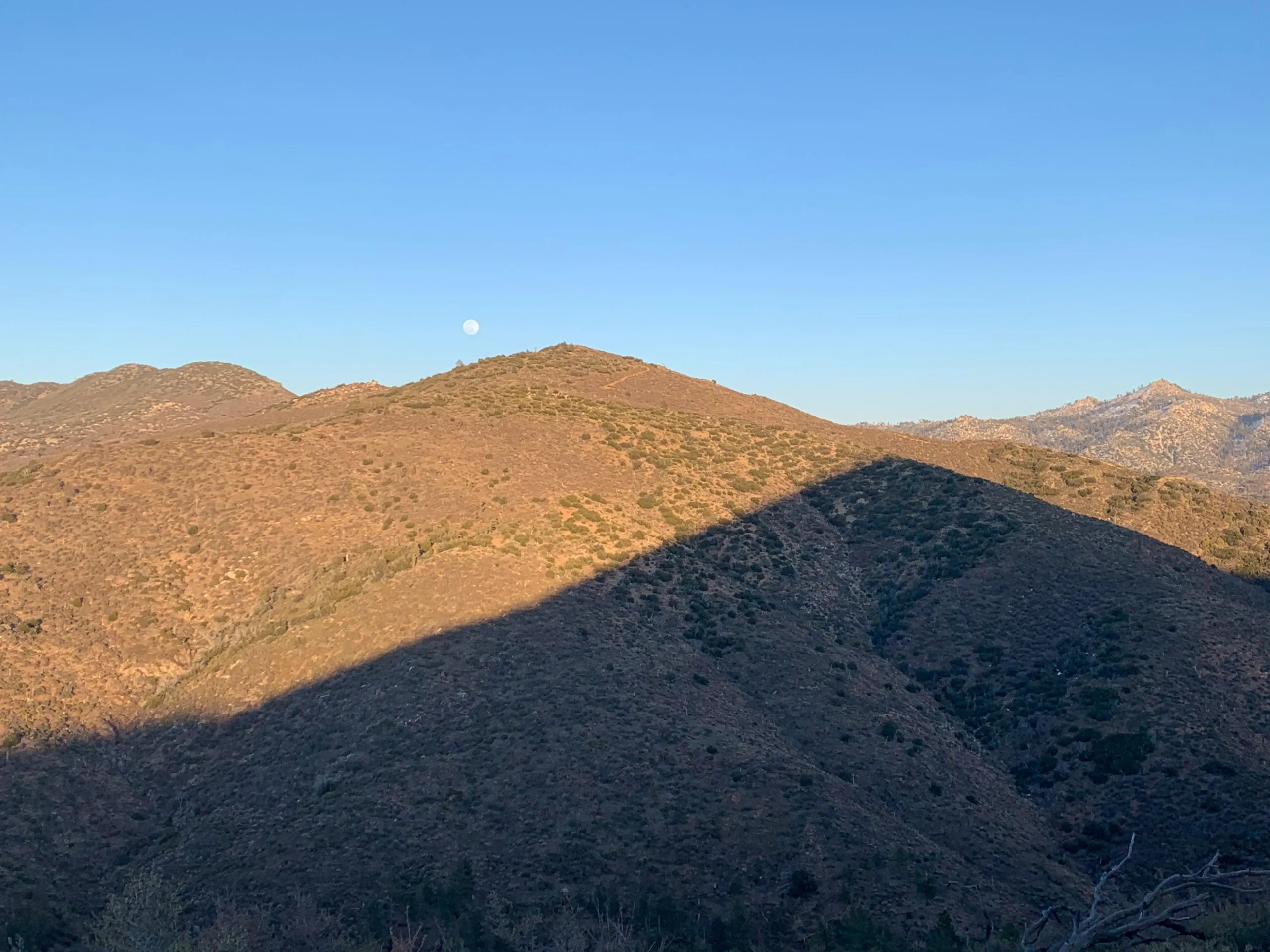
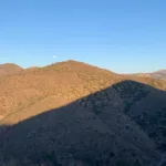
Hawes shadowofLittleShay, photo by Sharon Moore


Peakbagger.com

Nearest ranger station

NOAA Forecast

Google Earth


