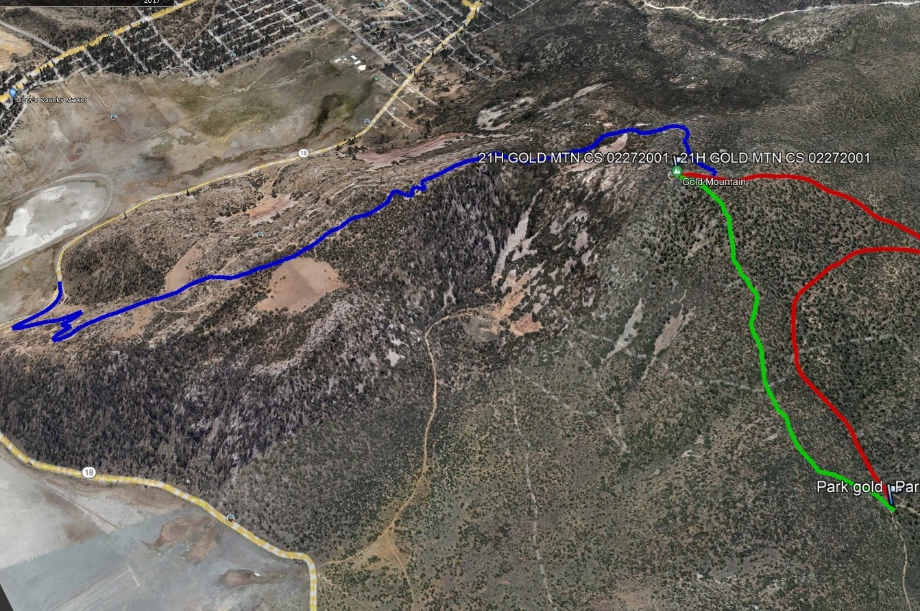
Gold Mountain, photo by Google Earth
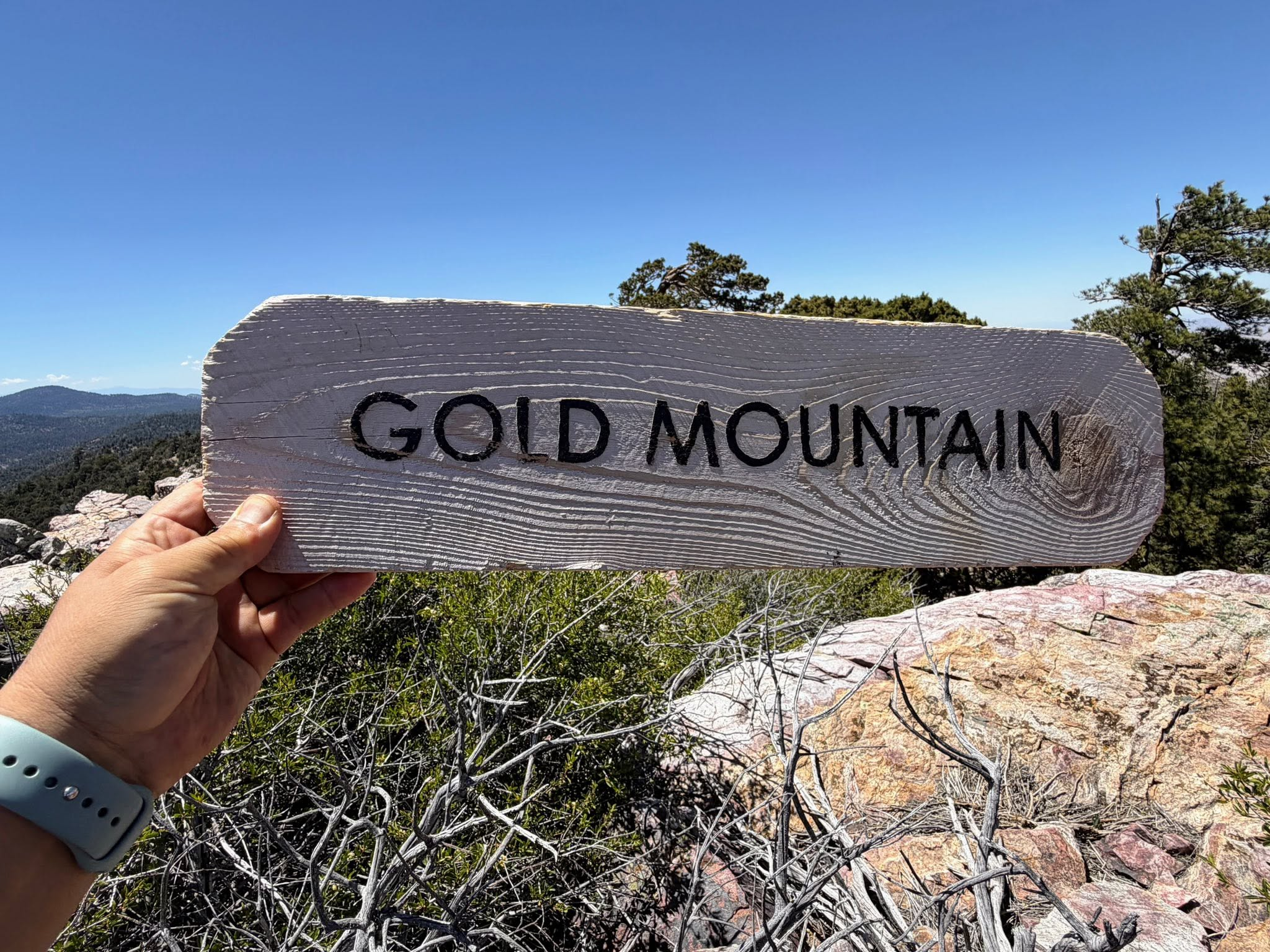
Yes, this is Gold Mountain, photo by Sunny Yi


Peakbagger.com

Nearest ranger station

NOAA Forecast

Google Earth


