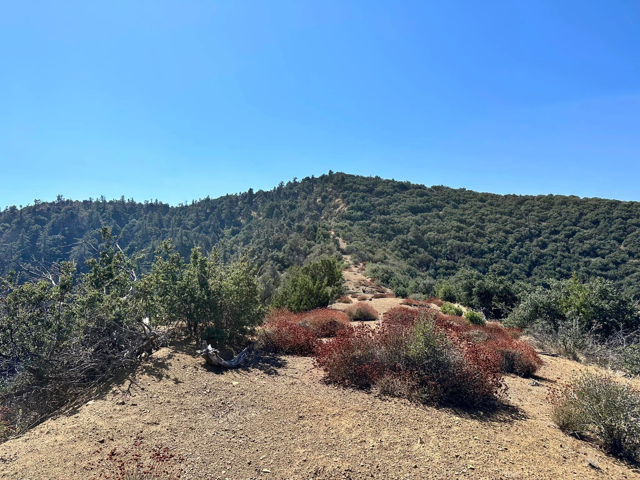
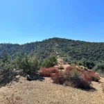
Fox Mountain #1 Near Summit, photo by Sunny Yi
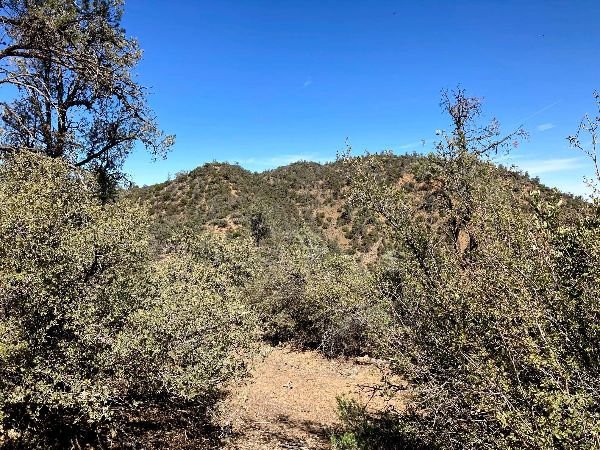
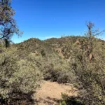
Fox Mountain #1, photo by Mike Maki
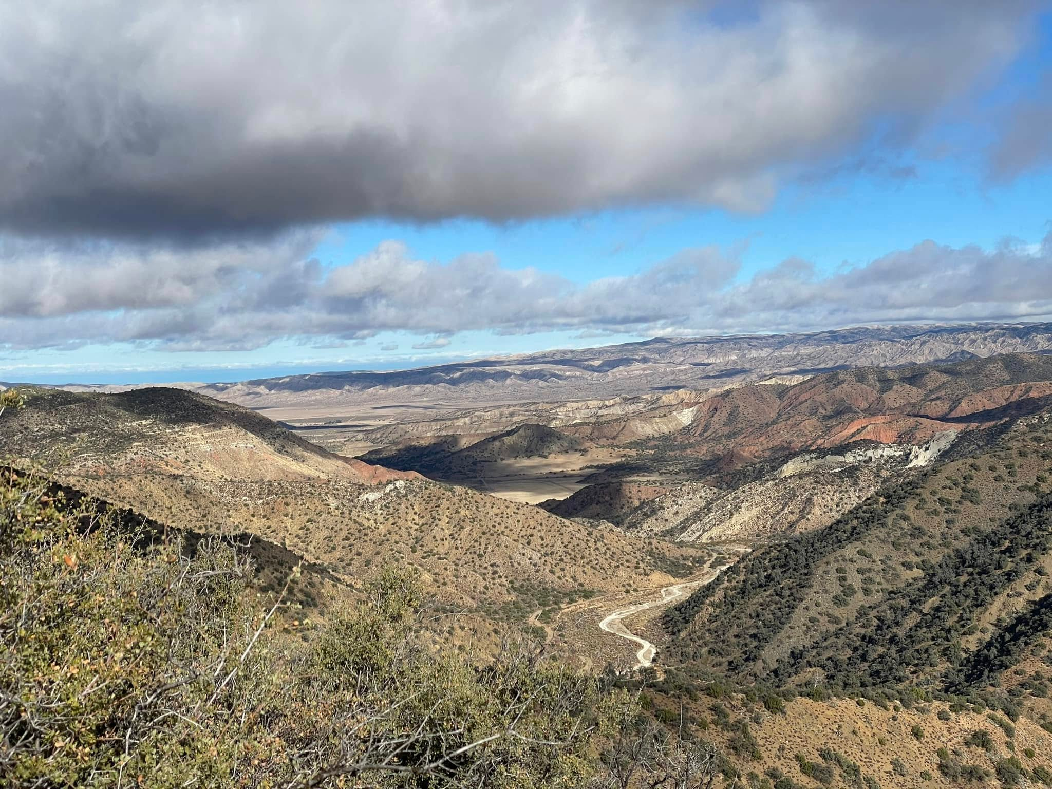
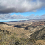
View from the summit of Fox Mountain #1, photo by John Martin
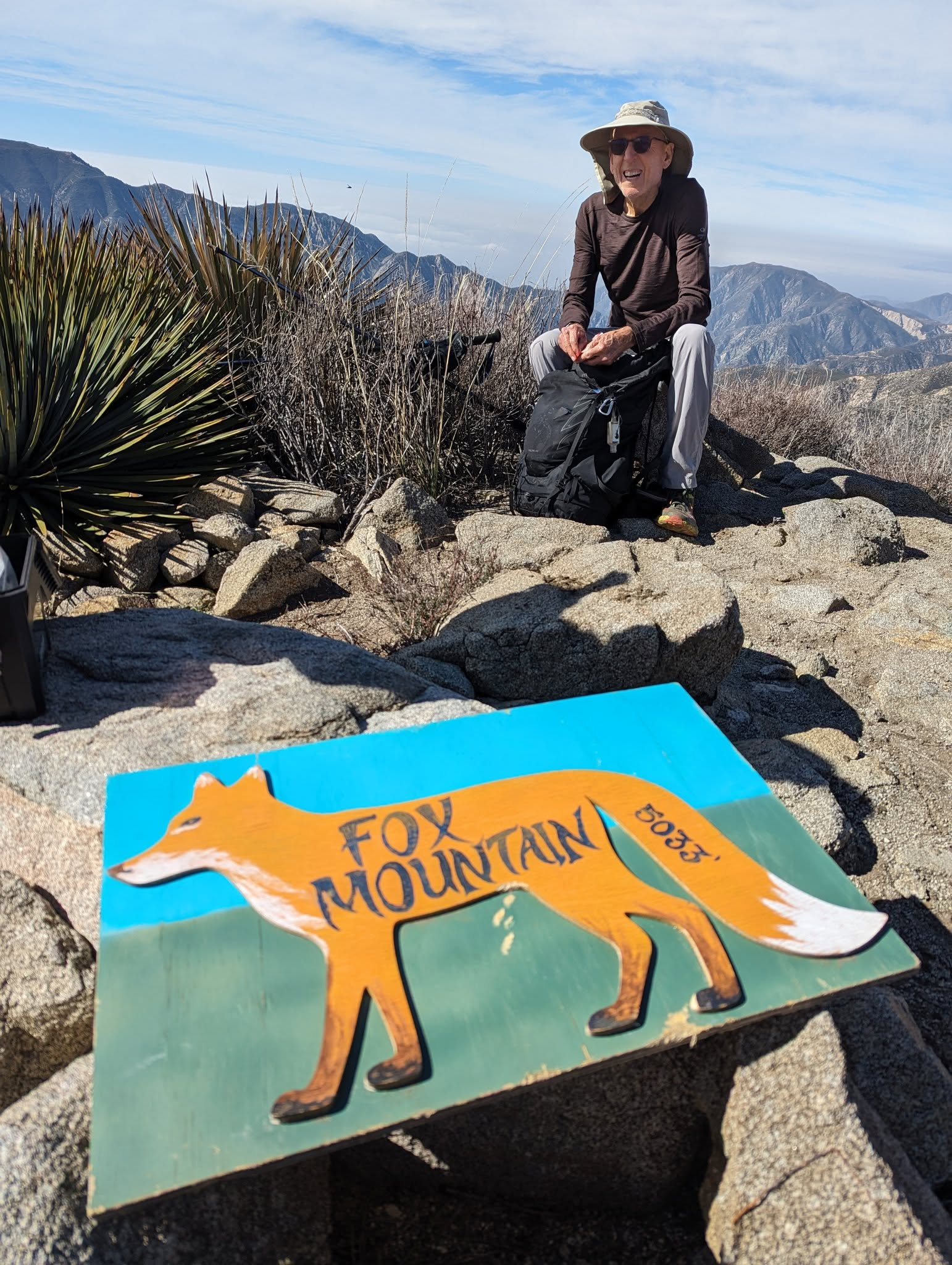
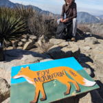
Hand painted summit sign on Fox Mountain #1, with Bill Simpson. Photo by Anjna Bhagvanjee


Peakbagger.com

Nearest ranger station

NOAA Forecast

Google Earth


