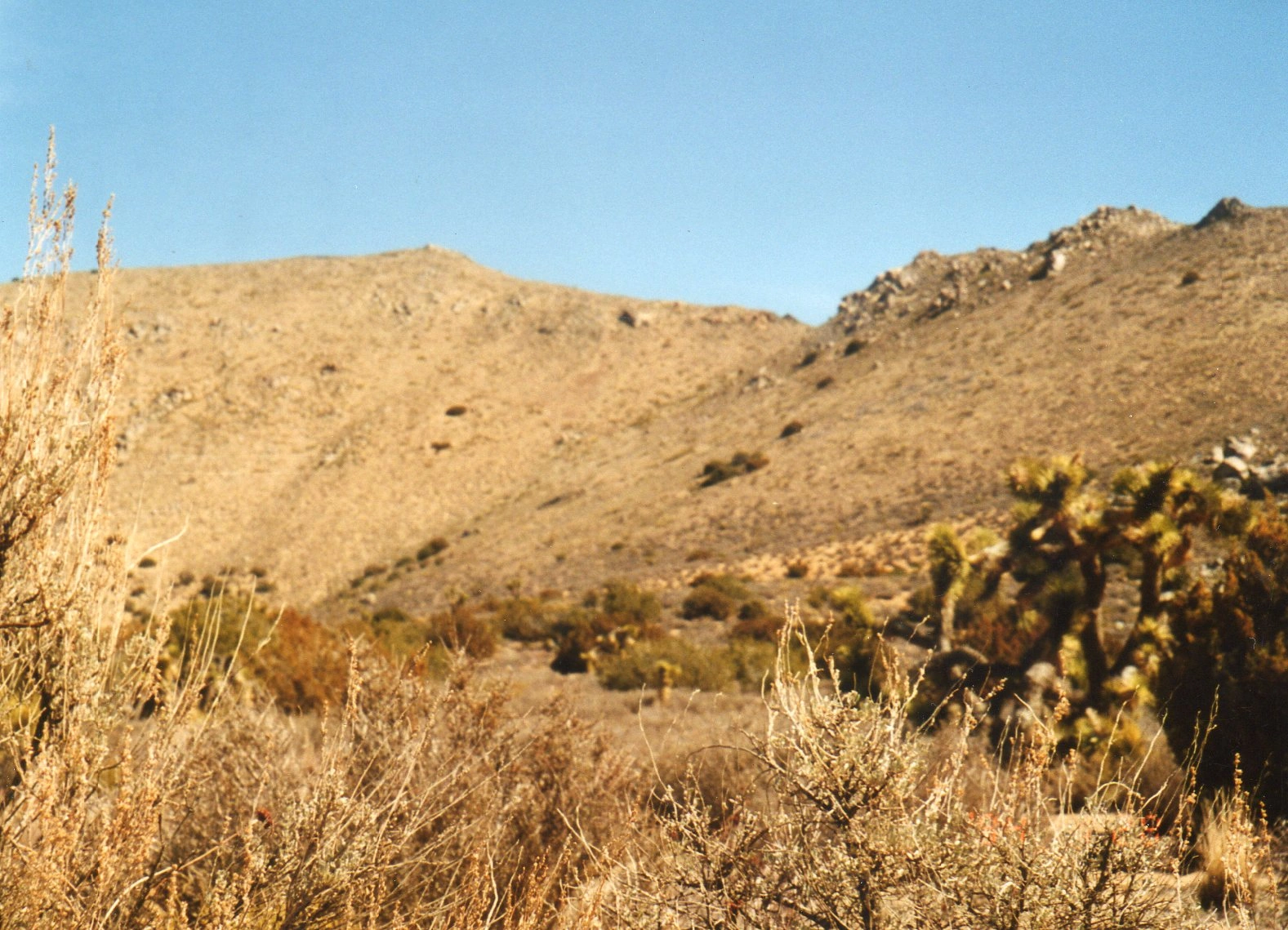
Butterbredt, photo by Janet Howell
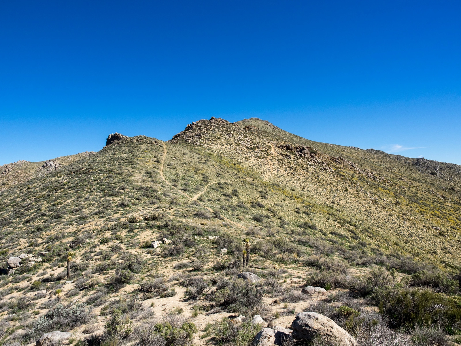
Butterbredt, photo by Kathy Wing


Peakbagger.com

Nearest ranger station

NOAA Forecast

Google Earth


