Peak Name
Elevation
feet
Status
Region
Range
Nearby peaks
Location
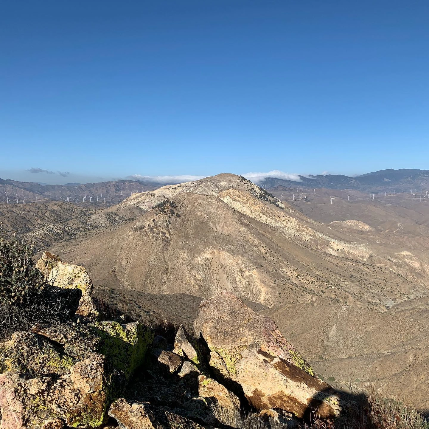
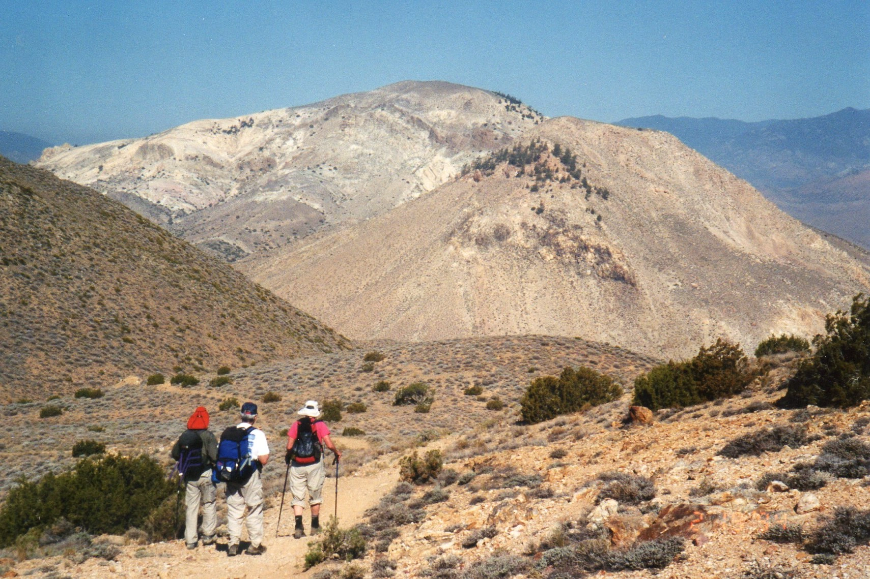
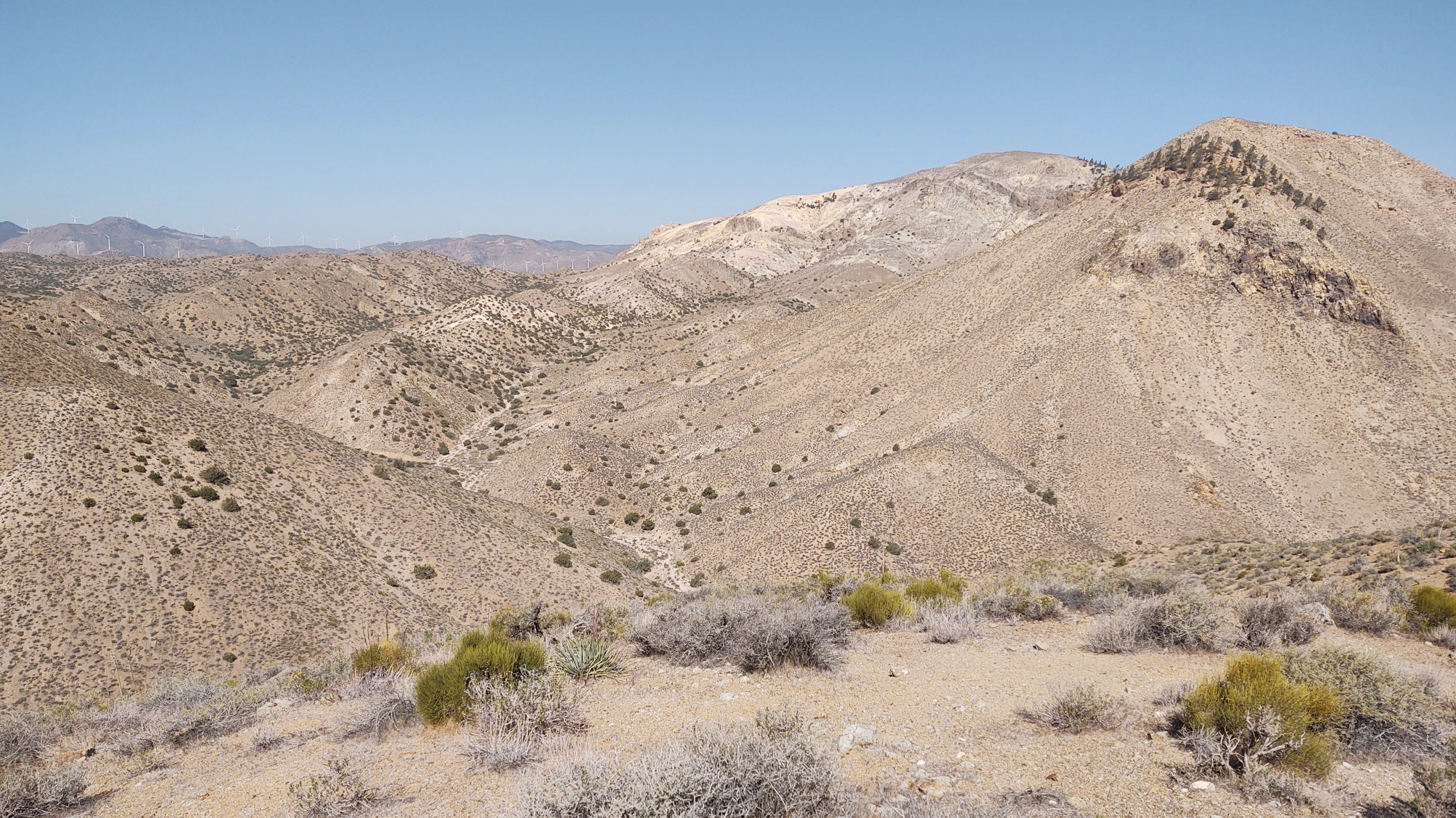
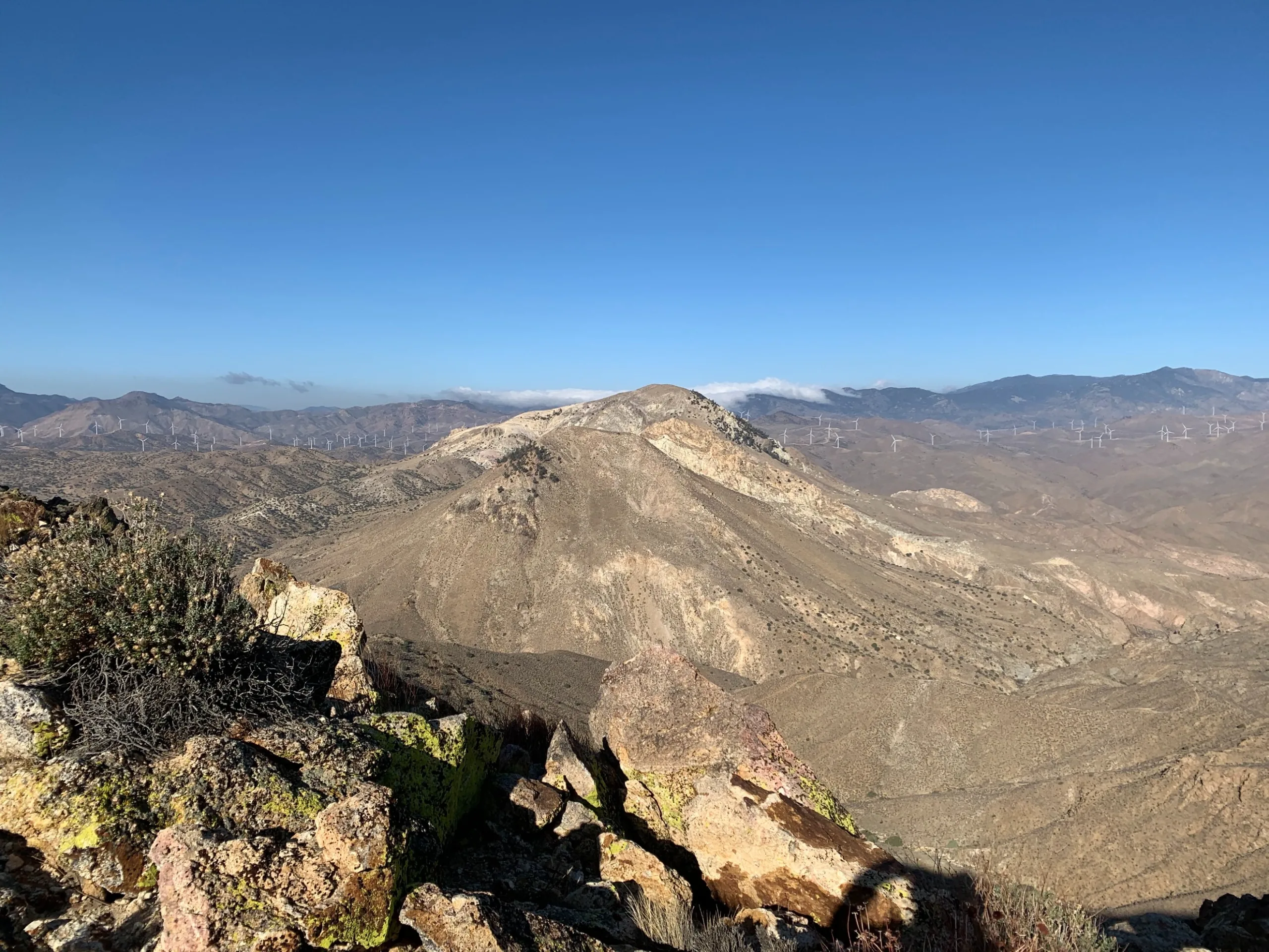
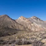
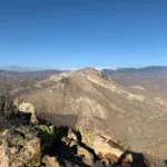
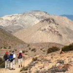
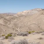
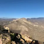
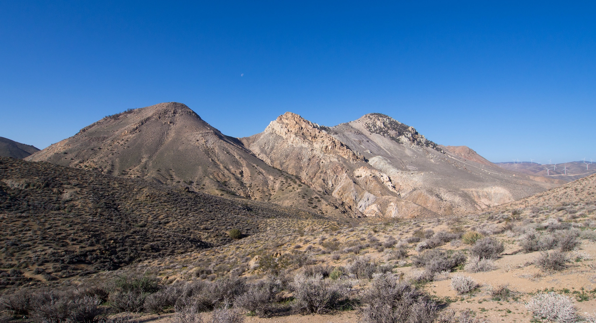
Cross Mountain and its neighbor Chuckwalla Mountain arise dramatically from the desert, dominating the Kelso Valley and Jawbone Canyon. The peak can be hiked from Jawbone Canyon Road (see note below) or from Chuckwalla Mountain. You will pass interesting cliff walls and the changing colors of the nearby mountain slopes. There are superb views of our Southern Sierras and the high desert. Cross and Chuckwalla are often climbed together in a strenuous loop hike.
Maps generated from CalTopo.com, reproduced with permission
Driving route
From Mojave, drive north on SR 14 for 19.5 miles to Jawbone Canyon Road on the left. Turn left. Note your odometer and go as follows:
At 4.1 miles, pavement ends.
At 6.3 miles, fork with a gated road to the left. Park here.
Hiking route
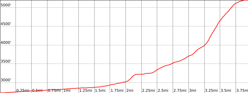
From the parking area (2700′), hike past the gate (you may need to climb over the gate) for 1.6 miles, passing a fork left at 0.4 mile and some wrecked cars at 1.0 mile to a second fork to the left (south) at 2876′.
Turn left. The road starts up a wash and then immediately turns and goes up a ridge. Follow the road to its end at a large boulder.
Then turn left and go up to the top of the ridge to the shallow saddle at 4300′.
Turn right and go up the ridge, keeping right to avoid some of the scree.
Continue on to the summit.
Note: This route is not recommended until access on BLM property is resolved (May 2021). The gate remains locked and security patrol advises hikers that this is private property. BLM property is open to the public, but negotiating the private vs BLM parcels is potentially difficult.
Driving route
See the Chuckwalla Mountain guide.
Hiking route
From the summit of Chuckwalla Mountain, hike down the trail for Route 1 for Chuckwalla Mountain to the flat area just below the mine prospect.
From here, follow a motorcycle track southwest down into the saddle northeast of elevation 4616′.
Turn left at this saddle and follow a motorcycle track up to bump 4616′, then turn right at a track running northwest generally down the point of the ridge to the gully.
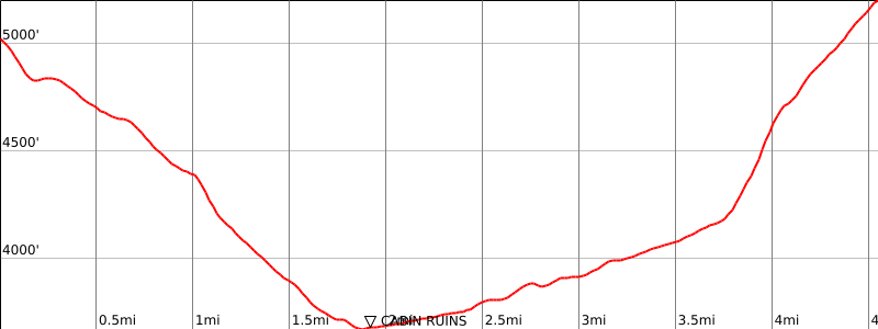
Follow this down to an old cabin and auto body in the streambed at the bottom of the canyon (shown on the Cinco topo).
Turn left and go up the canyon following a motorcycle track. Note carefully the prominent rounded bump 4762′ on your right that is east of the very rocky subsidiary peak 4784′ of Cross Mountain. When directly south of bump 4762′, the canyon floor splits into a west and southwest branch.
Take the southwest branch, which turns first west and then gradually northwest to a saddle at 4200’+.
Just before this saddle turn right onto a motorcycle track that continues all of the way to the summit.
Route Notes
Note: From Chuckwall Mountain route 2 to add Cross Mountain and back is 11 miles round trip and 5200′ gain. Cross route 1 and chickwalla route 2 can be combined in a loop which is 12 miles with 4200′ gain.


You must be logged in to upload images.