Bare Mountain

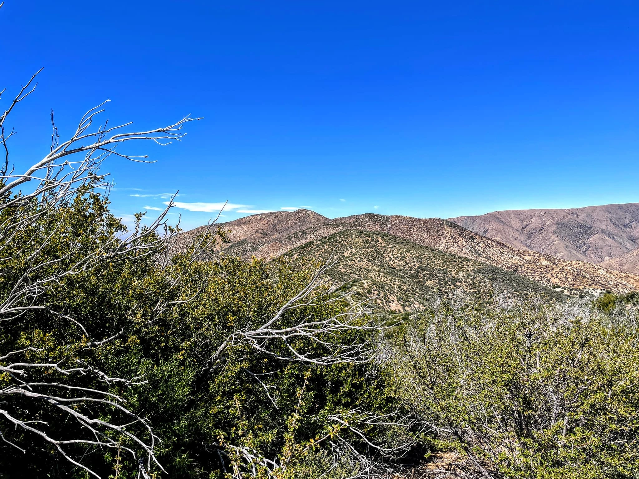
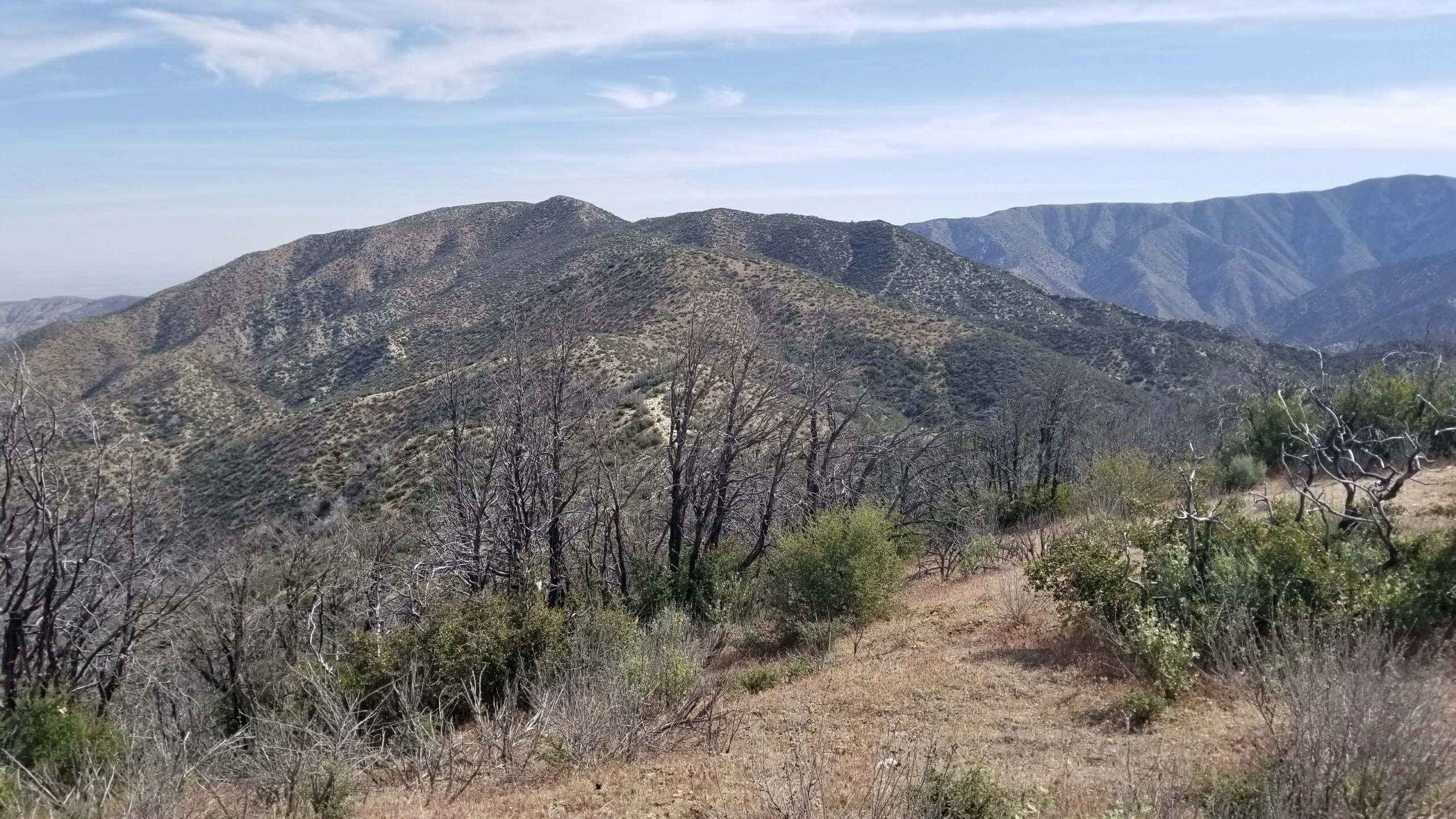
Bare Mountain, taken from the south, Photo by Chris Waldheim.

Peak Name

Bare Mountain
10D

Elevation

6388

 feet

Status

active

Region

Pacifico Mountain Area

Range

San Gabriel Mountains

Location

34.398053,-117.9914562

Description

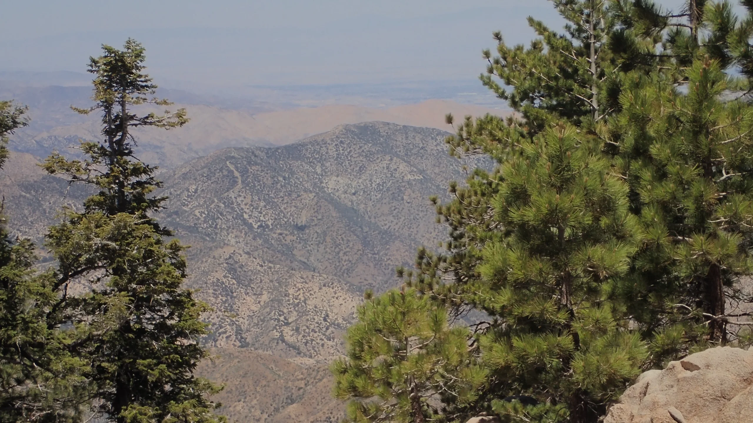
Though Bare Mountain’s sparse chaparral-covered summit is distinct from the surrounding pine forest, it is not without its charms. The hike is pretty in the spring, and it has marvelous views of the Mojave desert to the north, Pacifico to the west, and Pleasant View Ridge, Waterman, Hillyer and Wilson to the east and south.
Both routes start at Pinyon Flats near Sulphur Springs Campground on the PCT, which is reached from Angeles Crest Highway. Route 1 follows a ridge over several smaller peaks. Route 2 follows the road then ascends a firebreak.


Maps generated from CalTopo.com, reproduced with permission

Route 1
Elevation Gain
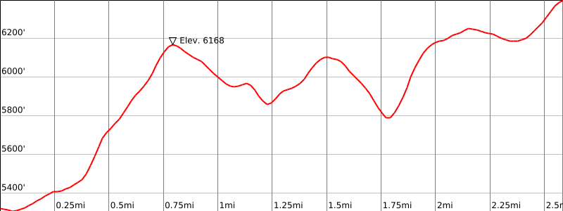
2600′ total, 1800′ out plus 800′ on return
Navigation Difficulty
Moderate
Distance
6 miles round trip on trail, cross-country, and firebreak
Estimated time
4-5 hours round trip
Route Rating
Class 1, moderate
Leader Rating Required
“I”, normal conditions

Driving route

From the intersection of I-210 and Angeles Crest Highway (SR 2), drive north on Angeles Crest Highway 28.2 miles to Sulphur Springs Road on the left. At this junction (also known as Three Points) turn left. Note your odometer and go as follows:
At 2.8 miles, a parking area on the left side of the road. This is the parking spot for Mount Hillyer. Continue straight.
At 3.9 miles, Alder Saddle and a fork. This is the turnoff for Pacifico Mountain. Go right on 5N04.
At 4.9 miles, a parking area on the right. Park here.

Hiking route

From the parking area (5380′), walk back on the road about 100 yards to the Pacific Crest Trail (PCT).
Take the PCT west for about 1/8 mile to the beginning of a shallow saddle.
Just before the shallow saddle, leave the trail and head north, crossing a gully and meeting a ridge.
Hike north up the ridge to its top at bump 6168′, marked by a large triangular marker post.
From bump 6168′ turn northeast and follow a firebreak over several bumps until you reach the main north-south Bare Mountain firebreak, marked by another large triangular marker post.
Turn north on the main ridge until you reach the summit.

Route Notes

Printable Route

Road Type

Paved

Google Maps Link to Trailhead 

Route 2
Elevation Gain
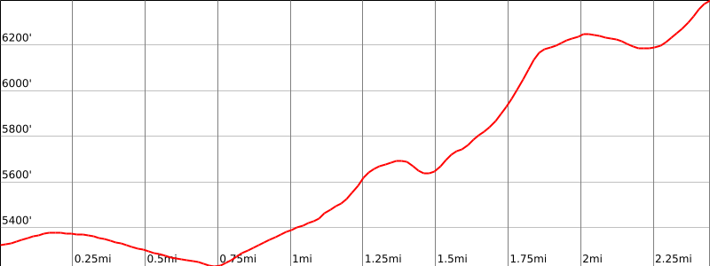
1800′ total, 1400′ out plus 400′ on return
Navigation Difficulty
Easy
Distance
5 miles round trip on road and firebreak
Estimated time
3 hours round trip
Route Rating
Class 1, moderate
Leader Rating Required
“O”, normal conditions

Driving route

From the intersection of I-210 and Angeles Crest Highway (SR 2), drive north on Angeles Crest Highway 28.2 miles to Sulphur Springs Road on the left. At this junction (also known as Three Points) turn left. Note your odometer and go as follows:
At 2.8 miles, a parking area on the left side of the road. This is the parking spot for Mount Hillyer. Continue straight.
At 3.9 miles, Alder Saddle and a fork. This is the turnoff for Pacifico Mountain. Go right on 5N04.
At 5.0 miles, a parking area on the right. Park here. This parking area is just after the turnoff to Sulphur Spring, misspelled “Sulpher Springs” by USFS, and just before the Forest Service gate closure.

Hiking route

From the parking area (5380′), walk past the uphill gate over a ridge and then gently downhill about 5/8 mile. The downhill gate (which may be open) leads to the Sulphur Springs Campground.
As you reach the downhill section of the road, a well defined firebreak can be seen straight ahead on the ridge.
At the 5/8 mile point, at a small hollow (with a berm on the left topped with large rocks), take the use trail on the left (NE) over the debris from the old firing range.
Pass a well ventilated water heater, a small wash, and choose your own route up hill to the previously observed fire break.
Continue NNW then N on the fire break until you reach the summit.

Route Notes

Printable Route

Road Type

Paved

Google Maps Link to Trailhead 

Additional Peak Information

Alternate routes: It is possible to hike from Pacifico Mountain along its northeast ridge to Bare Mountain along the ridges connecting them.

Special conditions: Travel to Bare Mountain from Little Rock Creek is not recommended due to endangered species habitat considerations.

The area is popular with deer hunters. The season begins the 2nd Saturday in October and runs for 30 days.

Nearby Peaks

Backus Peak
Owens Peak
Black Mountain #5
Morris Peak

External Links

mountain 1

Peakbagger.com

Click Here

ranger-tower 1

Nearest ranger station

Click Here

g311

NOAA Forecast

Click Here

worldwide 1

Google Earth

Click Here

Photo Gallery