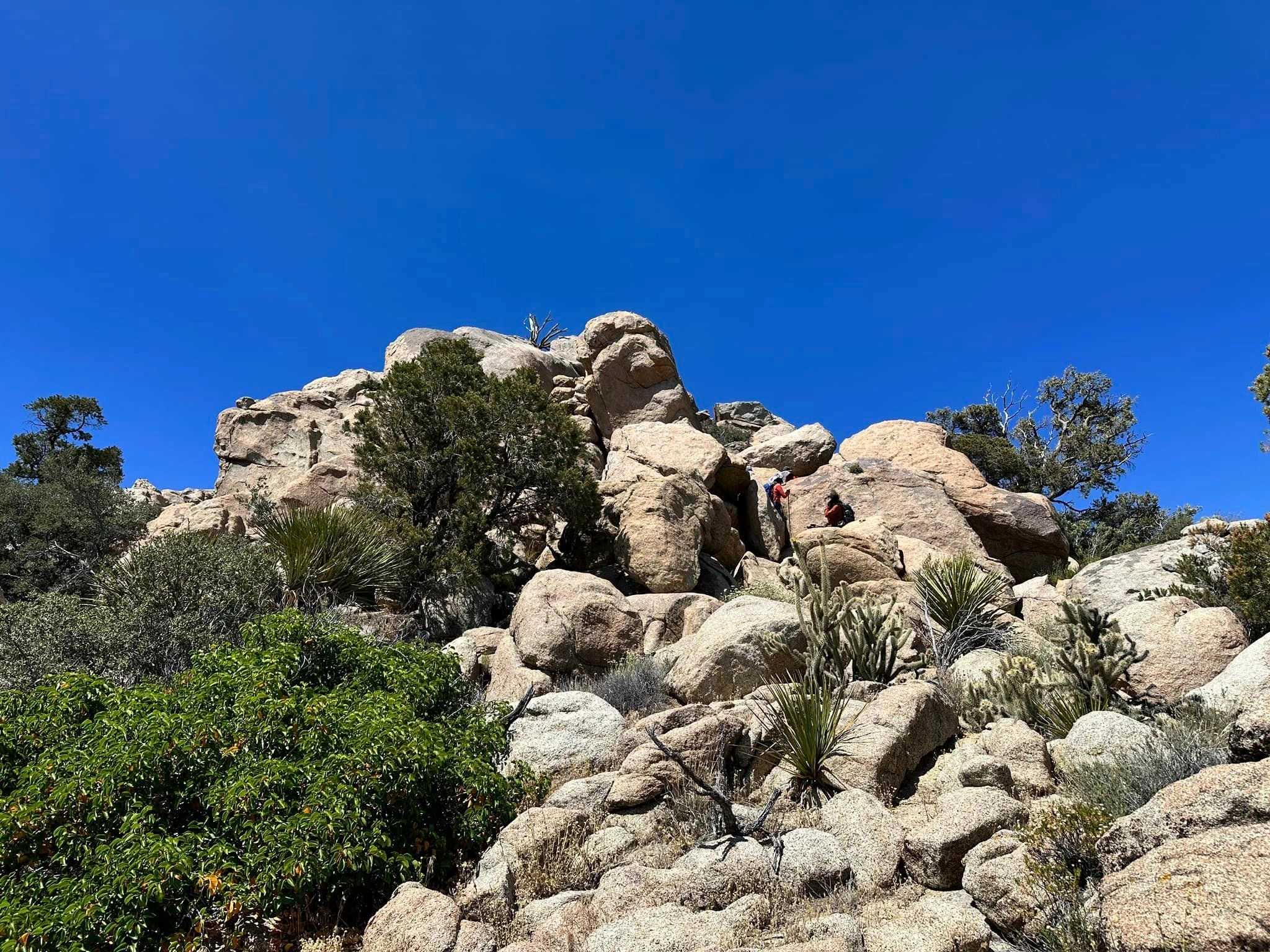
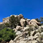
Asbestos Summit Block, photo by Sunny Yi
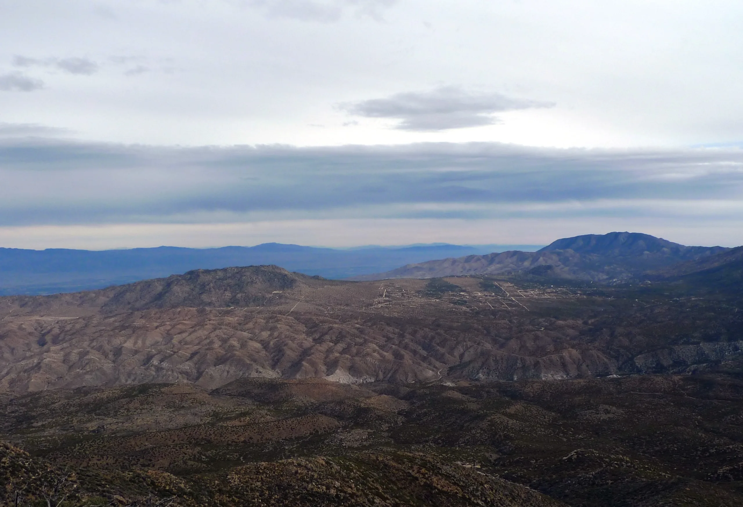
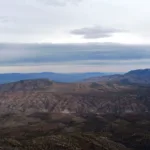
Asbestos Mountain in the Distance with Martinez Mountain Beyond, photo by Kathy Wing
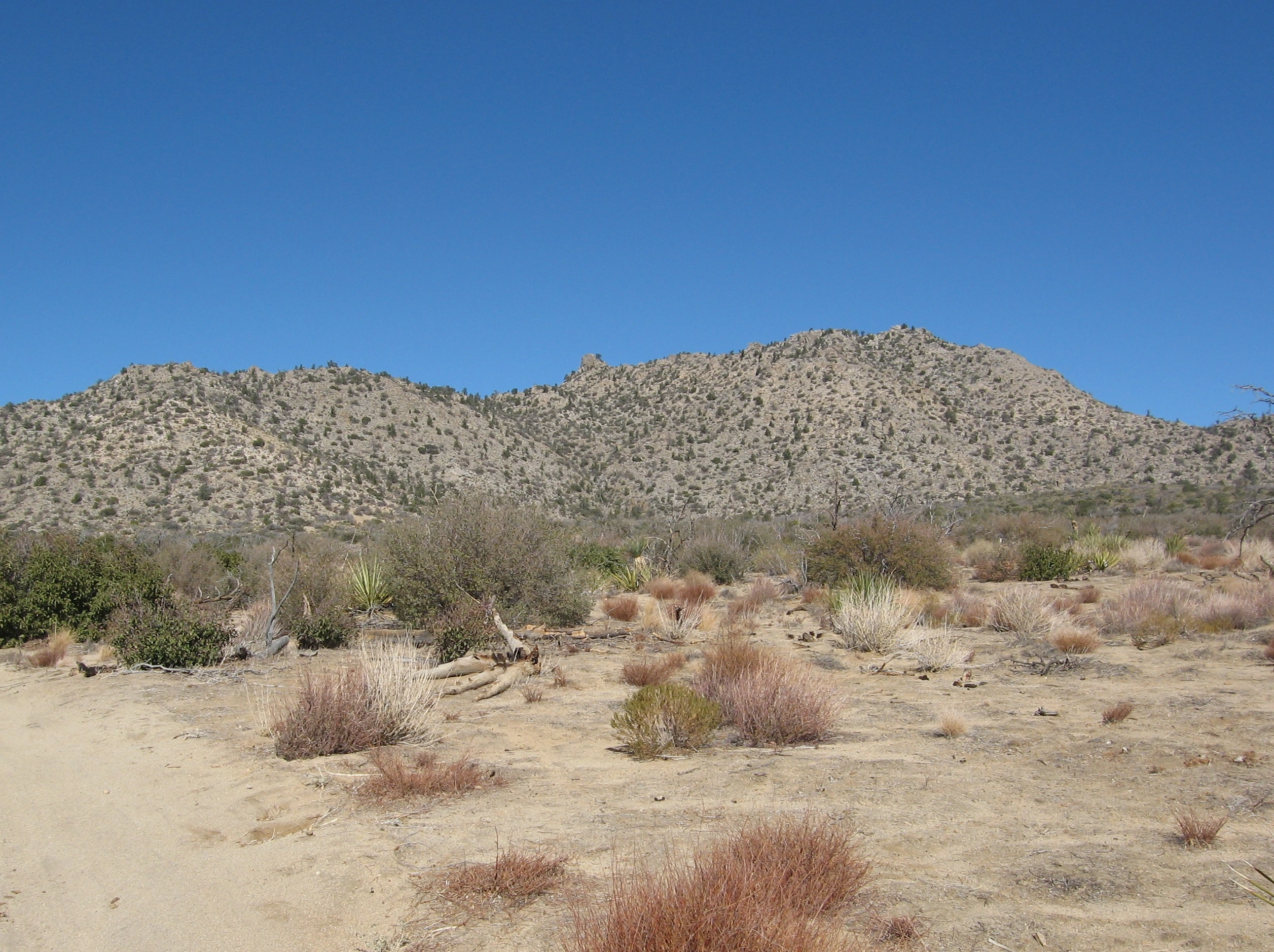
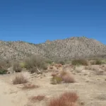
Asbestos Mountain, photo by Kathy Wing
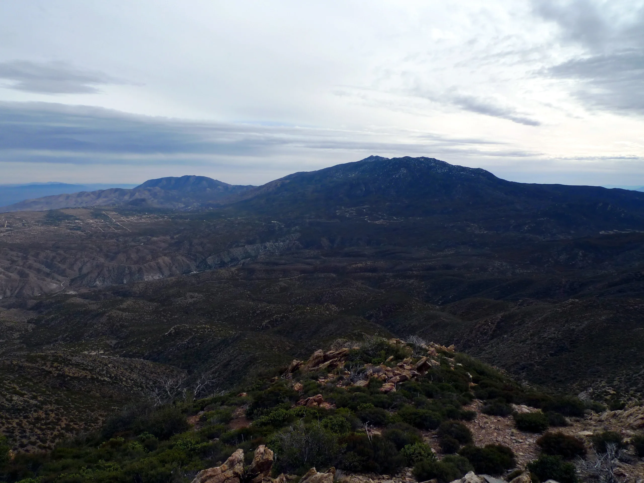
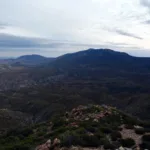
Martinez Mountain, Toro, Santa Rosa, photo by Kathy Wing


Peakbagger.com

Nearest ranger station

NOAA Forecast

Google Earth


