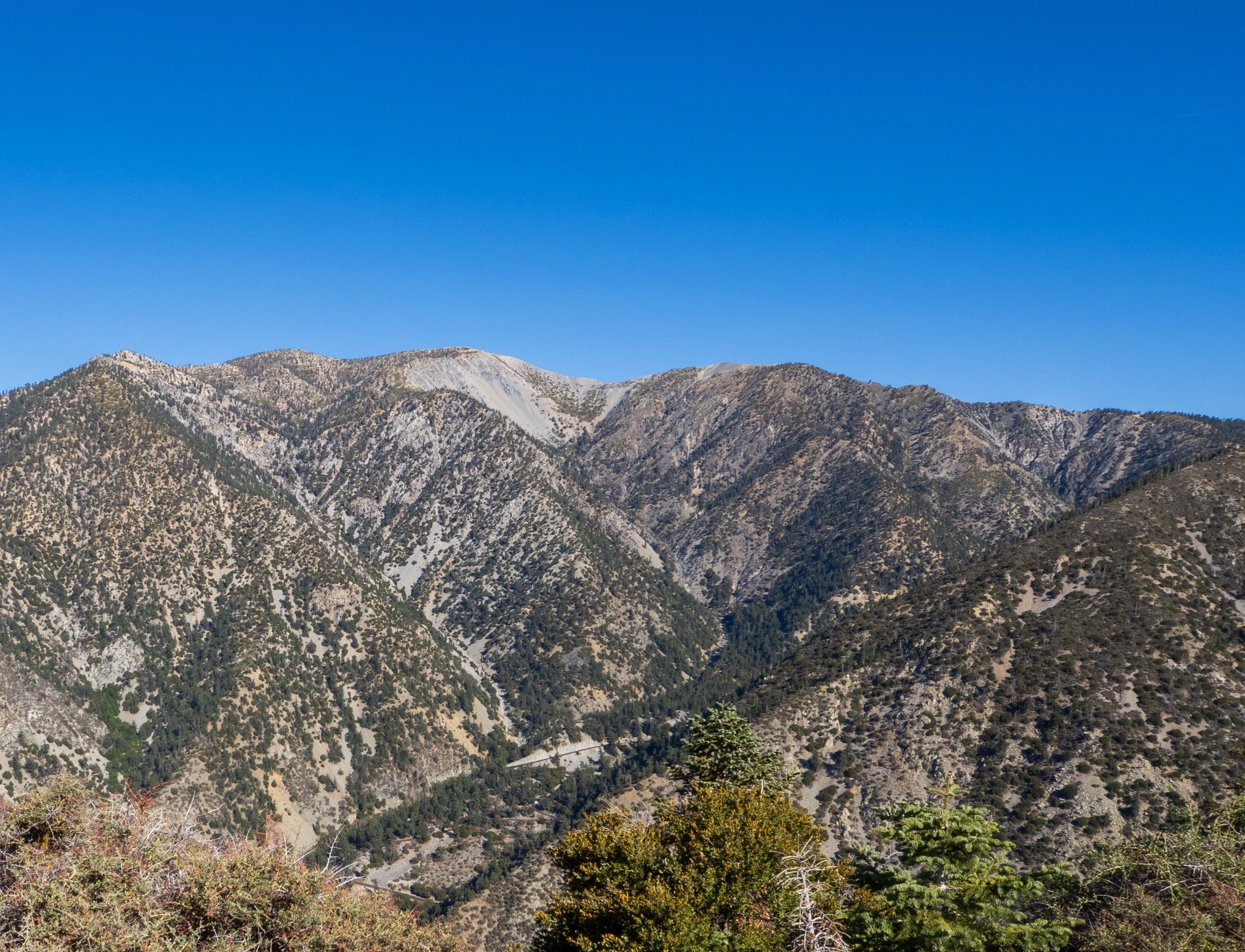
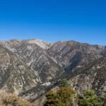
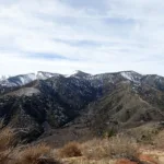
West Baldy, Baldy and Harwood, taken from Sugarloaf, photo by Kathy Wing
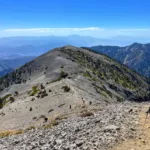
Harwood, taken from Baldy, photo by Sunny Yi
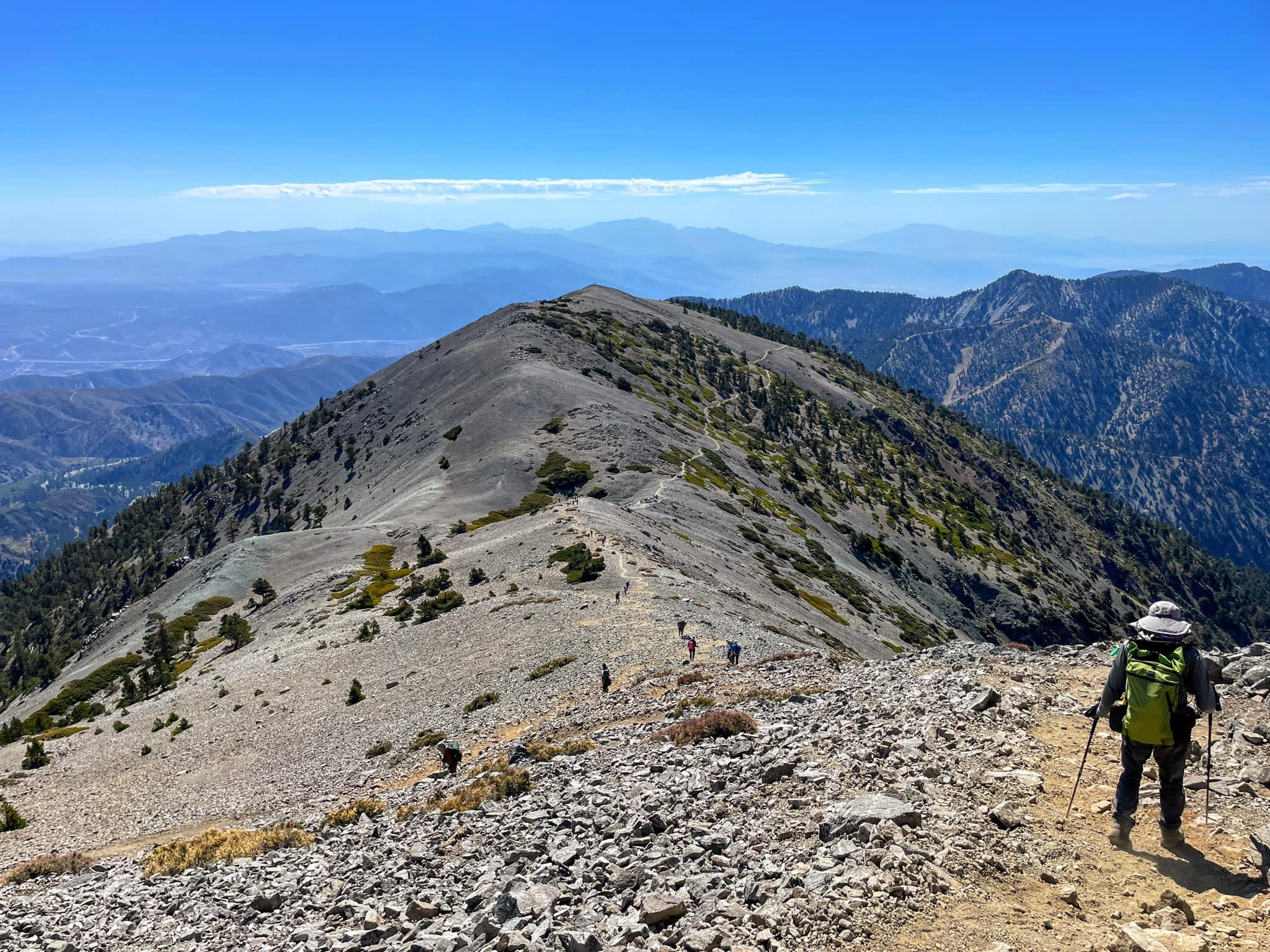
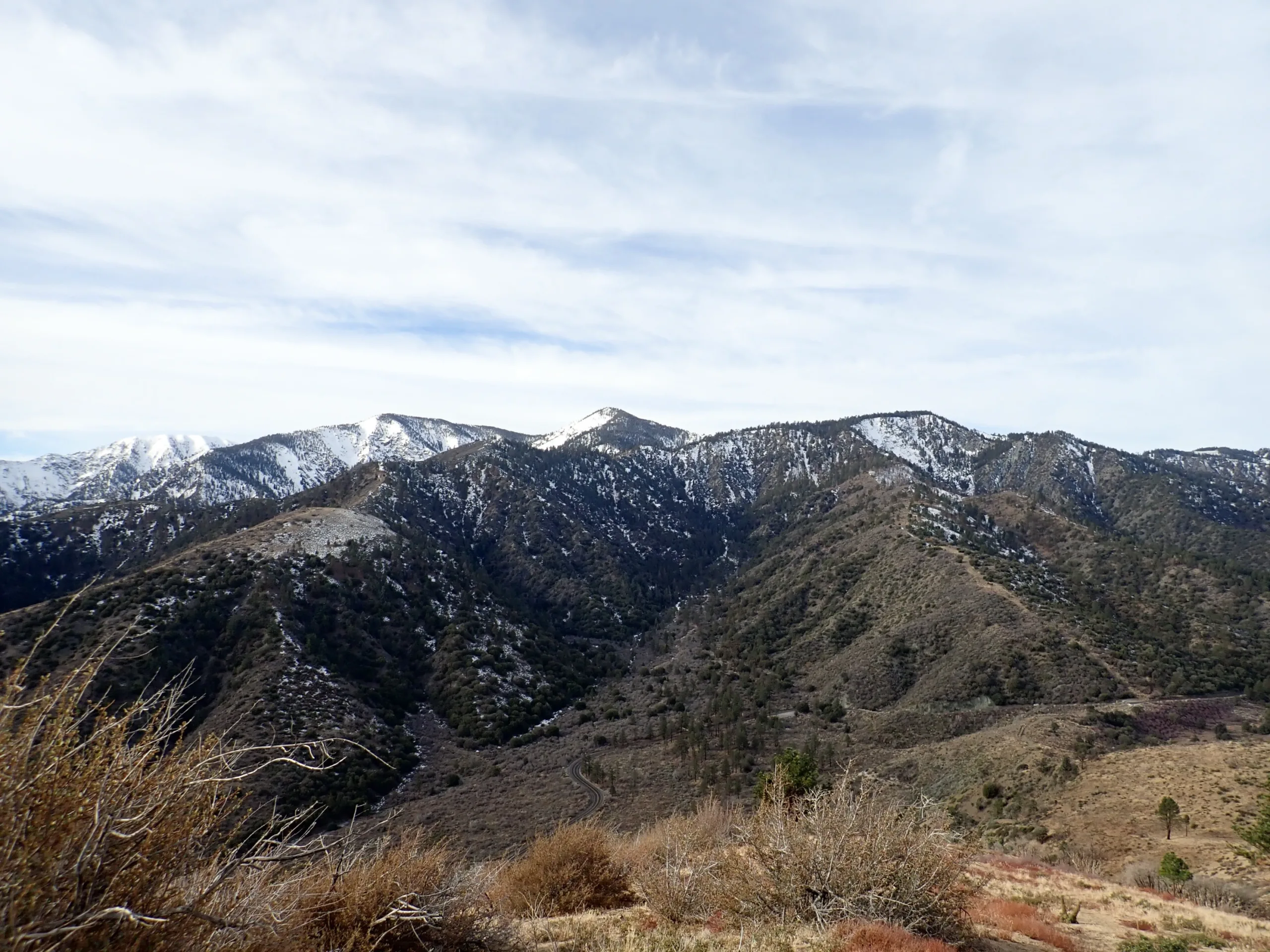
Harwood, taken from Manker Trail, photo by Chris Waldheim
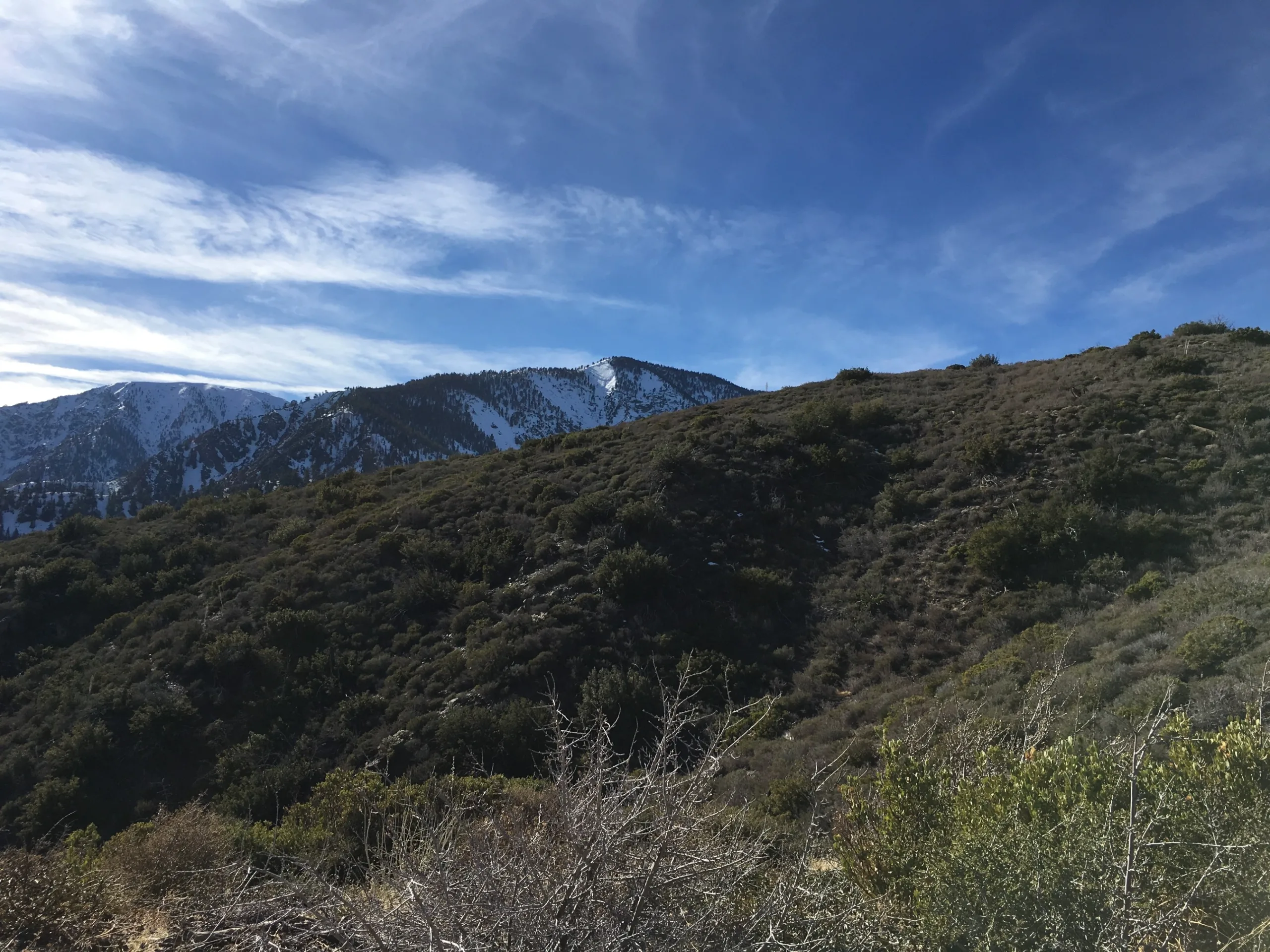
Harwood, photo by Steve Russell
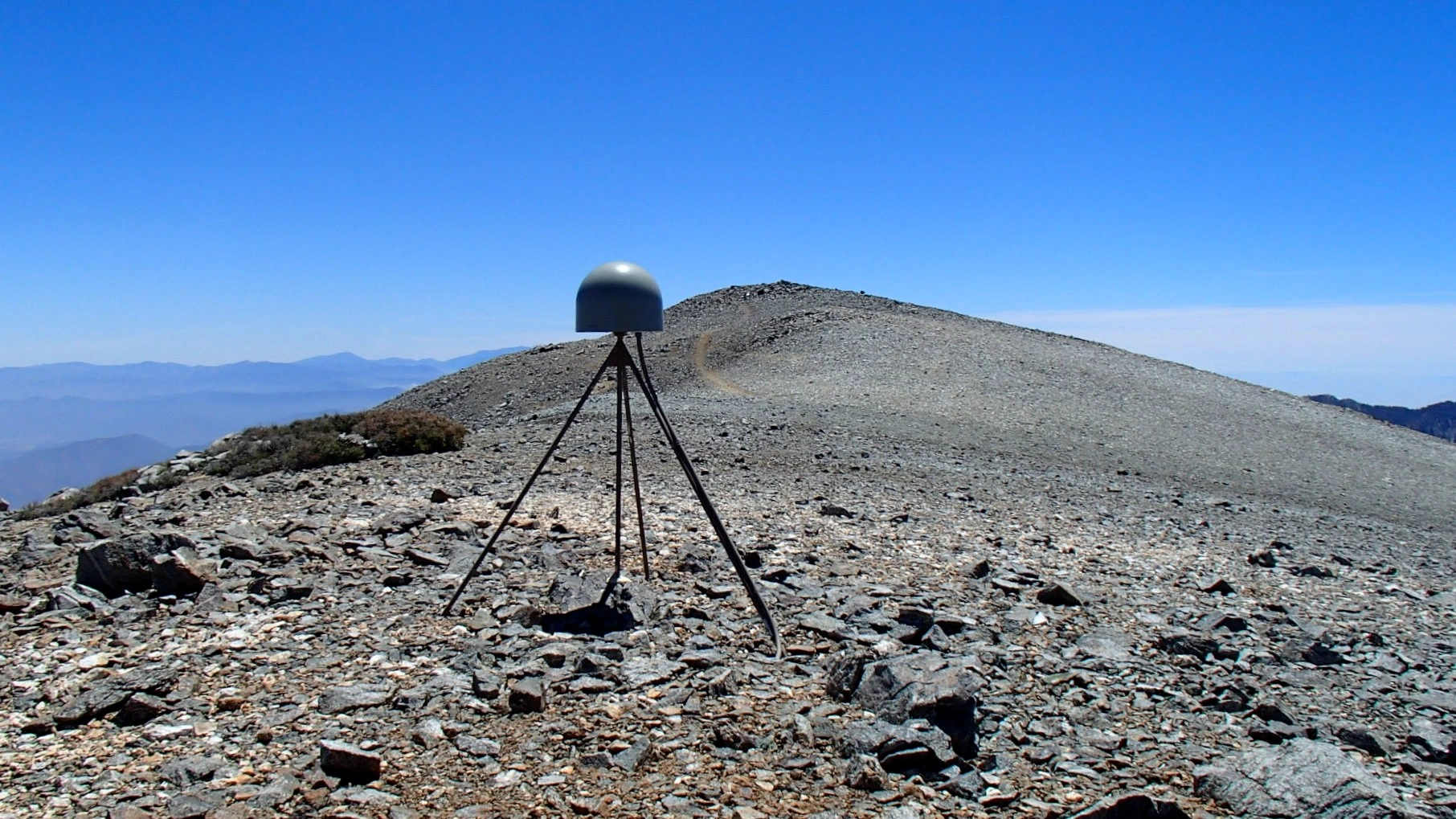
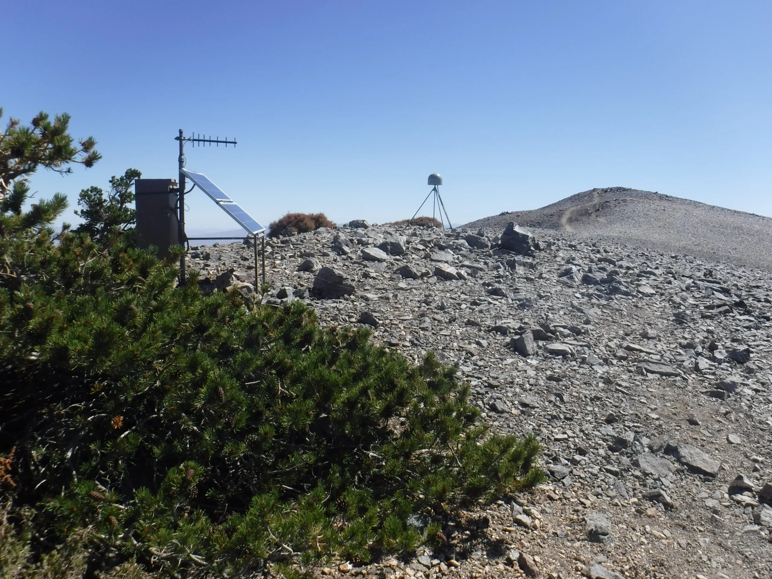
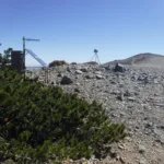
Mount Harwood wSensor, photo by Sharon Moore
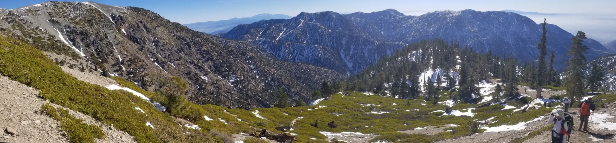
HarwoodPine1DawsonWright, photo by Sharon Moore
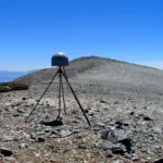
16D Harwood Dawson, photo by Sharon Moore
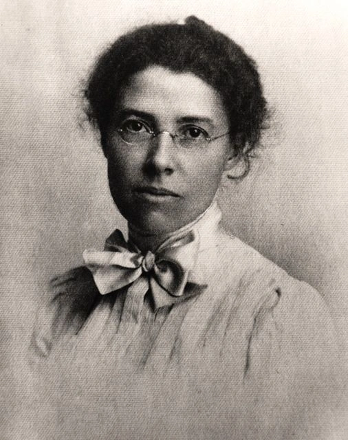
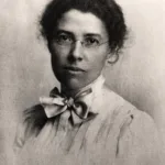
Aurelia Harwood, first woman president of the Sierra Club and active in conservation causes, portrait from the 1920s, photo by Angeles Chapter Sierra Club Archives


Peakbagger.com

Nearest ranger station

NOAA Forecast

Google Earth


