Peak Name
Elevation
feet
Status
Region
Range
Nearby peaks
Location
Oakzanita Peak is a popular hiking destination within Cuyamaca Rancho State Park, a creek-crossed landscape of meadows, pine forests, and oak woodlands which also encompasses Middle Cuyamaca and Stonewall peaks, Cuyamaca Lake, and has numerous excellent campgrounds.
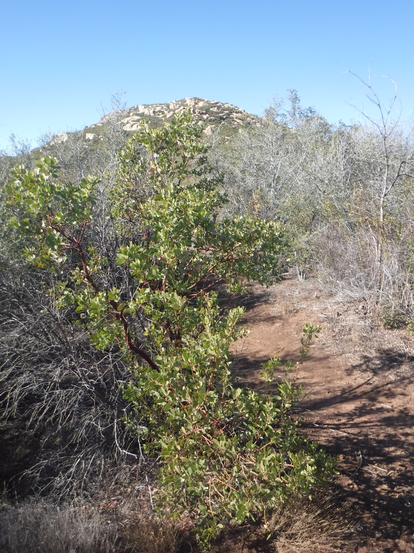
Route 1 is an easy hike that starts on fire road, continuing on a well-groomed trail that ascends gently to the peak through a mix of oak and manzanita (hence the peak name). Route 2 takes a longer route, continuing along Descanso Creek on the fire road before departing on use trail to the peak, lending itself to a nice loop hike. It is often hiked together with nearby Stonewall Peak.
Maps generated from CalTopo.com, reproduced with permission
Driving route
Northern approach:
Take I-5 south to SR 78 in San Diego County.
Go east on SR 78 through Escondido to the junction with SR 79 just past the town of Julian. Turn right (south) on SR 79.
Go south on SR 79 for 9 miles to the Cuyamaca Dam.
Continue 2.7 miles to the entrance to Paso Picacho Park on the right.
Continue 5.6 miles further (mile marker 4) to a gated dirt road on the left side. Park on the left just before this road.
Southern approach:
The drive is longer, but generally quicker by taking SR 79 north from I-8 via San Diego.
Hiking route
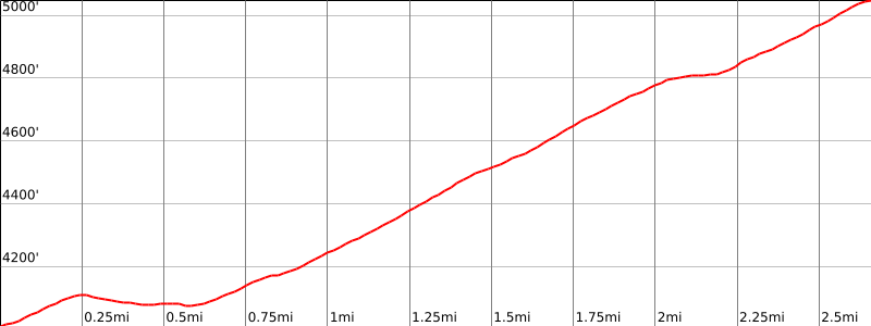
From the parking area (4020′), hike a few yards south to a gate. Pass the gate and hike up the road about 0.5 mile past the signed “Lower Descanso” trail, to a trail on the right with a sign “Upper Descanso” trail.
Follow this trail 1.6 miles to a saddle with a fork and a sign “Oakzanita Peak”.
Turn right and follow the trail 0.6 mile up to the summit.
Driving route
Northern approach:
Take I-5 south to SR 78 in San Diego County.
Go east on SR 78 through Escondido to the junction with SR 79 just past the town of Julian. Turn right (south) on SR 79.
Go south on SR 79 for 9 miles to the Cuyamaca Dam.
Continue 2.7 miles to the entrance to Paso Picacho Park on the right.
Continue 5.6 miles further (mile marker 4) to a gated dirt road on the left side. Park on the left just before this road.
Southern approach:
The drive is longer, but generally quicker by taking SR 79 north from I-8 via San Diego.
Hiking route
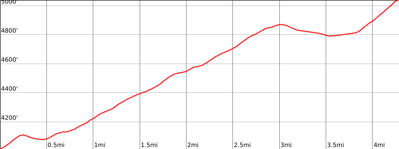
From the parking area (4020′), pass the gate and hike up the road, passing the trail mentioned in Route 1, about 2 1/2 miles to a saddle where there is a junction at 4870′ with a post reading “Oakzanita Peak 1.2”.
Turn right (west) and continue about 1/4 mile where you keep right at a fork.
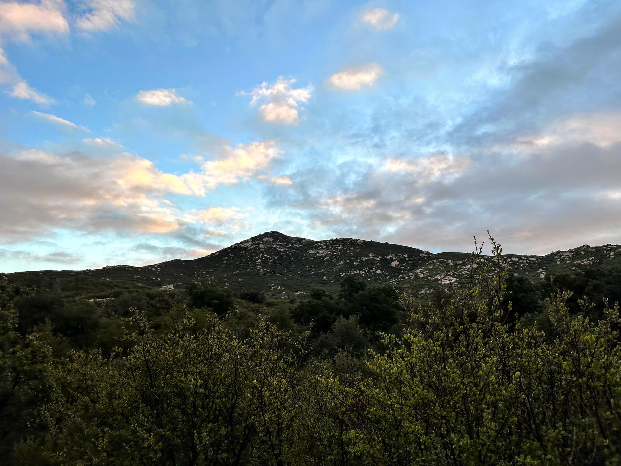
Follow the road about 1/2 mile farther down into a shallow valley. The peak is visible off to the right.
Continue on the road to where it ends on the ridge coming down south from the peak.
Turn right and follow a use trail up to the summit.
Route Notes
Additional Peak Information
Notes: Oakzanita Peak lies within the Cuyamaca Rancho State Park. The Diegueno Indians originally inhabited this area. Visit the Park Indian Museum, located 1 1/4 miles north on SR 79.


You must be logged in to upload images.