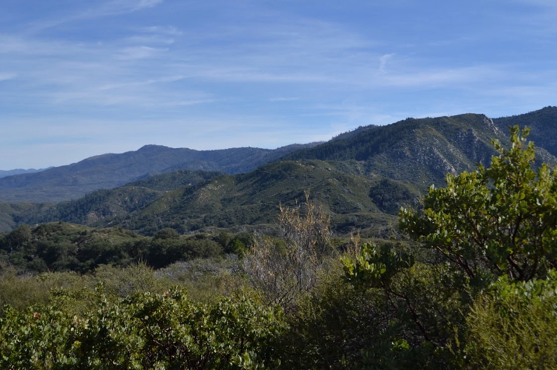
Eagle Crag, photo by Valerie Norton
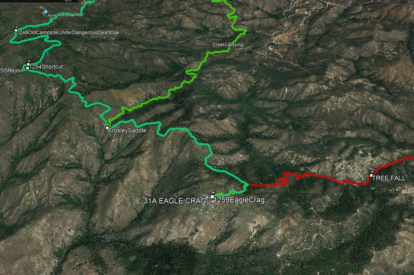
Eagle Crag, photo by Google Earth


Peakbagger.com

Nearest ranger station

NOAA Forecast

Google Earth


