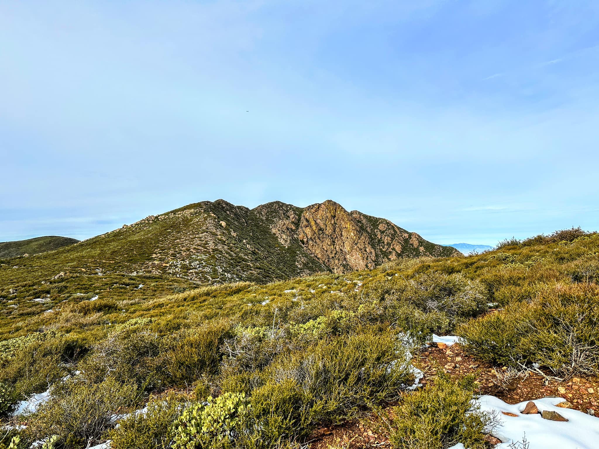
Garnet Peak Monument #1 Behind, taken from Garnet Mountain, photo by Sunny Yi
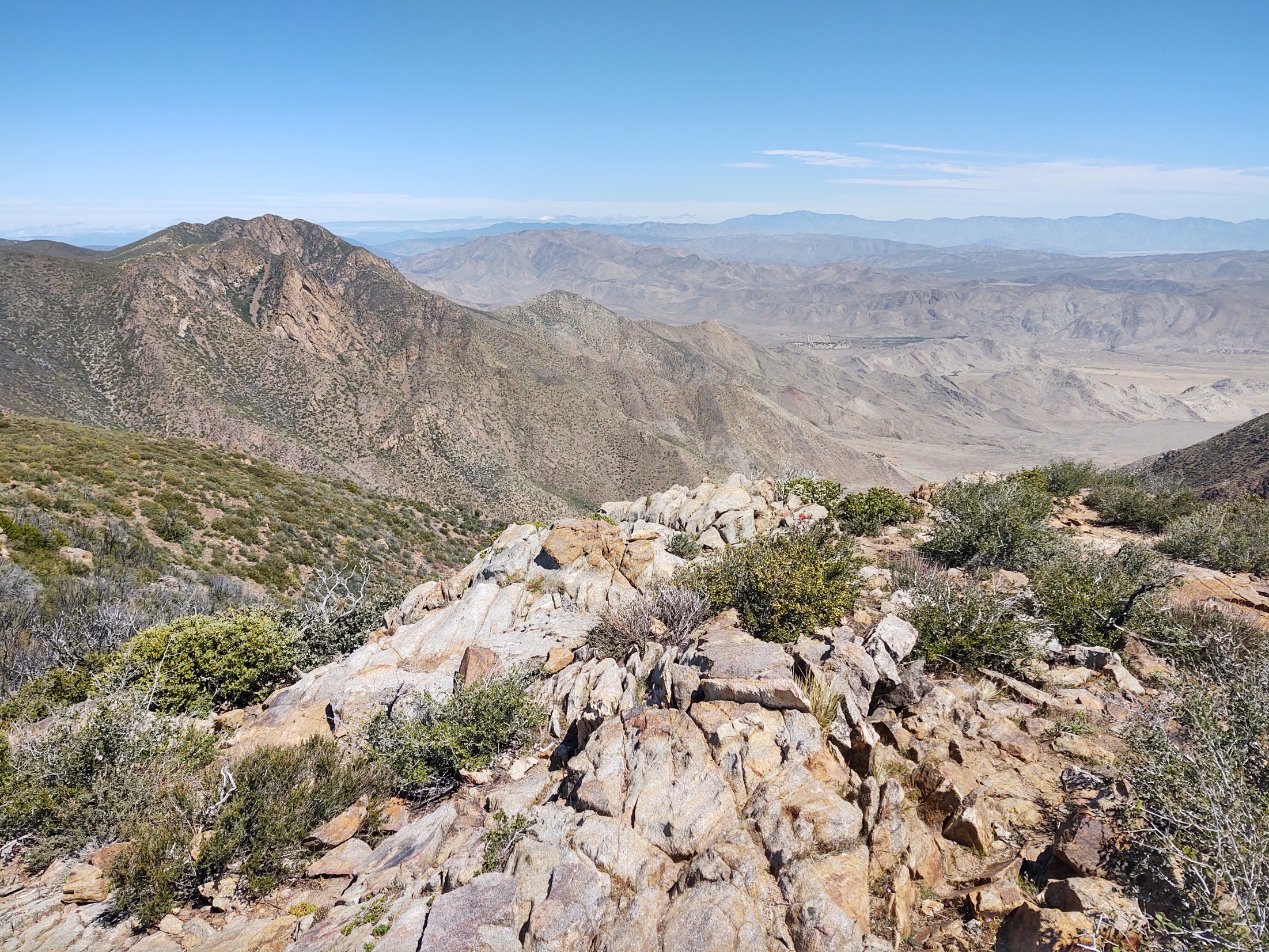
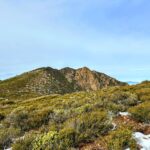
Garnet Peak, photo by Steve Russell
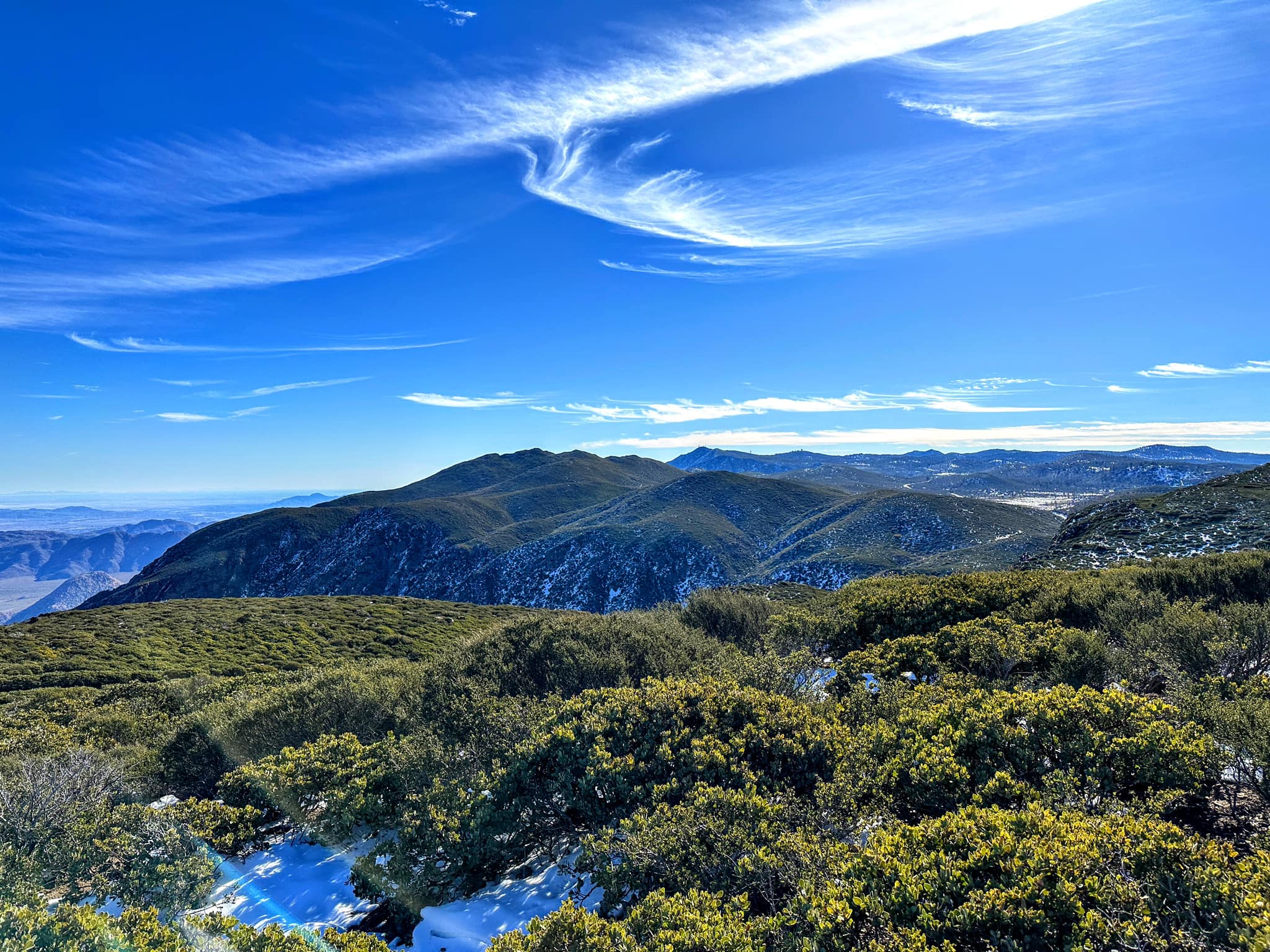
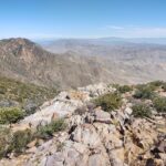
Garnet Peak, photo by Sunny Yi


Peakbagger.com

Nearest ranger station

NOAA Forecast

Google Earth


