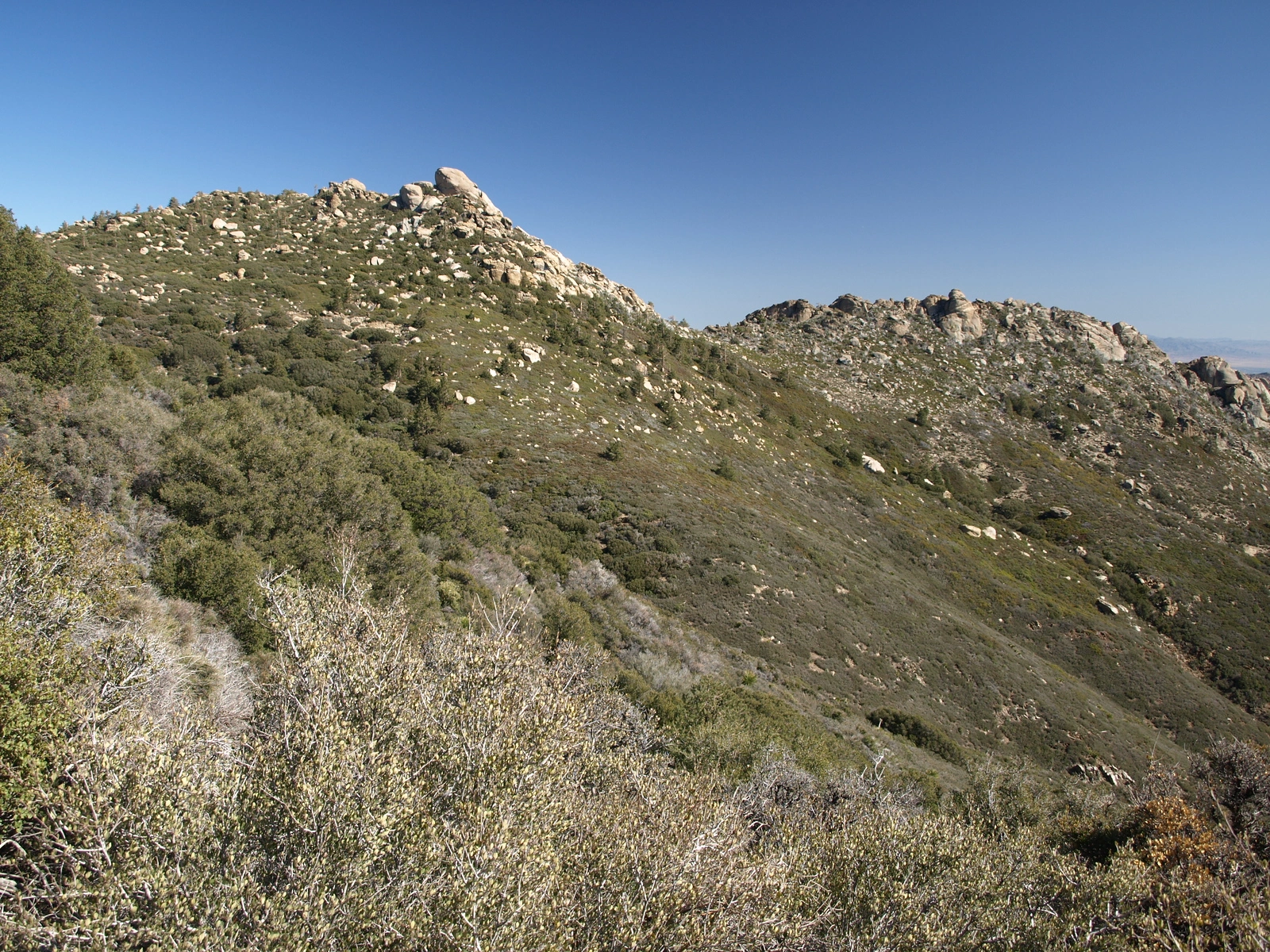
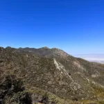
Pine Mountain #2, photo by Kathy Wing
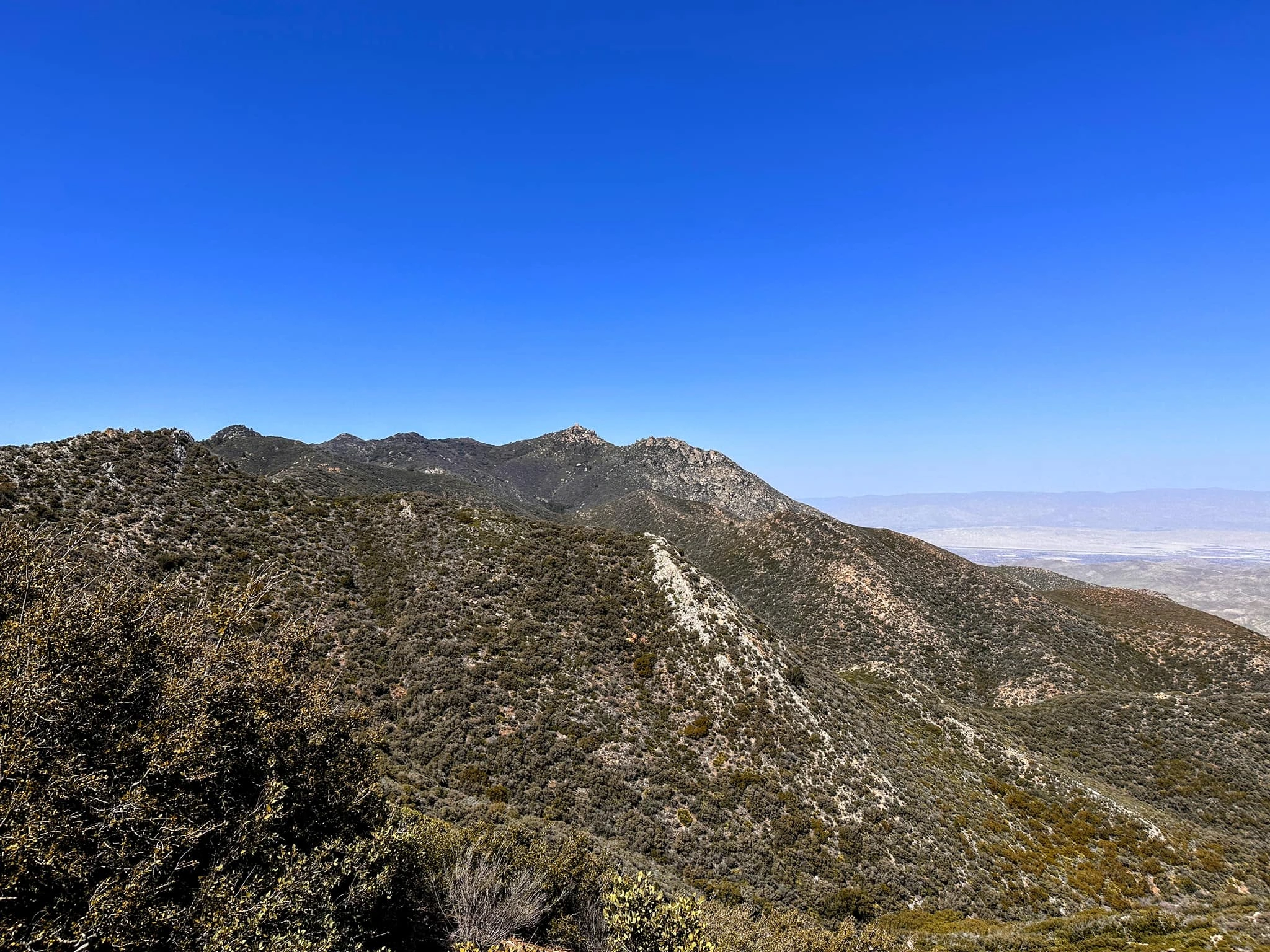
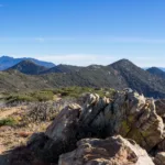
Pinemountain #2, photo by Sunny Yi
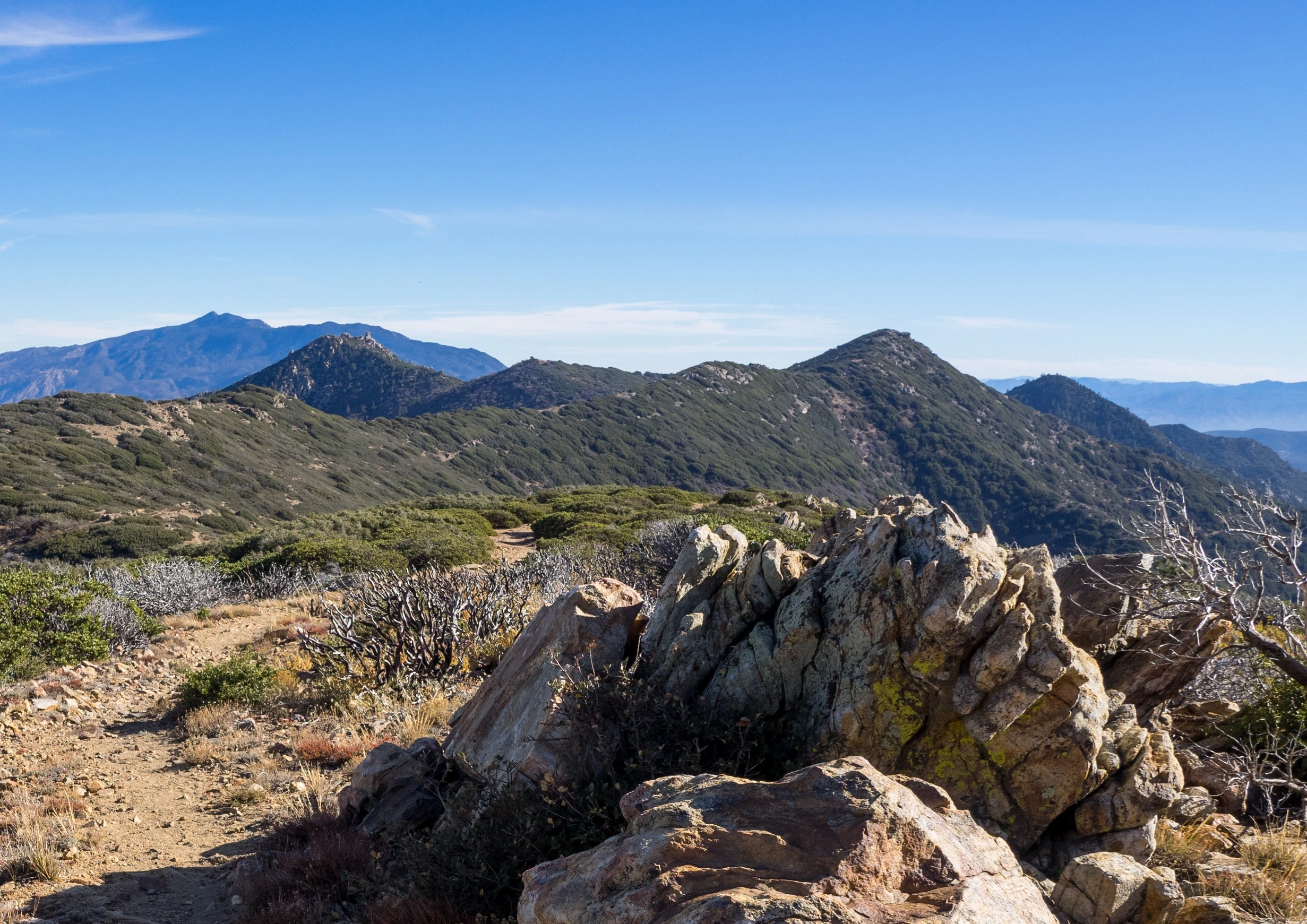
Pyramid Pine, photo by Kathy Wing
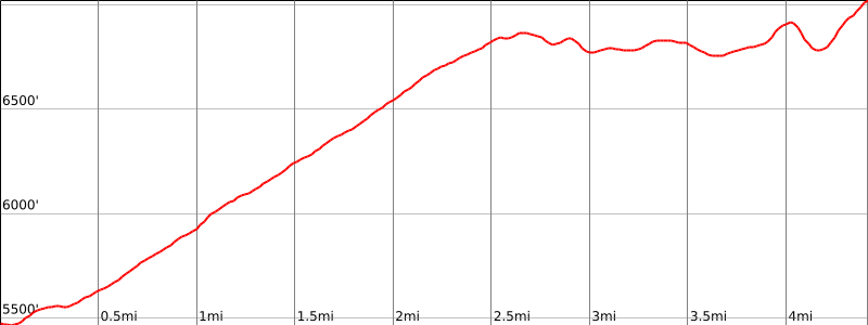


Peakbagger.com

Nearest ranger station

NOAA Forecast

Google Earth


