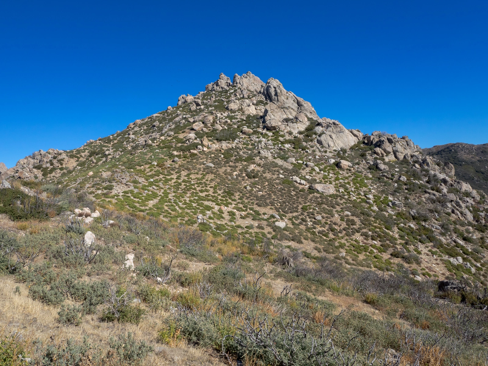
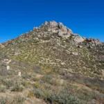
Cone Peak, photo by Kathy Wing
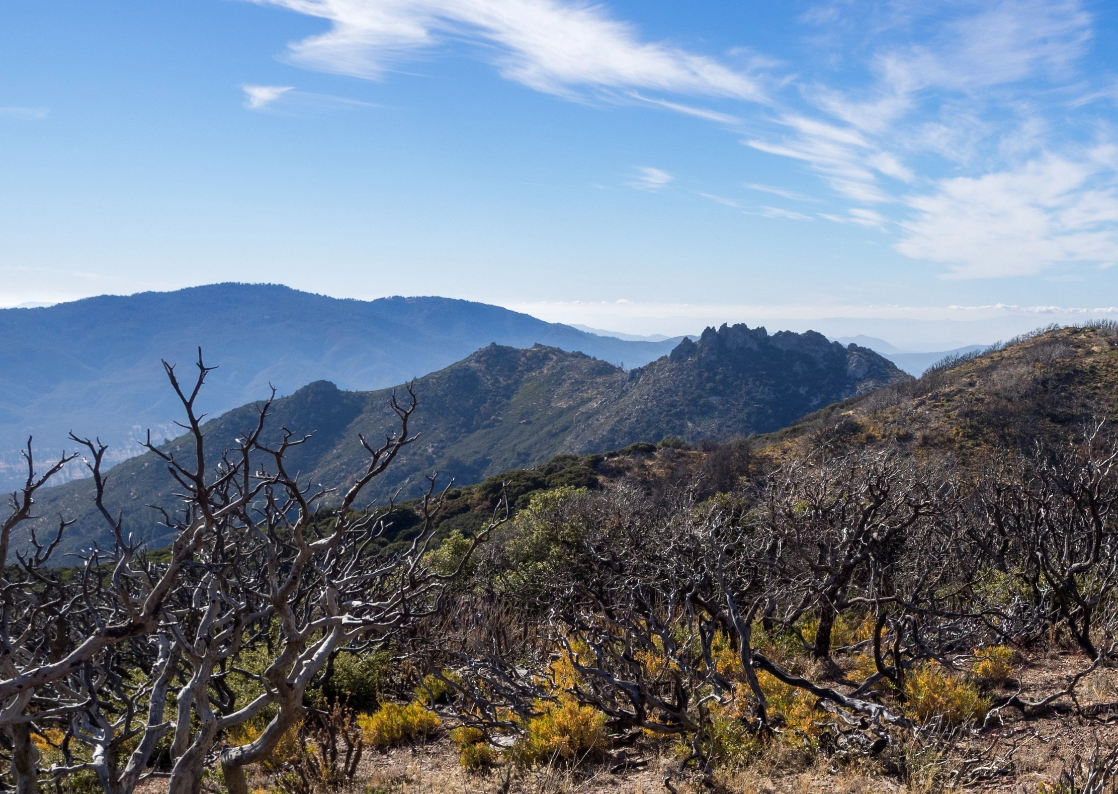
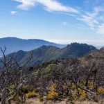
Cone, taken from Pct, photo by Kathy Wing
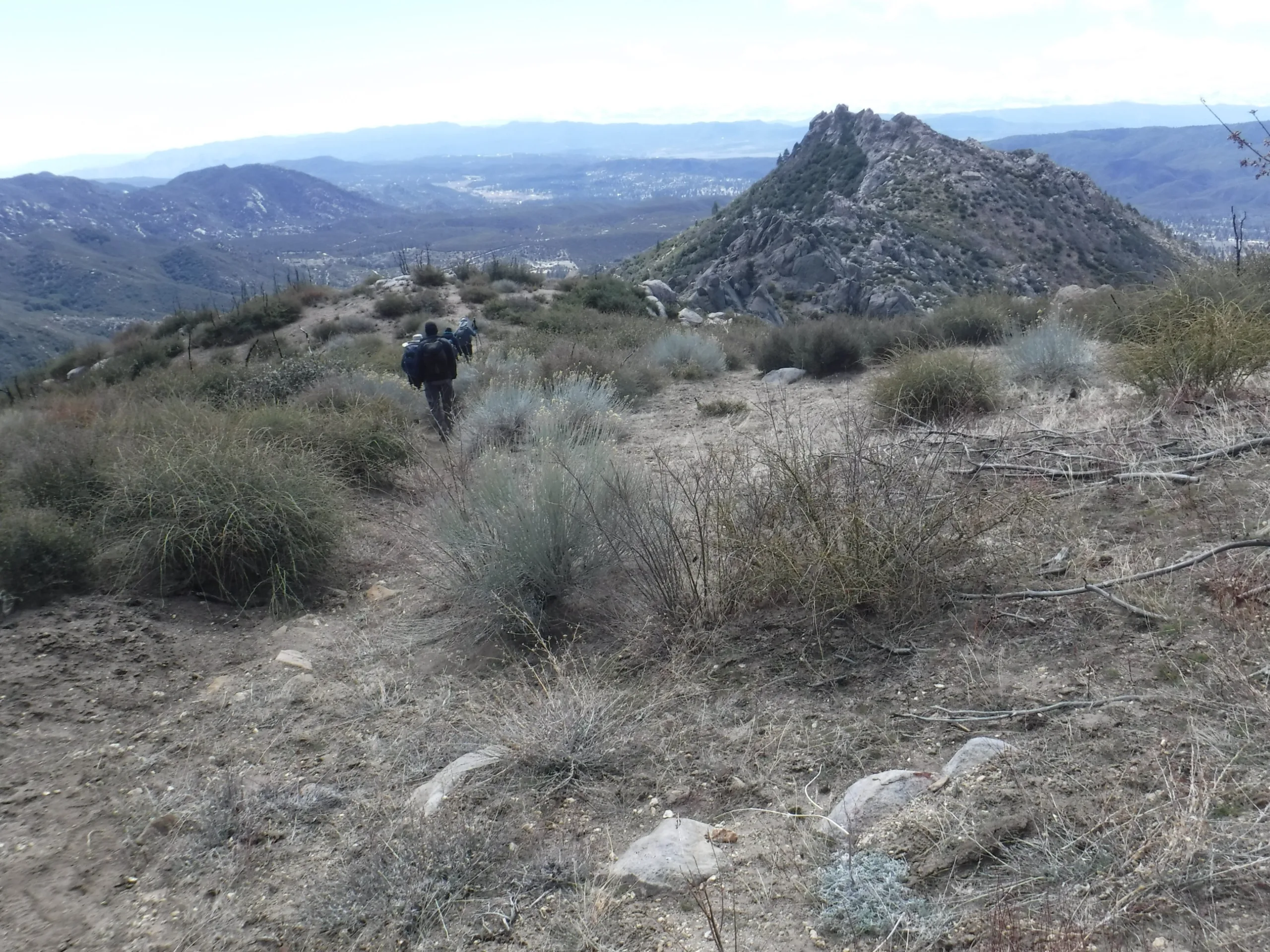
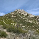
Cone, photo by Steve Russell
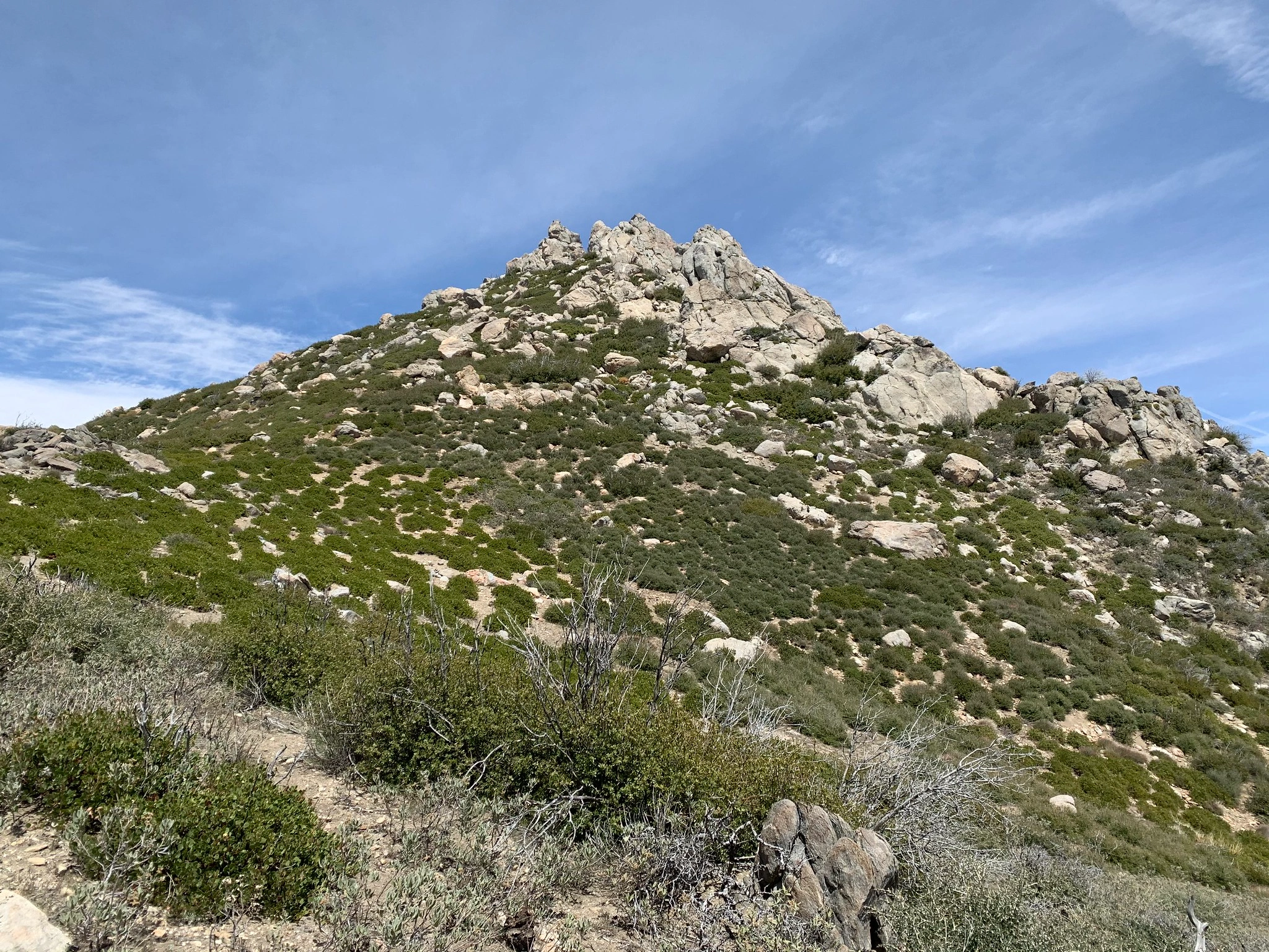
ConePeak, photo by Sharon Moore


Peakbagger.com

Nearest ranger station

NOAA Forecast

Google Earth


