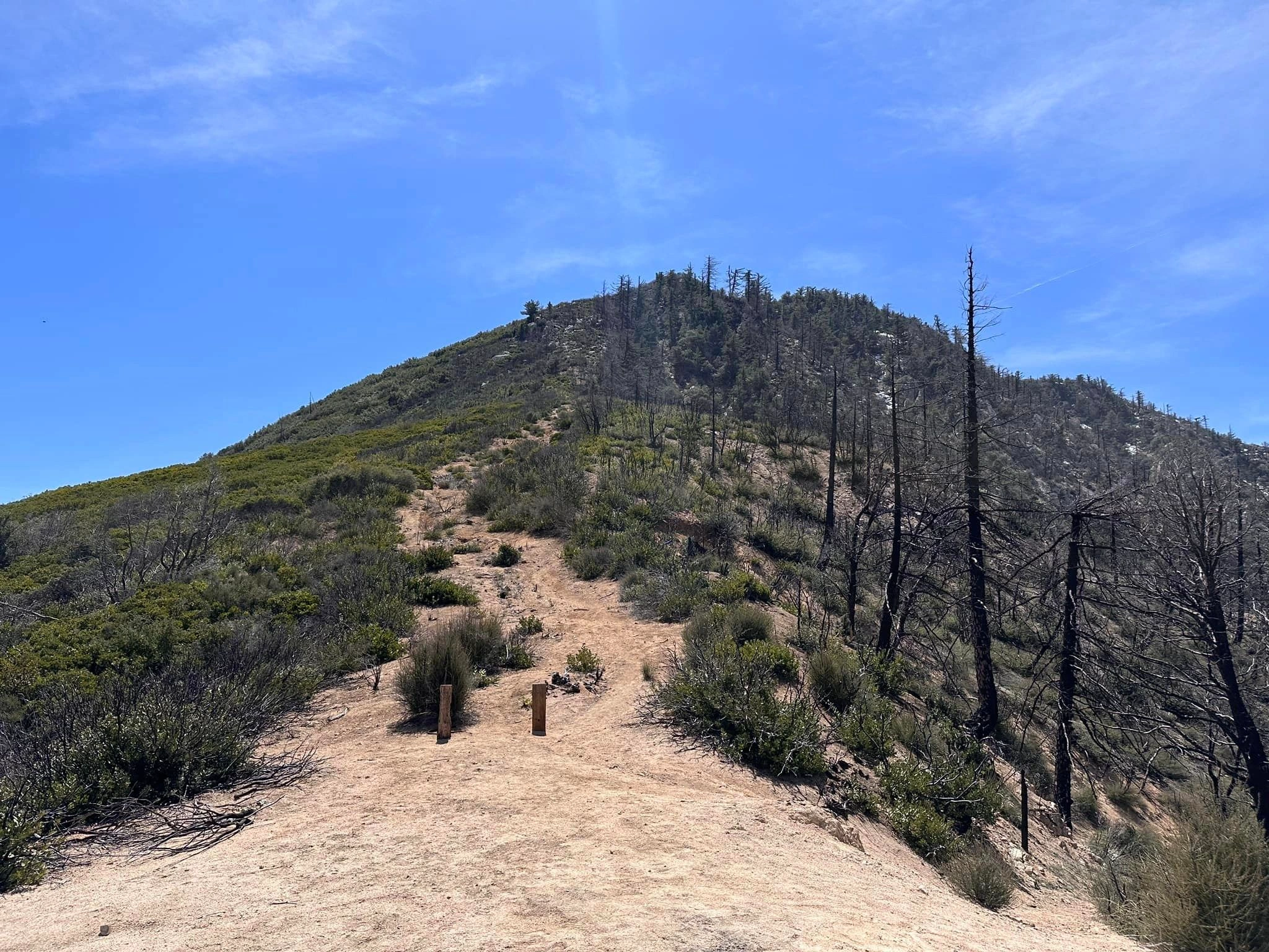
Smith Mountain, photo by Sunny Yi
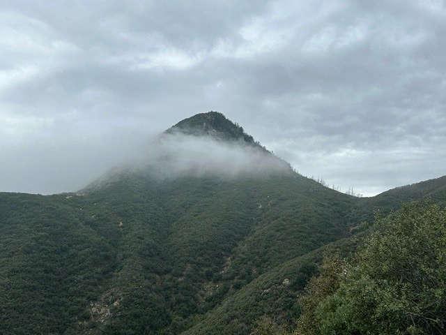
Smith Mountain, photo by Yasuhide Iyemori


Peakbagger.com

Nearest ranger station

NOAA Forecast

Google Earth


