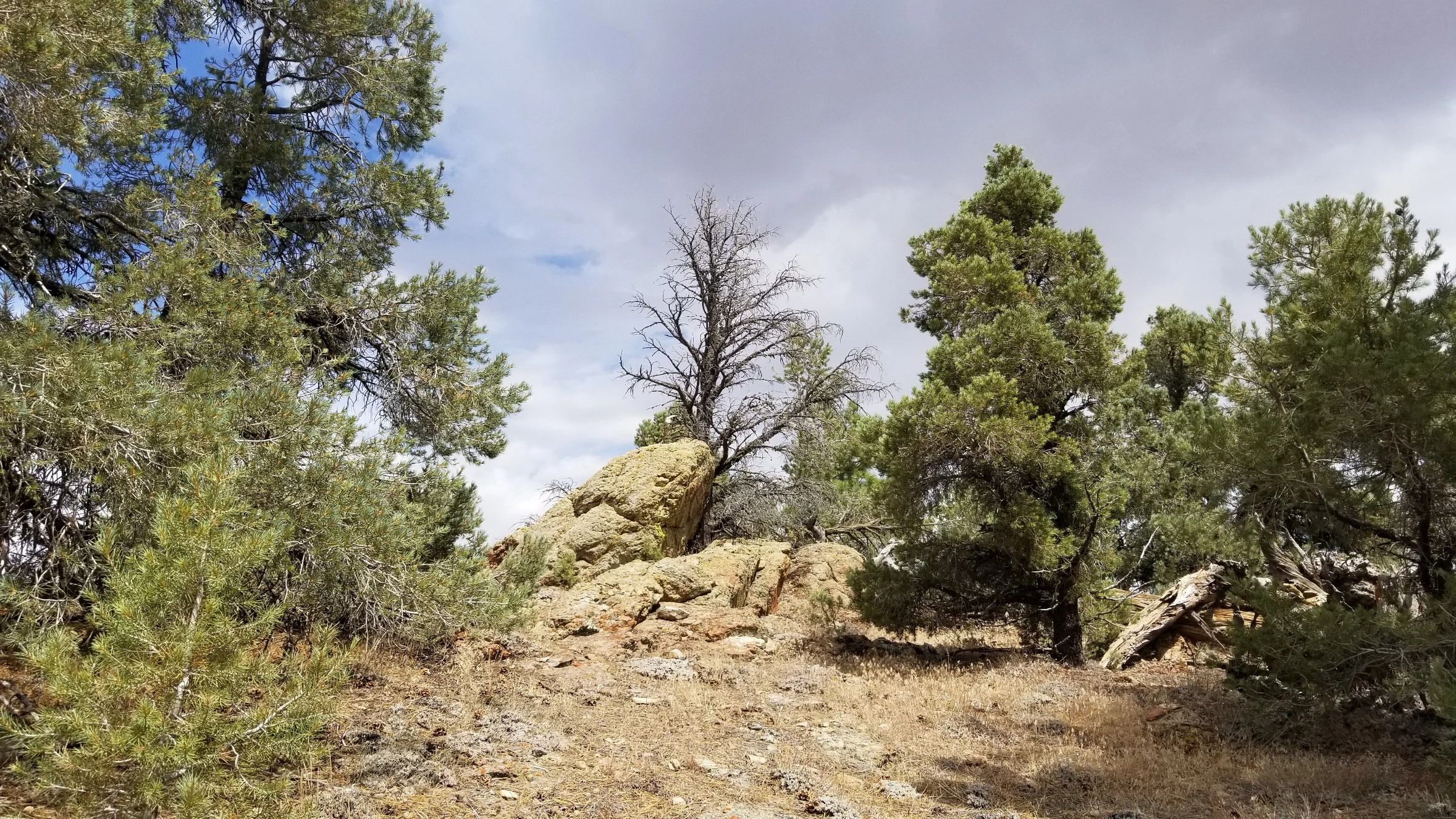
Brush Mountain

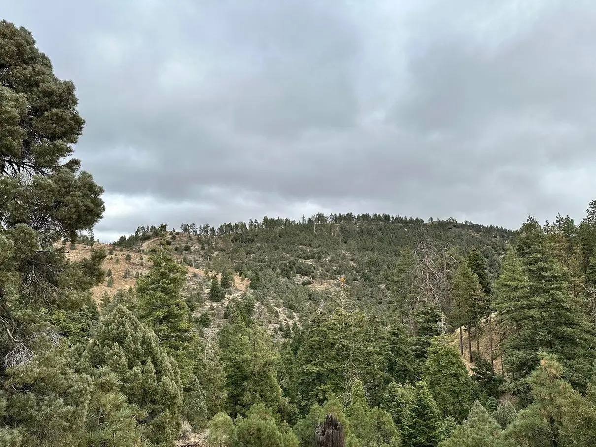
Brush Mountain near summit, Photo by Tao Zhang.

Peak Name

Brush Mountain
04A

Elevation

7040

 feet

Status

active

Region

Southern Kern County West Of Hwy 5

Range

San Emigdio Mountains

Location

34.89042,-119.22743

Description

Brush Mountain, named for a pioneer family rather than its vegetation, overlooks the Mount Pinos area peaks to the south. Route 1 starts by driving to Marion Campground with a short hike up the ridge. It can also be hiked to or from San Emigdio, with which it is usually hiked. This is one of several HPS peaks where the HPS summit is not the same as the USGS summit, rather it is 0.2 miles northwest on a secondary summit.

Maps generated from CalTopo.com, reproduced with permission

Route 1
Elevation Gain
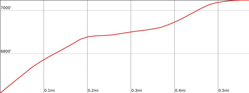
500′
Navigation Difficulty
Easy
Distance
2 miles round trip on road
Estimated time
1-1.5 hours round trip
Route Rating
Class 1, easy
Leader Rating Required
“O”, normal conditions

Driving route

Go north on I-5 to the Frazier Park exit. Exit I-5.
Go west 12.2 miles on the Frazier Mountain Park Road to the junction with the Mil Potrero Road. (Frazier Mountain Park Road changes name in Lake of the Woods and becomes Cuddy Valley Road.)
Turn right onto Mil Potrero Road. Note odometer and go as follows:
At 8.3 miles, highway junction and a ranger station at Apache Saddle. This is the turnoff for Cerro Noroeste. Go straight.
At 8.5 miles, dirt road on the right. This is the turnoff for San Emigdio Mountain. Keep straight.
At 9.5 miles, turn right on a dirt road.
At 11.4 miles, a sign “Marion Campground”, keep left at the sign and go to a fork about 100 yards farther. Park here.

Hiking route

Hike up the steep jeep road leading northwest from the campground.
The jeep road passes to the north of several bumps and over bump 7048′.
The high point of the peak is located about 0.2 mile northwest of bump 7048′.
At a point where the jeep road clearly turns to the north, leave the jeep road and turn west to the high point. The high point is a large rounded, fairly flat grassy knoll with no register.
The HPS register is located about 0.3 mile farther to the north, just to the west of the jeep road on a conspicuous rocky outcrop. This spot is marked as bump 7028′ on the USGS topo.

Route Notes

Printable Route

Road Type

Dirt

Google Maps Link to Trailhead 

Additional Peak Information

Special conditions: 4WD vehicles can drive to near the summit. This is a popular deer hunting area. Use caution when hiking in this area during hunting season.

Nearby Peaks

Backus Peak
Owens Peak
Black Mountain #5
Morris Peak

External Links

mountain 1

Peakbagger.com

Click Here

ranger-tower 1

Nearest ranger station

Click Here

g311

NOAA Forecast

Click Here

worldwide 1

Google Earth

Click Here

Photo Gallery