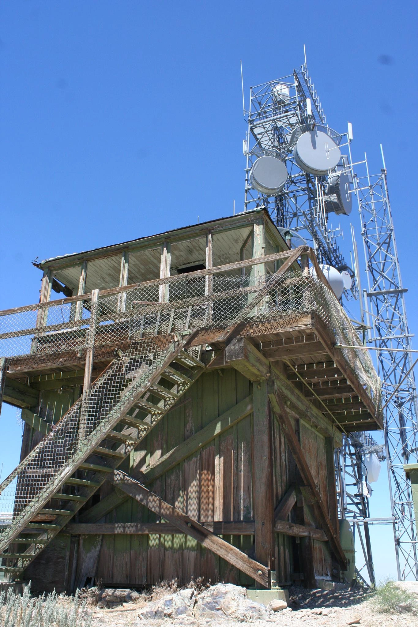
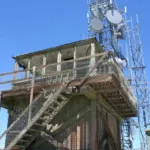
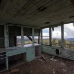
Frazier Mountain Lookout, photo by Chris Waldheim
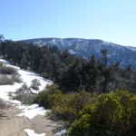
Frazier Mountain, near the peak, photo by Tao Zhang
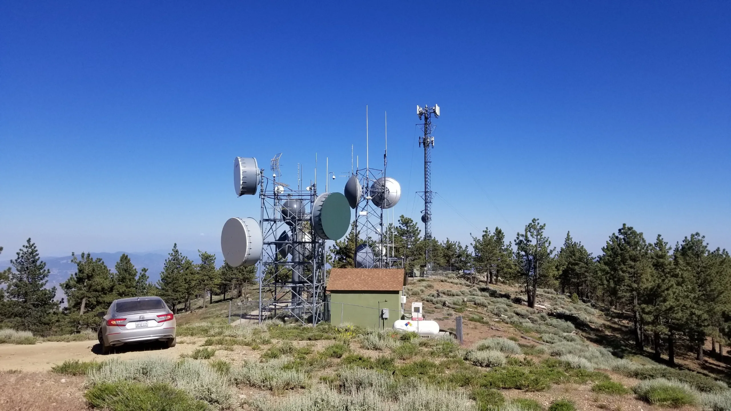
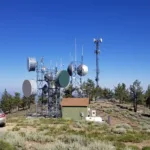
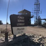
Frazier Mountain Summit Lookout, photo by Bill Simpson
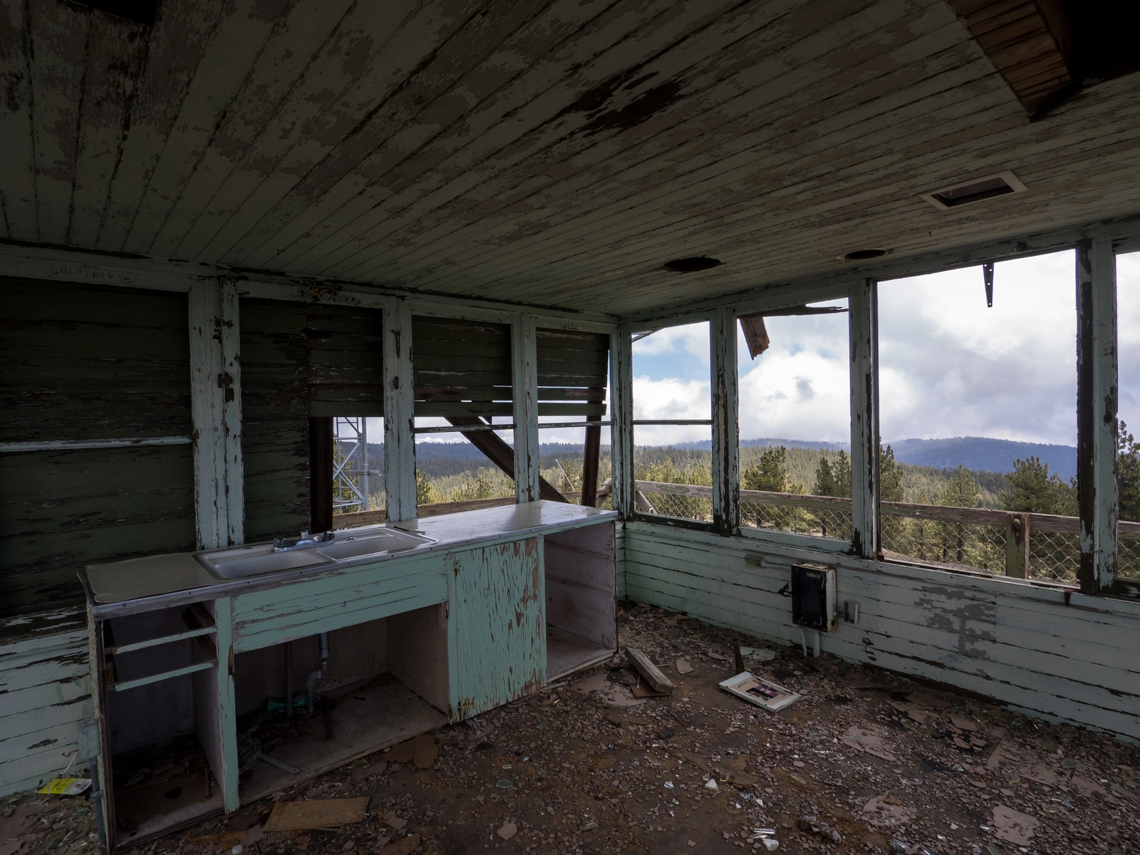
Frazier Lookout ruins, photo by Kathy Wing
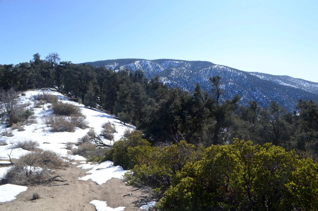
Frazier Mountain, taken from Tecuya, photo by Valerie Norton


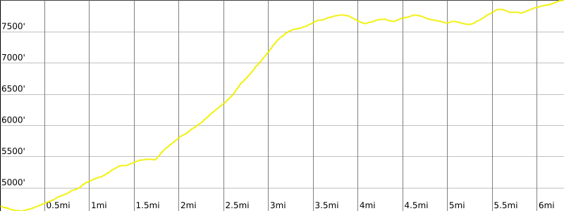

Peakbagger.com

Nearest ranger station

NOAA Forecast

Google Earth


