Throop Peak

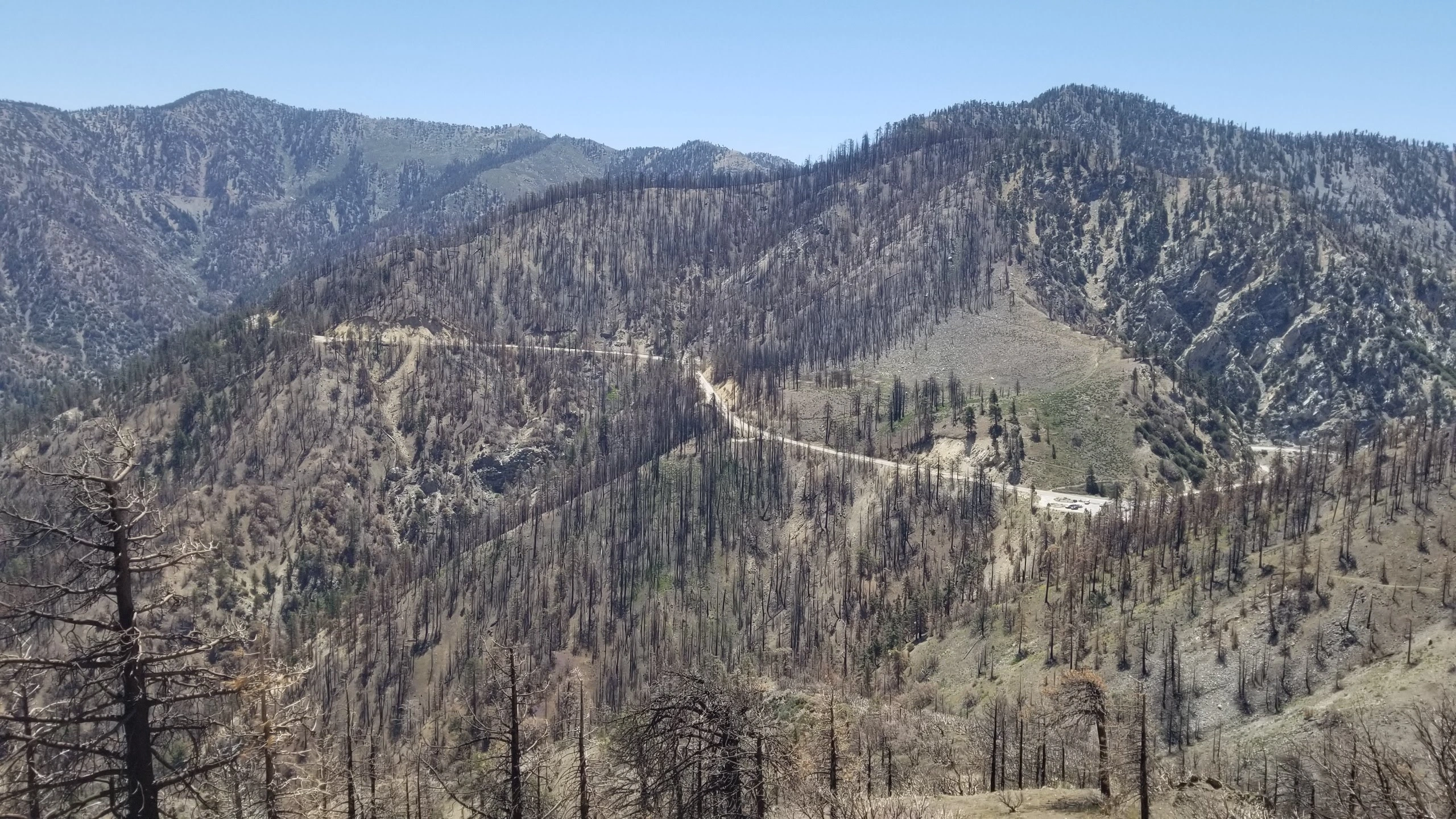
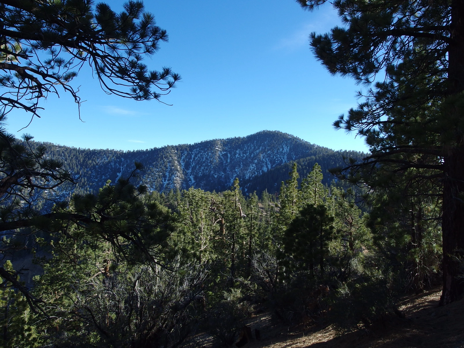
Throop Peak, taken from Lewis, Photo by Kathy Wing.

Peak Name

Throop Peak
14G

Elevation

9138

 feet

Status

active

Region

South Of Angeles Crest Hwy 2

Range

San Gabriel Mountains

Location

34.3505562,-117.7995051

Description

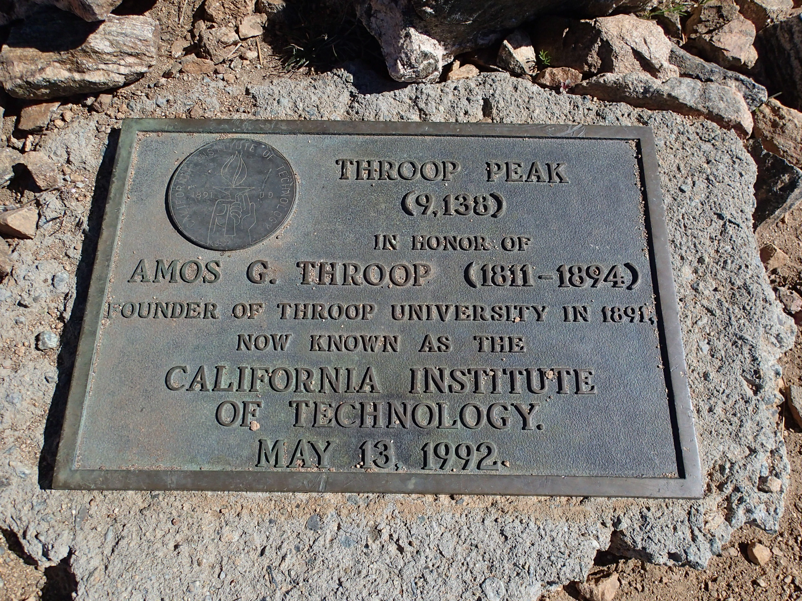
Throop Peak is named for Amos Throop, the founder of what today is Caltech. Throop can be an easy day hike or a nice addition to a multi-peak day along the way to Mount Baden Powell. The peak has three trails leading to its summit which make it easy to traverse.

Route 1 is the quickest way up from Dawson Saddle, and turning off the main trail onto the use trail makes for a quick but steep route to the top. Route 2 follows the route from Mount Hawkins, either from Islip Saddle or Crystal Lake via Windy Gap and the PCT. There are many options in this area for multi-peak hikes. One can hike, mostly on PCT, from Islip Saddle over Hawkins, taking side trips to Throop and Burnham then continuing to Mount Baden Powell with a car shuttle back.

Maps generated from CalTopo.com, reproduced with permission

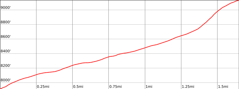
Route 1- From Dawson Saddle
Elevation Gain
1200′
Navigation Difficulty
Easy
Distance
4 miles round trip on trail
Estimated time
3 hours round trip
Route Rating
Class 1, easy
Leader Rating Required
O

Driving route

From the intersection of I-210 and Angeles Crest Highway (SR 2), drive north on Angeles Crest Highway 44.8 miles to Dawson Saddle. Park here.

Hiking route

From the parking area (7920′), cross to the south side of the road to where trail begins.
Hike up this trail to about 8600′. At this point the trail leaves the ridge to the left.
Leave the trail at this point and continue up to the summit.

Route Notes

Printable Route

Road Type

Paved

Google Maps Link to Trailhead 

Route 2 – From Mount Hawkins
Elevation Gain
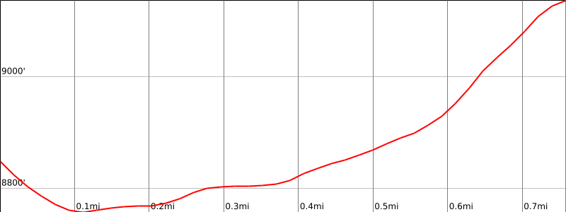
300′
Navigation Difficulty
Easy
Distance
1.0 mile one way
Estimated time
3/4 hour one way
Route Rating
Class 1, easy
Leader Rating Required
O

Driving route

See Mount Hawkins.

Hiking route

From Mount Hawkins, hike northeast on the Pacific Crest Trail (PCT) 3/4 mile to where the trail begins to contour around Throop Peak.
Leave the trail and go up the ridge to the summit.

Route Notes

Note: From Mount Hawkins.

Printable Route

Road Type

None

Google Maps Link to Trailhead 

Additional Peak Information

Alternate routes: The peak can also be climbed from Mount Burnham via the PCT.

Historical notes: The peak is named for Amos G. Throop, who in 1891 founded Throop University in Pasadena, which later became the California Institute of Technology.

Nearby Peaks

Backus Peak
Owens Peak
Black Mountain #5
Morris Peak

External Links

mountain 1

Peakbagger.com

Click Here

ranger-tower 1

Nearest ranger station

Click Here

g311

NOAA Forecast

Click Here

worldwide 1

Google Earth

Click Here

Photo Gallery