Twin Peaks

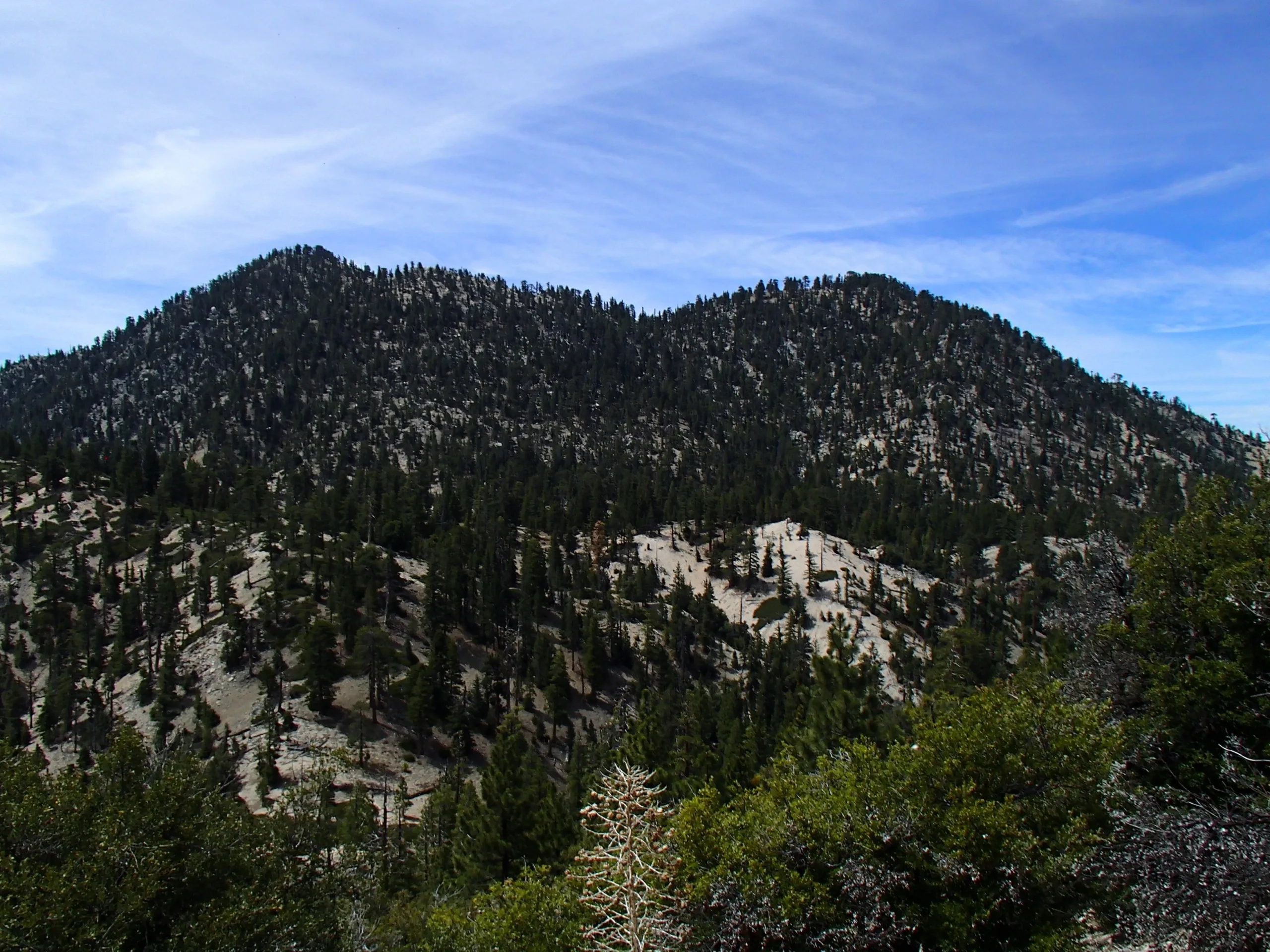
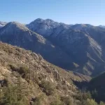
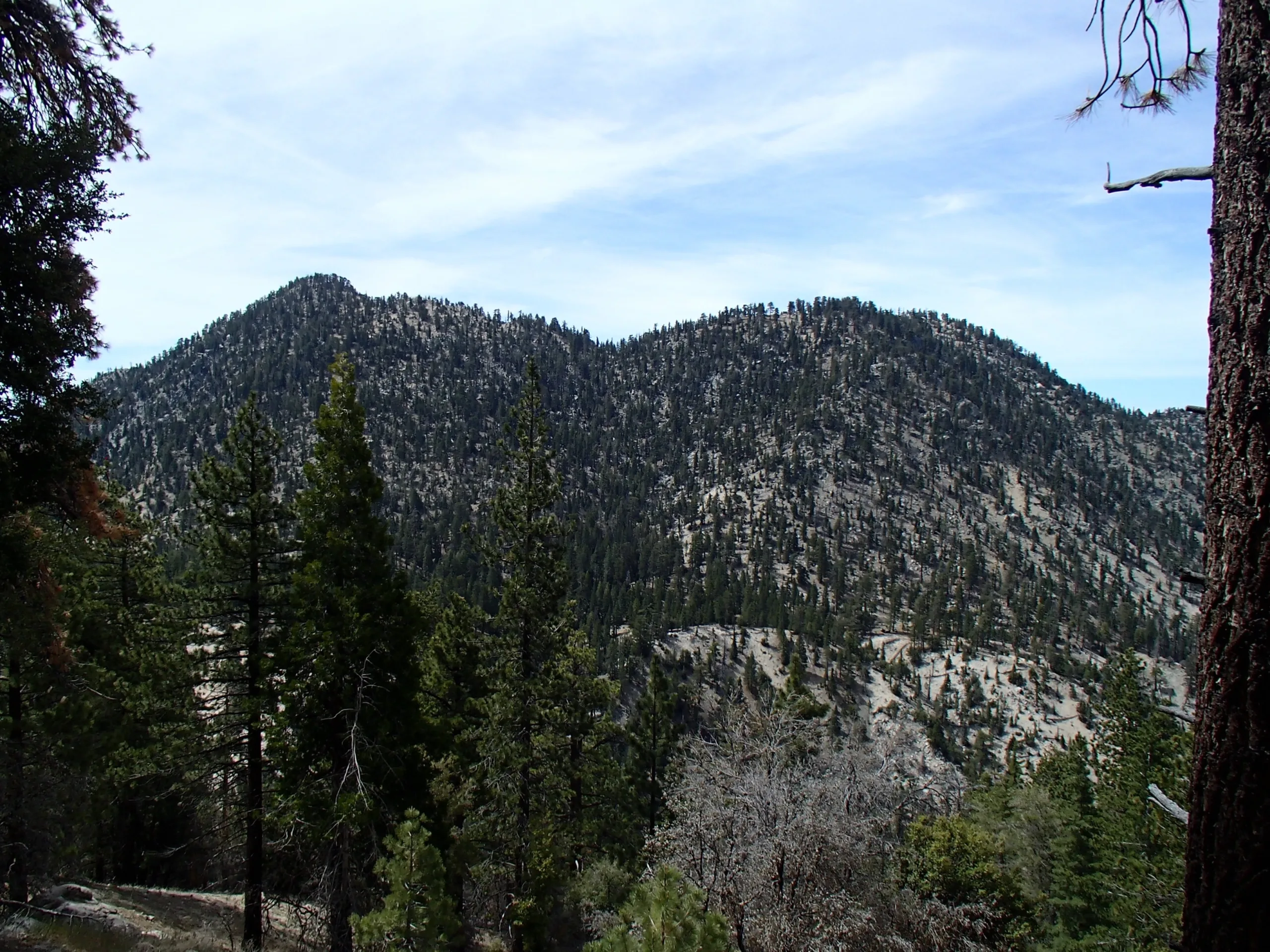
Twin Peaks, Photo by Sharon Moore.

Peak Name

Twin Peaks
14B

Elevation

7761

 feet

Status

active

Region

South Of Angeles Crest Hwy 2

Range

San Gabriel Mountains

Nearby peaks

Location

34.3158342,-117.926731

Description

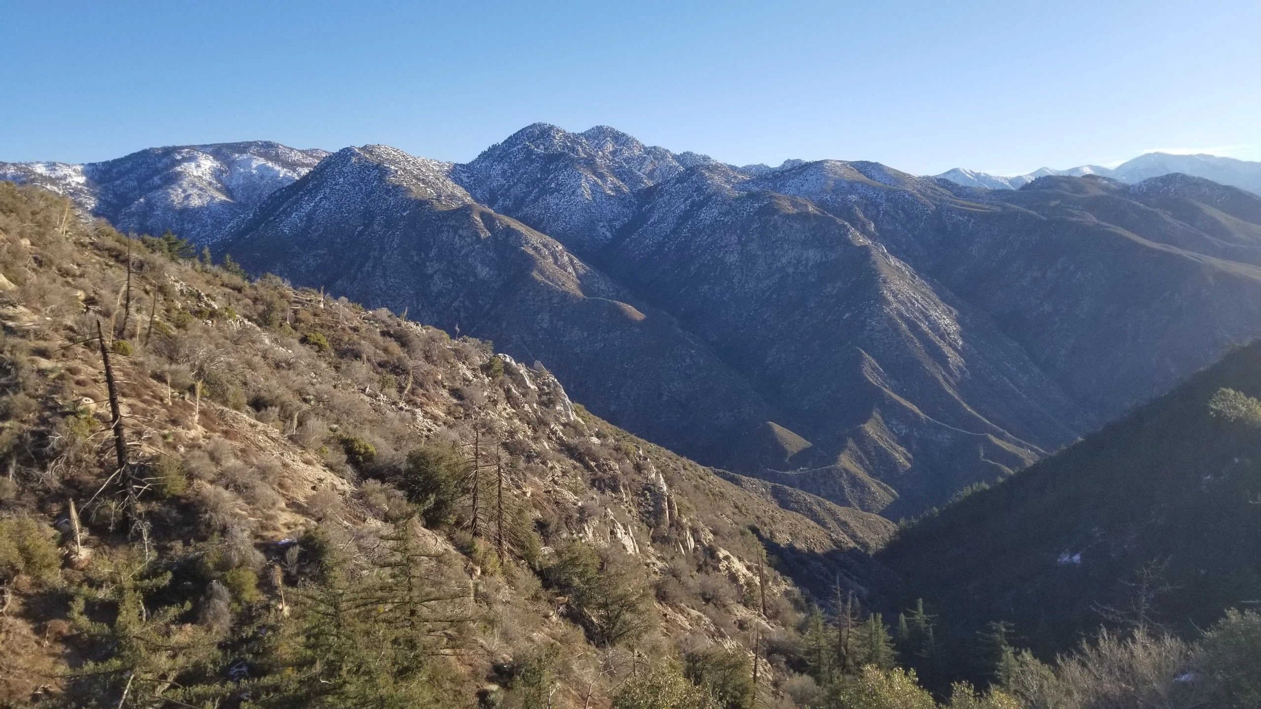
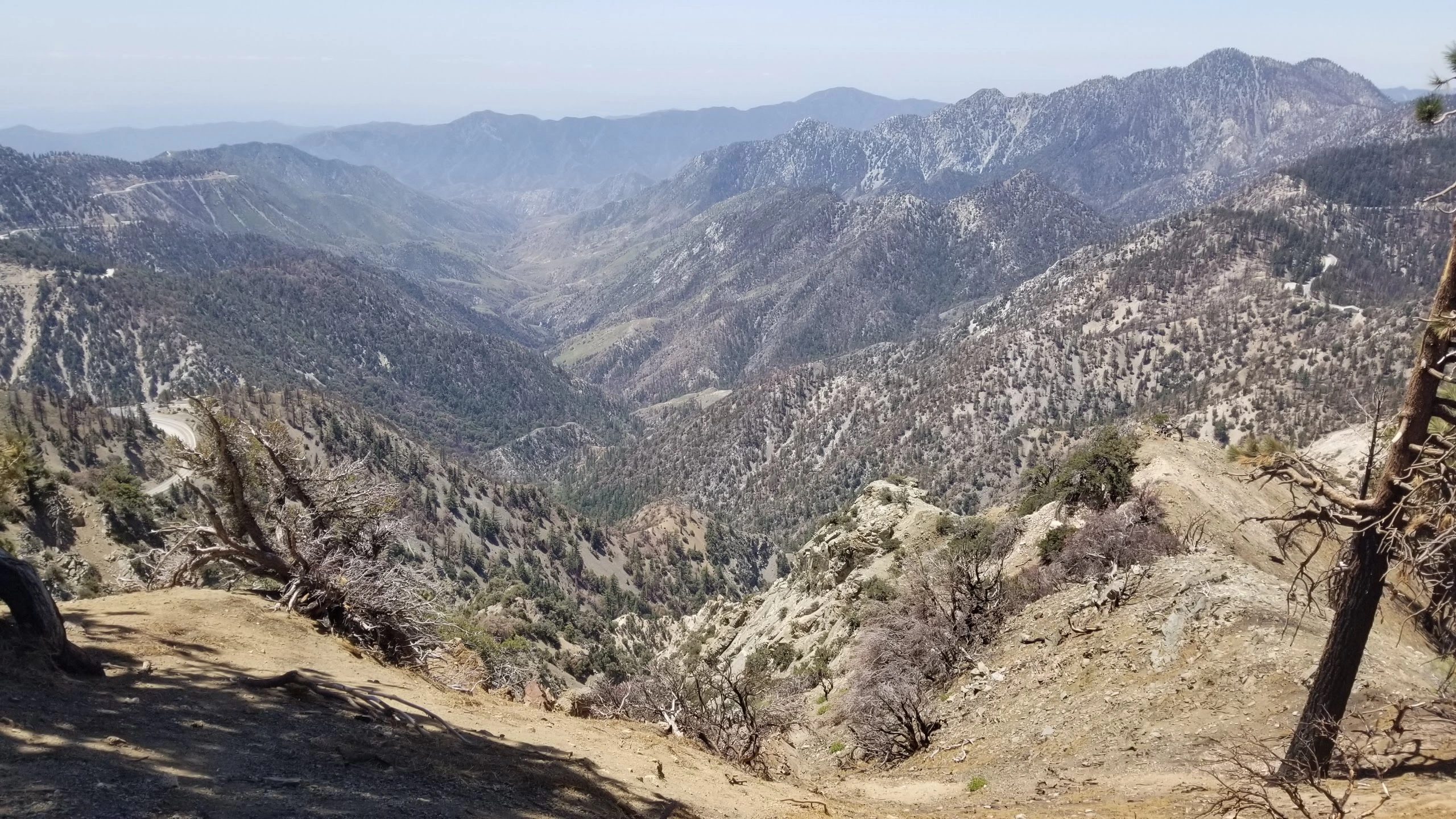
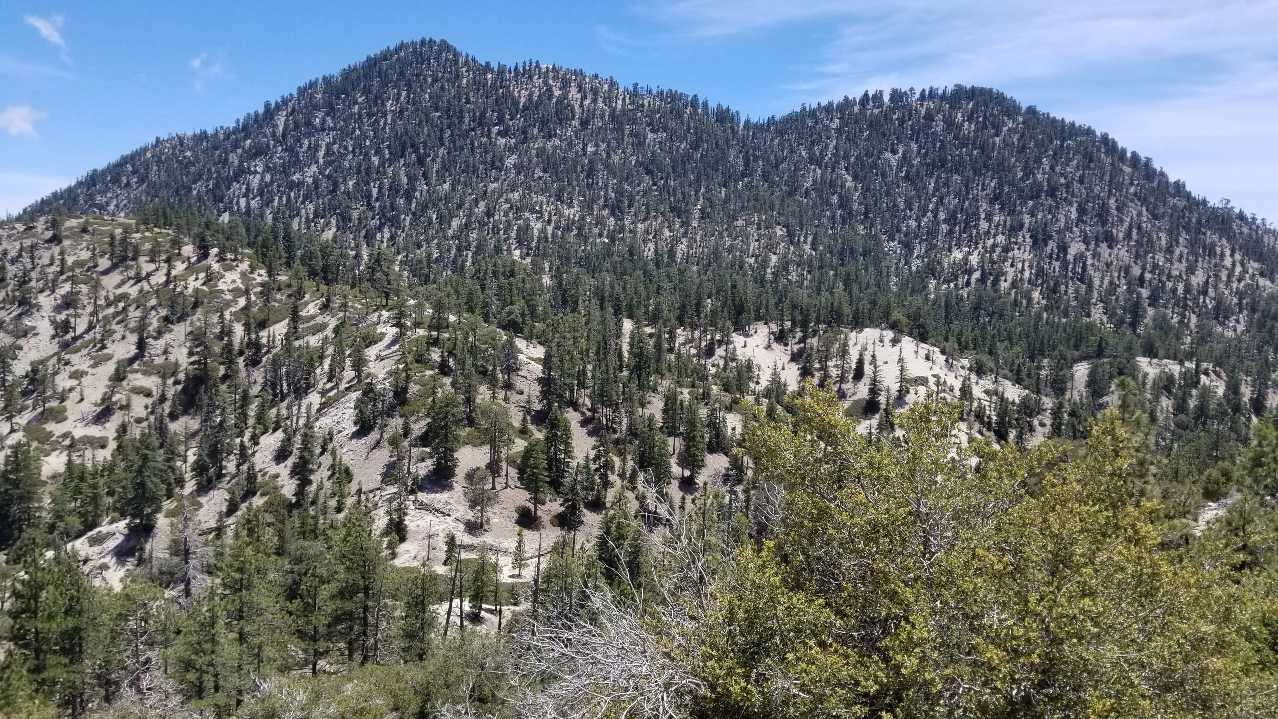
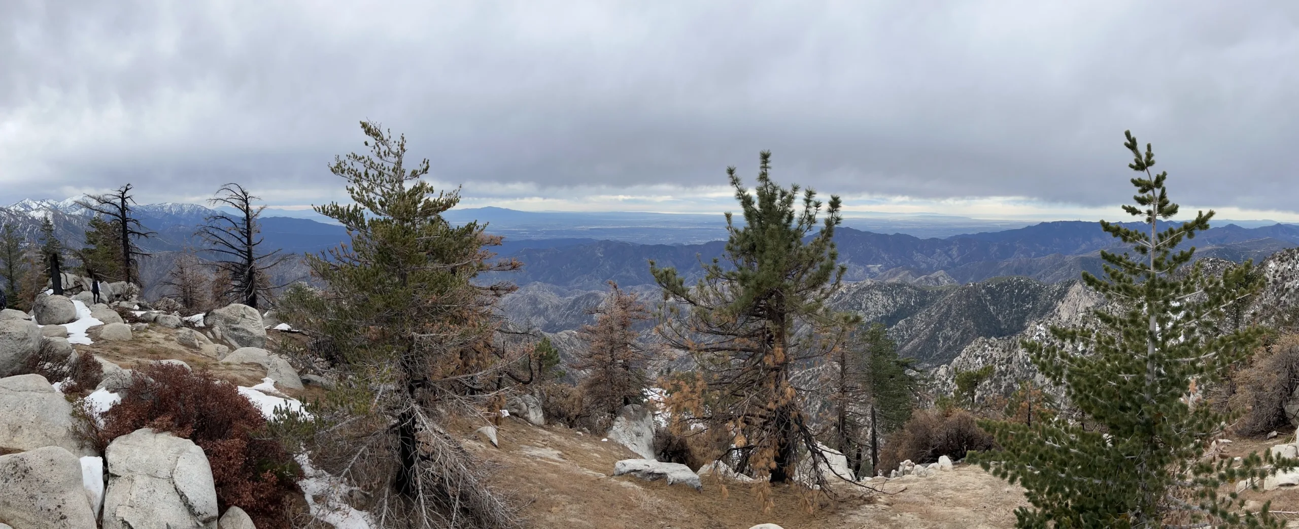
Twin Peaks is a challenging hike that delivers great views south from the remote north side of the San Gabriels. Getting to the base of the peaks is the easy part and that last 1/3rd of a mile is a steep climb up on loose scree. As the name implies, there is an east and west peak. The east peak is the higher point and it has a large area to rest and picnic at the top, though a side trip to the west peak is a nice addition.

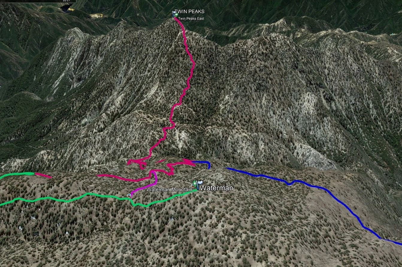
Route 1 leaves straight up the trail across from the parking area. The signs on Angeles Crest are not in good shape as of this writing. This trail crosses a ski area access road in the first few minutes and then continues up winding its way to the trail junction where there is a new sign. Route 2 is the long route from Three Points and it winds through the rock formations early in the hike, crosses a seasonal stream before turning right and down to the final climb to the top.

Maps generated from CalTopo.com, reproduced with permission

Route 1- From Ski Lift Area
Elevation Gain
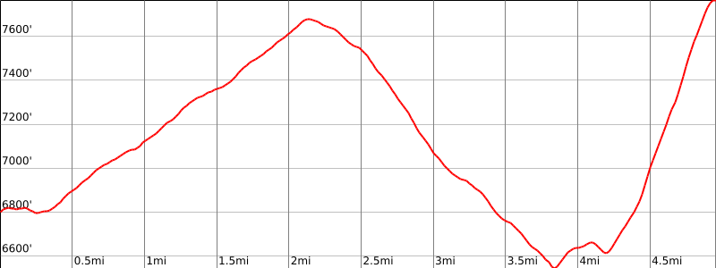
3200′ total, 2000′ out plus 1200′ on return
Navigation Difficulty
Easy
Distance
11 miles round trip on trail
Estimated time
7 hours round trip
Route Rating
Class 1, strenuous
Leader Rating Required
O

Driving route

From the intersection of I-210 and Angeles Crest Highway (SR 2), drive north on Angeles Crest Highway about 34 miles to a parking area on the left, just past the Mt. Waterman ski lift. Park here. There is a restroom down the steps just below the road.

Hiking route

From the parking area (6740′), hike across the road from the parking area to a signed trailhead.
Follow the trail to a trail junction at 7720′. This is the turnoff for Waterman Mountain.
Keep left and continue down to a second fork at 7120′.
Keep left at this fork and follow the trail down to the saddle at 6550′.
Continue on the trail which contours around a bump on your left and over to the base of Twin Peaks.
You now climb up a steep rugged zig-zag use trail about 1/3 mile to reach the summit. The summit is to your left.

Route Notes

Printable Route

Road Type

Paved

Google Maps Link to Trailhead 

Route 2- From Three Points
Elevation Gain
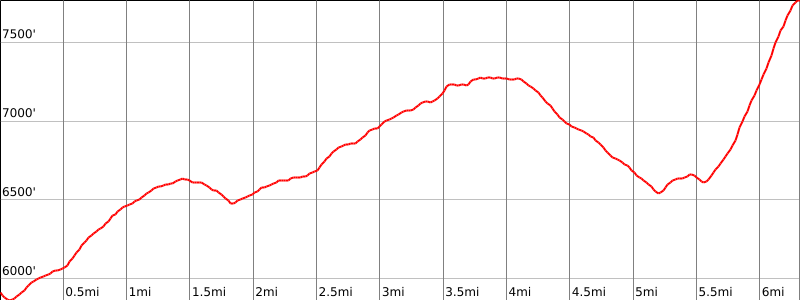
5100′ total, 3800′ out plus 1300′ on return
Navigation Difficulty
Easy
Distance
15 miles round trip on trail
Estimated time
8 hours round trip
Route Rating
Class 1, strenuous
Leader Rating Required
O

Driving route

From the intersection of I-210 and Angeles Crest Highway (SR 2), drive north on the Angeles Crest Highway 26.5 miles to the intersection with Sulphur Springs Road on the north (Three Points). Turn left (north).
Drive a very short distance to a parking lot on the left with restrooms. Park here.

Hiking route

From the parking area (5920′), the Pacific Crest Trail (PCT) starts near the restroom. Follow it down the hill and across Angeles Crest Highway.
It turns east and climbs a short distance to a trail fork. The PCT goes left.
Go right and follow this Waterman Mountain trail around the south side of Waterman Mountain for about 3.5 miles, reaching an elevation of 7300′, until it reaches another fork at 7000′. This is the turnoff for Waterman Mountain.
Keep right at this fork and follow the trail (10W04A) down to the saddle (with sign) at 6550′.
Continue on a good use trail which contours around a bump on your left and over to the base of Twin Peaks at 6580′.
You now climb up a steep rugged zig-zag use trail about 0.8 mile to reach the summit. The summit is to your left.

Route Notes

Printable Route

Road Type

Paved

Google Maps Link to Trailhead 

Nearby Peaks

Backus Peak
Owens Peak
Black Mountain #5
Morris Peak

External Links

mountain 1

Peakbagger.com

Click Here

ranger-tower 1

Nearest ranger station

Click Here

g311

NOAA Forecast

Click Here

worldwide 1

Google Earth

Click Here

Photo Gallery