Peak Name
Elevation
feet
Status
Region
Range
Nearby peaks
Location
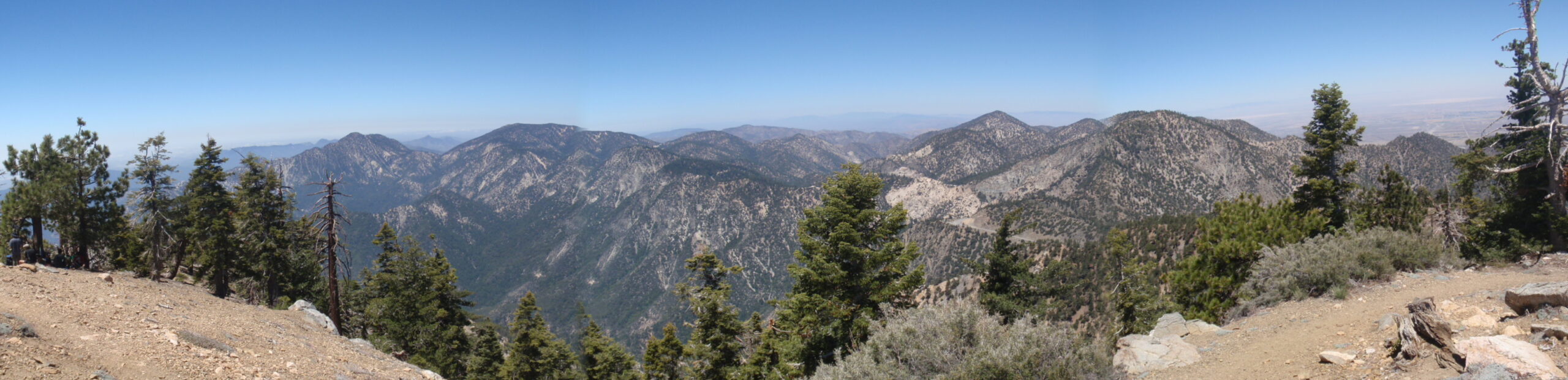
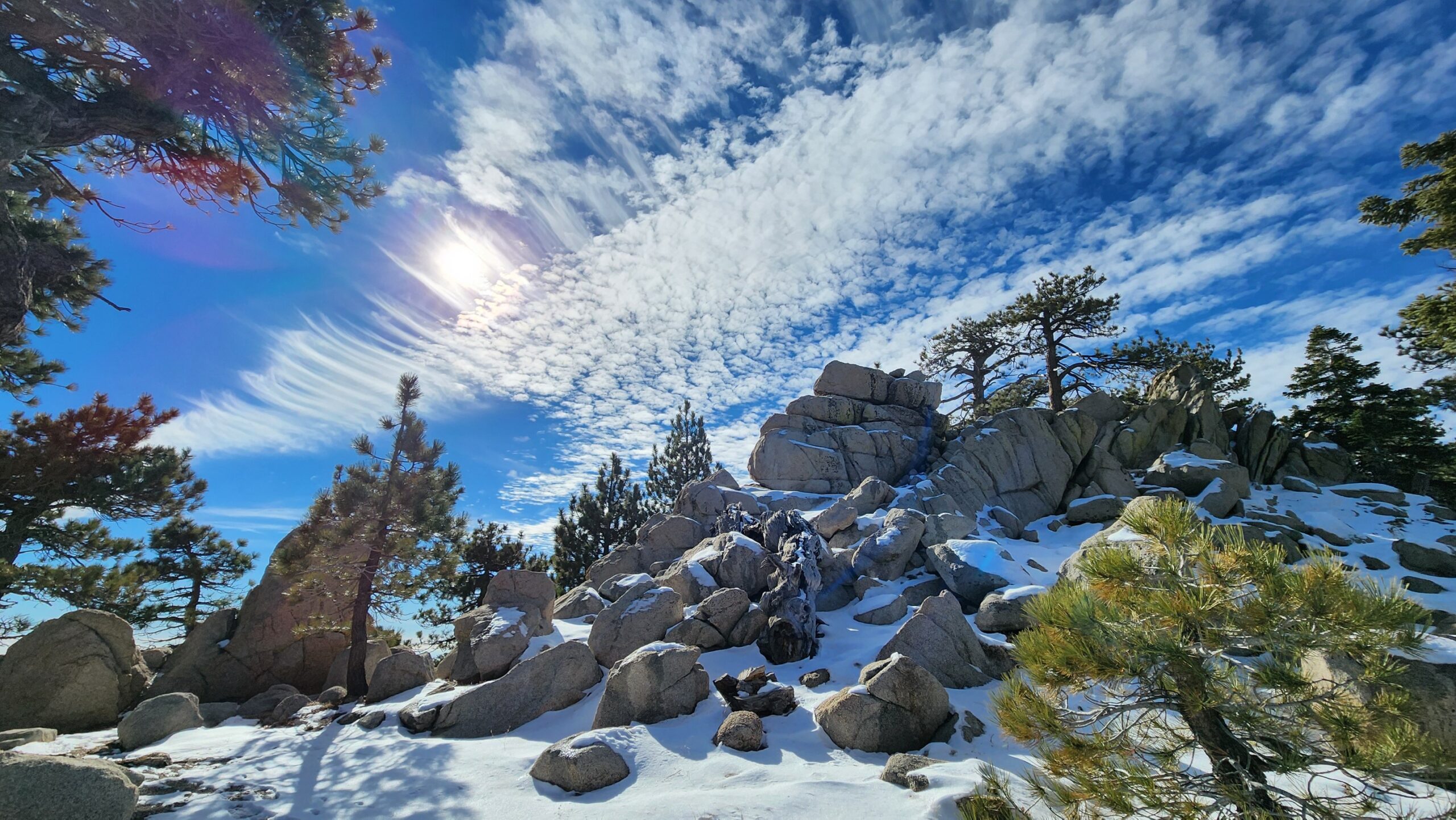
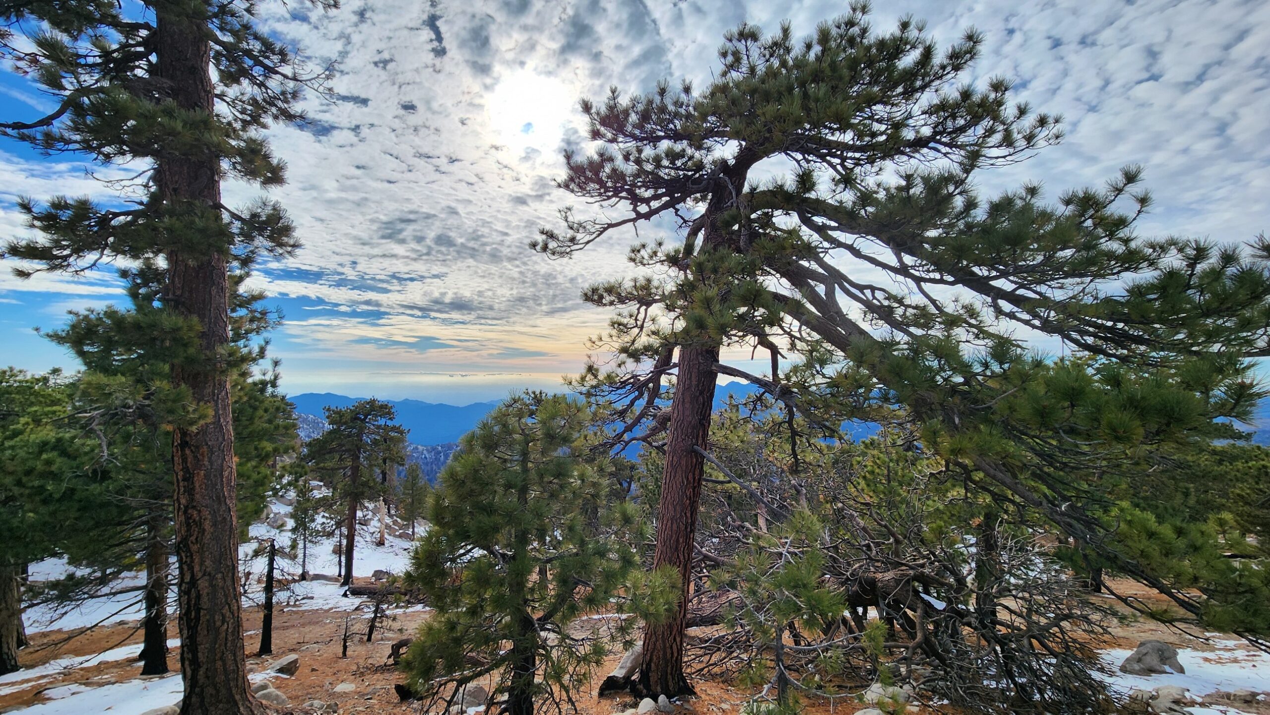
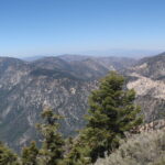
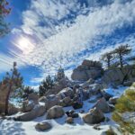
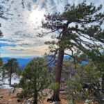
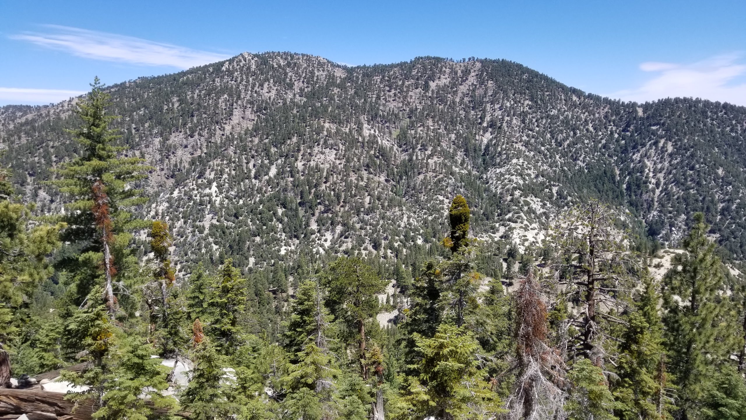
Waterman Mountain is a beautiful pine covered destination above Devils Canyon and Bear Creek which offers great views of the neighboring peaks to the north and especially of its closest neighbor, Twin Peaks. Waterman is a great summer hike or winter snowshoe with plenty of on and off trail options to summit.
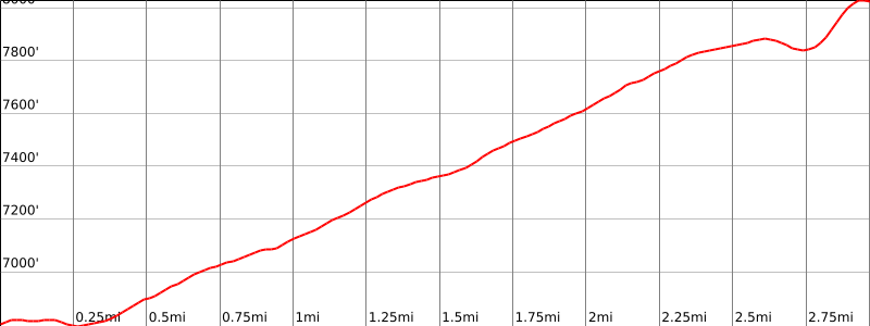
Route 1 is the shorter route to the top and follows the main trail winding its way to the top. It has a few great view spots off the trail. It is possible to turn this hike into a loop by hiking over to the Mount Waterman ski area and then following the dirt road all the way down to where you began the trail. Route 2 is a long hike from Three Points and it is a great way if you want to summit Twin Peaks and Waterman Mountain in one long day.
Maps generated from CalTopo.com, reproduced with permission
Driving route
From the intersection of I-210 and Angeles Crest Highway (SR 2), drive north on Angeles Crest Highway 9.5 miles to Angeles Forest Highway. Keep straight.
Continue about 4.5 miles to the junction with the Mount Wilson Road at the Red Box Ranger Station. Keep straight.
Continue 19.8 miles farther on Angeles Crest Highway to a parking area on the left, just past the Mt. Waterman ski lift. Park here. There is a restroom just below the road at Buckhorn Ranger Station.
Hiking route
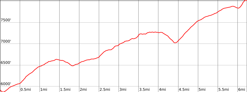
From the parking area (6740′), hike southeast along the road about 200′ to a gated dirt road on the south side.
Pass the gate and turn left (east) on a trail just past the gate.
Follow the trail to a trail junction at 7720′. This is the turnoff for Twin Peaks.
Keep right and follow the trail as it ascends to a saddle on the summit ridge.
Leave the trail on the left (south) and go a few hundred feet to the summit. The rocks seen 1/4 mile to the north may look higher but are not.
Driving route
From the intersection of I-210 and Angeles Crest Highway (SR 2), drive north on Angeles Crest Highway 9.5 miles to Angeles Forest Highway. Keep straight.
Continue about 4.5 miles to the junction with the Mount Wilson Road at the Red Box Ranger Station. Keep straight.
Continue 13.5 miles farther on Angeles Crest Highway to the intersection with Sulphur Springs Road (Three Points). Turn left (north).
Drive a short distance to a parking lot on the left with restrooms. Park here.
Hiking route
From the parking area (5920′), the Pacific Crest Trail (PCT) starts near the restroom. Follow it down the hill and across Angeles Crest Highway.
It turns east and climbs a short distance to a trail fork. The PCT goes left. Go right.
Follow this trail around the south side of Waterman Mountain until it reaches another fork (7000′). This is the turnoff for Twin Peaks.
Keep left and continue to a third fork (7560′) where you meet Route 1.
Keep left again and follow the trail as it ascends to a saddle on the summit ridge.
Leave the trail on the left (south) and go a few hundred feet to the summit. The rocks seen 1/4 mile to the north may look higher but are not.
Route Notes
Note: There are a variety of cross-country approaches to shorten the distance to the summit.
Additional Peak Information
Historical notes: Robert Waterman originally named this peak Mount Lady Waterman after his wife, the first white woman to climb it. Later according to tradition in the Forest Service, the mountain was named for him instead. Waterman was active as a Forest Ranger 1904-1908, in the old San Gabriel Timberland Reserve.


You must be logged in to upload images.