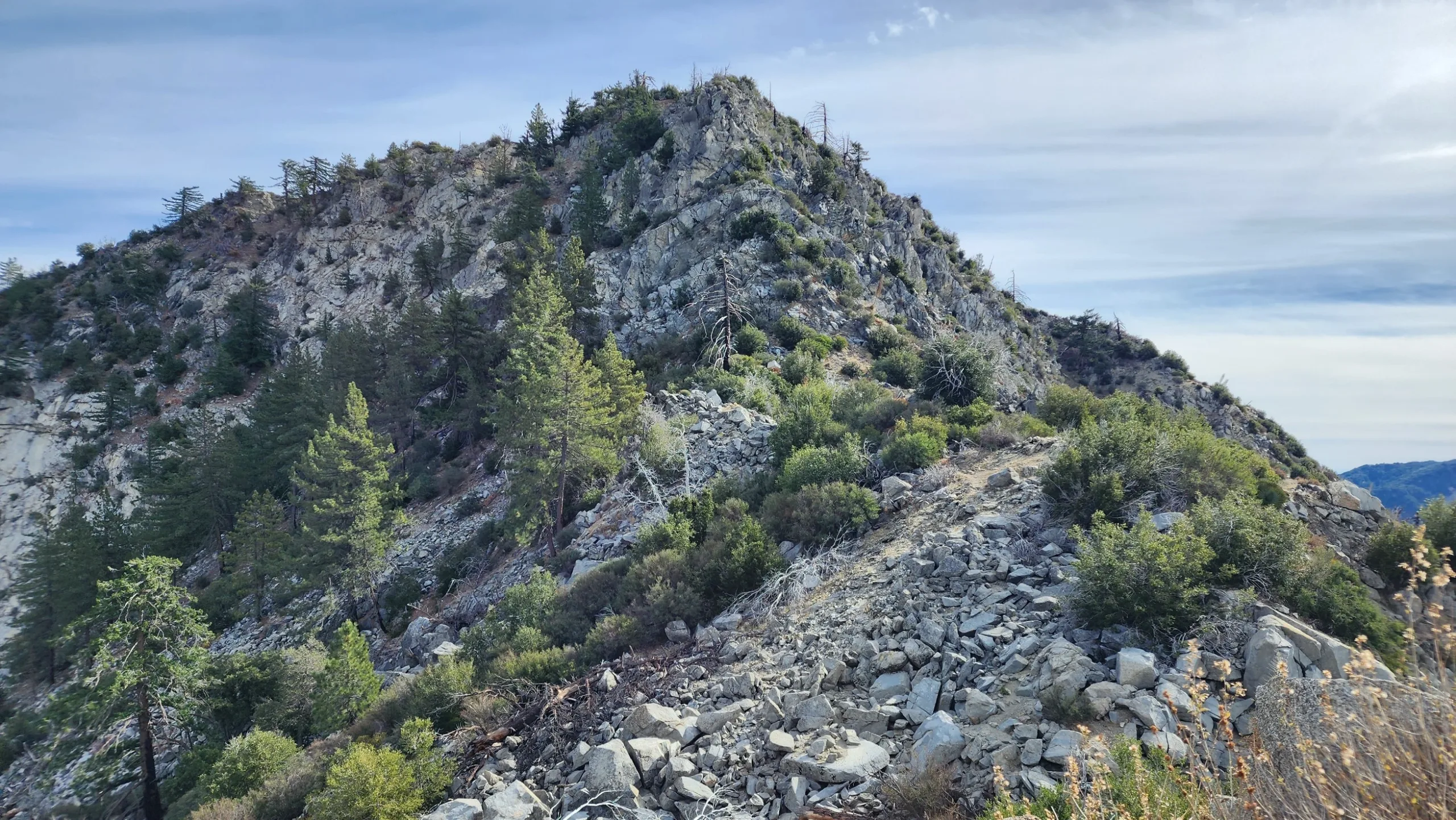
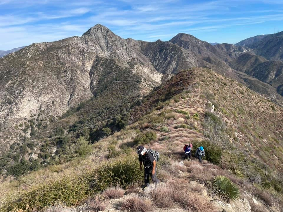
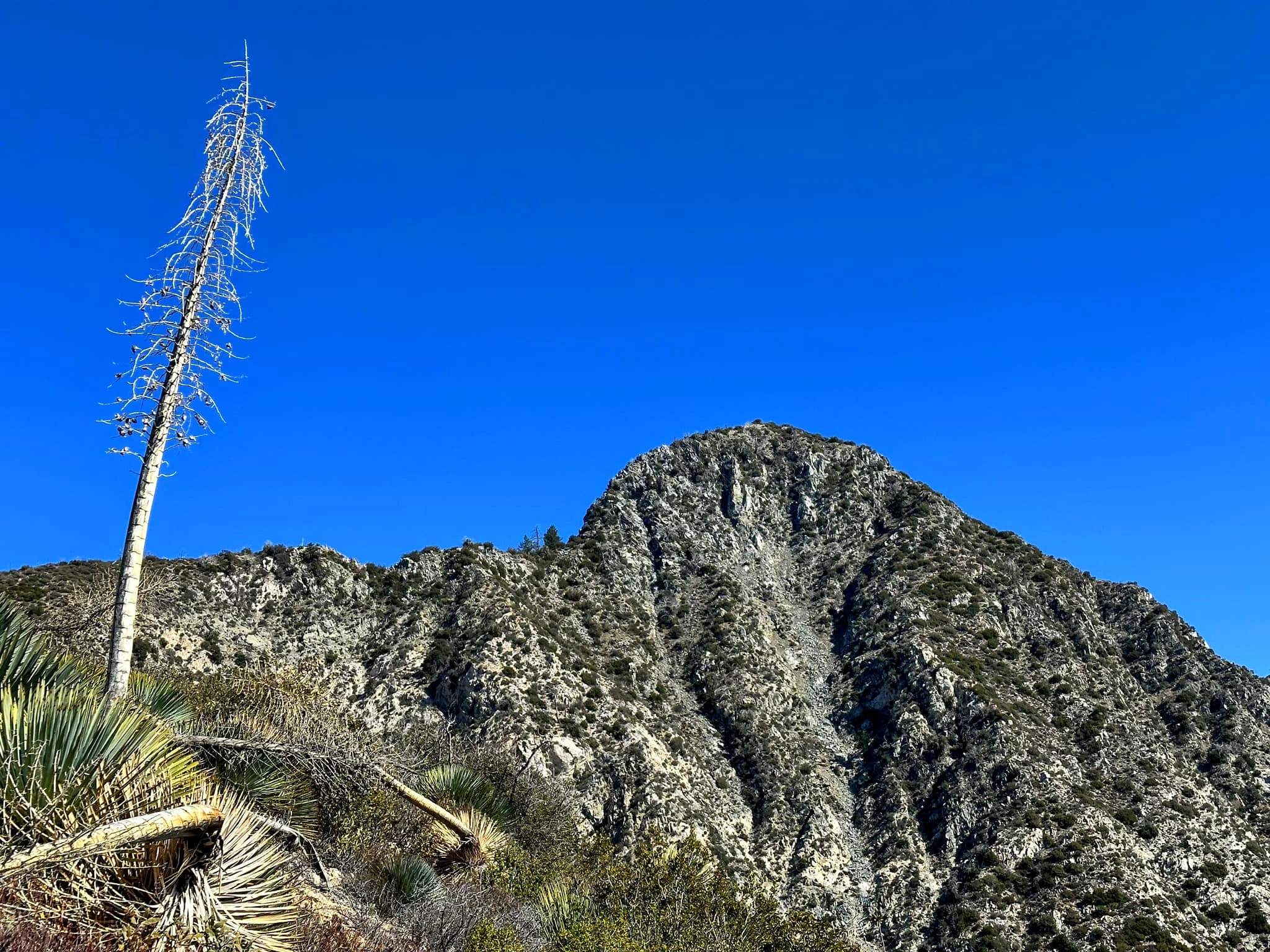
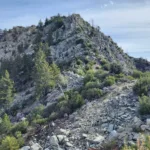
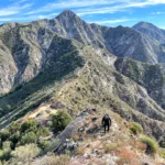
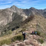
Strawberry Route 2, final ridge, photo by Chris Waldheim
Strawberry Peak from Mount Lukens, photo by Chris Waldheim
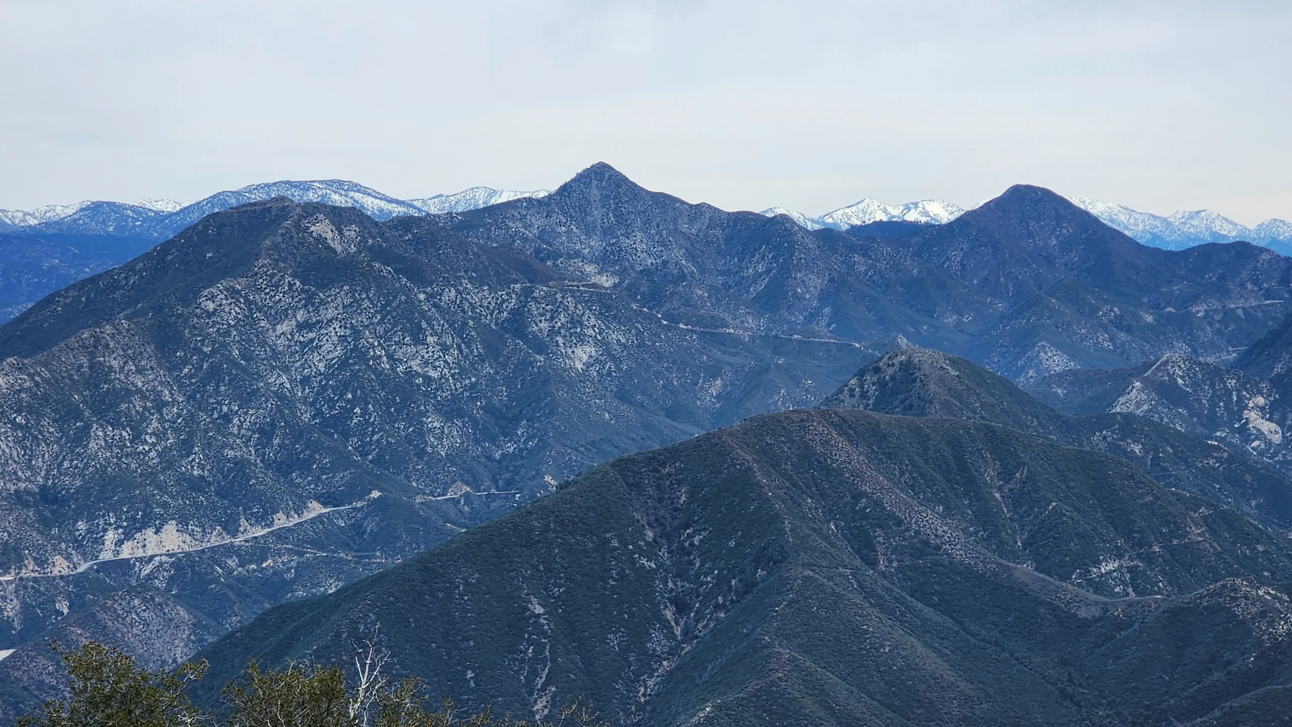
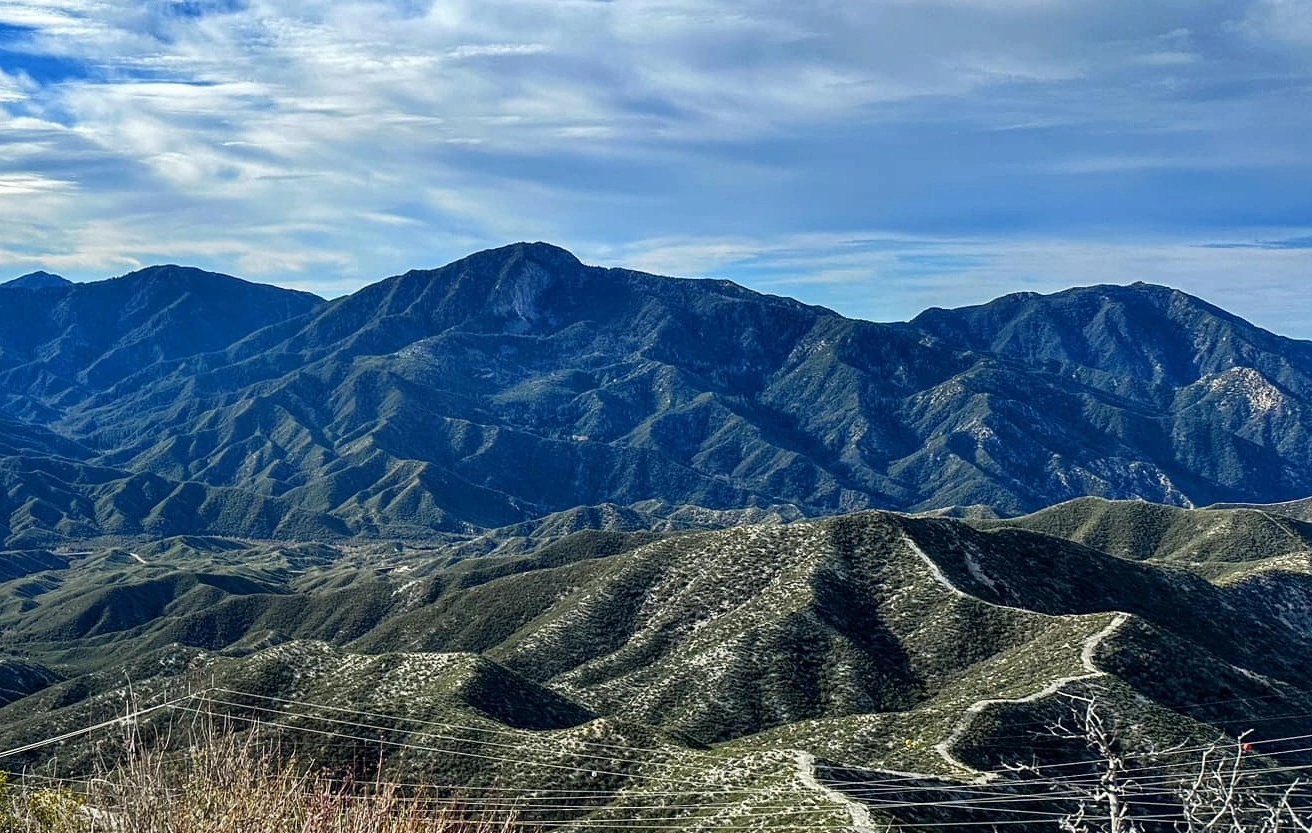
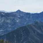
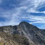
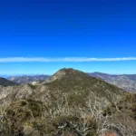
Strawberry Peak, taken from San Gabriel Peak, photo by Chris Waldheim
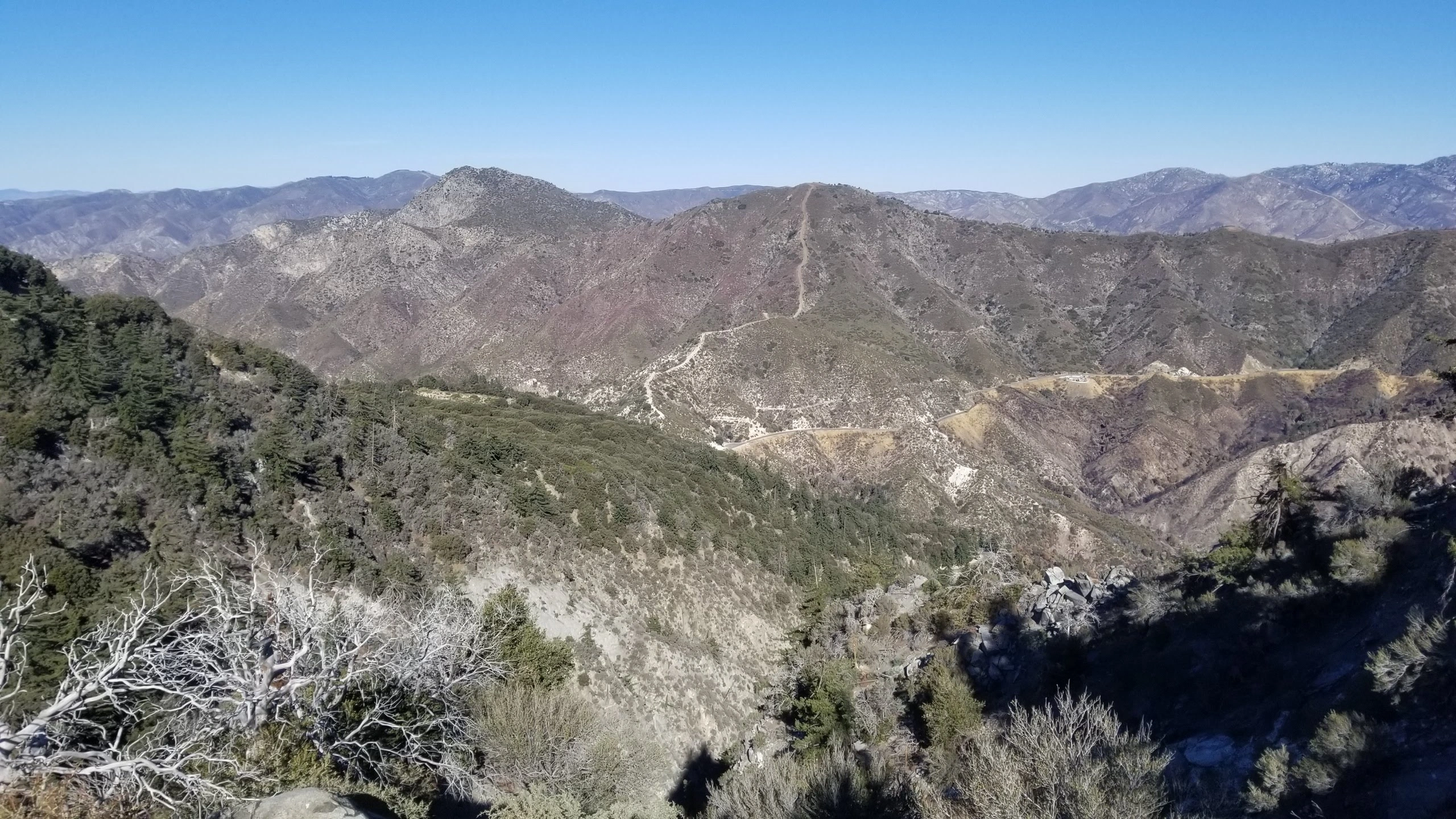
Strawberry, photo by Sunny Yi
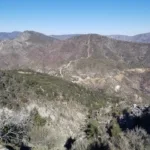
Strawberry Peak, taken from Josephine Peak, photo by Sunny Yi
Lawlor Strawberry and Josephine, taken from the Little 4, photo by Sunny Yi
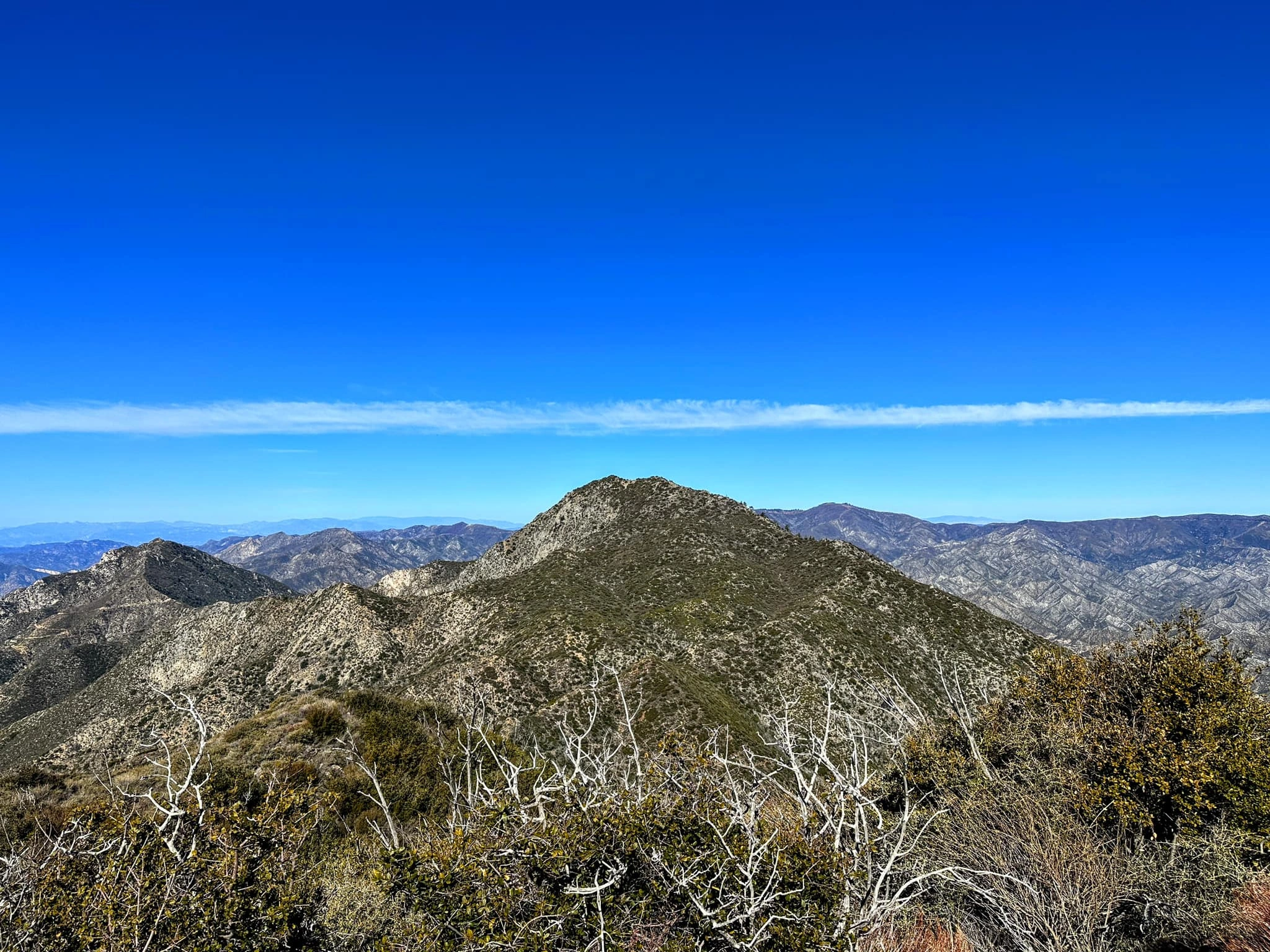
Strawberry, taken from Josephine Peak, photo by Sunny Yi
Strawberry Peak, taken from Lawlor, photo by Sunny Yi
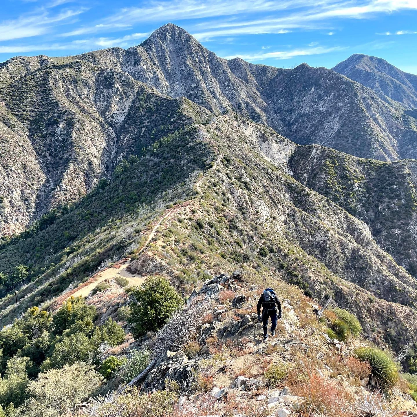
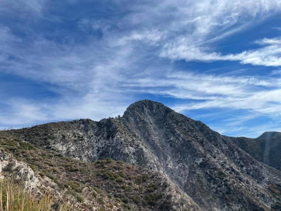
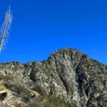
Strawberry, taken from the West showing third class route, photo by Sunny Yi


Peakbagger.com

Nearest ranger station

NOAA Forecast

Google Earth


