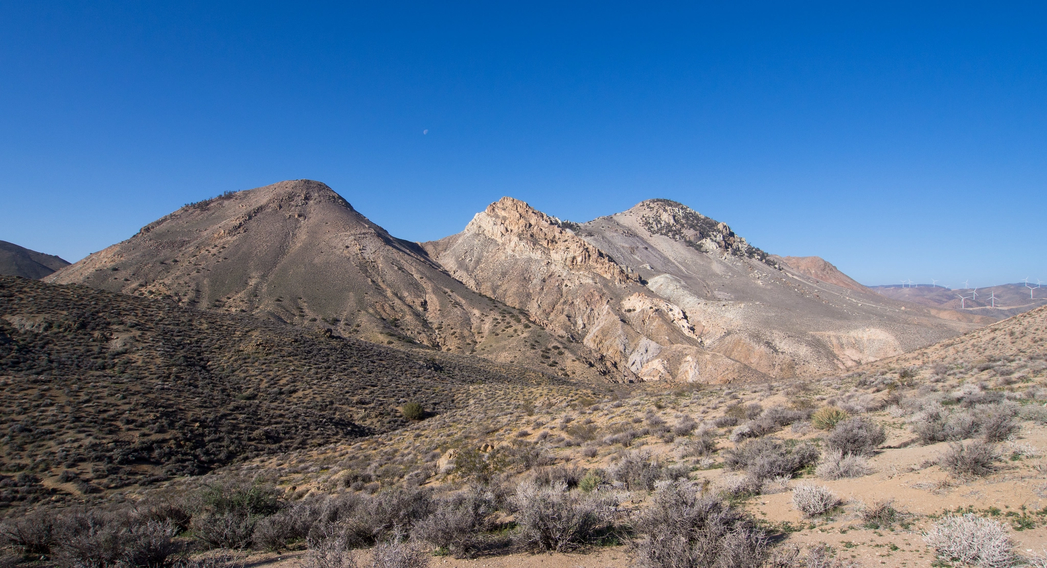
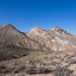
Chuckwalla Mountain on the Left, Cross on the Right, photo by Kathy Wing

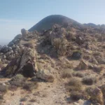
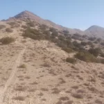
Chuckwalla Mountain, photo by Steve Russell
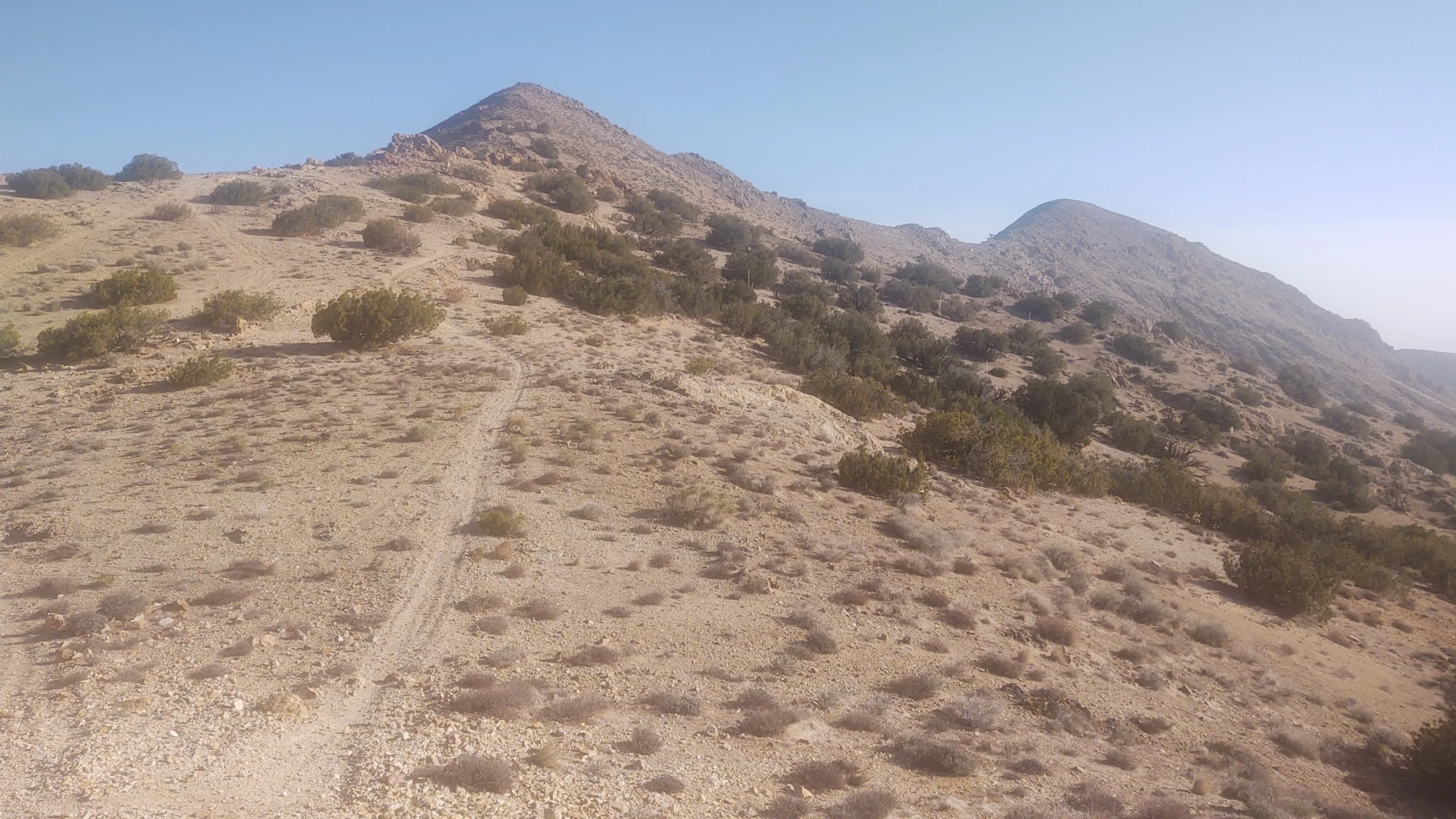
Chuckwalla Mountain, photo by Steve Russell
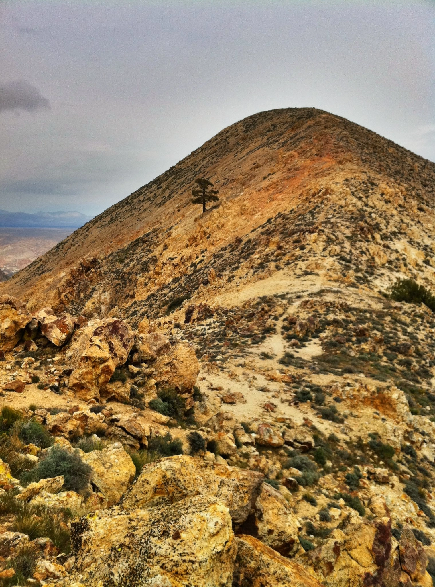
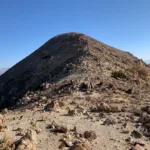
Chuckwalla Summit, photo by Mars Bonfire
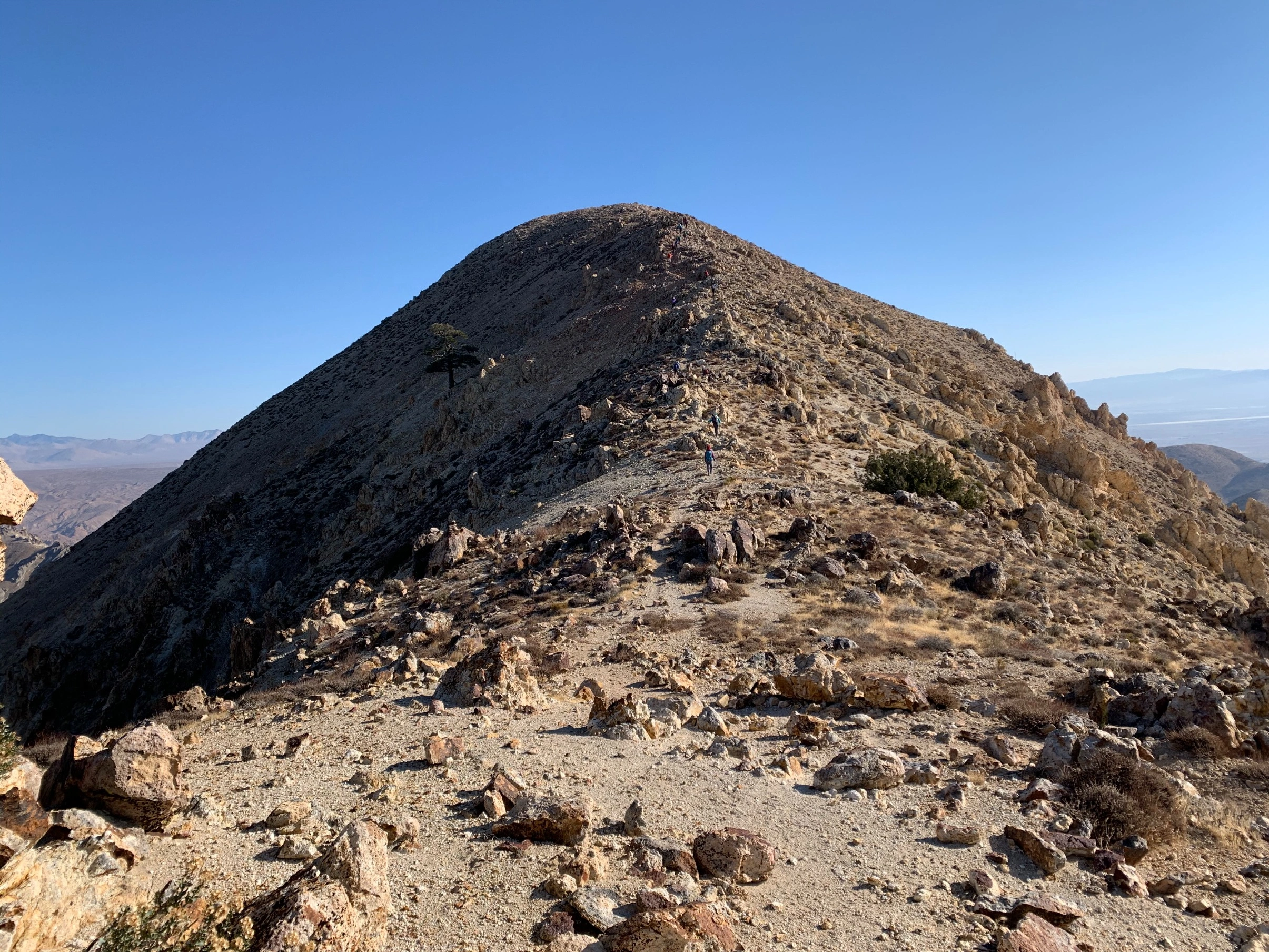
Chuckwalla Summit, photo by Sharon Moore


Peakbagger.com

Nearest ranger station

NOAA Forecast

Google Earth


