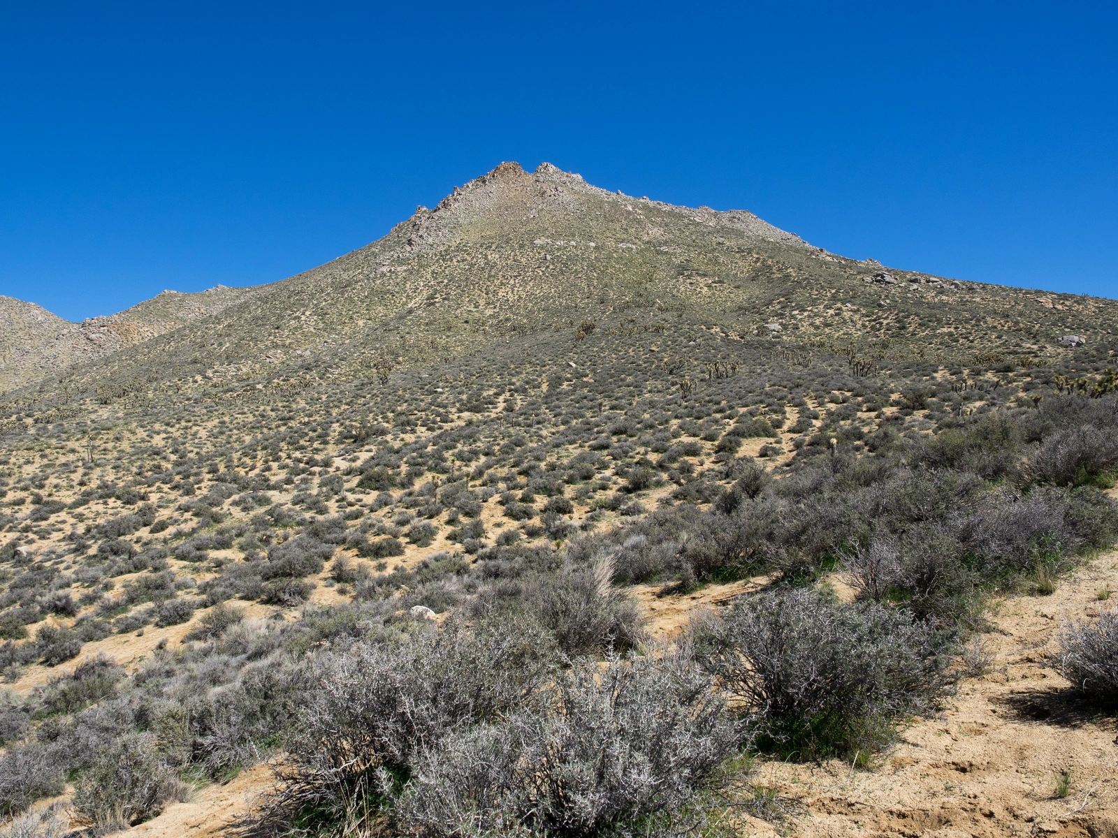
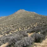
Mayan Peak, photo by Kathy Wing
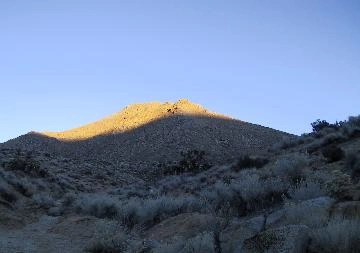
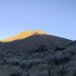
Sunset on Mayan Peak, photo by Karen Leverich


Peakbagger.com

Nearest ranger station

NOAA Forecast

Google Earth


