Peak Name
Elevation
feet
Status
Region
Range
Nearby peaks
Location
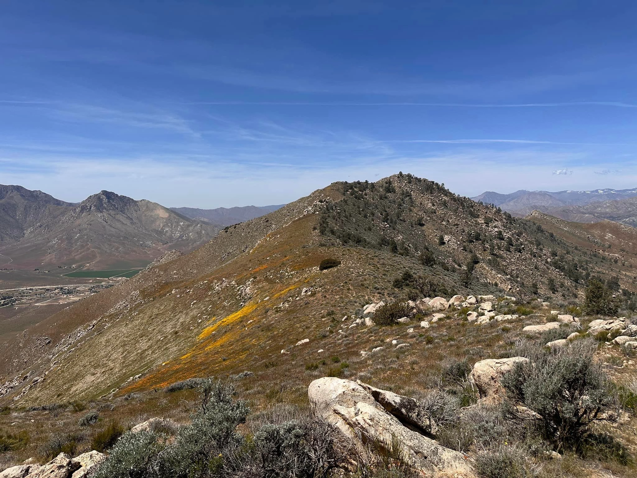
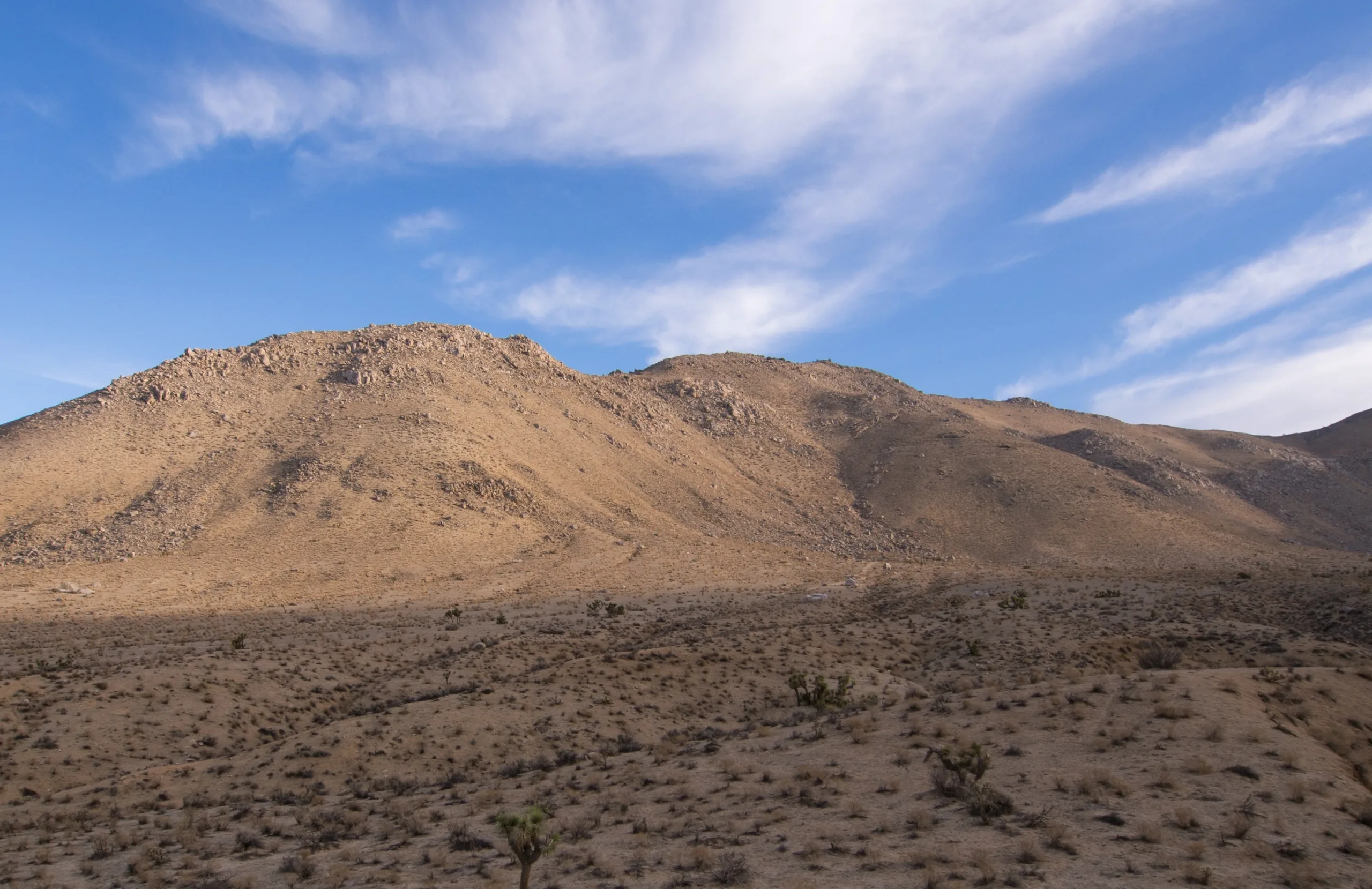
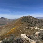
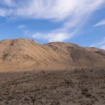
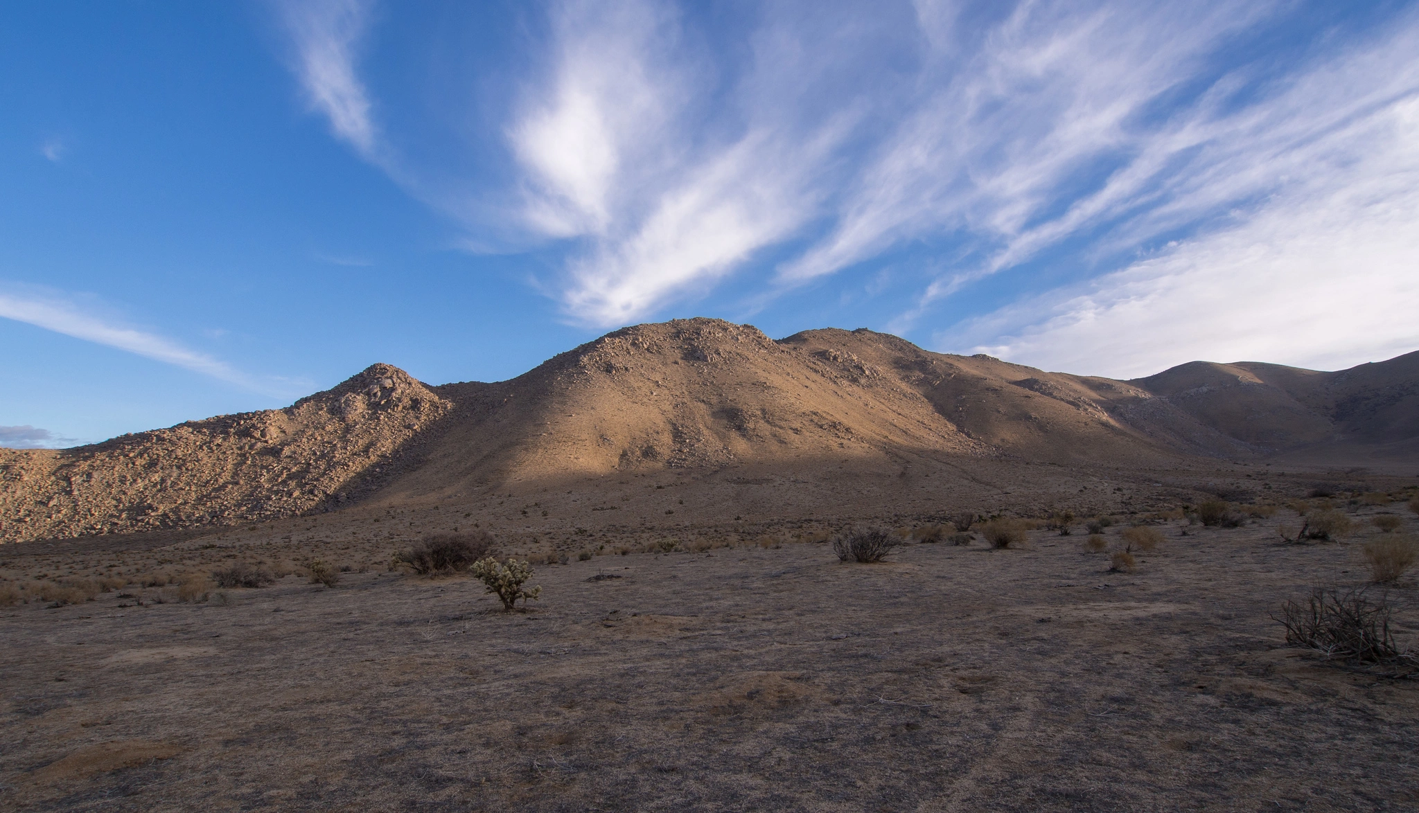
Onyx is situated within the Kiavah Wilderness in the Scodie Mountains at the southeast end of the Sierra Nevada on BLM land. This area is the transition zone between the Sierra Nevada and the Mojave Desert, with pinyon pine, juniper, and Joshua trees.
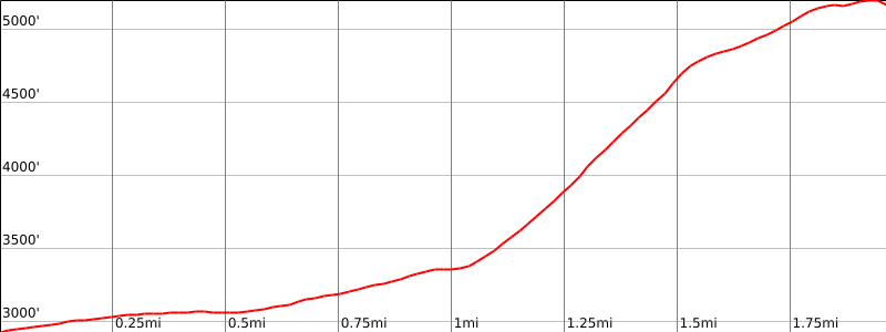
Route 1 has an initial steep ascent, followed by a more gradual climb to the summit, with outstanding views of Lake Isabella, Kelso Valley, and the peak to peak profile of Nicolls & Heald. It is often hiked together with Skinner Peak.
Maps generated from CalTopo.com, reproduced with permission
Driving route
From Los Angeles take SR 14 through Mojave to the Walker Pass Road (SR 178). Turn left (west).
Go about 29 miles to the Kelso Creek Road on the left. Turn left.
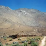
Go 2.8 miles to the Short Canyon Road (unsigned) on the left which is just before a white fence on the left. Turn left.
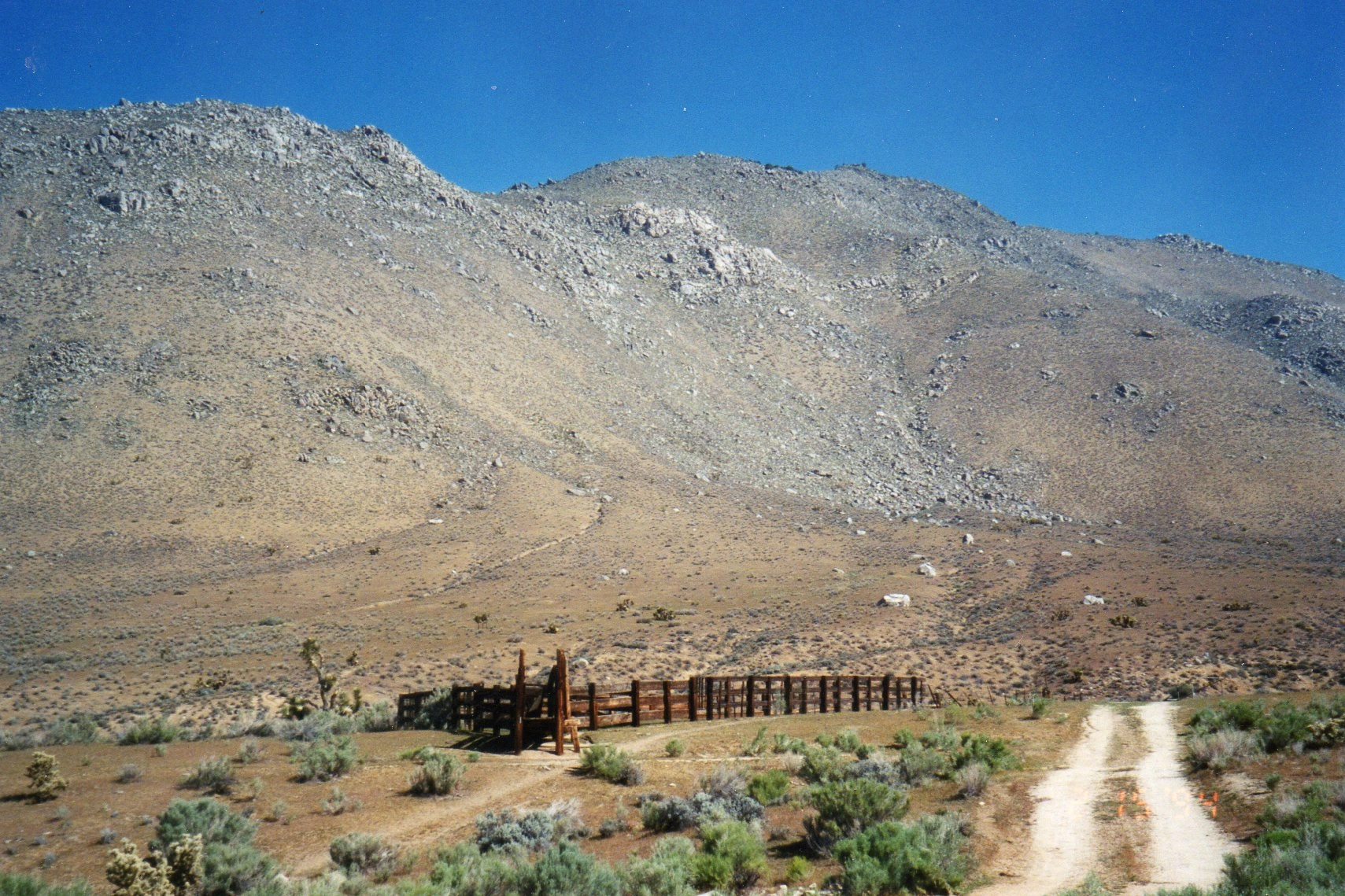
Go 1/4 mile to a cattle guard barred by a locked cable, with a BLM sign “Short Canyon Road”. Park here.
Hiking route
From the parking area (2930′), pass the gate and go up the road toward the stone water tank.
From here head due north up either an obvious gully or the wide ridge just to its right to a shallow saddle at the top of the ridge at about 4800′.
Turn right and follow the ridge northeast to the ridge split at 5160′.
Then go left (north) about 200 yards to the main summit, going around to the right, then up, following a route that is probably ducked.
Additional Peak Information
Special conditions: Scodie Mountain, Pinyon Peak, Onyx Peak #2, and Skinner Peak lie in the Kiavah Wilderness which is bounded on the south by the road over Bird Spring Pass and on the north by SR 178 and Walker Pass. On Onyx, you enter the Wilderness near the gate. Don’t drive beyond the (usually closed) gate. It is also possible to drive to this point from the south via Jawbone and Kelso Canyons. This enables you to combine this peak with others in area 2, such as Mayan Peak.


You must be logged in to upload images.