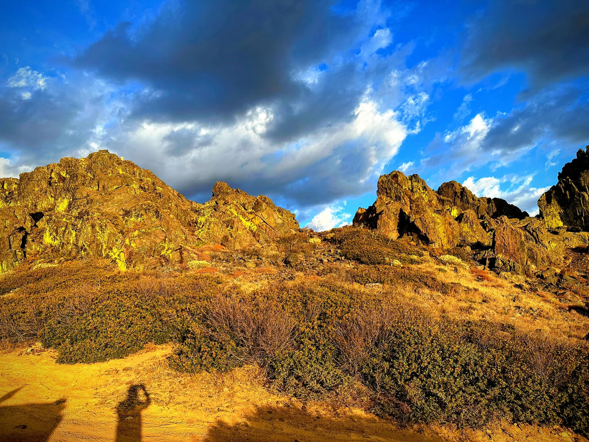
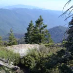
Bald Eagle Peak, photo by Sunny Yi
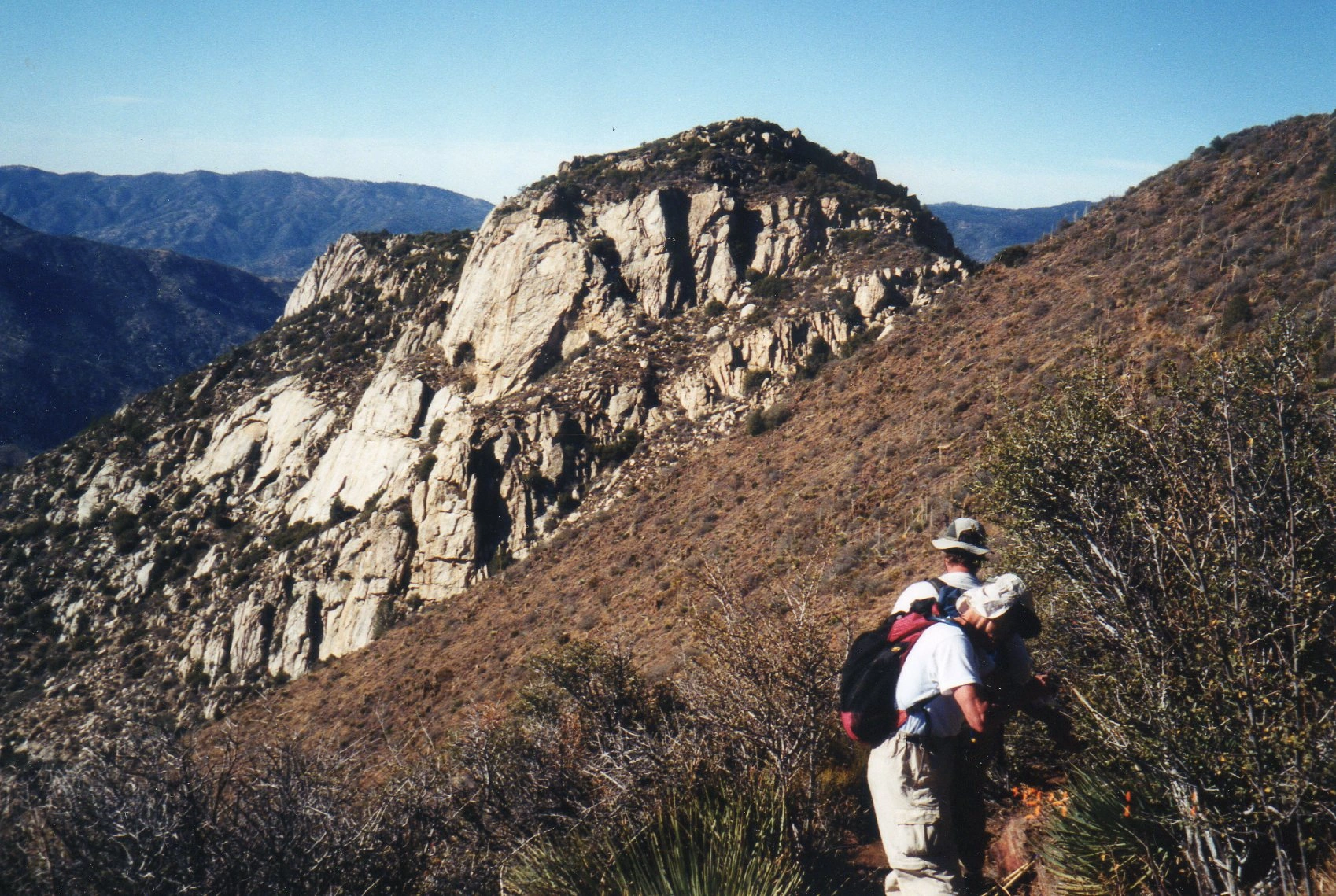
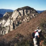
Bohna Peak, taken from Sunday Peak, photo by Valerie Norton
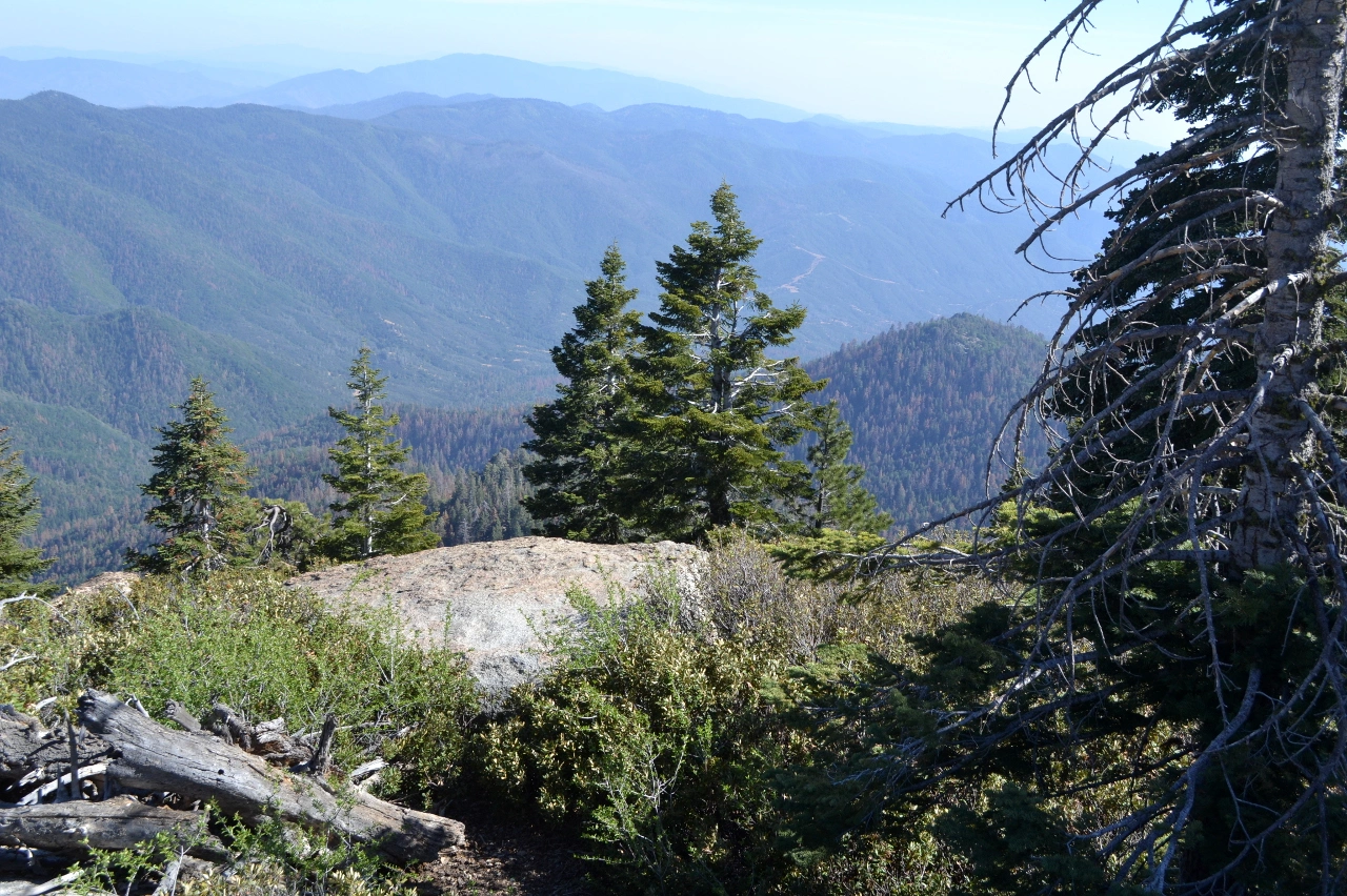
Bald Eagle, photo by Janet Howell
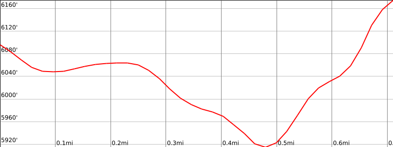


Peakbagger.com

Nearest ranger station

NOAA Forecast

Google Earth


