Peak Name
Elevation
feet
Status
Region
Range
Nearby peaks
Location
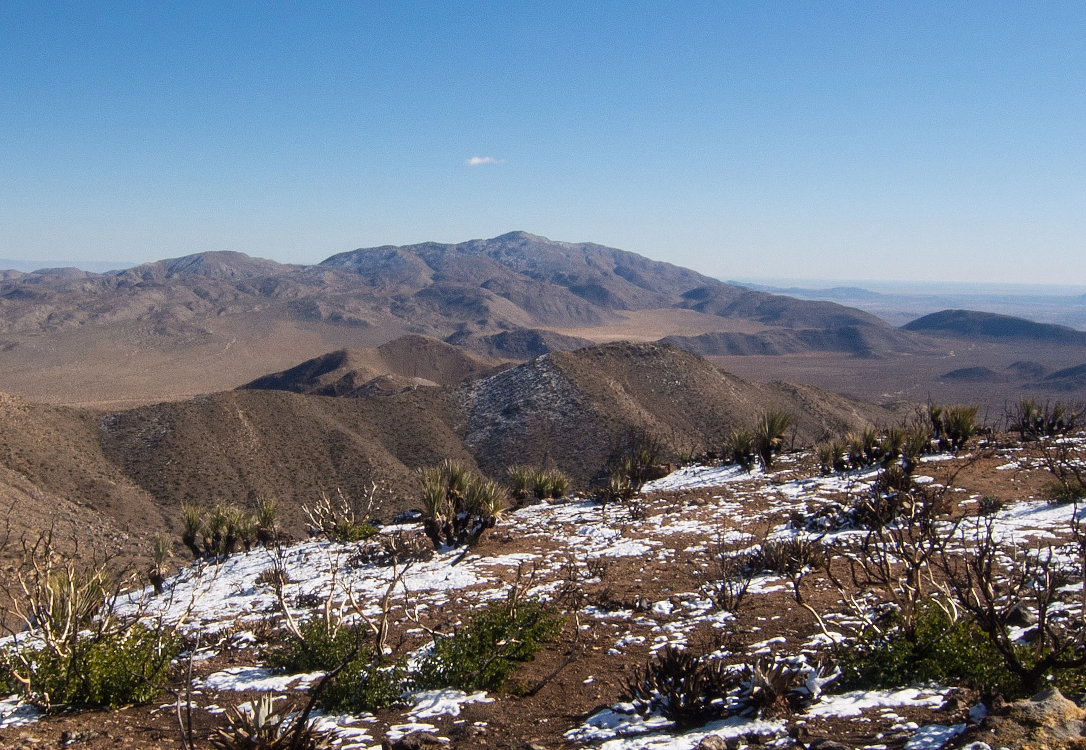
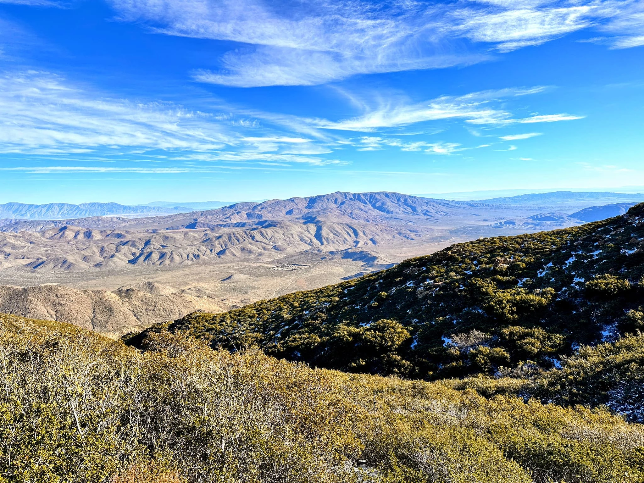
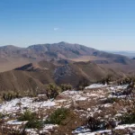
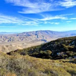
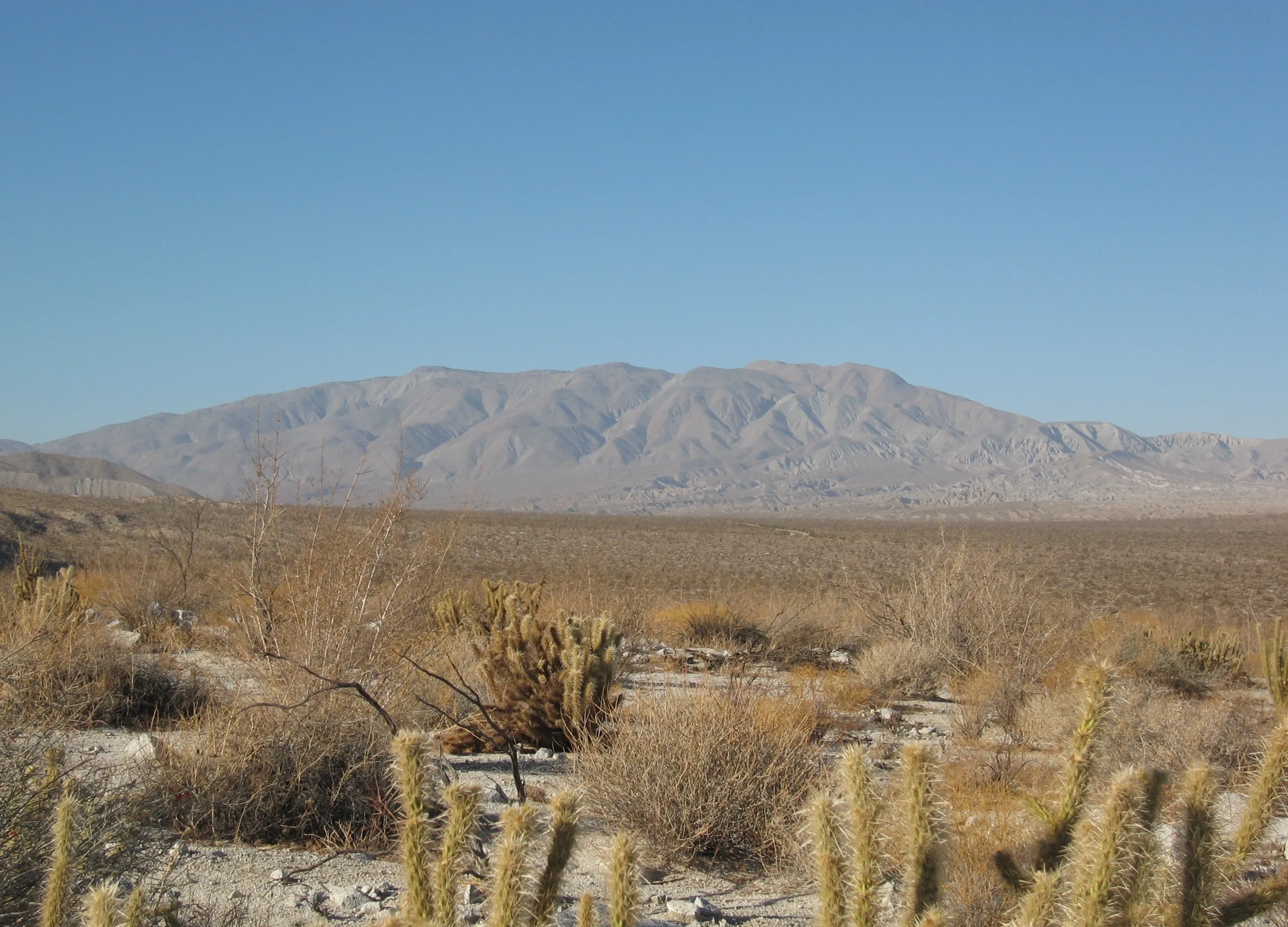
Whale Peak, a favorite of many HPS leaders, does indeed resemble a cetacean from some directions. The desert in this area offers an interesting blend of Colorado and Mojave desert features: woodlands of pinyon pines and juniper interspersed with chaparral and cholla and high sandy plateaus, and sweeping views of the Anza Borrego Desert in all directions with the Salton Sea to the east. For those living in the Los Angeles area, a trip in the spring or fall to Anza Borrego to bag Whale and Granite and explore this amazing state park and the town of Borrego Springs makes an excellent weekend outing.
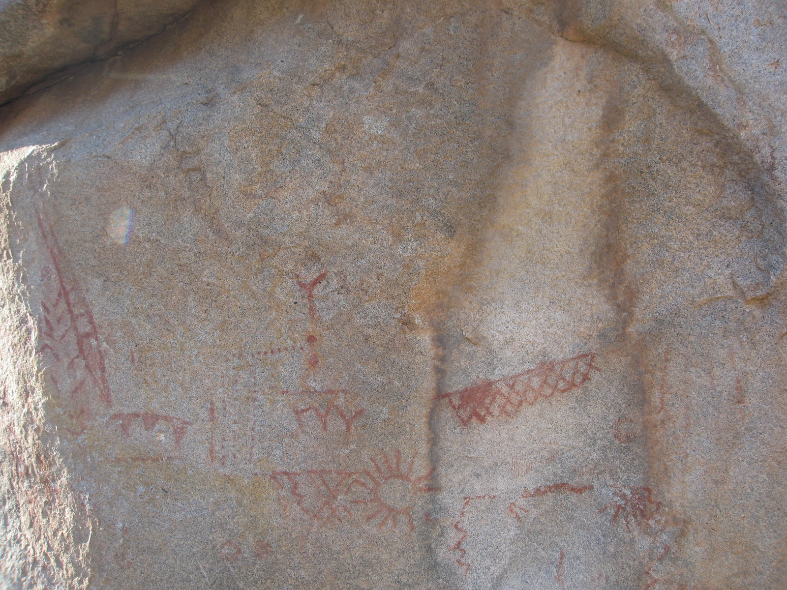
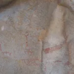
Route 1 starts from Little Blair Valley to enter Smuggler’s Canyon. Be sure not to miss the petroglyphs next to the trail before entering the canyon. The trail goes up the rugged canyon, over some class 2+ dry falls, then departs up the side of the canyon before reaching its top. Navigation can be a little challenging here, but the peak soon comes into view and the trail improves once it meets Route 2. If you miss your turn you will meet Route 2 at the top of the canyon, so everything is ok. Route 2 starts from the north from a high clearance road and weaves between formations to join Route 1. The final section to the peak is steep and rocky but with good footing.
The driving route to Route 1 passes Ghost Mountain, with its interesting history. Writer Marshal South built an adobe and raised a family here between 1930 and 1947, living in primitive conditions and writing about their experiences. The ruins of their home can still be found there, a short hike from the road.
Maps generated from CalTopo.com, reproduced with permission
Driving route
Take I-15 south to Temecula.
Go southeast on SR 79 about 38 miles to Warner Springs.
Continue 3 miles on SR 79 to the intersection with S2 on the left. Turn left.
Go southeast on S2 about 17 miles to SR 78 (Scissors Crossing).
Jog 1/3 mile west on SR 78 (right) and continue on S2 for 6.0 miles to a dirt road on the left (east) signed “Blair Valley”. This is just before mile marker 23. Note your odometer and go as follows:
At 0.1 mile, a fork. Go right. (Do not take the hard right turn to the restroom.)
At 1.4 miles, fork signed “Pictographs”. Keep right.
At 2.6 miles, fork. Keep right.
At 3.0 miles, fork signed “Pictographs”. Keep left.
At 3.3 miles, fork signed “Pictographs”. Keep left.
At 3.9 miles, Monteros, an ancient Indian Village. Keep straight.
At 4.0 miles, fork signed “Pictographs”. Keep right.
At 5.3 miles the road ends at a turn-around. Park here.
Hiking route
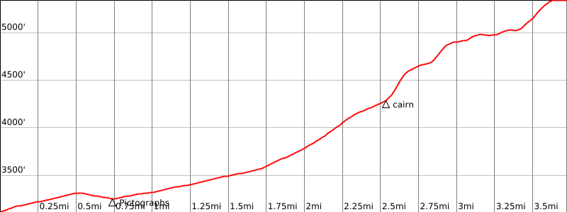
From the parking area (3120′), hike east along a trail about ¾ mile to the pictographs.
Turn left (north) and hike a second mile up the wide draw (labeled “Smuggler Canyon” on the topo) around to the end of the ridge descending from Whale Peak.
Then go east-northeast into a canyon that descends from the mountain. (The canyon isn’t evident against a hillside of rocks, but the wash out of the canyon is evident.)
Ascend the canyon ¾ mile to about 4300′ and find ducks on a big rock on the right side of the canyon. There are some class 2+ dry falls in the gully above about 3800′, easier to descend than to ascend.
Climb steeply southeast up the side draw above the rocks to the flat area at 5000′ where you intercept the trail for Route 2. (It is perhaps easier, though a bit longer, to continue NE up to the top of the gully to intercept the trail for Route 2.)
Alternate route: There are other possible routes to the summit starting from the pictographs, including form the south of the summit.
Driving route
Take I-15 south to Temecula.
Go southeast on SR 79 to Warner Springs.
Continue 3 miles on SR 79 to the intersection with S2 on the left. Turn left.
Go southeast on S2 about 17 miles to SR 78 (Scissors Crossing).
Jog 1/3 mile west on SR 78 (right) and continue on S2 for 4.4 miles to the State Park boundary. Turn left on Pinyon Mountain Road (dirt).
Note your odometer and go as follows:
Keep right at an immediate fork.
At 3.8 miles, large rocks in the road. This will be a problem for most vehicles. Vehicles other than high clearance 4WD may high center on rocks.
At 4.3 miles, fork. Keep right. Just past this spot is a fork to the right and a flat area suitable for camping. Continue straight at this fork.
At 5.7 miles, a fork. Turn right.
At 6.0 miles, a parking area at the end of the road. Park here 4120′).
Hiking route
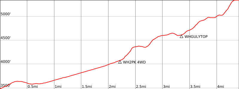
From the parking area (3500′) hike on the road described in the driving directions to the 4WD parking area.
Hike south up a short canyon to a large level area.
Cross this area in a southeast direction toward the visible ridge.
A ducked route on this ridge goes up to the left around its east end to another flat area.
Head south across this and follow the occasionally ducked route up and around the ridges on the left to 4640′, the head of Smugglers Canyon, which drops off to the right.
Follow the ducks south up the side of the ridge ahead to about 4800′. Then change direction to southeast and enter a little grassy valley that runs parallel to the Whale Peak ridge. There is a sandy path leading across it directly eastwards to a point just below the west-northwest side of the peak.
Climb up the slope to the saddle due west of the peak at 5150′. From here go east up to the summit plateau and then to the summit boulder at the east end of the plateau. The sign-in register is often located inside a rock shelter at the base of the summit boulder.
The use trail is difficult to follow in places. There are many ducked routes that apparently go nowhere.
Route Notes
Additional Peak Information
Notes: The peak is located in Anza-Borrego Desert State Park.
Special conditions: The ducks described may or may not be in place. With the passage of time ducks disappear or are destroyed. There may be ducked routes which are not the correct route.


You must be logged in to upload images.