Skinner Peak

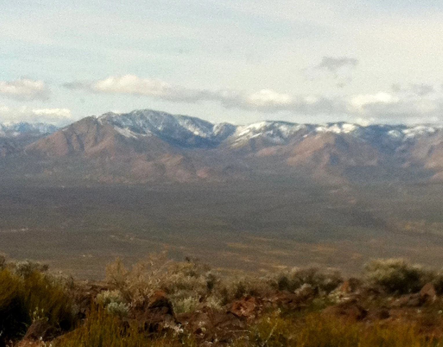
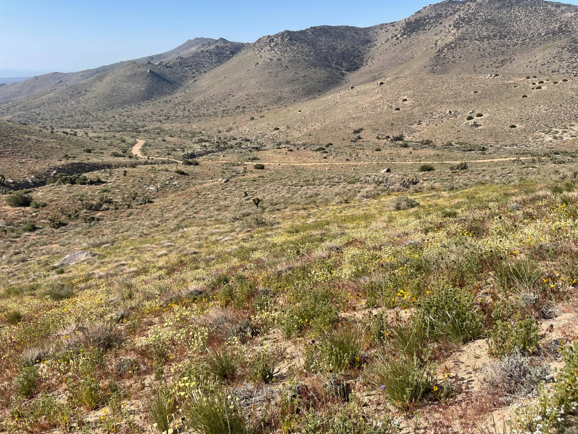
Skinner Peak, taken from Route #1, Photo by Jim Hagar.

Peak Name

Skinner Peak
02P

Elevation

7120

 feet

Status

active

Region

Southern Sierra South Of Hwy 178

Range

Scodie Mountains

Nearby peaks

Location

35.5666217,-118.1267411

Description

Skinner Peak is in Sequoia National Forest adjacent to the Kiavah Wilderness, where the southeast end of the Sierra Nevada meets the northwest end of the Mojave Desert, making for an interesting mix of flora and fauna.

Both Route 1 from the south and Route 2 from the north mostly follow the PCT for a steady gentle ascent with pretty views. Route 1 starts from Bird Spring Pass, the same pass discovered by John C. Fremont and Kit Carson when snow blocked their entry through Walker Pass. There is an enjoyable scree descent that can be used when returning from Route 1. Route 2 follows the PCT from the north to join Route 1.

Maps generated from CalTopo.com, reproduced with permission

Route 1- On PCT from the South
Elevation Gain
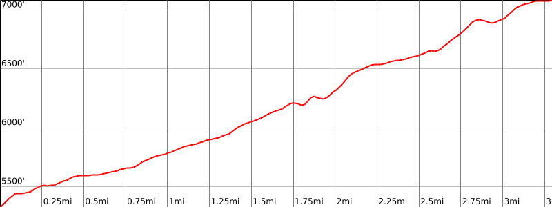
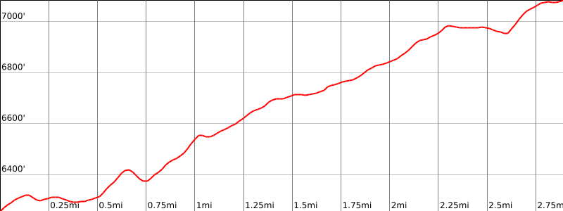
1900′ total, 1400′ plus 200′ on return
Navigation Difficulty
Moderate
Distance
8 miles round trip on trail and cross-country
Estimated time
3-4 hours round trip
Route Rating
Class 1, moderate
Leader Rating Required
“I”, normal conditions

Driving route

From Mojave, go north on SR 14 for 33.4 miles to a dirt road signed ‘SC 65’. Turn left. This is 13.9 miles north of Jawbone Canyon or 8.8 miles south of the westbound (Walker Pass) SR 178 junction with SR 14. Note your odometer and go as follows:
Cross an immediate cattle guard.
At 2.6 miles, a faint junction. Keep straight.
At 4.9 miles, a cattle guard and a covered aqueduct. Turn left (south). This is the turnoff for Route 1. Continue straight for Route 2. Note your odometer again.
At 0.6 mile, a cattle guard.
At 0.9 mile, junction with SC 106 to the right. Turn right (west).
At 1.3 miles, junction at a second aqueduct. Keep straight.
At 2.9 miles, SC 47 forks left. Keep straight on SC 106.
At 5.0 miles, fork with SC 120. Turn right (northwest) on SC 120.
At 9.0 miles, Bird Spring Pass. Park here.
Bird Spring Pass may also be reached by driving north on Jawbone Canyon Road 32.2 miles from SR 14 to the fork for SC 120 on the right (east). This fork is also 5.7 miles north of the Piute Mountain Road fork at Sageland. Drive east on SC 120 for 5.6 miles to Bird Spring Pass.

Hiking route

Hike north on the Pacific Crest Trail (PCT) from the parking area (5300′). The trail starts in a northeast direction, eventually switchbacks up the eastern slopes to the main ridgeline, and then heads westward toward the peak. Stay on the PCT to about 7000′ where it definitely starts downhill. Note: The PCT route is not as shown on the USGS topo map.
Turn left here, leave the trail, and go up to the ridge.
Go west along the ridge to the summit, which is a solitary rock just west of a clump of rocks and trees that you see first.
On the return trip it is possible to descend a great scree slope from elevation 6931′ down to the trail below. Turn right on the trail and follow it back to the parking area.

Route Notes

Printable Route

Road Type

High-clearance

Google Maps Link to Trailhead 

Route 2- On PCT from the North
Elevation Gain
900′
Navigation Difficulty
Moderate
Distance
5 miles round trip on trail and cross-country
Estimated time
2-3 hours round trip
Route Rating
Class 1, easy
Leader Rating Required
“I”, normal conditions

Driving route

From the turnoff mentioned in Route 1, continue straight on SC 65 all the way to where it crosses a broad saddle just north of elevation 6455′. Park here at a road fork.

Hiking route

From the parking area (6440’+), hike southwest up the left road fork a short distance to where the PCT descends the slope from the south.
Go left (south) on the PCT to the turnoff point from the PCT described in Route 1.
Follow Route 1 hiking directions from here.

Route Notes

Note: Route 2 is shorter and more wooded than Route 1. Road access is only from the east, so it is more difficult to combine Skinner Peak with other nearby peaks in a day’s hiking via this route.

Printable Route

Road Type

High-clearance

Google Maps Link to Trailhead 

Additional Peak Information

Scodie Mountain, Pinyon Peak, Onyx Peak #2, and Skinner Peak lie in the Kiavah Wilderness which is bounded on the south by the road over Bird Spring Pass and on the north by SR 178 and Walker Pass. The road up Horse Canyon (Skinner Route 2) is open and is a “cherry stem” into the Wilderness.

Nearby Peaks

Backus Peak
Owens Peak
Black Mountain #5
Morris Peak

External Links

mountain 1

Peakbagger.com

Click Here

ranger-tower 1

Nearest ranger station

Click Here

g311

NOAA Forecast

Click Here

worldwide 1

Google Earth

Click Here

Photo Gallery