San Ysidro Mountain

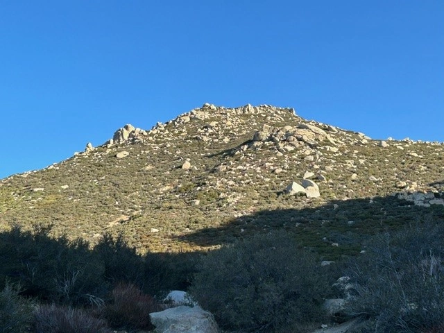
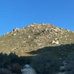
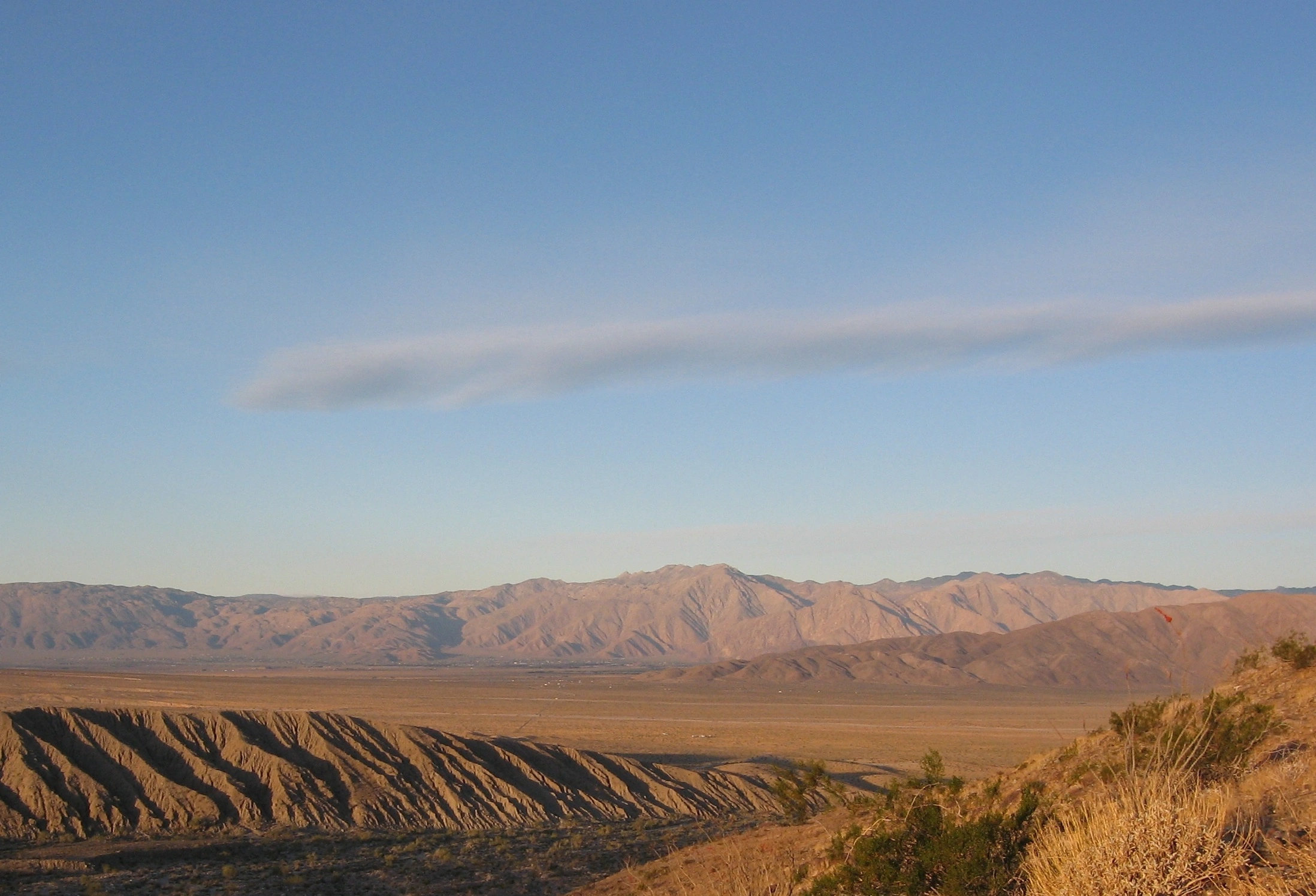
San Ysidro Mountain from Villager Peak, Photo by Kathy Wing.

Peak Name

San Ysidro Mountain
31I

Elevation

6147

 feet

Status

active

Region

San Diego County North Of Hwy 78

Range

San Diego Area Ranges

Nearby peaks

Location

33.2539271,-116.4986274

Description

Isidro of Seville, the namesake for San Ysidro Mountain, was the Bishop of Seville at the start of the 7th century. At the start of the 21st century, Isidro became the patron saint of the Internet among Catholics. In addition to having a mountain named after him, San Isidro/Ysidro is a place name around the world and in southern California there is creek, ranch, trail, and falls named San Ysidro.

Located in Anza Borrego State Park, there are two official HPS routes to the summit. Both traverse the shoulders of The Thimble (5779’), but Route 1 passes along the eastern flank and Route 2 ascends a gully on the western flank.

Route 1 is entirely within the Anza Borrego State Park, though no entry fee is required. Route 2 first crosses the San Ysidro Mountain Wilderness Study Area (another example of San Ysidro namesakes) before entering Anza Borrego State Park and at the very end joining Route 1 to reach the summit. The private property signs along Route 2 do not prevent hiking the abandoned jeep road at the start of the hike.

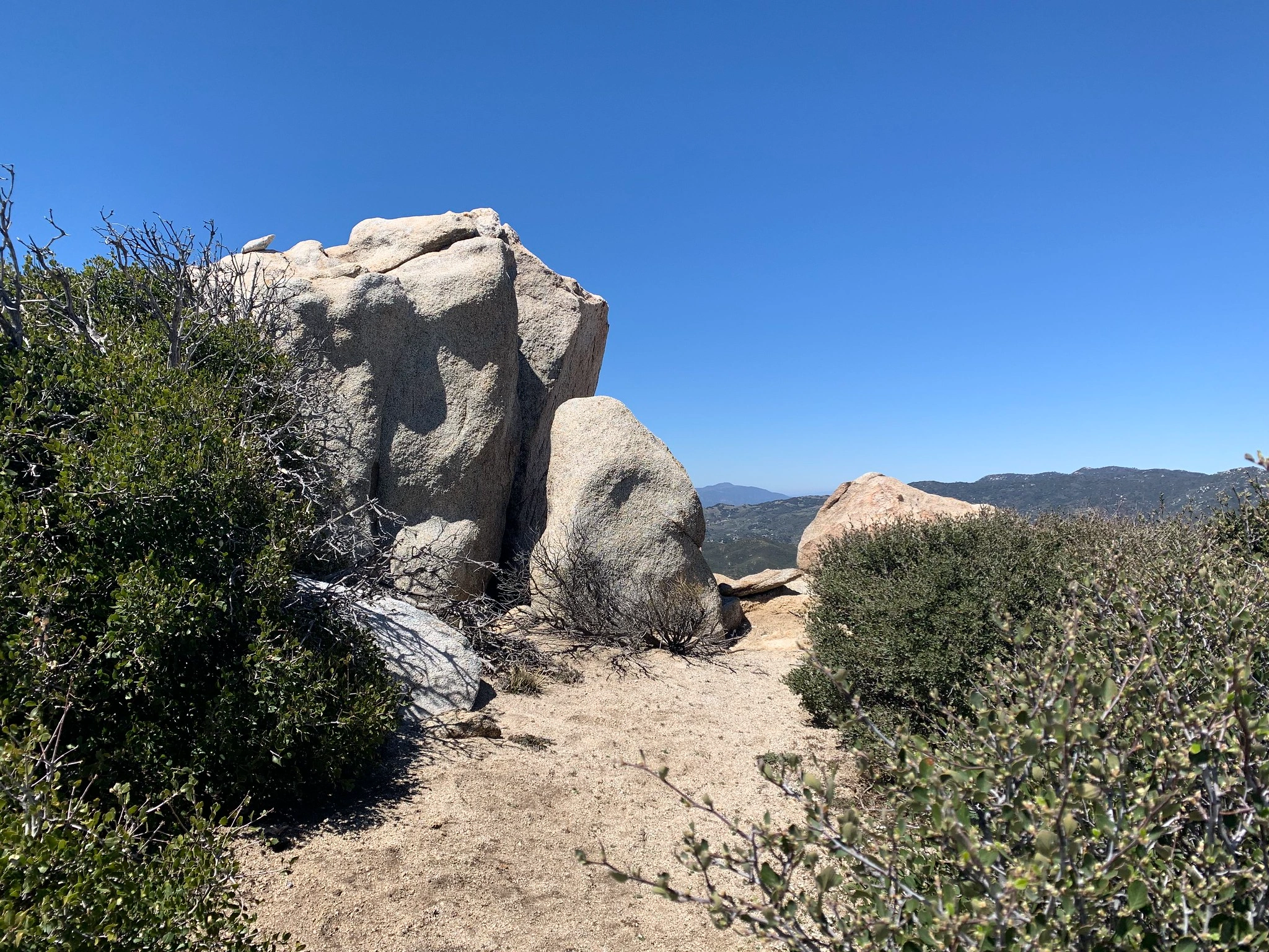
On the summit there is a generous flat area surrounded by three or four gendarmes (depending on how you count) guarding the mountaintop. This is where you will find the peak register. The USGS cemented the “Ysidro” benchmark on top of the tallest of the gendarmes. As always, climbing the summit block is optional when claiming the peak. Gazing southeast between the gendarmes, you can see Mexico on the horizon, 80 miles away.

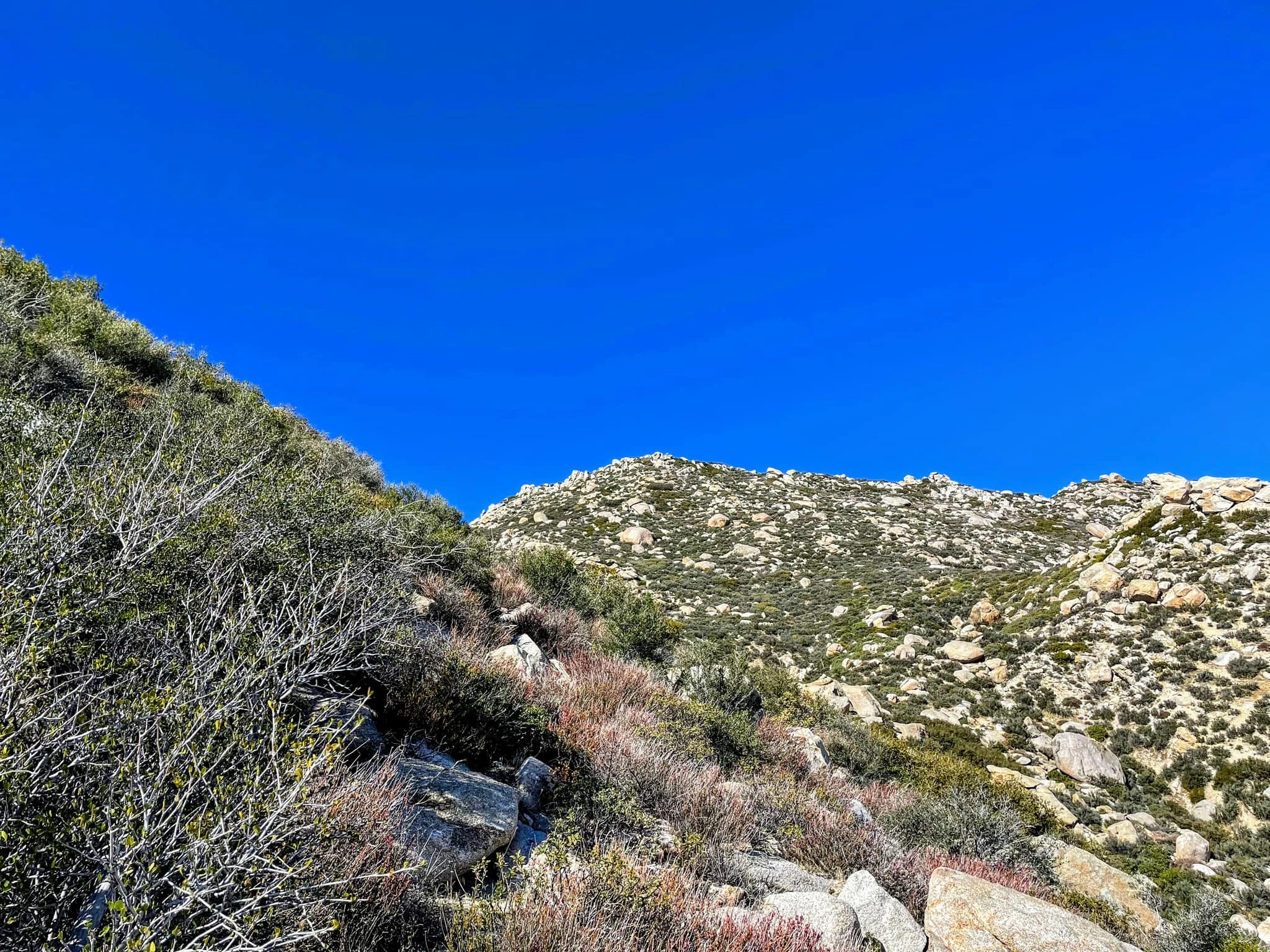
Both approaches include extensive off-trail shadeless routes. The occasionally ducked paths over uneven desert terrain wind through ceanothus species and occasional yuccas. The potential passages between boulders are often clogged with brush that become denser as you climb the last 400 feet before the peak.

Visiting in the spring, after the winter rains, the varieties of flowering ceanothus, blooming yuccas, and California poppies provide additional color to the year-round greens and grays, with temperate hiking weather before the scorching summer months.”

Maps generated from CalTopo.com, reproduced with permission

Route 1
Elevation Gain
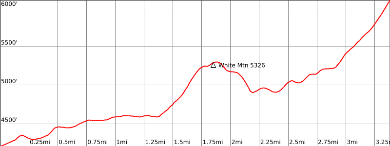
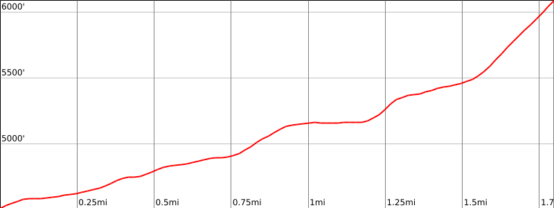
3200′ total, 2600′ out plus 600′ on return
Navigation Difficulty
Difficult
Distance
10 miles round trip cross-country
Estimated time
6-8 hours round trip
Route Rating
Class 1, strenuous
Leader Rating Required
“I”, normal conditions

Driving route

Take I-15 south to Temecula.
Take the second off-ramp for SR 79, signed “79 South / Indio”. Turn left (east) on SR 79 for 37 miles to the town of Warner Springs.
Continue south of Warner Springs on SR 79 for 3.5 miles to a junction with S2 coming in from the left. Turn left onto S2.
Drive southeast 4.7 miles to S22. Turn left.
Drive east on S22 for 6.6 miles to the Anza-Borrego State Park Boundary, which is signed at the top of a rise in the road. Park on the road shoulder just past the rise at the end of the fence on the left side of the road.

Hiking route

From the parking area (4200′), head north up the ridge, parallel to the fence but eventually veering northeast, following openings through cholla and scrub brush.
Within a mile of the highway, the fence takes about a 1/4 mile jog to the east. When you meet this east-west fence portion, turn east around the fence corner, ending up about 1/4 mile south of a prominent formation known as Chimney Rock. Head north past this rock and the next bump on their east sides.
Then go north up a ridge and over bump 5326′, which has a register on top (“White Benchmark”).
Continue north from White BM through moderate to heavy brush along the east side of the Thimble.
Upon meeting a major gully about 0.2 mile to the northeast of the Thimble, turn west and ascend the gully to the saddle at its head.
From the saddle, go north up brushy slopes to the summit.

Route Notes

Printable Route

Road Type

Paved

Google Maps Link to Trailhead 

Route 2
Elevation Gain
1500′ total
Navigation Difficulty
Difficult
Distance
4-5 miles round trip cross-country
Estimated time
2-3 hours round trip
Route Rating
Class 1, strenuous
Leader Rating Required
“I”, normal conditions

Driving route

Take I-15 south to Temecula.
Continue south of Warner Springs on SR 79 for 3.5 miles to a junction with S2 coming in from the left. Turn left onto S2.
Drive southeast 4.7 miles to S22. Turn left.
Drive east on S22 for 5.4 miles to the good dirt Lease Road. Turn left.
Drive 1.5 miles north on Lease Road. Just past Jack Ass Road, turn right onto a dirt road.
Drive 0.5 mile until you reach an Anza-Borrego boundary sign. Park here. The dirt road to the right is private property.

Hiking route

From the parking area (4500′), head north up a broad canyon on a dirt road and use trail.
After approximately 0.7 mile, reach a steep gully. To the right of the gully is a dirt road between Prospects Peak (5685′) and 5035′. Turn onto the dirt road.
Follow the jeep road in a southeast direction to a saddle.
Leave the road at the saddle to avoid private property down the road. Walk across a flat area toward a gully, staying low enough to avoid brush.
Ascend the gully on the west side of The Thimble.
When the gully becomes brushy, pick a path through the brush to the peak. The route is lightly ducked.

Route Notes

Printable Route

Road Type

Dirt

Google Maps Link to Trailhead 

Additional Peak Information

Notes: San Ysidro Peak lies within the Anza-Borrego State Park, but no fee is required when parking along the shoulder of paved road S22.

Nearby Peaks

Backus Peak
Owens Peak
Black Mountain #5
Morris Peak

External Links

mountain 1

Peakbagger.com

Click Here

ranger-tower 1

Nearest ranger station

Click Here

g311

NOAA Forecast

Click Here

worldwide 1

Google Earth

Click Here

Photo Gallery