Peak Name
Elevation
feet
Status
Region
Range
Nearby peaks
Location
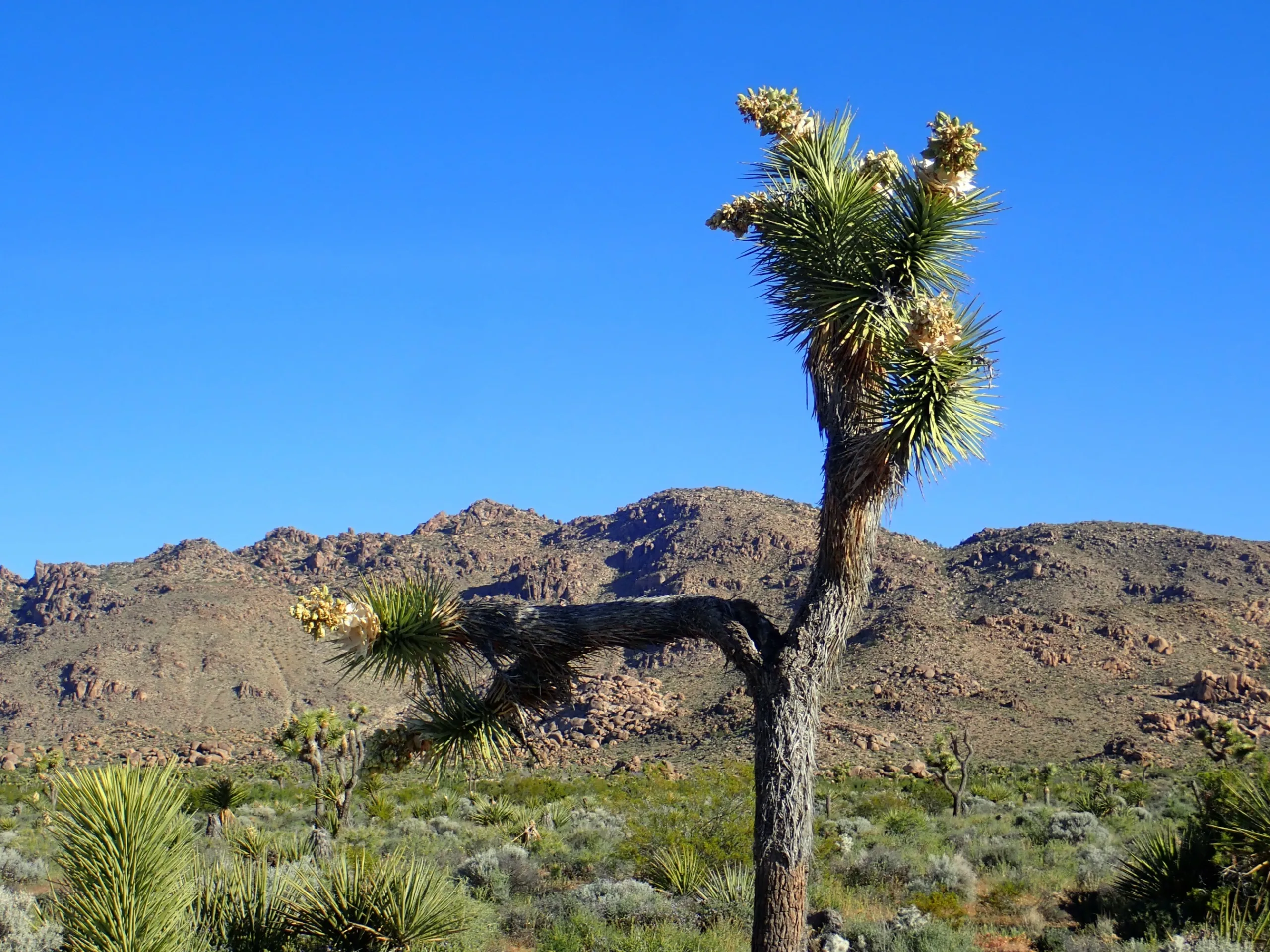
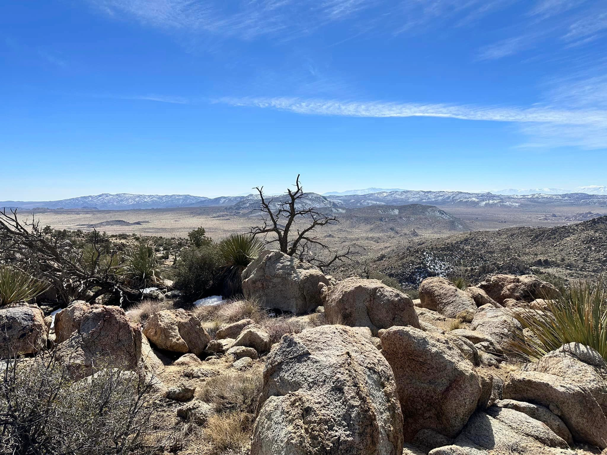
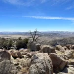
However this peak got its name, Queen is worthy of its name. The views are spectacular, with Ryan Mountain, Lost Horse area and most of the northern part of the park spread out in front of you from the impressive summit block.
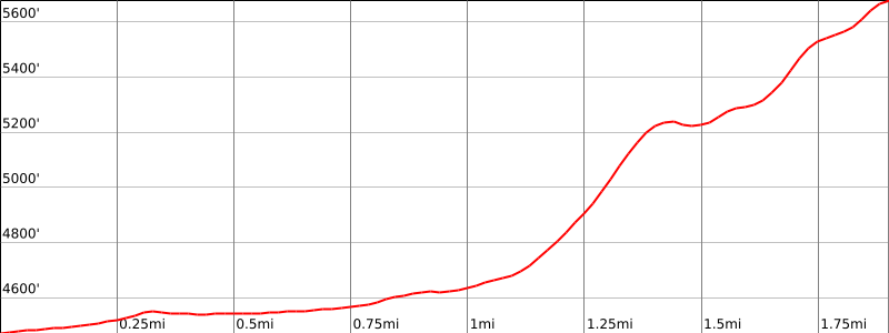
Route 1 is a fun and challenging hike on varied terrain, garden-like desert, rocky scrambles and a slabby summit block. It starts on a faint old road bed before traversing up and east on a steep terrace-like gully then across a plateau, then on to the main gully that splits the peak and its eastern companion to finally approach the summit up slabs from behind. One may return on the same trail or continue down the main gully to follow washes back to your vehicles. Though there is ducked use trail most of the way for these routes, route finding requires some attention.
Maps generated from CalTopo.com, reproduced with permission
Driving route
Take I-10 east past Banning to the intersection with SR 62.
Go north on SR 62 to the Park Road in the town of Joshua Tree with a sign “Joshua Tree National Park”. Turn right. Note your odometer and go as follows:
At 16 miles, intersection with Keys View Road. Keep left.
At 20.6 miles, turn left at Big Horn Pass Road, a paved road which turns into a dirt road. Note your odometer again and go as follows:
At 0.4 mile, fork. Keep right.
At 1.0 mile, junction. Keep straight.
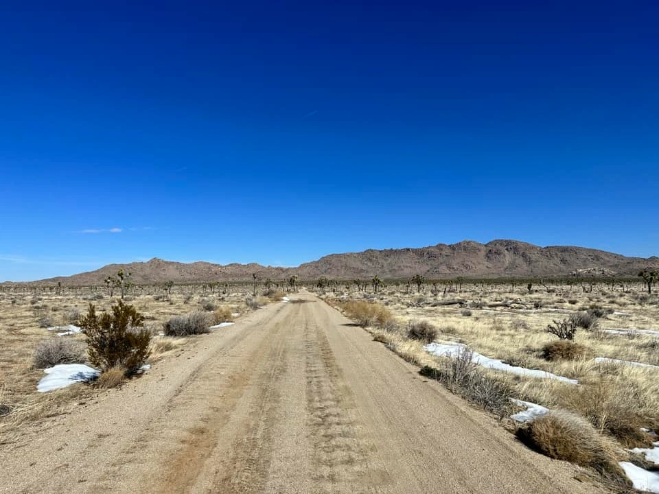
At 1.9 miles, a parking area. All vehicles must park here.
Hiking route
From the parking area, hike about 0.9 mile up a dirt road to its end.
From this point follow an obvious and ducked trail leading eastward and upward to a ridge.
From this point a ducked route contours around a few hundred yards, then upward to a wide gully generally following the west side of the gully.
Follow the ducked route as it tops out above the gully. The summit is to your left at this point.
Follow a use trail as it contours around the east side of the summit. The route curves around to the north side of the summit and then heads south to reach the summit block.
To approach the summit, ascend an easy crack in a ten-foot rock face, marked by a duck, and follow friction slabs to the summit.
National Park Service entrance fee is required.
Additional Peak Information
Special conditions: Beware of other ducked routes in the area. With the passage of time ducks disappear or are destroyed. Conditions in the field are dynamic and changes over time are to be expected.
The benchmark and the register are on the peak to the east, elevation 5677. National Park Service entrance fee.


You must be logged in to upload images.