
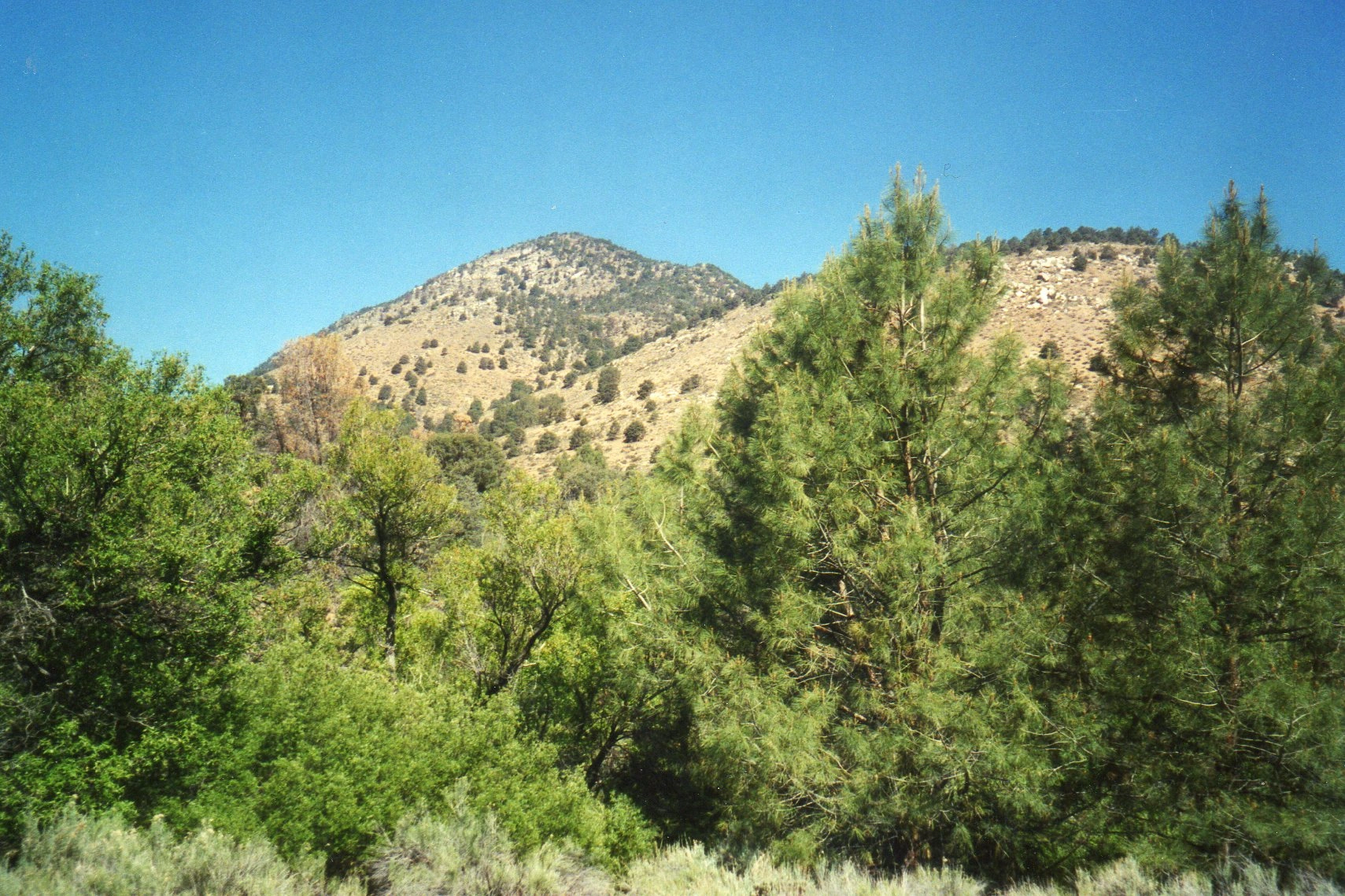
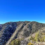
Pinyon Peak, photo by Kathy Wing
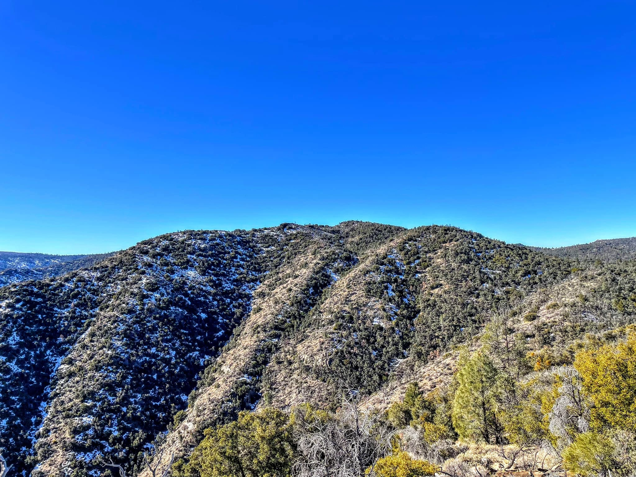
Pinyon, photo by Janet Howell
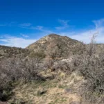
Pinyon Peak, photo by Sunny Yi
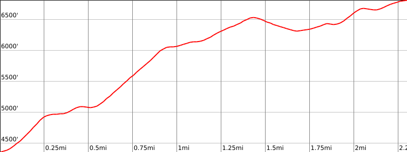

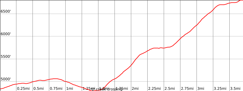

Peakbagger.com

Nearest ranger station

NOAA Forecast

Google Earth


