
Mount Lewis, taken from Hawkins Area, photo by Kathy Wing
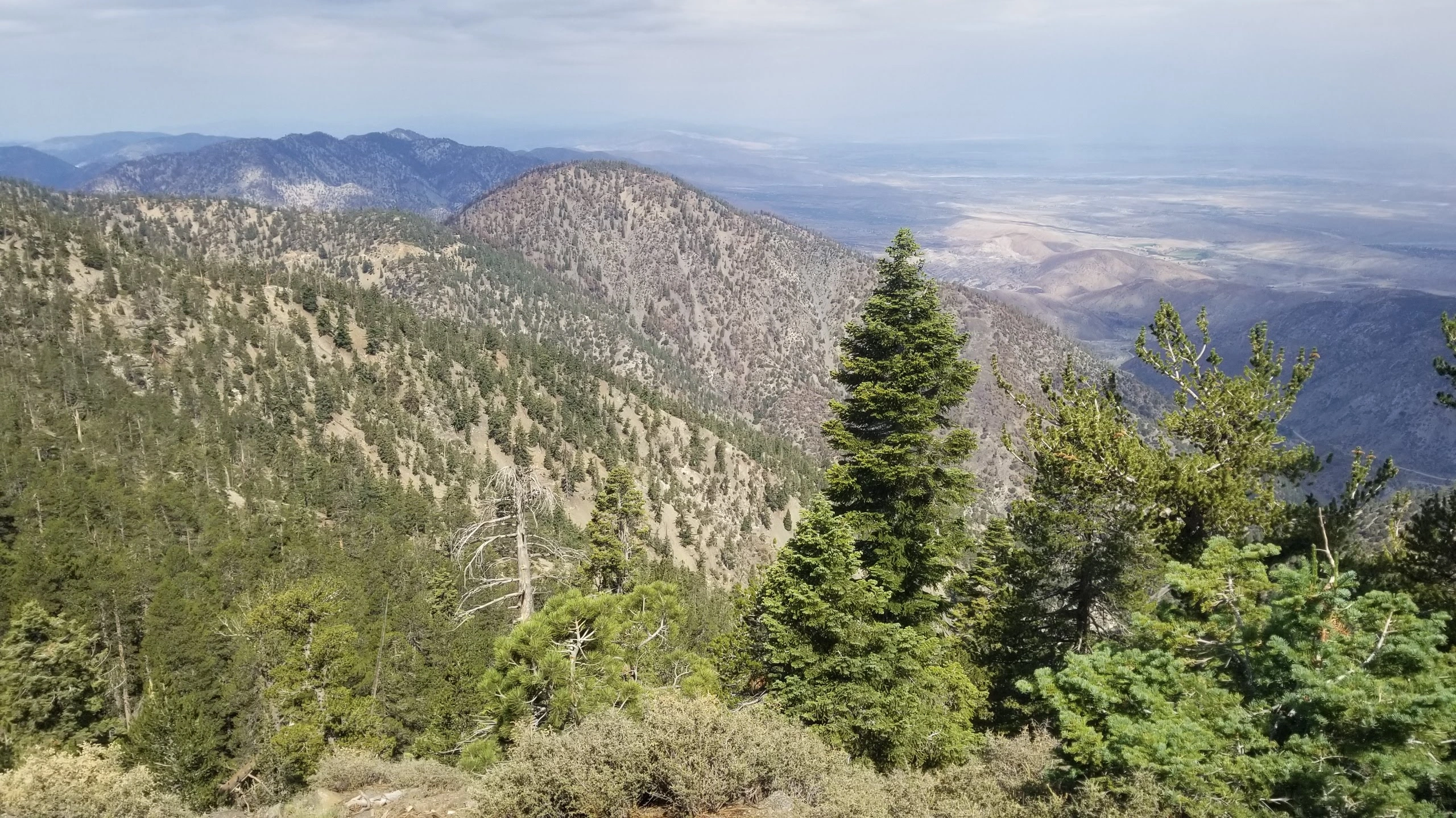
Mount Lewis, taken from Dawson Saddle, photo by Chris Waldheim


Peakbagger.com

Nearest ranger station

NOAA Forecast

Google Earth


