Peak Name
Elevation
feet
Status
Region
Range
Nearby peaks
Location
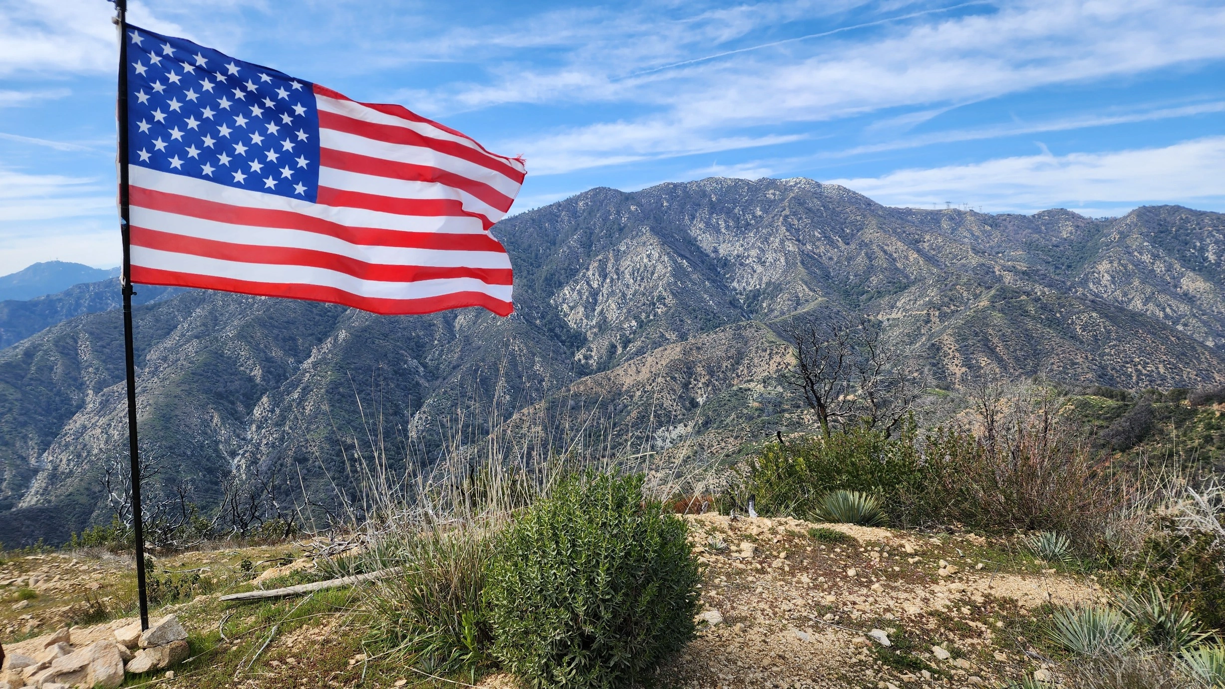
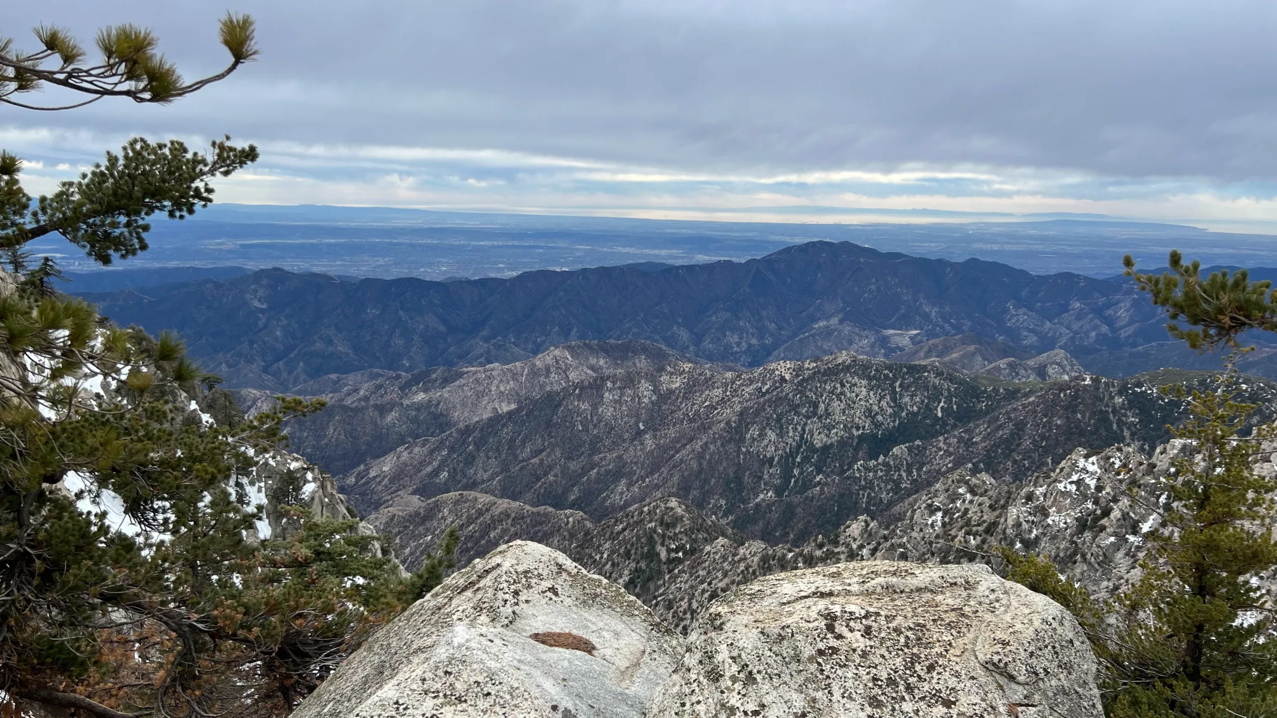
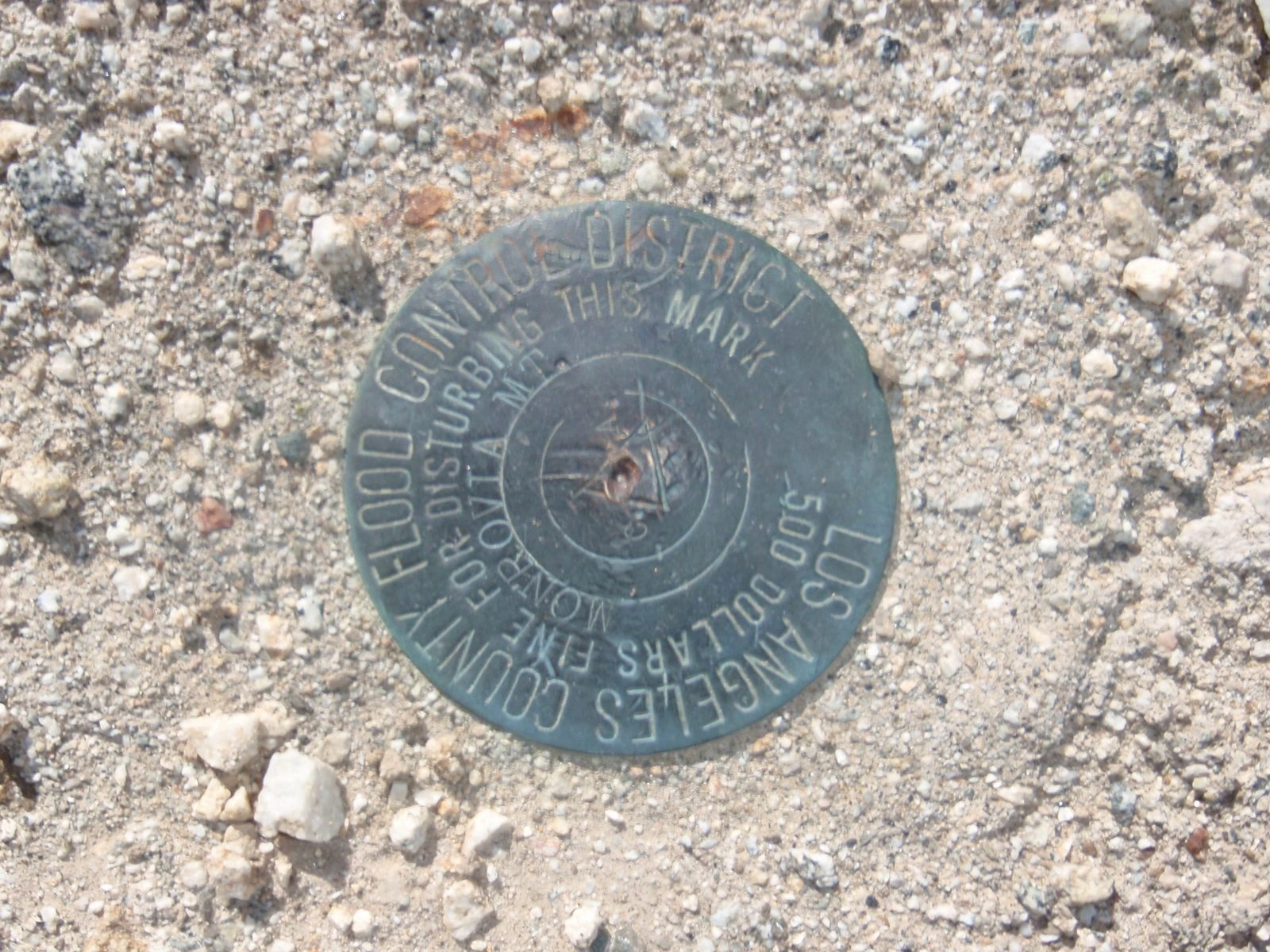
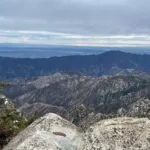
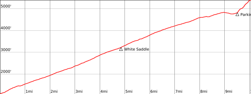
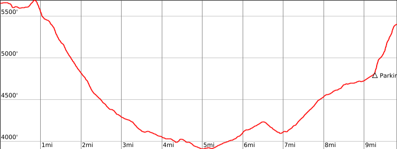
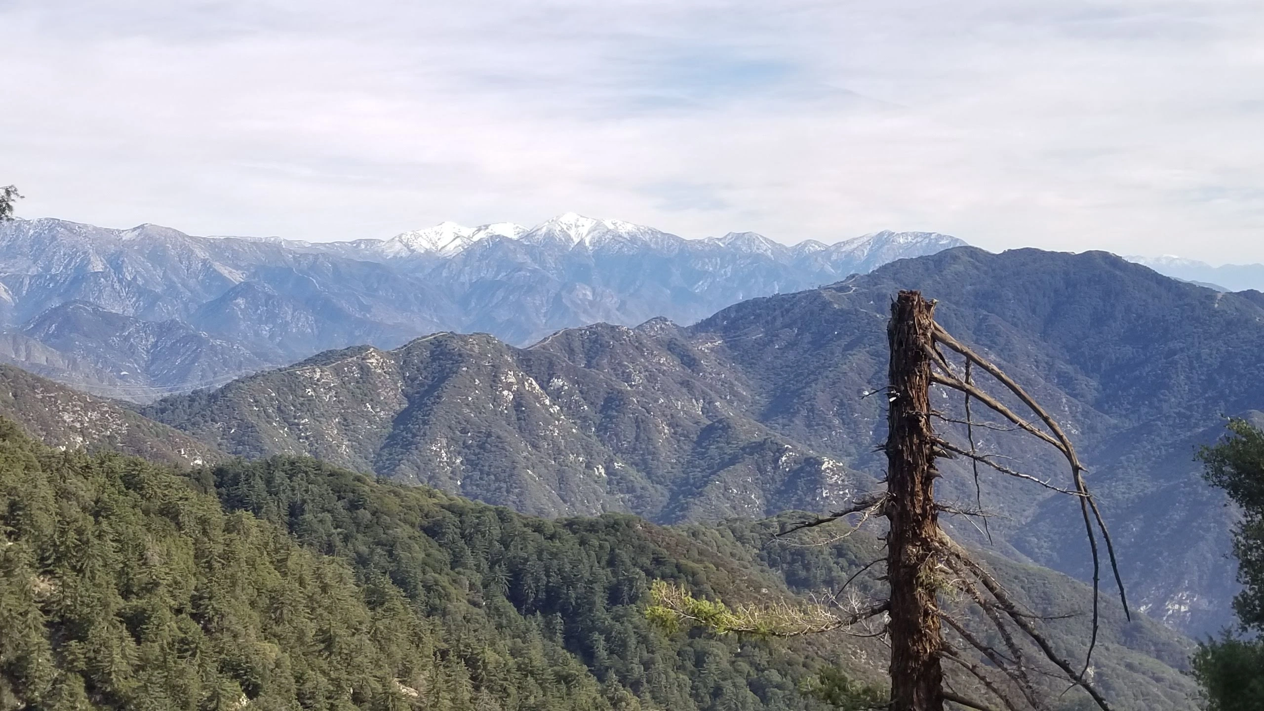
Monrovia Peak is a long and strenuous hike from all directions, but offers a multitude of views; to the east, the San Bernardinos, north and west the San Gabriels, south the San Bernardino and LA basins and the ocean. Route 2 from Monrovia ascends use trails, roads and firebreaks over a series of smaller peaks. Route 3 from Monrovia Canyon Park is a long tedious road hike and subject to park closures and operating hours. Route 4 is via Rincon Red Box Road, which must be hiked unless the gate is open or a permit obtained.
Maps generated from CalTopo.com, reproduced with permission
Driving route
Take I-210 to the Myrtle Avenue off-ramp.
Go north on Myrtle Avenue for 1.6 miles to Hillcrest Boulevard. Turn right.
Go 0.2 mile to Canyon Boulevard. Turn left.
Go 0.4 mile to Ridgeside Drive. Turn left.
Go 0.4 mile to a narrow unmarked paved road on the left, just north of 865 Ridgeside Drive. This is the Clamshell Truck Trail. Park on the street at this point.
Hiking route
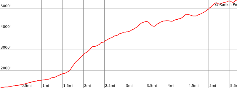
From the beginning of the Clamshell Truck Trail (1130′), go up the road a short distance to a locked gate at the beginning of a dirt road. Pass this gate and continue up the dirt road about a mile to a shallow saddle with a firebreak coming down a ridge on the right.
Turn right and go up this firebreak to where it turns into a cat track.
Keep right here and follow the cat track as it goes off to the right of the ridge and then regains the ridge.
Continue up the ridge to the top of Clamshell Peak. There is usually a register on this summit.
Go off the east side of the peak, descending about 250′ to the Clamshell Truck Trail at about 4100′.
Go east on the road about 1 1/4 miles to where a ridge comes down from Rankin Peak on the right.
Go up this ridge to Rankin Peak. There is a monument to Rev. Rankin for whom the peak is named on the top of this peak.
Continue east down through a saddle, over a bump, into another saddle, and then up to the summit.
Route Notes
Driving route
Take I-210 to the Myrtle Avenue off-ramp.
Go north on Myrtle Avenue for 1.6 miles to Hillcrest Boulevard. Turn right.
Go 0.2 mile to Canyon Boulevard. Turn left.
Go 0.5 mile to Oakglade Drive, just before Ridgeside Drive (920′). Park here if you plan to enter the park before or after hours.
Or continue 0.6 mile further to the pay station. Park in the lot near the station.
Hiking route
From the pay station parking lot (1060′), go up (north) on the road for about 100 yards to a junction.
Turn right on the road towards Trask Boy Scout Camp. Continue on this road past various landmarks (Sawpit Dam, Trask Boy Scout Camp, the start and end of the Ben Overturff Trail) for about 5 miles, to White Saddle (very obvious).
Take the left (north) road for another 3 miles to the Red Box-Rincon Road.
Turn left and go 1.0 mile, passing some power lines, to a ravine on the left.
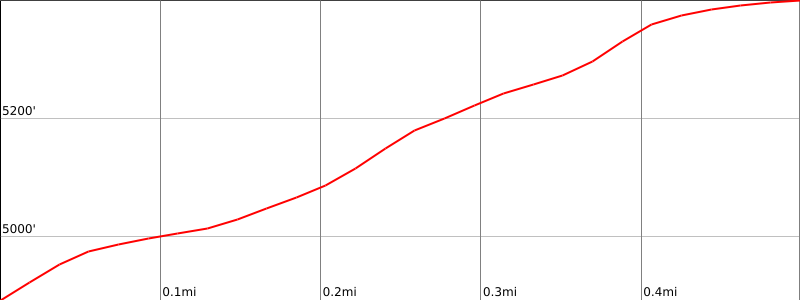
Follow a use trail up the ravine through some brush to a firebreak. Turn right and follow the firebreak to the summit (1/2 mile, 600′).
Notes: City parking fee required. The park is open from 8:00 a.m. to 5:00 p.m. daily except Tuesday. There is a small parking fee. The Overturff Trail (a scenic alternate to the road) is closed occasionally due to target practice at the police shooting range in Sawpit Canyon. (The road is open all week). For information call (626) 357-5046.
Route combination: Route 3 may be combined with Route 2 into a loop trip, not requiring a car shuttle.
Driving route
Take I-210 to the Azusa Avenue exit (SR 39).
Go north on SR 39 about 12 miles to the intersection with the East Fork Road.
Go 0.8 mile more to the gated Red Box-Rincon Road on the left (2N24). Turn left.
Go through the gate (see the permit information below), note your odometer and go as follows:
At 7.8 miles, fork. Go left.
At 10.8 miles, fork. Go right.
At 11.8 miles, a ravine on the left. One or two cars can park here. More parking is available slightly to the west.
Hiking route
From the parking area (4800′), follow a use trail up the ravine through some brush to a firebreak.
Turn right and follow the firebreak to the summit.
Route Notes
Permit information: To drive this route, you must obtain a permit and a lock combination for the Red Box-Rincon Road (2N24). This permit is seasonal. For information contact:
San Gabriel River Ranger District
Angeles National Forest
110 N. Wabash
Glendora, CA 91741
(626) 335-1251
Driving route
From the intersection of I-210 and Angeles Crest Highway (SR 2), drive north on Angeles Crest Highway 9.5 miles to Angeles Forest Highway. Keep straight.
Continue about 4.5 miles to the junction with the Mount Wilson Road at the Red Box Ranger Station. Turn right.
Drive about 5 miles to the Mt. Wilson Park. Park to the right of the entrance or enter the park itself (open weekends and holidays).
Hiking route
Walk to the highest accessible point outside the snack bar, and follow the Rim Trail to the Newcomb Pass, 3.5 miles (you may encounter poison oak on the trail as you reach the pass.)
From the Newcomb Pass, take the unimproved dirt road east to 2N24 and hike 6.5 miles until you reach a to a small ravine on the right.
Follow a use trail up the ravine through some brush to a firebreak. Turn right and follow the firebreak to the summit (½ mile, 600′).
Notes: City parking fee required. The park is open from 8:00 a.m. to 5:00 p.m. daily except Tuesday. There is a small parking fee. The Overturff Trail (a scenic alternate to the road) is closed occasionally due to target practice at the police shooting range in Sawpit Canyon. (The road is open all week). For information call (626) 357-5046.
Route combination: Route 3 may be combined with Route 2 into a loop trip, not requiring a car shuttle.


You must be logged in to upload images.