Peak Name
Elevation
feet
Status
Region
Range
Nearby peaks
Location
Mill is named in recognition of the early logging operations here and the mill that once operated nearby. While it might seem like an afterthought to those visiting the three peaks along this road and the views are partly obscured by brush, it is a truly enjoyable hike, through peaceful forest on shaded trails.
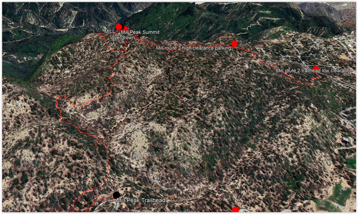
Route 1 starts on old road and trail, past several trail junctions where Forest Service maps are inaccurate, to ascend the peak from the west. The final sections are very brushy but there is a decent use trail. Route 2 starts from the community below and ascends along a maze of old roads to join Route 1; one can drive part way up with a high clearance vehicle.
Maps generated from CalTopo.com, reproduced with permission
Driving route
Drive east on I-10 to I-215.
Go north on I-215 to SR 210.
Go east on SR 210 to SR 330.
Go north on SR 330 to Running Springs. Continue towards Big Bear on SR 18.
Go 1.0 miles to the paved Keller Peak Road, 1N96, on the right (south). Turn right. Note your odometer and go as follows:
At 0.5 mile, 1N42 on the right, gated. Park here.
Hiking route
From the parking area, pass the gate and go downhill on 1N42 a few hundred yards, across the streambed, following the road to the right and southwest another 250 yards to a fork. Keep left.
Go about 1/3 mile to another fork. Keep right.
Go another 1/3 mile, to an open flat area with another fork. Keep left.
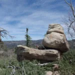
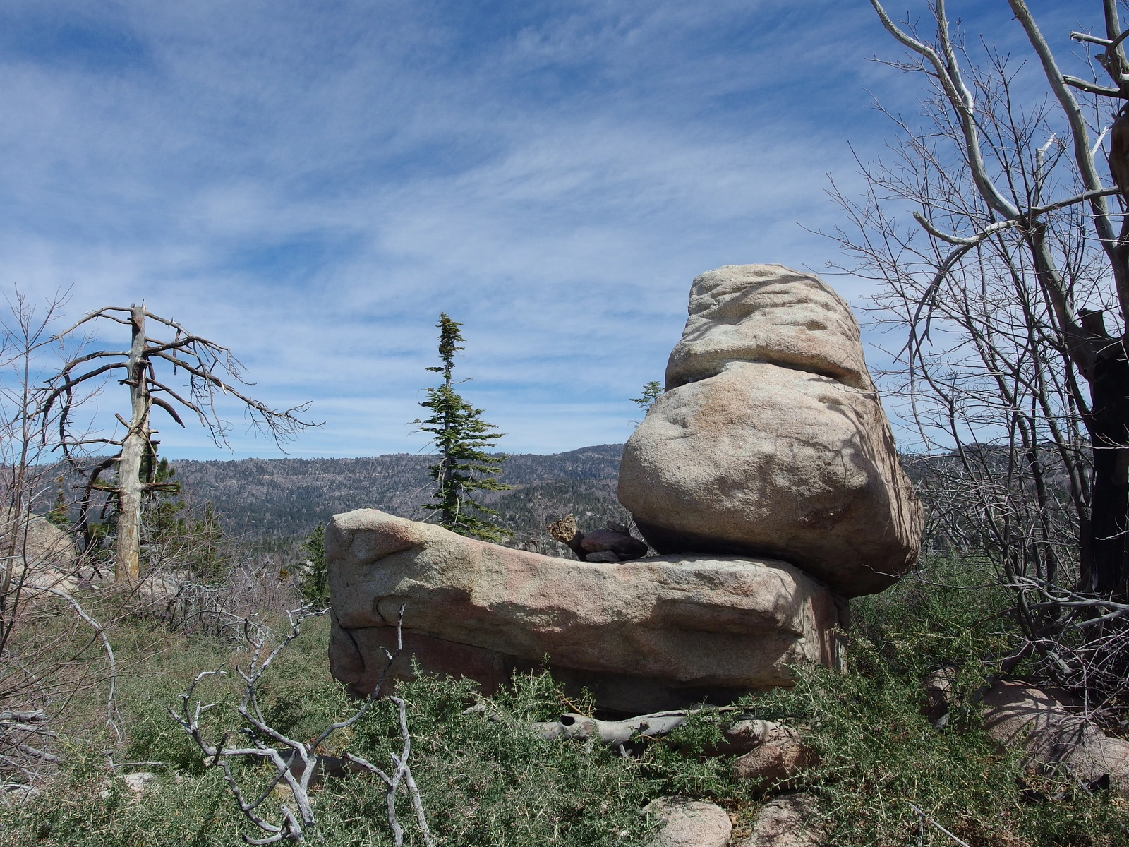
Go 250 yards more to some large boulders on the right. Leave the road here to the right and go south-southeast up to the summit.
Note: If the gate is open, it is possible to drive to the top of the ridge east of the summit and park at an obvious wide turnout on the road. Hike about 1/8 mile west to the summit. Elevation gain is about 150′.
Driving route
From Running Springs, go 0.9 mile east on SR 18 to Running Springs School Road and turn right (south).
Follow paved road south 0.5 miles to street address 3330.
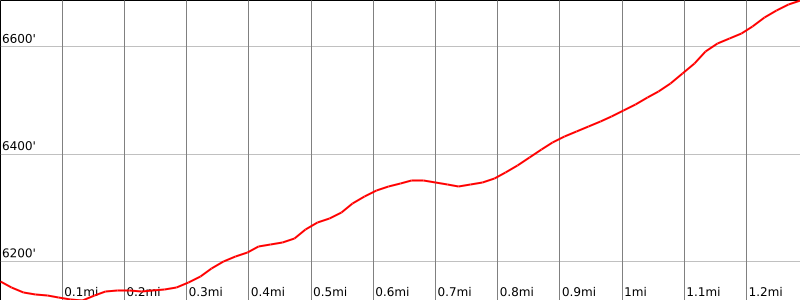
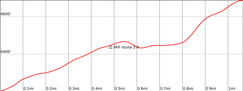
Turn left onto a dirt road. High-clearance vehicles can continue 0.6 mile. Low-clearance vehicles should park here (6100′), adding 400′ gain and 1.2 miles to the hike.
Stay to the right at the immediate Y fork and continue on the main dirt road 0.6 miles, ignoring any intervening spur roads, until you reach a saddle with a fence line crossing the saddle on the east side. Park here.
Hiking route
From the parking area (6500′), note a gap in the fence with a prominent use trail going between the fence posts. Follow the trail through the fence.
The trail stays to the right (south) of the ridge, reaching the summit of the peak in less than ½ mile. The summit is the bump with a flat rock platform on top.
Route Notes


You must be logged in to upload images.